

BlockBefore
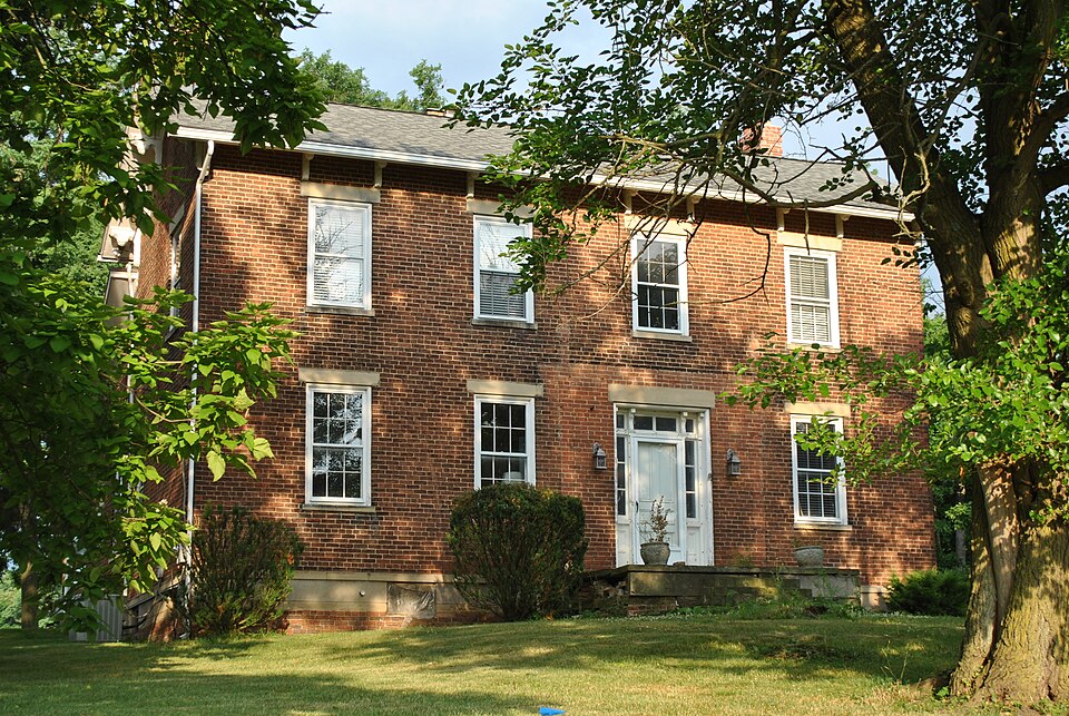
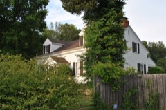
Photograph of Stephen Sharp House
Photograph by Wdzinc, CC BY-SA 3.0. Via Wikimedia Commons.

Sharp, Stephen, House

Listed on the National Register of Historic Places in 1982. A historic map-sheet match is not published yet. The record needs a coordinate-quality review before it can be joined to a sheet boundary.

From the record

one of 49 National Register listings in Delaware County · listed in 1982 · category: Building.

Sources: the case file at the National Archives · the National Register database, National Park Service

The listing

  • What is counted as historic. The nomination lists 7 buildingss as contributing to the listing.
  • Address. 8025 Africa Rd, Westerville, 43082
  • When was it listed? 1982-09-30
  • Category. building
  • Township. Westerville City township
  • National Register reference number. 82003564 - the number the National Park Service assigned this property when it was listed, and the key its nomination file is catalogued under at the National Archives.

Specimens collected near this property

12 of 2,274 shown

Regional context, not property-specific evidence. Museums hold 2,274 specimens collected within 10 miles of Sharp, Stephen, House between 1850 and 1975: 2,152 Animalia, 64 Fungi, 56 Plantae, 1 Unrecorded, 1 Chromista. 12 distinct Species records are shown. Collected by A C Whitney, A S BRADSHAW, A. P. Morgan and others. Each is a physical object with a catalogue number, and each entry opens the museum's record. This is what was collected and kept, not a survey of what lives here - nothing can be concluded from a species being absent.

Image SpeciesYear Collected by Where, as recorded
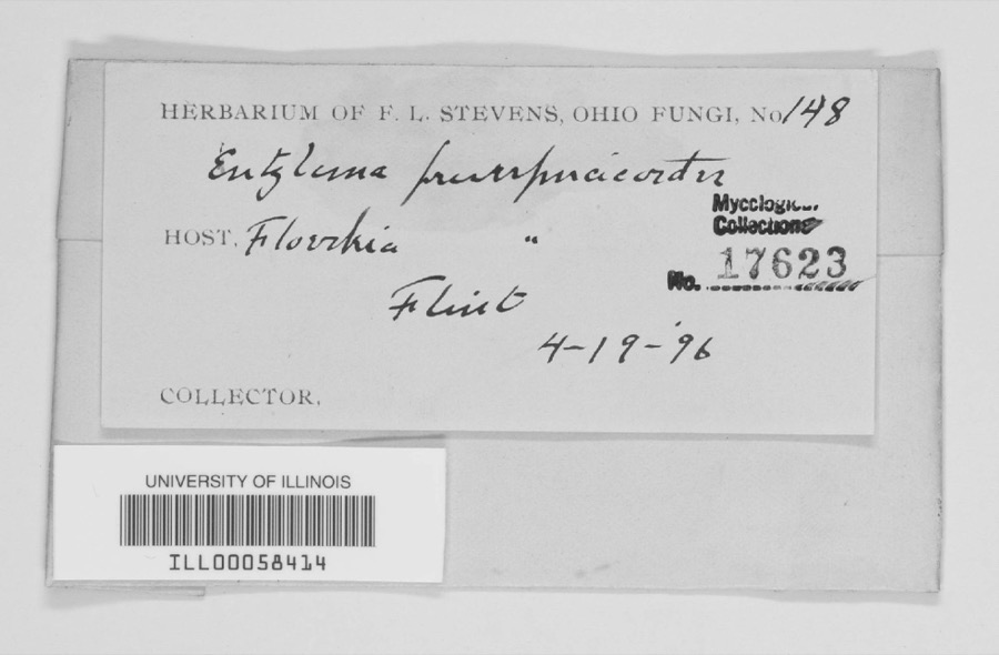
Specimen of unnamed1896F. L. StevensFlint.
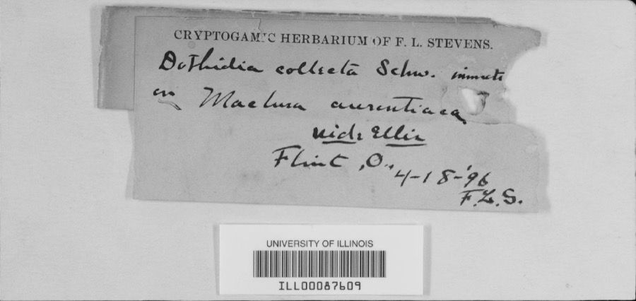
Specimen of Dothidea Fr., 1818Dothidea Fr., 18181896F.L. Stevens
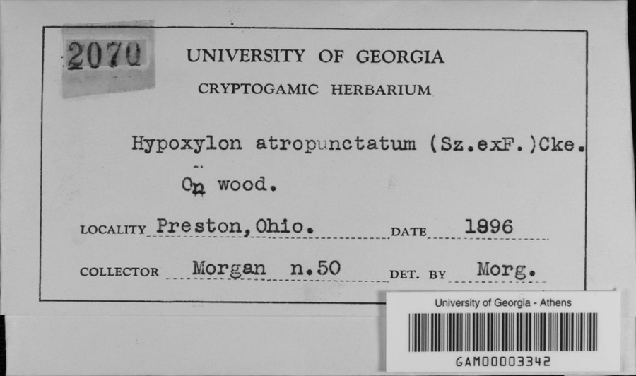
Specimen of Hypoxylon atropunctatum (Schwein.) CookeHypoxylon atropunctatum (Schwein.) Cooke1896A. P. MorganPreston
A photograph of the species Ectopistes migratorius, not of this specimenEctopistes migratorius (Linnaeus, 1766)1850Kugel, B. (Burt)near Selma, Ohio, USA
A photograph of the species Podiceps auritus, not of this specimenPodiceps auritus (Linnaeus, 1758)1860Ricke, A. S.Carlisle, Ohio, USA
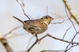
A photograph of the species Centronyx henslowii, not of this specimenCentronyx henslowii (Audubon, 1829)1872not recordedLicking Reservoir, Ohio, USA
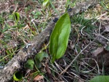
A photograph of the species Ophioglossum vulgatum, not of this specimenOphioglossum vulgatum L.1873Hussey, J.
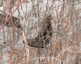
A photograph of the species Bonasa umbellus, not of this specimenBonasa umbellus (Linnaeus, 1766)1874not recordedSugar Grove, Ohio, USA
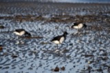
A photograph of the species Branta bernicla, not of this specimenBranta bernicla hrota (O.F.Müller, 1776)1874not recordedLake Erie, Ohio, USA
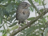
A photograph of the species Melospiza lincolnii, not of this specimenMelospiza lincolnii (Audubon, 1834)1874Wheaton, J. M. (John Maynard)Licking Reservoir, Ohio, USA
A photograph of the species Phalaropus lobatus, not of this specimenPhalaropus lobatus (Linnaeus, 1758)1874Jasper, T. (Theodore)Columbus, Scioto R., Ohio, USA
A photograph of the species Tympanuchus americanus, not of this specimenTympanuchus americanus (Reichenbach, 1852)1874not recordedMonroeville, Ohio, USA

All 2,274 specimens within 10 miles, at the Global Biodiversity Information Facility.

Map coverage status

No historic map-sheet match is published for this property yet. That does not mean no map exists. This record needs a coordinate-quality review before it can be joined to a sheet boundary. Browse the county's mapped places while that work is pending.

From the nomination file

1,564 words on record

When this property was proposed for the National Register, someone wrote the case for it: what the building is, and why it matters. That document is a federal record in the public domain. It is quoted below word for word, never summarised. The text was read off the scanned case file by machine, so the occasional stray character is the recogniser's and the 1970s typewriter's.

Description of the property

in rural Genoa Township near the border of Delaware and Franklin Counties. Chicken coop 7. Description Condition date excellent unexposed ruins fair House The Bean property includes a brick house and 6 frame outbuildings located Barn transom and sidelights is the most distinctive feature on an otherwise simple porch was removed but the profile is still visible on the brick. Chimneys are braced frame construction & all but one have board & batten siding. Xdeteriorated The complex is vacant and in deteriorated condition,however the owner has located at either gable end.The cornice is bracketed. The brick residence is constructed on a raised brick and stone foundation. plans to rehabilitate the house for use as his residence.

Several frame outbuildings remain and appear to be quite old.They are Check one facade.The windows are double hung,6/6 sash with stone lintels and sills.A fenterow Workshop I Leanto It measures 4 x 2 bays and a gable roof. The slightly recessed entrance with cornerib one story brick wing extends the entire length of the house.A decorative wood Hedgerow Areas of Significance - Check and justify below _ landscape architecture _ religion _ archeology-historic - agriculture - sculpture _ architecture .military - social/ . music - philosophy -politics/government .transportation -other (specify) c. 1858 Statement of
Statement of significance

(in one paragraph) Although fairly simple in design, the solid brick construction and handsome the family ever since then. Mr. Sharp, a native New Yorker, moved to Ohio in number of years. The current owner, a, descendant of Mr. Sharp, plans to rehabilitate the a farm economy based on fairly small scale operations that were scattered throughout Westerville has, in the last 30 years, been heavily impacted by subdivisions and the Alum Creek and Hoover Reservoir, two major recreational lakes in the immediate 1600-1699 1500-1599 1700-1799 commerce economics 1400-1499 art humanitarian conservation invention education communications industry engineering Period theater exploration/settlement science prehistoric literature Specific dates entrance are well executed.

Many of the braced frame outbuildings probably date law He was reportedly active in the Ohio Underground Railroad, was a Justice tecture in Delaware County. It is also important for its association with Steven Sharp, an early & active resident of Genoa Township. altered the "historic landscape" of the area, and has resulted in the loss of much of residential development.Adding to this new construction has been the completion of 8. Significance the historic architecture of the township.A fair number of historic residences X1800-1899 1900- farmstead from the 19th century heritage of the township.

Southeast Delaware County was settled in the first half of the l9th century vicinity(see USGS map).As a result this once predominately rural agricultural area remain along Sunbury Road on the east side of Hoover Reservoir south of Galena (see of the Peace and a leader in the Methodist Church in Genoa Township fora Stephen Sharp built the house in the late 1850's and it hasremained in - archeology-prehistoric community planning vacant property & use it as his residence.

Read the complete 1,564-word case file.

The whole case file for this property - 1,564 words, 14 pages, reproduced complete.

Quoted from the National Register nomination for reference 82003564, 14 pages, held by the National Archives in Record Group 79. See the catalogue record.

Listed places nearby

5 within 8 miles

Other National Register properties close enough to walk or drive between, ordered by distance from this one. Both positions come from the same geocoding pass that matched these properties to their map sheets.

Photograph PropertyDistance Listed
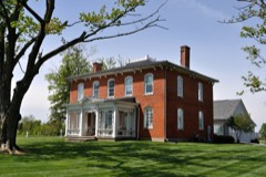
Keeler, Diadatus, House4.7 miles1979
Curtiss, Marcus, Inn4.8 miles1976
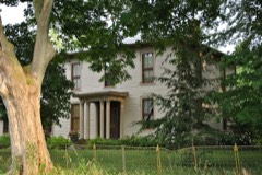
Gooding House and Tavern5.3 miles2005
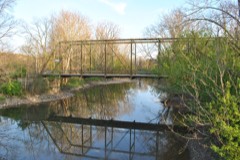
West Orange Road--Thomas Bridge6.1 miles2002
Cook, John, Farm6.1 miles1977

Sources for this property

National Archives recordThe nomination case file for reference 82003564 in Record Group 79.
Delaware CountyAll 49 listed properties in this county.

Provenance

  • Listing record. National Park Service National Register of Historic Places, listed-properties dataset, current to 2026-05-22.
  • Map join. Address geocoded through the United States Census geocoder, then tested against the published boundary of every sheet in the USGS Historical Topographic Map Collection.
  • How this page is made. Listing fields come from federal records; map-sheet coverage is a labelled coordinate-to-boundary calculation, not a source-field claim.
  • Specimens. Global Biodiversity Information Facility (GBIF), https://www.gbif.org/. Only records licensed CC0 or CC BY are used. Records licensed CC BY-NC are excluded because this site carries advertising. Images are checked individually and any whose licence is non-commercial, no-derivatives or unreadable is refused.