Listed on the National Register of Historic Places in
1977. A historic map-sheet match is not published yet. The record needs a coordinate-quality review before it can be joined to a sheet boundary.
From the record
one of 49 National Register listings in Delaware County · listed in 1977 · category: Building.
National Register reference number.77001059- the number the National Park Service assigned this property when it was listed, and the key its nomination file is catalogued under at the National Archives.
Fires near this property
1 since 2009
Regional context, not property-specific
evidence. The
federal wildfire occurrence database
lists 1 fire within 5 miles of Cook, John, Farm between
2009 and 2009, burning about 1 acres in total. None started naturally. None was recorded as arson.
Distance is straight-line from the map coordinates, so a fire counted
here may appear on a neighbouring settlement's page as well.
Reported cause
Fires
Equipment and vehicle use
1
The most recent of
them, most recent first, with the day each was reported and the service
that recorded it.
Regional context, not property-specific
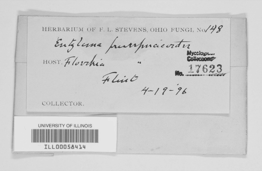
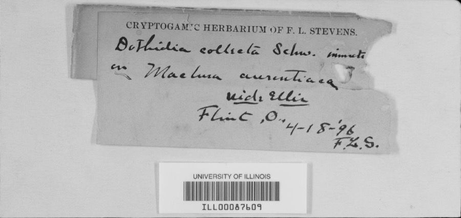
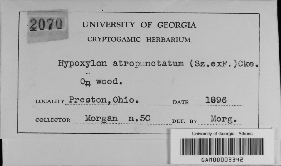
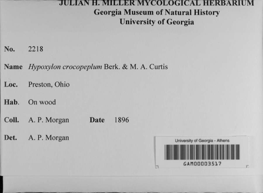
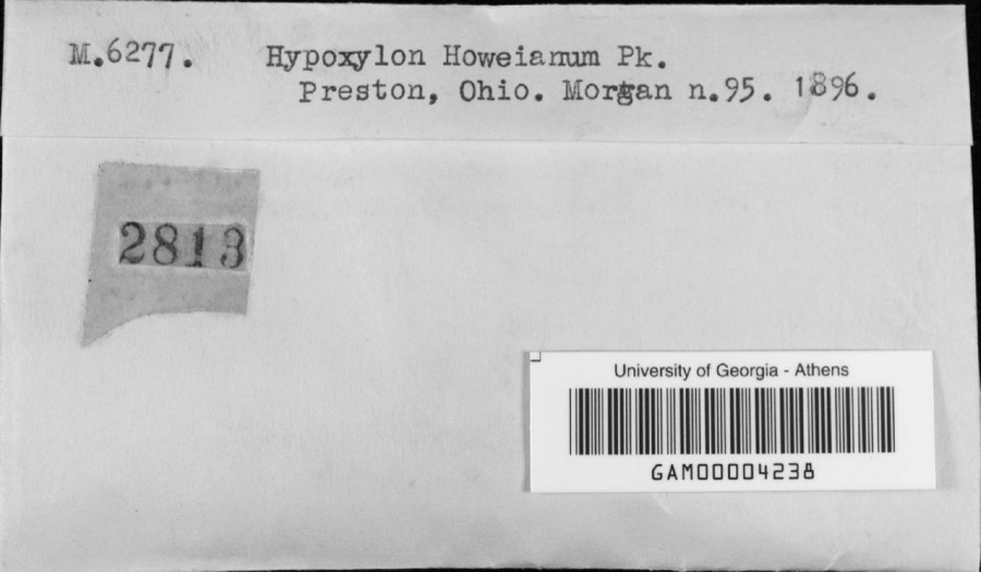
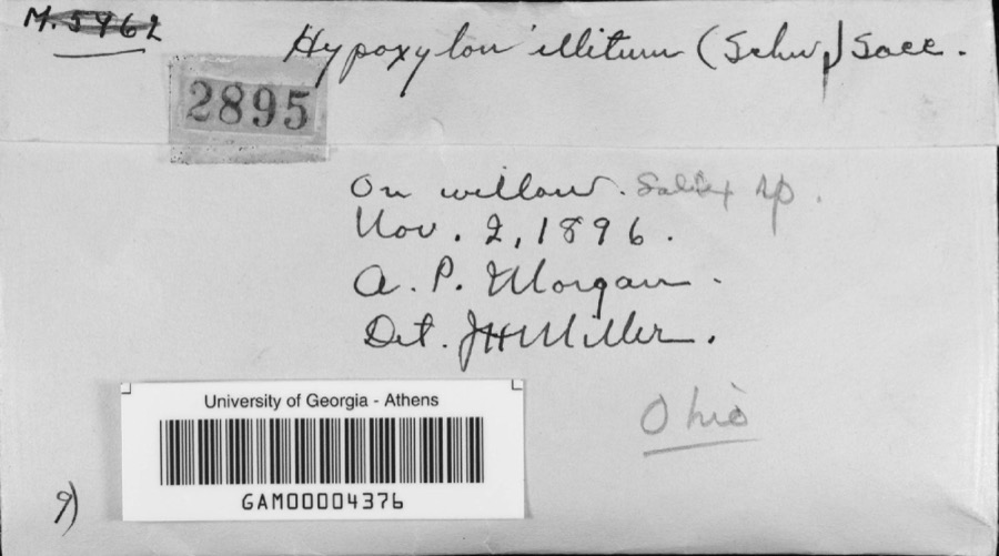
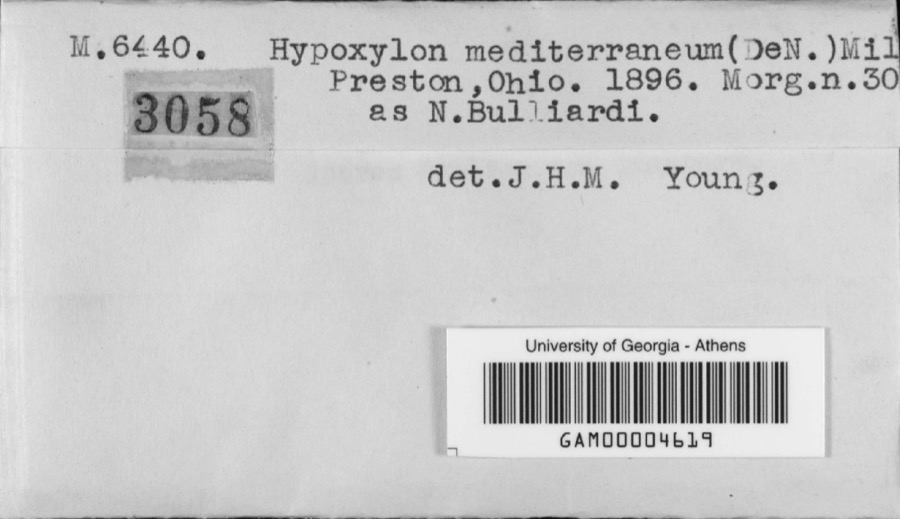
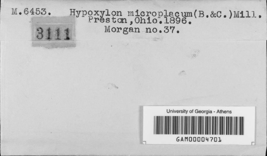
evidence. Museums hold 509 specimens
collected within 10 miles of Cook, John, Farm between 1875 and
1975: 469 Animalia, 24 Fungi, 15 Plantae, 1 Unrecorded. 12 distinct Species records are shown.
Collected by A C Whitney, A S BRADSHAW, A. P. Morgan and others. Each is a
physical object with a catalogue
number, and each entry opens the museum's record. This is what was
collected and kept, not a survey of what lives here - nothing can be
concluded from a species being absent.
Regional context, not property-specific
evidence. The National Weather Service names
Harlem, the town this property stands in, in 8 storm reports between 2000 and 2024: 5 thunderstorm wind, 2 tornado, 1 flood.
The reports record 2 injuries. Each account below is quoted exactly as the forecast office
filed it, from the NOAA Storm Events Database, and each date
opens the federal record of that event.
A tornado touched down in the southeastern part of the county, along Harlem road and then raced rapidly eastward to the Licking county line. Two high tension power line towers were bent over and 14 houses were either damaged or destroyed.
The tornado quickly developed and likely reached the maximum intensity near the intersection of Fancher Road and State Route 605 South causing damage to a residence on the south side of Fancher Road. Multiple homes on the south side of Fancher Road had damage including blown out windows, garage door failures, and moderate roof material loss.||The tornado weakened as it crossed Fancher Road near Hatch Road and Kean Road, causing damage to trees in the area. The last known damage was found north of Fancher Road where an outbuilding lost most of its metal panels.
No historic map-sheet match is published
for this property yet. That does not mean no map exists. This record needs
a coordinate-quality review before it can be joined to a sheet boundary.
Browse the county's mapped places while that work is
pending.
From the nomination file
1,618 words on record
When this property was proposed for the
National Register, someone wrote the case for it: what the building is,
and why it matters. That document is a federal record in the public domain.
It is quoted below word for word, never summarised. The text was read off the scanned case file by machine, so the
occasional stray character is the recogniser's and the 1970s
typewriter's.
Description of the property
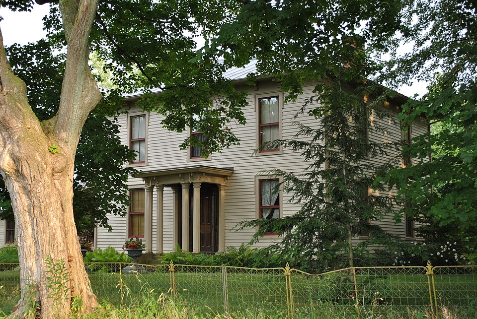
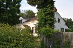
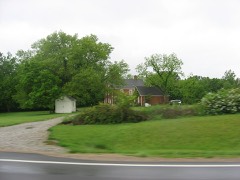
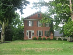
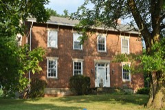
land, all that remains of a 600 acre Harlem Township farm which dates back to 1805. The two-story farmhouse, built in 1863 on a stone foundation, is nearly square in narrow, lapped siding. At the roofline there is a wide, plain frieze, carved brackets, and an overhanging cornice. The flattened hip roof, covered with standing seam metal, once had a deck which has been removed. There are two interior chimneys. on the second floor and one on the first floor, placed toward the facade. Attached to the "L" is a later, one-car garage. It is rectangular in shape and of the property is the original iron fence, gate, and hitching post. story, gable-roofed, frame barn.
The barn has weathered vertical siding, metal roof, CONDITION MOVED DETERIORATED EXCELLENT DATE UNALTERED XALTERED FAIR CHECK ONE entry porch.The porch has four, square columns across the front and two pilasters also dated 1863 and has a center entrance and a single chimney centrally placed had a gable roof.The rear elevation has three bays.The left and center bays o plan.The three-bay facade(north) hasa center entry protected bya flat-roofed East of the house is a small pond surrounded by trees. East of the pond is a 2-l/2 The Cook Farm consists of a large farmhouse and three frame barns on 40 acres of Windows across the rear of the house and "L' have been altered.Across the front Cook generations.
Each time the older parents, owners of the farm, lived in the and a foundation wall of stone. North of the pond, across the street, is another similar barn . This one has two small, shed-roofed additions on the east side. are double-hung, 2/2 lights with simple label moldings. The house is covered with the east is an attached, one-story, gable-roofed "L".
The John Cook Farm represents the remains of a once large, early Ohio farm in Harlem of the area into "bedroom communities" for the cities of Delaware, Westerville, and already been sold, but this 1860's house and three barns remain, tokens of early the land, including John (b.1819) who took over the farm after his father's death 353 acres and supported both dairy and beef cattle, sheep, hogs, and produced wheat, 1500-1599 1863 1600-1699 1400-1499 X1800-1899 ECONOMICS COMMUNICATIONS 1700-1799 RELIGION ARCHEOLOGY-HISTORIC PHILOSOPHY PERIOD LAW INVENTION ARCHITECTURE BUILDER/ARCHITECT TRANSPORTATION EDUCATION POLITICS/GOVERNMENT ART THEATER 1900- maintain them. SIGNIFICANCE MILITARY LITERATURE INDUSTRY XAGRICULTURE farming efforts in Harlem Township.
_CONSERVATION the land was divided 4 ways.Two daughters own the house and barns and wish to in 1839. -COMMERCE local history John Cook ENGINEERING The acreage on which the complex stands was purchased in 1805 by Benjamin Cook, Esq. _PREHISTORIC John Cook maintained a 573 acre farm and built the house in 1863.The barns were Harlem Township ata sheriff's auction after the original patentee failed to make of 16,000 acres was farmland.Today modern housing developments have turned much SCIENCE -MUSIC -COMMUNITY PLANNING Township, Delaware County. In the early to mid 1800's nearly the entire township for 42¢ acre. Benjamin (b. 1759), a native of Connecticut, bought 4,000 acres in also built by John, though earlier (dates unknown). John raised cattle and grains.
He married in 1853 and subsequently had 6 children. He died in the late 1880's and ARCHEOLOGY-PREHISTORIC for housing and recreation. Much of the original acreage of the Cook farm has permanent settler of Harlem Township.He had twelve children to help him with payment. He retained about 600 acres for his own use and resold the rest at his son, Herbert 187l) took over.Early in the 1900's the farm consisted of
Quoted from the National Register nomination
for reference 77001059, 14 pages, held by the National Archives in Record
Group 79. See the
catalogue record.
Listed places nearby
6 within 8 miles
Other National Register properties close
enough to walk or drive between, ordered by distance from this one. Both
positions come from the same geocoding pass that matched these properties
to their map sheets.
Listing record. National Park Service National Register of Historic Places, listed-properties dataset, current to 2026-05-22.
Map join. Address geocoded through the United States Census geocoder, then tested against the published boundary of every sheet in the USGS Historical Topographic Map Collection.
How this page is made. Listing fields come from federal records; map-sheet coverage is a labelled coordinate-to-boundary calculation, not a source-field claim.
Wildfire. Short, Karen C. 2022. Spatial wildfire occurrence data for the United States, 1992-2020 [FPA_FOD_20221014]. 6th Edition. Fort Collins, CO: Forest Service Research Data Archive. https://doi.org/10.2737/RDS-2013-0009.6 Collected with United States Government funding and usable without additional permissions or fees.
Specimens. Global Biodiversity Information Facility (GBIF), https://www.gbif.org/. Only records licensed CC0 or CC BY are used. Records licensed CC BY-NC are excluded because this site carries advertising. Images are checked individually and any whose licence is non-commercial, no-derivatives or unreadable is refused.
Storms. NOAA National Centers for Environmental Information, Storm Events Database https://www.ncei.noaa.gov/stormevents/ A work of the United States government, no copyright under 17 U.S.C. 105. Narratives are quoted verbatim from the National Weather Service report and are not edited or summarised.
 Block
Block