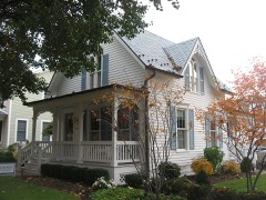
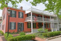
Listed on the National Register of Historic Places in
1982. A historic map-sheet match is not published yet. The record needs a coordinate-quality review before it can be joined to a sheet boundary.
From the record
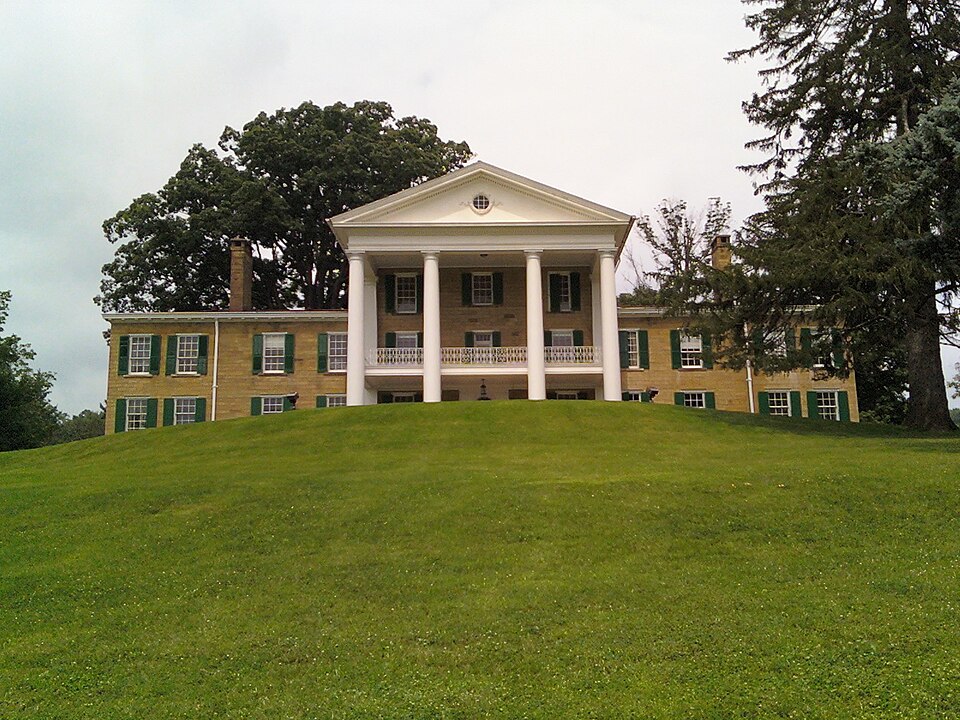
“Bryn Du Mansion is a historic house in Granville, a village in Licking County, Ohio, United States. The estate is owned by the village and is on the National Register of Historic Places.”
Wikipedia article Bryn Du Mansion, CC BY-SA 4.0.
one of 52 National Register listings in Licking County · listed in 1982 · category: Building.
National Register reference number.82003602- the number the National Park Service assigned this property when it was listed, and the key its nomination file is catalogued under at the National Archives.
The township was organized in 1807, out of the west half of Licking township, Fairfield county. The latter township then embraced all of what is now Licking county, except the Refugee lands. This being cut in two in the center, the west half was named Granville, and was, therefore, the second township organized in this territory.
The works of the Mound Builders in this township are very numerous and interesting; indeed, in number and varied character are scarcely excelled by those of Newark township. The Raccoon valley and contiguous territory constitute, probably, the most interesting territory in the State, or even in the United States for the antiquarian. Mounds of different sizes and heights, earthworks of every kind known to the historian exist here in great numbers. Numbers yet to be seen and traced may almost be counted by the hundred, while many, very many, have disappeared entirely, by the ravages of time and the plow, and live only in the memory of the oldest inhabitants. No particular care seems to be taken to preserve these mounds and works. Wherever they are in the way of the tiller of the soil, they are ruthlessly plowed down or dug away. They are disappearing with comparative rapidity, and very soon, with few exceptions, will live only in history. Occcasionally they are erected upon high peaks, or places inaccessible to the plow and cultivator, and in such places are, of course, in the best state of preservation. The traveler between Newark and Granville will observe many of these mounds, a few yet pretty well preserved, even on the extensive and rich bottoms of the Raccoon; but the better preserved works, and those probably the most interesting, are located upon the hills that shut in the valley. Captain M. M. Munson, who occupies a beautiful farm in the midst of these mounds, and who has made them something of a study, is confident that around the great Aligator mound, located not far from his house, is a complete system of mounds and earthworks that point to it as a common center. However this may be, there is certainly a large circle of works in this vicinity, extending several miles in every direction, and seemingly connected with each other and with the "Old Fort" near Newark and its contiguous works.
Regional context, not property-specific
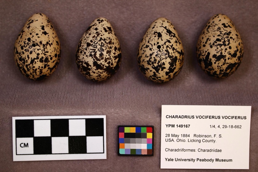
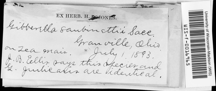
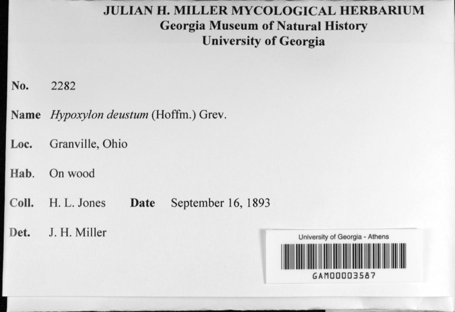
evidence. Museums hold 2,297 specimens
collected within 10 miles of McCune's Villa between 1853 and
1975: 2,065 Animalia, 186 Fungi, 26 Protozoa, 17 Plantae, 3 Chromista. 12 distinct Species records are shown.
Collected by A. P. M., A. P. Morgan, A. R. Elliott and others. Each is a
physical object with a catalogue
number, and each entry opens the museum's record. This is what was
collected and kept, not a survey of what lives here - nothing can be
concluded from a species being absent.
Regional context, not property-specific
evidence. The federal mineral resources record lists
5 workings within 5 miles of McCune's Villa: 2 producers, 2 plants, 1 past producer.
4 still produce. What was taken out: Sand and Gravel, Construction. Distance is straight-line from the
map coordinates, so a quarry counted here may appear on a neighbouring
settlement's page as well.
Regional context, not property-specific
evidence. The National Weather Service names
Granville, the town this property stands in, in 32 storm reports between 1995 and 2026: 26 thunderstorm wind, 3 hail, 2 flash flood, 1 heavy rain.
No death or injury is recorded in these reports. Each account below is quoted exactly as the forecast office
filed it, from the NOAA Storm Events Database, and each date
opens the federal record of that event.
Heavy rainfall caused flash flooding in the area. There were numerous reports of water flowing over roads in Union Township, Hebron, and the Buckeye Lake area. One woman was trapped in a car due to high water.
No historic map-sheet match is published
for this property yet. That does not mean no map exists. This record needs
a coordinate-quality review before it can be joined to a sheet boundary.
Browse the county's mapped places while that work is
pending.
From the nomination file
13,659 words on record
When this property was proposed for the
National Register, someone wrote the case for it: what the building is,
and why it matters. That document is a federal record in the public domain.
It is quoted below word for word, never summarised. The text was read off the scanned case file by machine, so the
occasional stray character is the recogniser's and the 1970s
typewriter's.
Description of the property
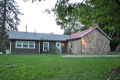
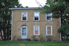
The power house is a stone 1% story structure which is square in plan.The hipped and symmetrical two story flanking wings of the Italian Villa with the addition which are double hung s/6are typical of the Georgian Revival style.The interior --good _ deteriorated . unaltered The Georgian Revivial in its present form maintains the three story central bay 9 over 9 windows. The stone chimney rises out of the center of the roofline. date The numerous outbuildings contribute The dairy and horse barns are enormous wood frame structures.Interesting features The impressive complex is located in Granville Township in the The garage is similar in design to the power house.It is constructed of stone with and horse barn.
1865 in the Italian Villa style.The light buff sandstone of the original of stone with a hip roof.A stone chimney is located in the.center of the roofline. decorating the ridgeline of the gable roofs.T 8.
Statement of significance
(in one paragraph) Second, the house was remodeled and the complex expanded by John S. Jones, who rose from a railroad brakeman to an owner of mines, director of banks, the founder of the city of Naples, Florida and an extremely important Granville citizen. The to Cherry Valley Road on the east, giving him a holding of approximately 1½ miles construction of an 18 hole golf course and retained the remainder of the land as a large dairy and cattle farm.
1700-1799 1600-1699 humanitarian engineering 1400-1499 literature theater exploration/settlement archeology-prehistoric Builder/Architect music transportation agriculture law The remaining lands from the Jones farm provide an impressive visual setting for the Period 1500-1599 .communications Specific dates which furnishes an attractive grassy backdrop for the farm.The nominated property interested in its preservation. boundaries are drawn to include these important visual elements of the farm's from 1908-1920,Jones purchased lands from Jones Road to Clear Run in the west and The estate was sold at a public sale in 1976.The present owners are extremely property remained in the Jones family until recently.
families until it was purchased by John Sutphin Jones in 19o5.During the years Granville area and.the additional outbuildings make this estate one of the most of the complex is an excellent interpretation of early 2oth century tastes which _military Villa to a Georgian Revival mansion is a tribute to the expertise of Frank Packard. X_1800-1899 In 1865 he built the imposing sandstone villa which was sold within a year to Jonas -science _social _ religion _ architecture have been skillfully handled by Frank Packard who was an important Ohio architect. impressive in Central Ohio. from east to west.
Quoted from the National Register nomination
for reference 82003602, 56 pages, held by the National Archives in Record
Group 79. See the
catalogue record.
Listed places nearby
6 within 8 miles
Other National Register properties close
enough to walk or drive between, ordered by distance from this one. Both
positions come from the same geocoding pass that matched these properties
to their map sheets.
Listing record. National Park Service National Register of Historic Places, listed-properties dataset, current to 2026-05-22.
Map join. Address geocoded through the United States Census geocoder, then tested against the published boundary of every sheet in the USGS Historical Topographic Map Collection.
How this page is made. Listing fields come from federal records; map-sheet coverage is a labelled coordinate-to-boundary calculation, not a source-field claim.
Specimens. Global Biodiversity Information Facility (GBIF), https://www.gbif.org/. Only records licensed CC0 or CC BY are used. Records licensed CC BY-NC are excluded because this site carries advertising. Images are checked individually and any whose licence is non-commercial, no-derivatives or unreadable is refused.
Mines and quarries. USGS Mineral Resources Data System (MRDS) https://mrdata.usgs.gov/mrds/ A work of the United States government, no copyright under 17 U.S.C. 105.
Storms. NOAA National Centers for Environmental Information, Storm Events Database https://www.ncei.noaa.gov/stormevents/ A work of the United States government, no copyright under 17 U.S.C. 105. Narratives are quoted verbatim from the National Weather Service report and are not edited or summarised.
 Block
Block