Listed on the National Register of Historic Places in
1982. A historic map-sheet match is not published yet. The record needs a coordinate-quality review before it can be joined to a sheet boundary.
From the record
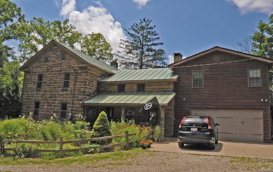
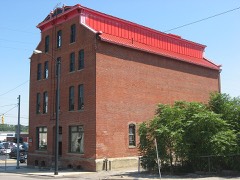
“Samuel Lewis House in Mansfield, Ohio is a Greek Revival building. It was listed on the National Register of Historic Places in 1982.”
Wikipedia article Samuel Lewis House (Mansfield, Ohio), CC BY-SA 4.0.
one of 61 National Register listings in Richland County · listed in 1982 · category: Building.
National Register reference number.82003636- the number the National Park Service assigned this property when it was listed, and the key its nomination file is catalogued under at the National Archives.
The ground it stands on
9,672 words
The chapter on Madison Township in History of Richland County Ohio, published 1908 names Mansfield. This is what it says, exactly as the scans read.
The first white man. so far as is known, to traverse the territory now known as Richland county. was James Smith, a voung man who was captured by the Indians in Pennsylvania in 1755, and was adopted into one of their tribes. Smith. in company with his foster brother, Tontileango, passed a number of hunting seasons in these parts. Next, Major Rogers and his rangers passed through where Mansfield now stands, when passing to and fro between Gnadenhutten and Wyandot.
Samuel Martin was the first settler at the Mansfield site. He was from New Lisbon, Columbiana county, and was somewhat of an adventurer, who. following the course of the pioneers westward, heard of the new town that was to be, halted here, put up a cabin, and prepared to board the party of surveyors who were coming to lay out a town. Martin. however. got into trouble by selling whisky to the Indians, and had to leave the country. He was succeeded by Captain James Cunningham, who thereby became the first bonafide resident in the place. This was in 1809.
Regional context, not property-specific
evidence. The
federal wildfire occurrence database
lists 3 fires within 5 miles of Lewis, Samuel, House between
2003 and 2018, burning about 3 acres in total. None started naturally. None was recorded as arson.
Distance is straight-line from the map coordinates, so a fire counted
here may appear on a neighbouring settlement's page as well.
Reported cause
Fires
Debris and open burning
3
The most recent of
them, most recent first, with the day each was reported and the service
that recorded it.
Regional context, not property-specific
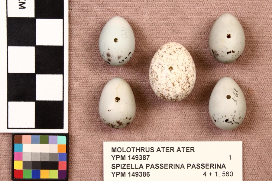
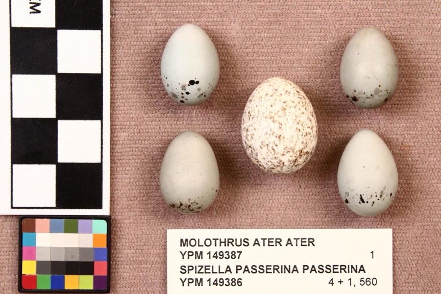
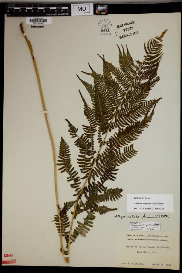
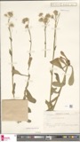
evidence. Museums hold 724 specimens
collected within 10 miles of Lewis, Samuel, House between 1835 and
1975: 491 Plantae, 223 Animalia, 10 Fungi. 12 distinct Species records are shown.
Collected by Berra, T. (Tim), C F WALKER, Chase, H. (Hazel) and others. Each is a
physical object with a catalogue
number, and each entry opens the museum's record. This is what was
collected and kept, not a survey of what lives here - nothing can be
concluded from a species being absent.
Regional context, not property-specific
evidence. The federal mineral resources record lists
2 workings within 5 miles of Lewis, Samuel, House: 2 producers.
All of them still produce. What was taken out: Iron, Clay, Stone, Crushed/Broken. Distance is straight-line from the
map coordinates, so a quarry counted here may appear on a neighbouring
settlement's page as well.
Regional context, not property-specific
evidence. The National Weather Service names
Mansfield, the town this property stands in, in 108 storm reports between 1994 and 2026: 54 thunderstorm wind, 43 hail, 7 flash flood, 2 tornado.
No death or injury is recorded in these reports. Each account below is quoted exactly as the forecast office
filed it, from the NOAA Storm Events Database, and each date
opens the federal record of that event.
Thunderstorms dumped one to three inches of rain on portions of Richland County in a short period of time. Three inches of rain was measured by spotters in Mansfield in less than two hours. Widespread urban and lowland flooding occurred across the county with the Mansfield and Ontario areas most severely affected. Water eight feet deep was reported in an underpass on the east side of Mansfield with up to three feet of water on many other area roads. Several vehicles were stranded in the flood waters. In Mansfield, a basement wall collapsed causing extensive damage to a home. Several hundred other homes in the county experienced basement flooding.
Thunderstorms dumped two to three inches of rain on Mansfield during the evening hours. Widespread street and lowland flooding occurred as several streams and creeks left their banks. A library had to be evacuated due to flooding in a ground level lobby and parking garage. Several streets in the downtown area flooded stranding many vehicles. Several people had to be rescued from their vehicles. Water up to eight feet deep was reported in an underpass just east of downtown.
Thunderstorm winds tore sections of roofing off of two large buildings and downed many trees on the northwest side of Mansfield. A windshield was also blown out of a car.
Thunderstorms winds estimated at 60 mph blew the roof off of a house along Kentucky Avenue on the north side of Mansfield. The roofs of two other homes were partially blown off.
An EF0 tornado touched down in rural Richland County about two miles north northwest of Lucas. The initial touchdown occurred near the intersection of Crimson and Mount Zion Roads. The tornado then continued southeast for around four tenths of a mile before dissipating. The damage path suggests that the tornado may not have been in constant contact with the ground. The damage path was no more than 20 yards in width. A barn was leveled by the tornado and two other buildings were damaged. Four cattle were injured by flying debris. Debris from the destroyed barn was found about three miles away from the location of the touchdown.
Thunderstorm winds estimated at 58 mph did considerable damage at a racetrack near Mansfield Lahm Airport. A 52 mph wind gust was recorded at the airport at 7:09 p.m. Two sections of temporary bleachers were toppled and destroyed.
Power pole fell onto a delivery truck about two-miles southwest of Mansfield. Farther downstream (i.e. about two-miles SSW of Mansfield), a large tree fell onto a house and punctured its roof.
A small tornado touched down east of Mansfield near State Route 430 in Mifflin Township. It remained on the ground for only a short time and downed numerous trees.
Thunderstorm winds knocked down a scoreboard at a baseball field located near the intersection of State Route 13 and U.S. Highway 30. Dugouts at the field also sustained minor damage.
No historic map-sheet match is published
for this property yet. That does not mean no map exists. This record needs
a coordinate-quality review before it can be joined to a sheet boundary.
Browse the county's mapped places while that work is
pending.
From the nomination file
3,172 words on record
When this property was proposed for the
National Register, someone wrote the case for it: what the building is,
and why it matters. That document is a federal record in the public domain.
It is quoted below word for word, never summarised. The text was read off the scanned case file by machine, so the
occasional stray character is the recogniser's and the 1970s
typewriter's.
Description of the property
bedroom with a low sloping ceiling is above. Natural finish black walnut is used throughout two panel doors throughout the house.
stone chimney on the west wall and a partial reconstruction of the cooking fireplace.Fire- house across an attractive narrow stone bridge flanked by two old iron lamp posts.The attrac- necting the two parts of the house and containing a broad open stairway which rises to the abutments on each side and a pipe-like passageway for the stream.Its total length does not entire length of the first floor in the main section is a large parlor having six windows and setting of the Lewis House and has had a number of alterations which have jeopardized its archi A similar two story Greek Revival stone house exists on the east side of Stewart Road, -fair tooling pattern on the blocks. This, along with the minor stylistic differences, suggests the two sections were built at different times.
Presumably the rear section, which features a massive primitive cooking fireplace, was the earlier portion. At the north end of the rear section 1s a low one story structure, built partially into an embankment out of rubble stone- a wooded ravine and a small stream. It faces south along a very early road, long since aban- The rear section differs from the main portion in that each window is surrounded by four This building is noteworthy for its fine woodwork and unusual floor plan. Spanning the The house islocated about 500 feet from North Stewart Road and is separated from it by jeopardy due to planned construction of a major sewer line along the west bank of the stream.
Plans for this sewer line have since been changed to re-route it along the right-of-way of unexposed evidence does not strongly suggest this.
(in one paragraph) interior decorations, such as wall stencils, are authentic to tre period of the house's built a blockhouse for protection of settlers curing the War of 1812. The following year Lewis cut six miles of the road from Mansfie d to Ashland out o- the dense forest. property was sold to Stephen Balliet, whose family continued to own this property until 1837 commerce from development. inventior Specific dates a route further south in the late nineteenth century has allcwec this house to remain free several owners during the next forty years until acquired in 19s3 by the present owners. miles from the center of a city of 55,0o0 prcvides a rare and complimentary rural setting. also was one of sandstone construction and its restored interior.
All of the woodwork is intact and the property for $2,000 to Samuel Lewis. Lewis -s significant as ore ofthe first settlers in this area, arrüving in 1809. He original y located in Worchington Township where ne The Samuel Lewis House is the largest and best preserved pre-Civil War sandstone house communications construction.The location of the Lewis House in a secluded grove only two and one half John C.Price bought this property in 820 which consiste:of the entire northeast economics Acreage of nominated property - L317,514,0,0 containing about ten acres, and having å single structure, the Samuel Lewis House.
- state (419) 755--011 - national t local I hereby certify that this property is included in the National Register county date Easting code Northing Zone Mansfield Ohio name/title Steven McQuillin. Regional Preservation Officer Quadrangle scale 1:24,000 organization The Ohio State University Mansfield Campus date 10.
Quoted from the National Register nomination
for reference 82003636, 15 pages, held by the National Archives in Record
Group 79. See the
catalogue record.
Listed places nearby
6 within 8 miles
Other National Register properties close
enough to walk or drive between, ordered by distance from this one. Both
positions come from the same geocoding pass that matched these properties
to their map sheets.
Listing record. National Park Service National Register of Historic Places, listed-properties dataset, current to 2026-05-22.
Map join. Address geocoded through the United States Census geocoder, then tested against the published boundary of every sheet in the USGS Historical Topographic Map Collection.
How this page is made. Listing fields come from federal records; map-sheet coverage is a labelled coordinate-to-boundary calculation, not a source-field claim.
Wildfire. Short, Karen C. 2022. Spatial wildfire occurrence data for the United States, 1992-2020 [FPA_FOD_20221014]. 6th Edition. Fort Collins, CO: Forest Service Research Data Archive. https://doi.org/10.2737/RDS-2013-0009.6 Collected with United States Government funding and usable without additional permissions or fees.
Specimens. Global Biodiversity Information Facility (GBIF), https://www.gbif.org/. Only records licensed CC0 or CC BY are used. Records licensed CC BY-NC are excluded because this site carries advertising. Images are checked individually and any whose licence is non-commercial, no-derivatives or unreadable is refused.
Mines and quarries. USGS Mineral Resources Data System (MRDS) https://mrdata.usgs.gov/mrds/ A work of the United States government, no copyright under 17 U.S.C. 105.
Storms. NOAA National Centers for Environmental Information, Storm Events Database https://www.ncei.noaa.gov/stormevents/ A work of the United States government, no copyright under 17 U.S.C. 105. Narratives are quoted verbatim from the National Weather Service report and are not edited or summarised.
 Block
Block