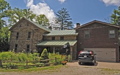
Listed on the National Register of Historic Places in
1982. A historic map-sheet match is not published yet. The record needs a coordinate-quality review before it can be joined to a sheet boundary.
From the record
“Abraham Baughman had been the first settler in the vicinity of Greentown, but during the war of 1812 removed to Monroe township and entered the southwest quarter of section 25, where he located and resided until his death, in January, 1821. Abraham Baughman and wife and three of their sons - Abraham, Jacob and George - are buried at Perrysville.”
History of Richland County Ohio (1908). Machine-read text.
one of 61 National Register listings in Richland County · listed in 1982 · category: Building.
National Register reference number.82003637- the number the National Park Service assigned this property when it was listed, and the key its nomination file is catalogued under at the National Archives.
The ground it stands on
16,273 words
The chapter on Monroe Township in History of Richland County Ohio, published 1908 names Perrysville. This is what it says, exactly as the scans read.
Abraham Baughman had been the first settler in the vicinity of Greentown, but during the war of 1812 removed to Monroe township and entered the southwest quarter of section 25, where he located and resided until his death, in January, 1821. Abraham Baughman and wife and three of their sons - Abraham, Jacob and George - are buried at Perrysville.
Regional context, not property-specific
evidence. The
federal wildfire occurrence database
lists 5 fires within 5 miles of Shambaugh, George, House between
2007 and 2018, burning about 4 acres in total. None started naturally. None was recorded as arson.
Distance is straight-line from the map coordinates, so a fire counted
here may appear on a neighbouring settlement's page as well.
Reported cause
Fires
Debris and open burning
3
Smoking
1
Recreation and ceremony
1
The most recent of
them, most recent first, with the day each was reported and the service
that recorded it.
Regional context, not property-specific
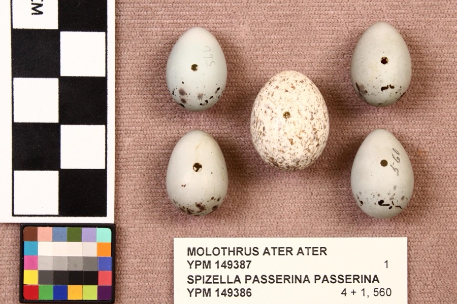
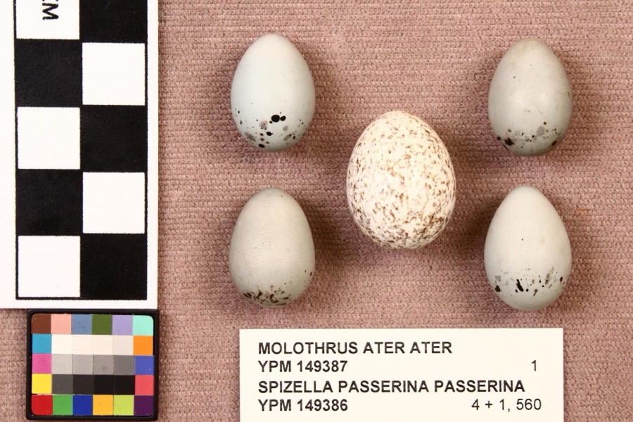
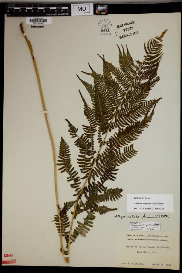
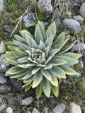
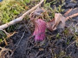
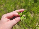
evidence. Museums hold 620 specimens
collected within 10 miles of Shambaugh, George, House between 1835 and
1972: 470 Plantae, 144 Animalia, 6 Fungi. 12 distinct Species records are shown.
Collected by Aknown, C F WALKER, Collector unspecified and others. Each is a
physical object with a catalogue
number, and each entry opens the museum's record. This is what was
collected and kept, not a survey of what lives here - nothing can be
concluded from a species being absent.
Regional context, not property-specific
evidence. The federal mineral resources record lists
5 workings within 5 miles of Shambaugh, George, House: 3 past producers, 1 plant, 1 producer.
2 still produce. What was taken out: Sand and Gravel, Construction. Distance is straight-line from the
map coordinates, so a quarry counted here may appear on a neighbouring
settlement's page as well.
No historic map-sheet match is published
for this property yet. That does not mean no map exists. This record needs
a coordinate-quality review before it can be joined to a sheet boundary.
Browse the county's mapped places while that work is
pending.
From the nomination file
1,325 words on record
When this property was proposed for the
National Register, someone wrote the case for it: what the building is,
and why it matters. That document is a federal record in the public domain.
It is quoted below word for word, never summarised. The text was read off the scanned case file by machine, so the
occasional stray character is the recogniser's and the 1970s
typewriter's.
Description of the property
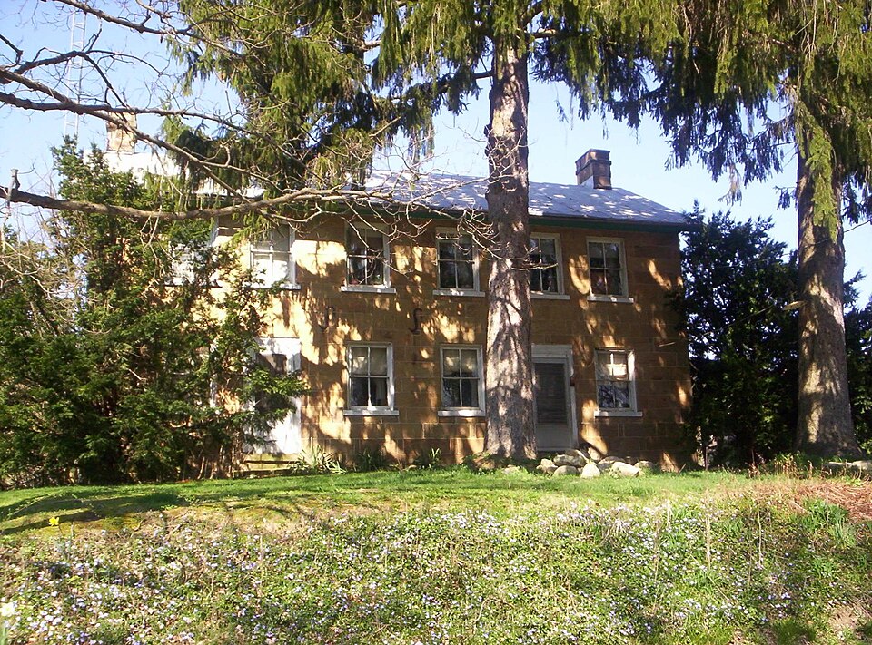
alternates broad and narrow slabs in a somewhat random pattern. The rear and east are Outbuildings on the property include a rather deteriorated barn which lies a few X good unexposed Large metal"s" braces are on the front of the building.The entrances are located on 8.
Statement of significance
(in one paragraph) Revival style architecture and while few original elements exist on the interior, it 1600-1699 1500-1599 1400-1499 communications 1700-1799 alterations. commerce conservation education industry transportation engineering philosophy Period humanitarian theater invention agriculture Builder/Architect music literature 1900- _economics law is noteworthy for its fine Queen Ann style detailing which has not had subsequent social/ George Shambaugh purchased this land in 1835 and soon thereafter erected this residence, other (specify) _sculpture Specific dates military It was later sold to Clark Lewis and for many years was the home of the Lewis family. _science - archeology-prehistoric - community planning landscape architecture.
_ religion The George Shambaugh House is a very rare pre Civil War stone building that survives organize an independent religious society which existed for a time in this area.Shambaugh give the building added distinction. The exterior is an excellent example of Greek the most distinguished farmhouse in this part of Richland County.He later gave part of his property to the township for use asa cemetery where he was buried.Shambaugh helped died in 1864 at the age of 70.In 1870 his heirs sold the 140 acre farm to James Jones. Andreas, A.T. Atlas Map of Richland County, Ohio, 8173, pp. 73,81. Cemetry records, research at the County Recorder's office and interviews with local residents.
UMT References Verbal boundary description and justification - _ state city or town The evaluated significance of this property within the state is: _ national _ local 665), I hereby nominate this property for inclusion in the National Register and certify that it has been evaluated according to the criteria and procedures set forth by the Heritage Conservation and Recreation Service.
Quoted from the National Register nomination
for reference 82003637, 10 pages, held by the National Archives in Record
Group 79. See the
catalogue record.
Listed places nearby
1 within 8 miles
Other National Register properties close
enough to walk or drive between, ordered by distance from this one. Both
positions come from the same geocoding pass that matched these properties
to their map sheets.
Listing record. National Park Service National Register of Historic Places, listed-properties dataset, current to 2026-05-22.
Map join. Address geocoded through the United States Census geocoder, then tested against the published boundary of every sheet in the USGS Historical Topographic Map Collection.
How this page is made. Listing fields come from federal records; map-sheet coverage is a labelled coordinate-to-boundary calculation, not a source-field claim.
Wildfire. Short, Karen C. 2022. Spatial wildfire occurrence data for the United States, 1992-2020 [FPA_FOD_20221014]. 6th Edition. Fort Collins, CO: Forest Service Research Data Archive. https://doi.org/10.2737/RDS-2013-0009.6 Collected with United States Government funding and usable without additional permissions or fees.
Specimens. Global Biodiversity Information Facility (GBIF), https://www.gbif.org/. Only records licensed CC0 or CC BY are used. Records licensed CC BY-NC are excluded because this site carries advertising. Images are checked individually and any whose licence is non-commercial, no-derivatives or unreadable is refused.
Mines and quarries. USGS Mineral Resources Data System (MRDS) https://mrdata.usgs.gov/mrds/ A work of the United States government, no copyright under 17 U.S.C. 105.
 Block
Block