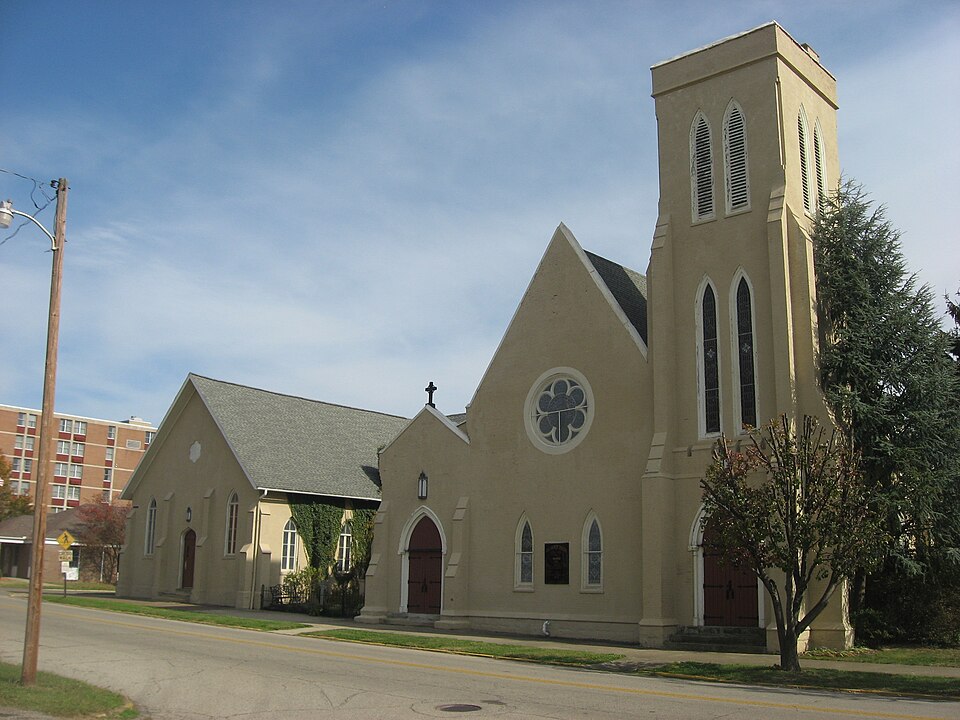
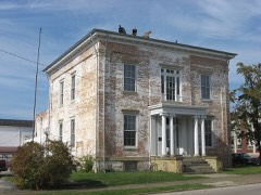
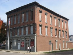
Built in 1833. Listed on the National Register of Historic Places in
1982. A historic map-sheet match is not published yet. The record needs a coordinate-quality review before it can be joined to a sheet boundary.
From the record
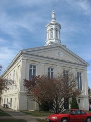
“All Saints Episcopal Church is a historic building in Portsmouth, Ohio. The church is a congregation of the Episcopal Diocese of Southern Ohio.”
Wikipedia article All Saints Episcopal Church (Portsmouth, Ohio), CC BY-SA 4.0.
one of 36 National Register listings in Scioto County · listed in 1982 · category: Building · built in 1833.
National Register reference number.82003639- the number the National Park Service assigned this property when it was listed, and the key its nomination file is catalogued under at the National Archives.
Portsmouth is situated on the Ohio river, 116 miles above Cincinnati, at the mouth of the Scioto river, which flows from the centre of this great State through valleys unequalled in fertility, and of such extent as to add largely to our National exports. It is also the southern terminus of the Ohio Canal, thus affording a direct water communication between the South and West, and North and East; also of the Hocking Valley Railroad, long since constructed, and the Scioto Valley Road, now being completed from Columbus to this city. It will also necessarily form an important point in the extension of the Chesapeake and Ohio Railroad, now completed from Norfolk, Virginia, to Huntington, West Virginia, on the Ohio river, forty-five miles above this city, in its connection with the Northwest, and its point of divergence to strike the Southern Pacific Railroad. It is also probable that, either by public or private means, the James River and Kanawha Canal will be completed at no distant day,, and Portsmouth will then be the central point of three great water lines to the sea, and, as we shall proceed to show, naturally and artificially, the best entrepot of the trade, of a large and rich district of country, as it now is.
While, as we have said, Portsmouth is one hundred and sixteen miles nearer than Cincinnati to the Atlantic seaports, the navigation of the river from New Orleans to the former is as good as to the latter, in all stages of water, while there is no important point above to which it is not obstructed by low water, or ice. None, in fact, approaching it in business or population, nearer than Wheeling, two hundred and seventy miles above,
Regional context, not property-specific
evidence. The
federal wildfire occurrence database
lists 132 fires within 5 miles of All Saints Episcopal Church between
1997 and 2020, burning about 4,779 acres in total. None started naturally. 24 were recorded as arson.
Distance is straight-line from the map coordinates, so a fire counted
here may appear on a neighbouring settlement's page as well.
Reported cause
Fires
Debris and open burning
64
Missing data/not specified/undetermined
35
Arson/incendiarism
24
Recreation and ceremony
6
Equipment and vehicle use
2
Smoking
1
The most recent of
them, most recent first, with the day each was reported and the service
that recorded it.
Regional context, not property-specific
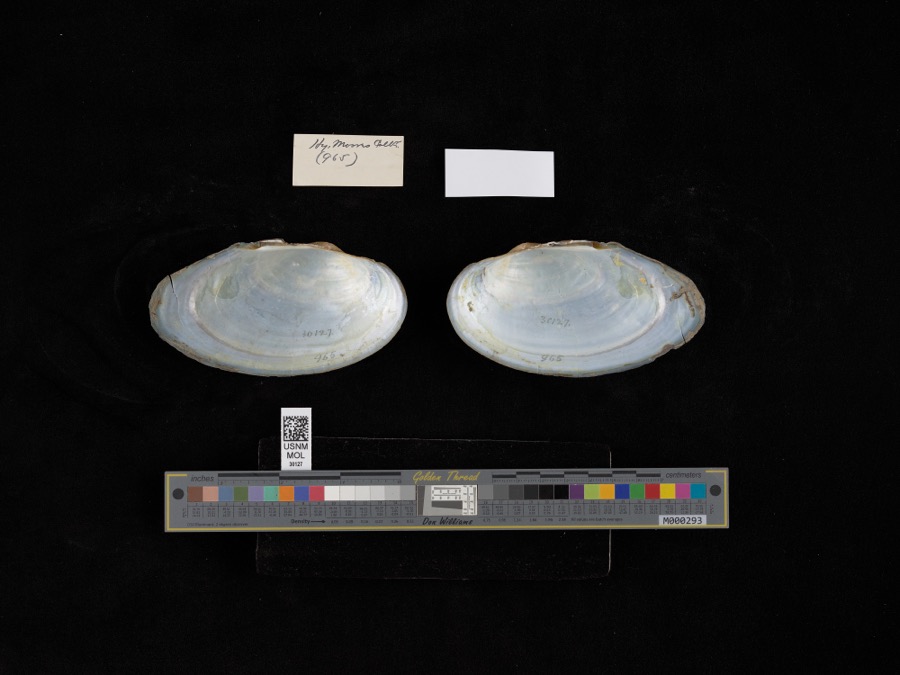
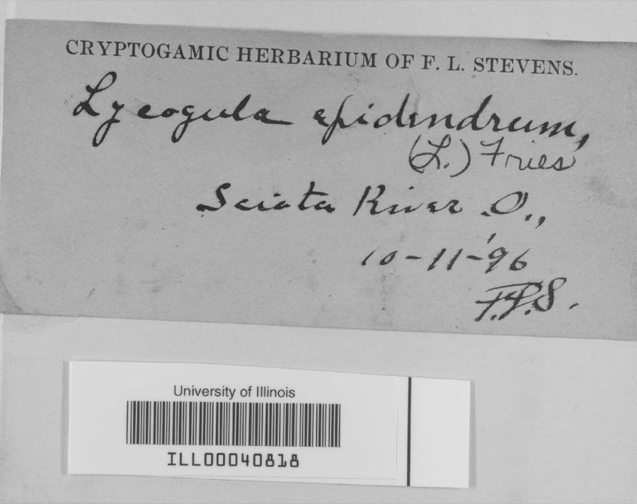
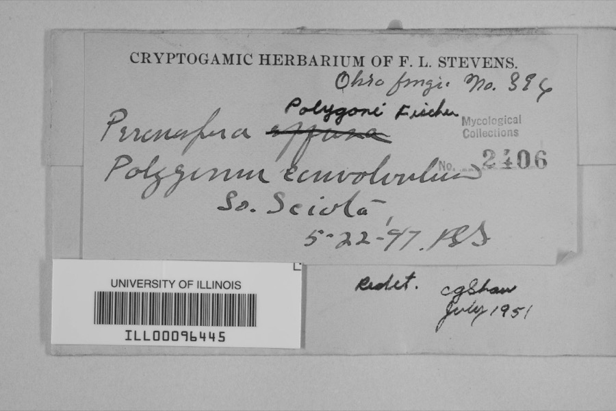
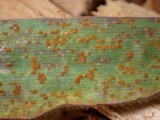
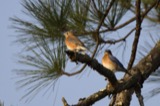
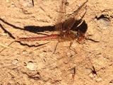
evidence. Museums hold 1,325 specimens
collected within 10 miles of All Saints Episcopal Church between 1884 and
1975: 1,206 Animalia, 69 Plantae, 43 Fungi, 4 Protozoa, 2 Unrecorded, 1 Chromista. 12 distinct Species records are shown.
Collected by ?, Ahles, H.E., Anson A. Hinkley and others. Each is a
physical object with a catalogue
number, and each entry opens the museum's record. This is what was
collected and kept, not a survey of what lives here - nothing can be
concluded from a species being absent.
Regional context, not property-specific
evidence. The federal mineral resources record lists
4 workings within 5 miles of All Saints Episcopal Church: 2 producers, 1 plant, 1 prospect.
3 still produce. What was taken out: Clay, Iron, Stone, Crushed/Broken. Distance is straight-line from the
map coordinates, so a quarry counted here may appear on a neighbouring
settlement's page as well.
Regional context, not property-specific
evidence. The National Weather Service names
Portsmouth, the town this property stands in, in 98 storm reports between 1995 and 2024: 44 thunderstorm wind, 27 hail, 14 flash flood, 12 flood.
No death or injury is recorded in these reports. Each account below is quoted exactly as the forecast office
filed it, from the NOAA Storm Events Database, and each date
opens the federal record of that event.
Numerous roads across the county were flooded and closed. Vehicles in Portsmouth were stranded in high water, and portions of Clay and Vernon Townships were also significantly affected by the flooding. A retaining wall collapsed next to a home in Rosemount.
1 paper published in this town,
digitised by the Library of Congress and free to read: 0 issues,
0 pages. Every page is searchable, so a name or a street can be
looked for directly in what the town printed about itself at the time.
No historic map-sheet match is published
for this property yet. That does not mean no map exists. This record needs
a coordinate-quality review before it can be joined to a sheet boundary.
Browse the county's mapped places while that work is
pending.
From the nomination file
2,521 words on record
When this property was proposed for the
National Register, someone wrote the case for it: what the building is,
and why it matters. That document is a federal record in the public domain.
It is quoted below word for word, never summarised. The text was read off the scanned case file by machine, so the
occasional stray character is the recogniser's and the 1970s
typewriter's.
Description of the property
church building erected in four sections,the earliest being 1833.The uring 52 feet by 86 feet is the nave culminating in the high altar. Check one facade of the main block is distinguished by a large wheel window.The and its activities expanded. It has a brick foundation, lancet arch windows and buttresses like the 1850 section, and small wheel windows on the two gables. Entryways on this section have a Tudor arch. The This building has multiple steeply pitched gabled roofs.Windows have The Guild Hall portion of the building was erected in two sections. lancet arches and are separated by buttresses.T The main section meas- structure is common bond brick and has a stone foundation. The roof is This section was built in 1850 and has a two story tower at the south- 8.
Statement of significance
(in one paragraph) _invention and use of material. 1850,a time when Greek Revival architecture for.large,.public buildings site in 1833. - archeology-prehistoric _ community planning - religion 1833 - tecture. It is an excellent example of Gothic Revival, and one of the (The Hillsboro Methodist Church, the Georgetown Pres- 1850.) Although other fine examples of Gothic Revival exist with in The parish, among the oldest Episcopal parishes west of the Alle- gheny Mountains, was first organized in 1819 and included such prominent landscape architecture local citizens as Thomas Waller and Aaron Kinney.The church itself has been a landmark within the neighborhood since it first began occupying the was in its heyday. Quadrangle name - Quadrangle scale 1:24000 L412B 18|8130/ _ state 11.
Quoted from the National Register nomination
for reference 82003639, 20 pages, held by the National Archives in Record
Group 79. See the
catalogue record.
Listed places nearby
6 within 8 miles
Other National Register properties close
enough to walk or drive between, ordered by distance from this one. Both
positions come from the same geocoding pass that matched these properties
to their map sheets.
Listing record. National Park Service National Register of Historic Places, listed-properties dataset, current to 2026-05-22.
Map join. Address geocoded through the United States Census geocoder, then tested against the published boundary of every sheet in the USGS Historical Topographic Map Collection.
How this page is made. Listing fields come from federal records; map-sheet coverage is a labelled coordinate-to-boundary calculation, not a source-field claim.
Wildfire. Short, Karen C. 2022. Spatial wildfire occurrence data for the United States, 1992-2020 [FPA_FOD_20221014]. 6th Edition. Fort Collins, CO: Forest Service Research Data Archive. https://doi.org/10.2737/RDS-2013-0009.6 Collected with United States Government funding and usable without additional permissions or fees.
Specimens. Global Biodiversity Information Facility (GBIF), https://www.gbif.org/. Only records licensed CC0 or CC BY are used. Records licensed CC BY-NC are excluded because this site carries advertising. Images are checked individually and any whose licence is non-commercial, no-derivatives or unreadable is refused.
Mines and quarries. USGS Mineral Resources Data System (MRDS) https://mrdata.usgs.gov/mrds/ A work of the United States government, no copyright under 17 U.S.C. 105.
Storms. NOAA National Centers for Environmental Information, Storm Events Database https://www.ncei.noaa.gov/stormevents/ A work of the United States government, no copyright under 17 U.S.C. 105. Narratives are quoted verbatim from the National Weather Service report and are not edited or summarised.
 Block
Block