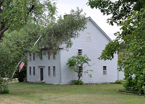
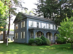
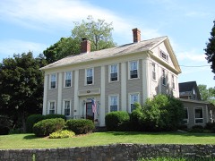
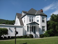
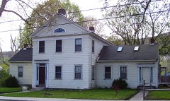
Built in 1770 in the Georgian architecture. Listed on the National Register of Historic Places in
1983. A historic map-sheet match is not published yet. The record needs a coordinate-quality review before it can be joined to a sheet boundary.
From the record
“Benjamin Simonds House is a historic house at 643 Simonds Road in Williamstown, Massachusetts. The colonial style wood-frame house was built in 1770 by Benjamin Simonds, a veteran of the French and Indian Wars, who was one of Williamstown's early settlers.”
Wikipedia article Col. Benjamin Simond House, CC BY-SA 4.0.
one of 94 National Register listings in Berkshire County · listed in 1983 · category: Building · built in 1770, Georgian architecture · one of 1 National Historic Landmarks in Berkshire County.
Architectural style. Georgian architecture, colonial architecture
National Register reference number.83000570- the number the National Park Service assigned this property when it was listed, and the key its nomination file is catalogued under at the National Archives.
The ground it stands on
43,408 words
The chapter on Williamstown Town in Origins in Williamstown, published 1894 names Williamstown. This is what it says, exactly as the scans read.
Hoosac, but also to attach his name iu a distinctive form, and for a definite reason, to a beautiful spot of earth sure to possess its loyal dalesmen till the end of time ; and so, there came out of his human longings and aspirations the right and vital word, - '' provided also, that the Governor and General Court give the said township the name of Williamstown."
They did. When the town was incorporated, ten years after this, that is to say, in July, 1765, the " West Township," dear to the Colonel's heart, became *' Williamstown," never to be changed. While the ColonePs motive in the name was doubtless strictly personal, and appropriately so, and while any such end of personal remembrance as lay in his mind has already been reached a thousandfold, and will be met in swelling volume till human memories shall fade out, the name of the Town and the College is also felicitous as helping worthily to perpetuate the memory of several other members of the Williams family who played well their part (though much subordinate to his), in the direct or indirect upbuilding of the Town and the College and the country. Let us briefly run over some of these services of the Williams family.
Regional context, not property-specific
evidence. The
federal wildfire occurrence database
lists 15 fires within 5 miles of Simond, Col. Benjamin, House between
2007 and 2018, burning about 281 acres in total. 2 started naturally. None was recorded as arson.
Distance is straight-line from the map coordinates, so a fire counted
here may appear on a neighbouring settlement's page as well.
Reported cause
Fires
Debris and open burning
6
Recreation and ceremony
3
Missing data/not specified/undetermined
2
Natural
2
Equipment and vehicle use
1
Smoking
1
The most recent of
them, most recent first, with the day each was reported and the service
that recorded it.
Regional context, not property-specific
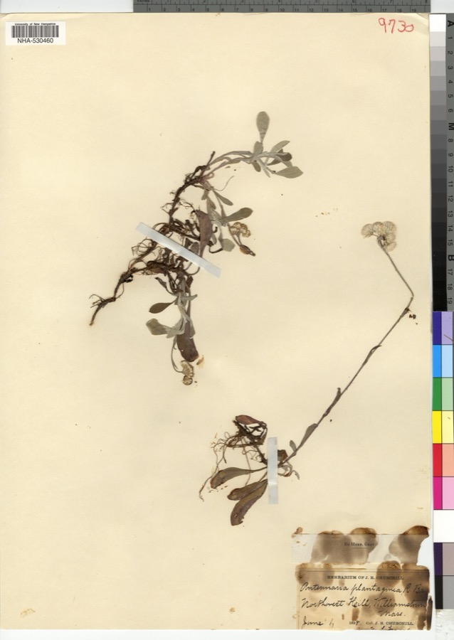
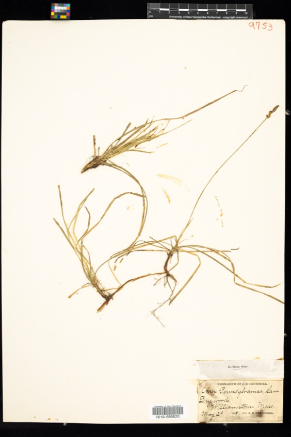
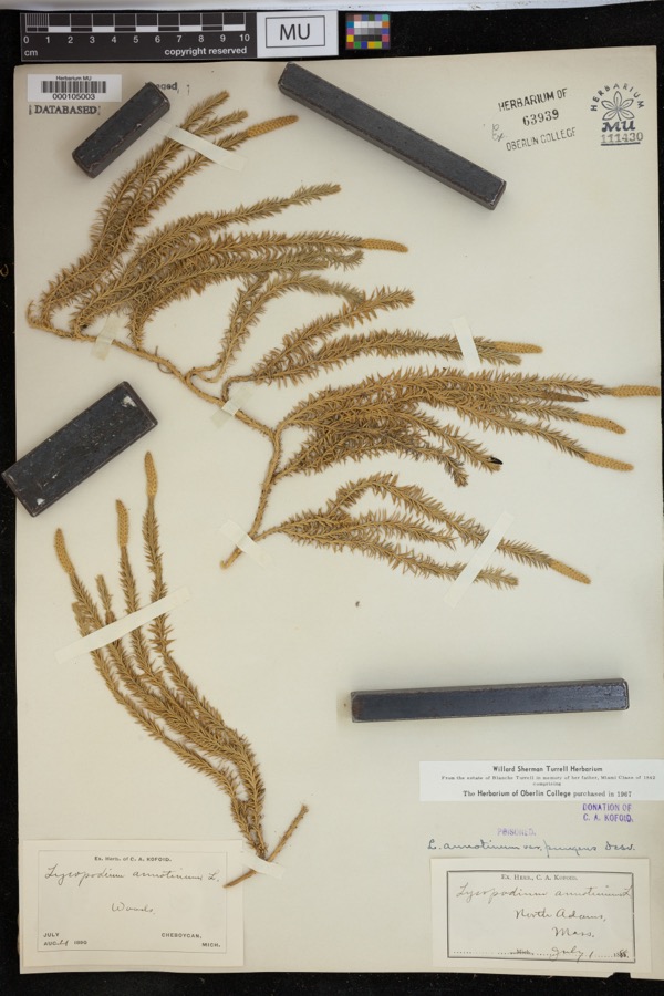
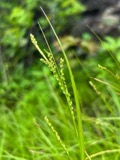
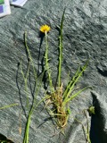
evidence. Museums hold 780 specimens
collected within 10 miles of Simond, Col. Benjamin, House between 1828 and
1975: 362 Plantae, 267 Animalia, 135 Fungi, 9 Protozoa, 6 Unrecorded, 1 Chromista. 12 distinct Species records are shown.
Collected by A K Harrison, A Schwartz, A. Cowee and others. Each is a
physical object with a catalogue
number, and each entry opens the museum's record. This is what was
collected and kept, not a survey of what lives here - nothing can be
concluded from a species being absent.
Regional context, not property-specific
evidence. The federal mineral resources record lists
2 workings within 5 miles of Simond, Col. Benjamin, House: 1 past producer, 1 producer.
1 still produces. What was taken out: Sand and Gravel, Construction. Distance is straight-line from the
map coordinates, so a quarry counted here may appear on a neighbouring
settlement's page as well.
Regional context, not property-specific
evidence. The National Weather Service names
Williamstown, the town this property stands in, in 20 storm reports between 1995 and 2024: 10 thunderstorm wind, 5 flash flood, 2 hail, 2 lightning.
No death or injury is recorded in these reports. Each account below is quoted exactly as the forecast office
filed it, from the NOAA Storm Events Database, and each date
opens the federal record of that event.
Lightning struck a barn at the Bonnie Lea Farm in Williamstown at approximately 1630 LST. The lightning then spewed from a circuit box, igniting a nearby bale of hay, which then spread through the barn.||In addition to significant structural damage to the barn, three to four thousand bales of hay, a horse trailer and equipment, and several all-terrain vehicles were also destroyed.||No injuries were reported.
A strong warm front and favourable wind shear aloft allowed for some thunderstorms to become strong to locally severe across Western Massachusetts late on the evening of July 29. Thunderstorms produced destructive wind gusts from Williamstown to Clarksburg in Berkshire county. Numerous power lines were knocked down resulting in the deployment of Massachusetts and Bell Atlantic workers.
A lightning strike downed a tree on Route 43 (Water Street) in Williamstown. The road was briefly closed as a result of the downed tree, which had to be removed. The local utility company reported 239 customers without power in the town.
Several culverts along Treadwell Hollow Road in Williamstown were reported to be damaged due to flash flooding. Two homes were without road access as a result of the flooding.
Heavy rainfall from training thunderstorms produced flash flooding near Williamstown. Seven to nine inches of flowing water was reported at the intersection of Route 7 and Bridges Road, as Broad Brook overflowed.
Numerous trees and wires were reported down in Williamstown due to strong thunderstorm winds. Some of the roads that had downed trees in Williamstown included Cold Spring Road, Bee Hill Road, Southworth Street, Green River Road, Belden Road, Oblong Road, John Street, Route 2, Park Street, Northwest Hill Road, and Arnold Street.||A vehicle in a Park Street driveway sustained damage when trees and wires fell from the strong thunderstorm winds.||In addition, a tree fell on Mission Park Drive on the Williams College campus.
No historic map-sheet match is published
for this property yet. That does not mean no map exists. This record needs
a coordinate-quality review before it can be joined to a sheet boundary.
Browse the county's mapped places while that work is
pending.
From the nomination file
2,197 words on record
When this property was proposed for the
National Register, someone wrote the case for it: what the building is,
and why it matters. That document is a federal record in the public domain.
It is quoted below word for word, never summarised. The text was read off the scanned case file by machine, so the
occasional stray character is the recogniser's and the 1970s
typewriter's.
Description of the property
The Colonel Benjamin Simond House is a substantial, yet simple, Georgian period farmhouse located 1½ miles north of Williamstown Center. The property contains slightly over 1½ acres of land and consists of the 18th century dwelling, and a late 19th century barn and milk house. Adjacent to the farm's southern boundary is the Boston and Maine Railroad, which dates from 1859, and the Hoosic River. The 2½ story, five bay, central chimney, clapboard structure is of timber frame construction with a single story shed attached to the rear. It stands on a foundation of dry laid limestone, marble and fieldstone. Although the dwelling essentially retains its original 18th century form, alterations can be seen in the main entry and in the use of slate as a roof covering. Eoveriag.
Be been snn ena mat cale The principal, five-bay facade, which faces east, contains windows of 6/6 sash set in molded Irames. This elevation, spare in ornamentation, is highlighted by a center entry which was enhanced early in the 19th century with flanking Tuscan pilasters. Both the north and south elevations are identical in design and contain simple gable returns. Each is two bays deep with 6/6 windows placed symmetrically on the first and second floors. In addition, there is a single 4/4 window located at the attic level. Attached to the noithern portion of the rear facade is a simple two-bay, one-story gable roofed elì measuring approximately 20' by 40'. A simple recessed porch entry is located on the southern side of this extension.
The interior of the Colonel Simond House retains a considerable degree of original detailing. This is seen primarily in the front rooms which contain early built-in cupboards, wainscoting and chair rails.
/Architect Unknown Statement of Significance (in one paragraph) The Colonel Benjamin Simond House is significant as a fine example of rural New England Georgian architecture and as a symbol of the early development of Williamstown. It is one of three intact mid l8th century farmhouses still standing in town and is additionally important for its association with the original owner, who played a pivotal role in the community's early settlement and participated as a commanding officer in the Revolution at the Battle of Bennington and White Plains.
Retaining integrity of design, materials, workmanship, location and setting, the property meets criteria A, B, and C oI the National Register of Historic Born on February 13, 1726 in Ware, Massachusetts, Benjamin Simond enlisted as a sentry in the French and Indian War at Fort Shirley, and was transferred to Fort Massachusetts at East Hoosic. On August 26, 1746, 28 other soldiers, was taken captive and sent to Quebec. the spring of 1748, he returned to West Hoosic, now Williamstown, and In 1752 he constructed a house and tavern on the property, but by 1769 moved to the north side of the Hoosic River where he built the farmhouse and tavern now known as River Bend Farm.
One of the community's most prominent early citizens, Benjamin Simono was instrumental in developing the young town of Williamstown in the years preceding the Revolution and assisted in its incorporation in the develupion the Among his contributions to the community are the building of the block house in 1754, planning the town's first church in 1766, and helping to lay out a new burial ground adjacent to the church in 1766.
Quoted from the National Register nomination
for reference 83000570, 10 pages, held by the National Archives in Record
Group 79. See the
catalogue record.
Listed places nearby
6 within 8 miles
Other National Register properties close
enough to walk or drive between, ordered by distance from this one. Both
positions come from the same geocoding pass that matched these properties
to their map sheets.
Listing record. National Park Service National Register of Historic Places, listed-properties dataset, current to 2026-05-22.
Map join. Address geocoded through the United States Census geocoder, then tested against the published boundary of every sheet in the USGS Historical Topographic Map Collection.
How this page is made. Listing fields come from federal records; map-sheet coverage is a labelled coordinate-to-boundary calculation, not a source-field claim.
Wildfire. Short, Karen C. 2022. Spatial wildfire occurrence data for the United States, 1992-2020 [FPA_FOD_20221014]. 6th Edition. Fort Collins, CO: Forest Service Research Data Archive. https://doi.org/10.2737/RDS-2013-0009.6 Collected with United States Government funding and usable without additional permissions or fees.
Specimens. Global Biodiversity Information Facility (GBIF), https://www.gbif.org/. Only records licensed CC0 or CC BY are used. Records licensed CC BY-NC are excluded because this site carries advertising. Images are checked individually and any whose licence is non-commercial, no-derivatives or unreadable is refused.
Mines and quarries. USGS Mineral Resources Data System (MRDS) https://mrdata.usgs.gov/mrds/ A work of the United States government, no copyright under 17 U.S.C. 105.
Storms. NOAA National Centers for Environmental Information, Storm Events Database https://www.ncei.noaa.gov/stormevents/ A work of the United States government, no copyright under 17 U.S.C. 105. Narratives are quoted verbatim from the National Weather Service report and are not edited or summarised.
 Block
Block