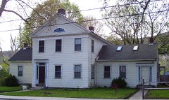
Listed on the National Register of Historic Places in
1986. A historic map-sheet match is not published yet. The record needs a coordinate-quality review before it can be joined to a sheet boundary.
From the record
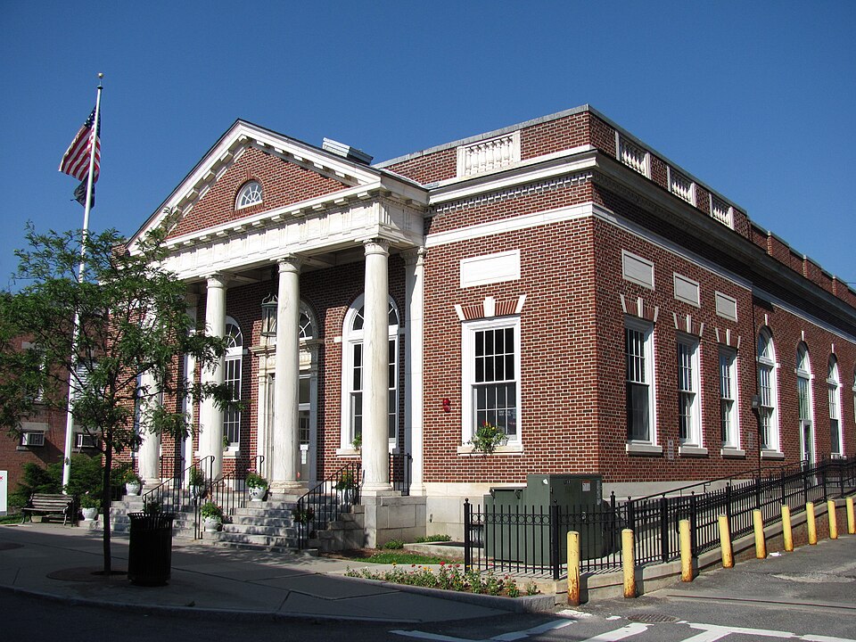
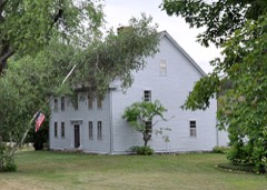
“US Post Office-Williamstown Main is a historic post office at 56 Spring Street in Williamstown, Massachusetts. Built in 1932, it is an architecturally significant local example of Classical Revival architecture.”
Wikipedia article United States Post Office-Williamstown Main, CC BY-SA 4.0.
one of 94 National Register listings in Berkshire County · listed in 1986 · category: Building · one of 1 National Historic Landmarks in Berkshire County.
National Register reference number.86002243- the number the National Park Service assigned this property when it was listed, and the key its nomination file is catalogued under at the National Archives.
The ground it stands on
43,408 words
The chapter on Williamstown Town in Origins in Williamstown, published 1894 names Williamstown. This is what it says, exactly as the scans read.
Hoosac, but also to attach his name iu a distinctive form, and for a definite reason, to a beautiful spot of earth sure to possess its loyal dalesmen till the end of time ; and so, there came out of his human longings and aspirations the right and vital word, - '' provided also, that the Governor and General Court give the said township the name of Williamstown."
They did. When the town was incorporated, ten years after this, that is to say, in July, 1765, the " West Township," dear to the Colonel's heart, became *' Williamstown," never to be changed. While the ColonePs motive in the name was doubtless strictly personal, and appropriately so, and while any such end of personal remembrance as lay in his mind has already been reached a thousandfold, and will be met in swelling volume till human memories shall fade out, the name of the Town and the College is also felicitous as helping worthily to perpetuate the memory of several other members of the Williams family who played well their part (though much subordinate to his), in the direct or indirect upbuilding of the Town and the College and the country. Let us briefly run over some of these services of the Williams family.
Regional context, not property-specific
evidence. The
federal wildfire occurrence database
lists 19 fires within 5 miles of US Post Office--Williamstown Main between
2007 and 2018, burning about 280 acres in total. 1 started naturally. None was recorded as arson.
Distance is straight-line from the map coordinates, so a fire counted
here may appear on a neighbouring settlement's page as well.
Reported cause
Fires
Debris and open burning
8
Recreation and ceremony
4
Smoking
3
Missing data/not specified/undetermined
2
Equipment and vehicle use
1
Natural
1
The most recent of
them, most recent first, with the day each was reported and the service
that recorded it.
Regional context, not property-specific
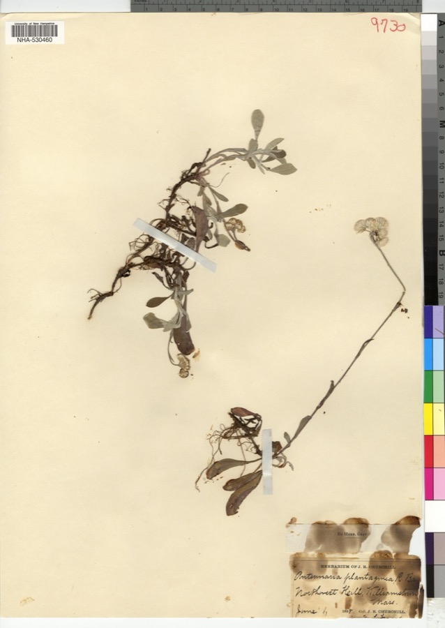
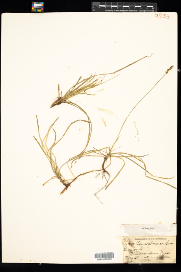
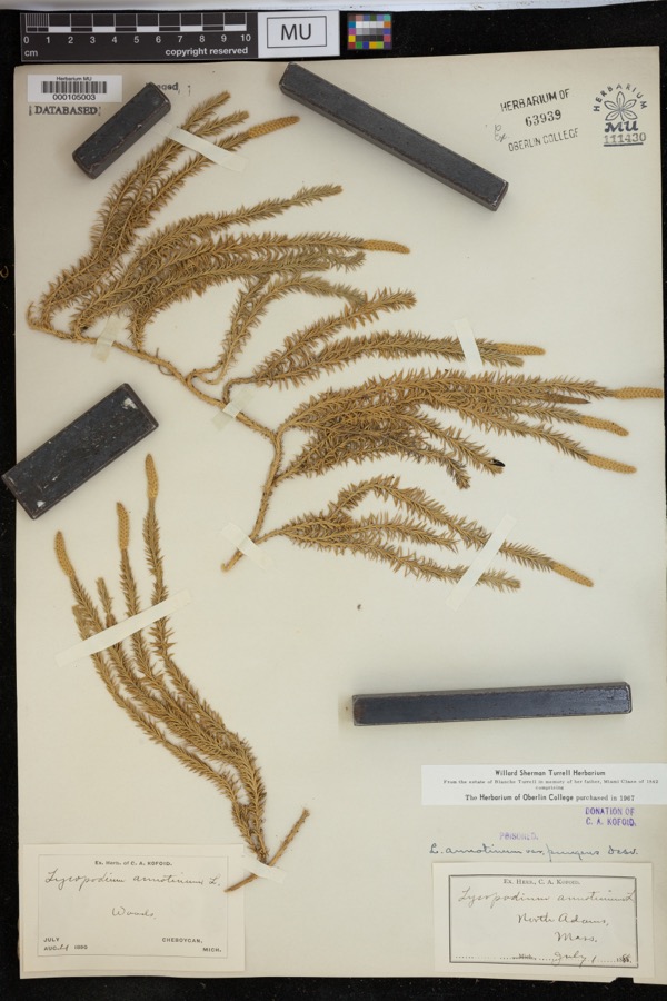
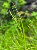
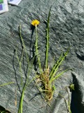
evidence. Museums hold 792 specimens
collected within 10 miles of US Post Office--Williamstown Main between 1828 and
1975: 370 Plantae, 270 Animalia, 136 Fungi, 9 Protozoa, 6 Unrecorded, 1 Chromista. 12 distinct Species records are shown.
Collected by A K Harrison, A Schwartz, A. Cowee and others. Each is a
physical object with a catalogue
number, and each entry opens the museum's record. This is what was
collected and kept, not a survey of what lives here - nothing can be
concluded from a species being absent.
Regional context, not property-specific
evidence. The federal mineral resources record lists
4 workings within 5 miles of US Post Office--Williamstown Main: 2 producers, 2 past producers.
2 still produce. What was taken out: Sand and Gravel, Construction, Limestone, General, Stone, Crushed/Broken. Distance is straight-line from the
map coordinates, so a quarry counted here may appear on a neighbouring
settlement's page as well.
Regional context, not property-specific
evidence. The National Weather Service names
Williamstown, the town this property stands in, in 20 storm reports between 1995 and 2024: 10 thunderstorm wind, 5 flash flood, 2 hail, 2 lightning.
No death or injury is recorded in these reports. Each account below is quoted exactly as the forecast office
filed it, from the NOAA Storm Events Database, and each date
opens the federal record of that event.
Lightning struck a barn at the Bonnie Lea Farm in Williamstown at approximately 1630 LST. The lightning then spewed from a circuit box, igniting a nearby bale of hay, which then spread through the barn.||In addition to significant structural damage to the barn, three to four thousand bales of hay, a horse trailer and equipment, and several all-terrain vehicles were also destroyed.||No injuries were reported.
A strong warm front and favourable wind shear aloft allowed for some thunderstorms to become strong to locally severe across Western Massachusetts late on the evening of July 29. Thunderstorms produced destructive wind gusts from Williamstown to Clarksburg in Berkshire county. Numerous power lines were knocked down resulting in the deployment of Massachusetts and Bell Atlantic workers.
A lightning strike downed a tree on Route 43 (Water Street) in Williamstown. The road was briefly closed as a result of the downed tree, which had to be removed. The local utility company reported 239 customers without power in the town.
Several culverts along Treadwell Hollow Road in Williamstown were reported to be damaged due to flash flooding. Two homes were without road access as a result of the flooding.
Heavy rainfall from training thunderstorms produced flash flooding near Williamstown. Seven to nine inches of flowing water was reported at the intersection of Route 7 and Bridges Road, as Broad Brook overflowed.
Numerous trees and wires were reported down in Williamstown due to strong thunderstorm winds. Some of the roads that had downed trees in Williamstown included Cold Spring Road, Bee Hill Road, Southworth Street, Green River Road, Belden Road, Oblong Road, John Street, Route 2, Park Street, Northwest Hill Road, and Arnold Street.||A vehicle in a Park Street driveway sustained damage when trees and wires fell from the strong thunderstorm winds.||In addition, a tree fell on Mission Park Drive on the Williams College campus.
No historic map-sheet match is published
for this property yet. That does not mean no map exists. This record needs
a coordinate-quality review before it can be joined to a sheet boundary.
Browse the county's mapped places while that work is
pending.
From the nomination file
2,423 words on record
When this property was proposed for the
National Register, someone wrote the case for it: what the building is,
and why it matters. That document is a federal record in the public domain.
It is quoted below word for word, never summarised. The text was read off the scanned case file by machine, so the
occasional stray character is the recogniser's and the 1970s
typewriter's.
Description of the property
The post office is located midway on Spring Street, a side street off the main street through town. Spring Street contains the conmercial and business section of town and is composed of two and three story structures which date from the mid to late 19th century. This section of town is in direct contrast to Main Street which is tree lined and handsomely landscaped. The buildings historically and architecturally noteworthy are set back from the road way and form a serene village scene. The post office is a brick structure of Flemish bond set on a granite base with a marble stringcourse. Broad granite steps with wrought iron railings lead to a pedimented portico of excellent detail.
Columns supporting the pediment are formed from a single piece of veined marble; marble is also used for window trim and the richly detailed entrance surround, the panels over the windows with a band above, molded cornice and ballustered sections over the windows in a brick parapet with a marble rail. The pedimented portico has an architrave of classic design which endows the building with an architectural importance. The lobby is in its orignial state except for the installation of a new glass and aluminum vestibule and entrance doors and fluorescent ceiling light fixtures. The floor is quarry tile laid in a pattern with marble feature strips and border. There is seven foot high grey veined marble wainscot with carved trim and flat entablature over the entrance to the postmaster's office.
Plain plaster walls above the wainscot terminate in an ornamental plastered border; a boldly detailed classical cornice enriches the space.
BUILDER/ARCHITECT - James A. Wetmore, Acting Supervising Architect Constructed during the early years of the depression when the building program of post offices was substantially increased, this building is unusual in the attention devoted to the treatment of the exterior. The abundance of architectural detail lavished on the facade of this facility which encompasses a standard plan elevates the building to a position of great importance in the community. Serving a college society of great diversity and the town in general, the Post Office becomes a common place of business and interaction on a day to day basis. It is fitting that this meeting place in a federal building; however, brief, be an experience of some significance.
In that the architectural quality of the entrance and potential worth of the lobby provide this need, this property is one of contributing importance.
Quoted from the National Register nomination
for reference 86002243, 19 pages, held by the National Archives in Record
Group 79. See the
catalogue record.
Listed places nearby
6 within 8 miles
Other National Register properties close
enough to walk or drive between, ordered by distance from this one. Both
positions come from the same geocoding pass that matched these properties
to their map sheets.
Listing record. National Park Service National Register of Historic Places, listed-properties dataset, current to 2026-05-22.
Map join. Address geocoded through the United States Census geocoder, then tested against the published boundary of every sheet in the USGS Historical Topographic Map Collection.
How this page is made. Listing fields come from federal records; map-sheet coverage is a labelled coordinate-to-boundary calculation, not a source-field claim.
Wildfire. Short, Karen C. 2022. Spatial wildfire occurrence data for the United States, 1992-2020 [FPA_FOD_20221014]. 6th Edition. Fort Collins, CO: Forest Service Research Data Archive. https://doi.org/10.2737/RDS-2013-0009.6 Collected with United States Government funding and usable without additional permissions or fees.
Specimens. Global Biodiversity Information Facility (GBIF), https://www.gbif.org/. Only records licensed CC0 or CC BY are used. Records licensed CC BY-NC are excluded because this site carries advertising. Images are checked individually and any whose licence is non-commercial, no-derivatives or unreadable is refused.
Mines and quarries. USGS Mineral Resources Data System (MRDS) https://mrdata.usgs.gov/mrds/ A work of the United States government, no copyright under 17 U.S.C. 105.
Storms. NOAA National Centers for Environmental Information, Storm Events Database https://www.ncei.noaa.gov/stormevents/ A work of the United States government, no copyright under 17 U.S.C. 105. Narratives are quoted verbatim from the National Weather Service report and are not edited or summarised.
 Block
Block