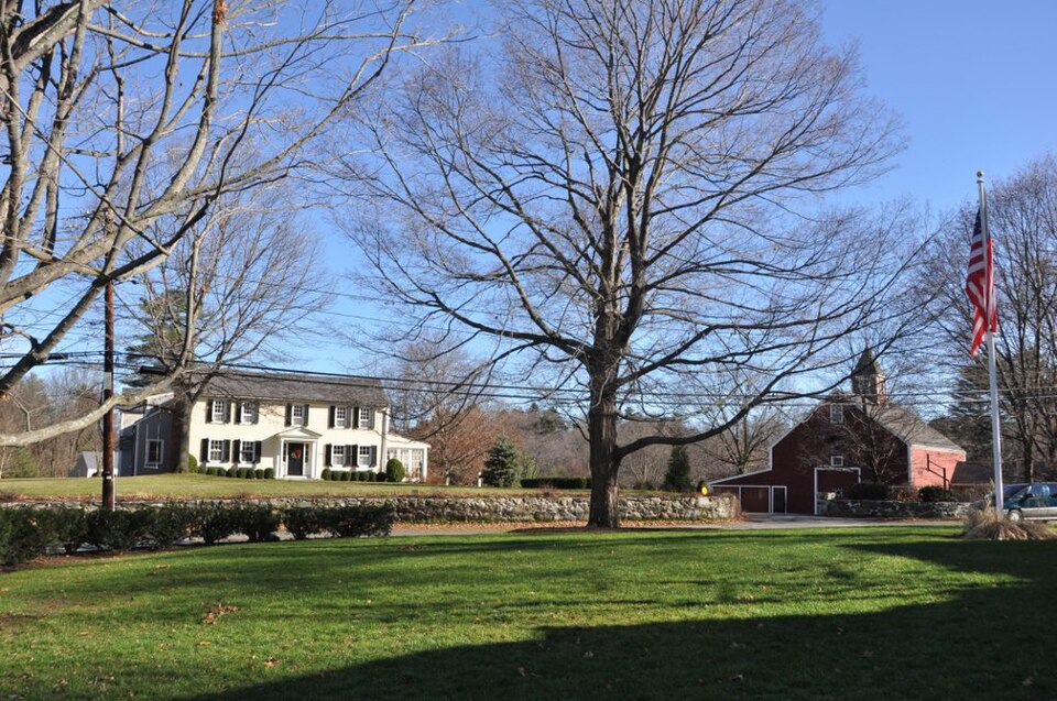
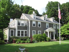
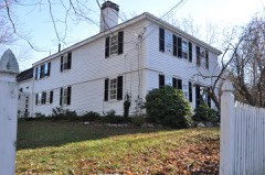
Built in 1754. Listed on the National Register of Historic Places in
1983. A historic map-sheet match is not published yet. The record needs a coordinate-quality review before it can be joined to a sheet boundary.
From the record
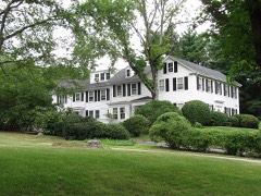
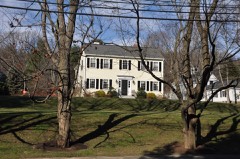
“The Amos Fuller House is a historic house located at 220 Nehoiden Street in Needham, Massachusetts. Built in 1754, possibly using parts of an older house, it is one of the town's older surviving structures, made further notable by several of its inhabitants.”
Wikipedia article Amos Fuller House, CC BY-SA 4.0.
one of 249 National Register listings in Norfolk County · listed in 1983 · category: Building · built in 1754 · one of 2 National Historic Landmarks in Norfolk County.
National Register reference number.83000596- the number the National Park Service assigned this property when it was listed, and the key its nomination file is catalogued under at the National Archives.
The Publishers desire to express their thanks to J. W. Lewis & Co., of Philadelphia, for permission to use their history of Norfolk County, also to C. C. Greenwood, Esq., and George K. Clarke, Esq., for their valuable assistance in preparing this historical sketch of Needham, and to all other citizens of Needham for the courtesy extended to them in their labor of canvassing, and for the patronage received for the work.
There are various papers, and certified copies of town records introduced to prove the Nehoiden transaction. On February 8, 1711/12, Needham appointed Jonathan Gay and Joseph Daniell to treat with Dedham as to the boundary, and on March 10 the mother town chose three men to appeal to the General Court to change the line In favor of Dedham, and the same day Needham selected Jeremiah Woodcock, Joseph Daniell and John Smith, Jr., to maintain that "the Longe Diche, a straite Line from Riuer to Riuer" should be the line. "Sargeant" John Fisher and Robert Cook were added to the committee and directed to answer the Dedham men before the General Court. On April 7 the same citizens, with the exception of Ebenezer Ware in place of Daniell, were chosen "to Come to a Loveng a Greement" with Dedham. The General Court ended the controversy by deciding in favor of the existing line.
Regional context, not property-specific
evidence. The
federal wildfire occurrence database
lists 134 fires within 5 miles of Fuller, Amos, House between
2003 and 2020, burning about 393 acres in total. None started naturally. None was recorded as arson.
Distance is straight-line from the map coordinates, so a fire counted
here may appear on a neighbouring settlement's page as well.
Reported cause
Fires
Recreation and ceremony
67
Missing data/not specified/undetermined
47
Smoking
9
Debris and open burning
6
Equipment and vehicle use
2
Power generation/transmission/distribution
2
Other causes
1
The most recent of
them, most recent first, with the day each was reported and the service
that recorded it.
Regional context, not property-specific
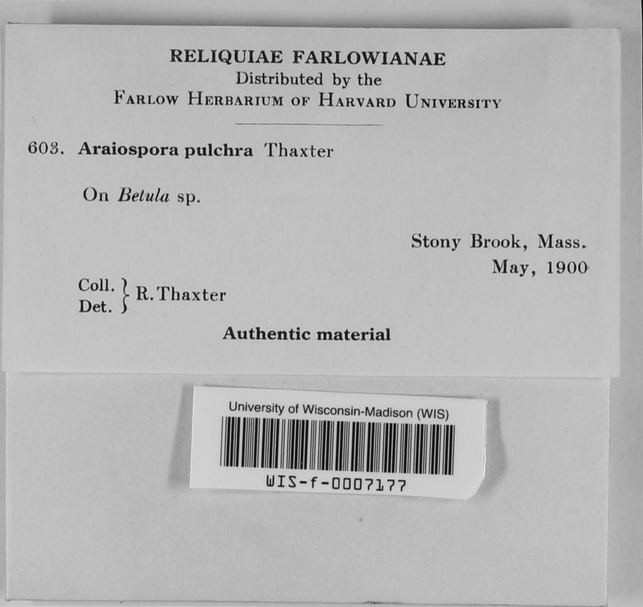
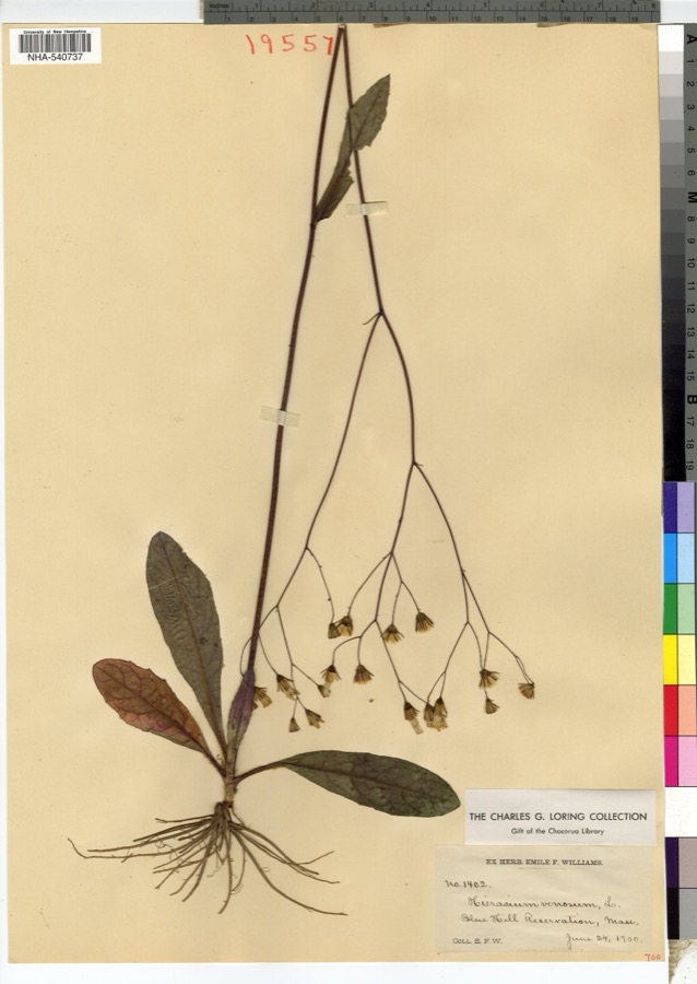
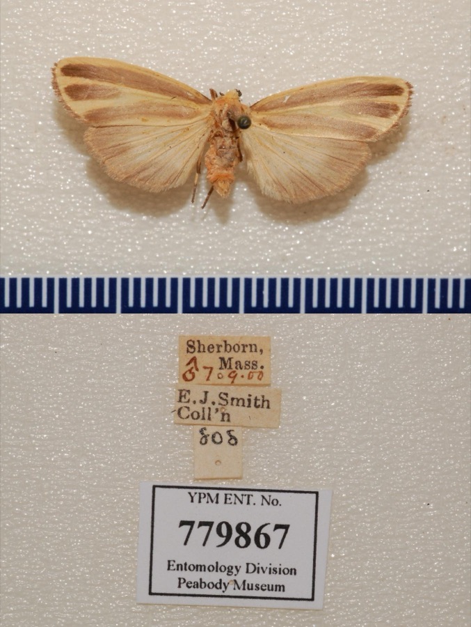
evidence. Museums hold 15,849 specimens
collected within 10 miles of Fuller, Amos, House between 1805 and
1975: 6,387 Animalia, 4,845 Plantae, 4,164 Fungi, 205 Protozoa, 169 Chromista, 47 Unrecorded, 32 Bacteria. 12 distinct Species records are shown.
Collected by ?, ? ex Herb. W.G. Farlow, A C Gibson and others. Each is a
physical object with a catalogue
number, and each entry opens the museum's record. This is what was
collected and kept, not a survey of what lives here - nothing can be
concluded from a species being absent.
Regional context, not property-specific
evidence. The federal mineral resources record lists
8 workings within 5 miles of Fuller, Amos, House: 6 past producers, 1 producer, 1 unknown.
1 still produces. What was taken out: Sand and Gravel, Construction, Stone, Stone, Crushed/Broken. Distance is straight-line from the
map coordinates, so a quarry counted here may appear on a neighbouring
settlement's page as well.
Regional context, not property-specific
evidence. The National Weather Service names
Needham, the town this property stands in, in 19 storm reports between 2000 and 2023: 8 thunderstorm wind, 5 hail, 4 flood, 2 lightning.
No death or injury is recorded in these reports. Each account below is quoted exactly as the forecast office
filed it, from the NOAA Storm Events Database, and each date
opens the federal record of that event.
Flooding reaching the tops of tires in Needham at the intersection of Great Plain Avenue and Ivy Road. The Canton Street railroad underpass in Sharon was flooded. A section of Village Street in Medway was flooded. The exit ramp from U.S. Route 1 near an auto dealership in Norwood was flooded; Dean Street in Norwood was flooded; two sections of University Avenue in Norwood were flooded. Oak Street at Park Street in Medfield was flooded. Albion Road at Cliff Road in Wellesley was flooded; State Route 9 near the Fire Department Headquarters was flooded.
No historic map-sheet match is published
for this property yet. That does not mean no map exists. This record needs
a coordinate-quality review before it can be joined to a sheet boundary.
Browse the county's mapped places while that work is
pending.
From the nomination file
2,047 words on record
When this property was proposed for the
National Register, someone wrote the case for it: what the building is,
and why it matters. That document is a federal record in the public domain.
It is quoted below word for word, never summarised. The text was read off the scanned case file by machine, so the
occasional stray character is the recogniser's and the 1970s
typewriter's.
Description of the property
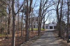
Thé mid-18th century character of the Amos Fuller House is greatly enhanced by its setting which includes a 19th century barn and outbuilding surrounded by 26 acres of woods and open fields. This nomination comprises only a portion of that land. However the total acreage as a green enclave encircled by and protected from Needham's suburban development enhances the character of the house. The house sits back approximately 100 feet on the es the eharnerer of the houso. the east side of Nehoiden Street; the barn is located a similar distance to the south, and the shed to the east. In its present sprawling configuration, the dwelling presents an organic and evolutionary architectural character as the result of alterations and additions through time.
Never- theless, the original compact leanto structure of 1754 remains apparent. block roof and integral additions; asphalt shingles the large rear ell. The original leanto portion stands 2½-stories tall on a mortared fieldstone foundation. Distinctive features. of the. symmetrical 5-bay facade include: a simple enclosed gabled entry porch; narrow cornice and corner boards; original 9/6 windows on the second story and later, wider 6/6 windows on the first story, all with projecting surrounds. The north and south gable ends also retain original 9/6 windows; the rear and ell elevations, later 6/6.
Although the interior was extensively rebuilt in the 19th century, principally as a resült of demolition of the central chimney c.1897, the original 5-room plan of the main portion is still apparent, and much original woodwork remains. Initial restoration work began in the 1830's when the property, then much deteriorated, was sold by the Fuller family. Äll ola portion of the large rear ell most likely'dates from this period. The remains of a chimney foundation with fireplace and beehive oven are visible in the ell basement!
/Architect Unknown Statement of Significance (in one paragraph) The Amos Fuller House retains integrity of location, design, materials, workmanship, setting, feeling and'association. Historical significance is derived from its association with important local figures of the 18th and 19th century; architectural significance from its standing as the best preserved example of its type and period in Needham. The property thus meets criteria A, B, C of the National Register of Historic Places. This house was built "on the road to the meetinghouse" in 1754 by Lt. Amos Fuller, a son of Thomas Fuller, Jr., one of the earliest settlers in the town and a descendant of settlers of the parent town, Dedham.
The house occupies the site of an earlier house built by his father, Thomas Fuller, and material from the earlier house may have been used in the present structüre. Lt. Amos Fuller lived in the house until his death in 1810: He served the town as selectman (1737-1769) and representative to the General Court (1756-1766). In 1830 the house was sold by Reuben Fuller, the son of Amos, to the Reverend Willlam Ritchie, the fourth minister of the parish; it was occupied by him until his death in 1842 and by his widow until 1852. The house had deteriorated during the occupancy of Reuben Fuller, and was extensively rebuilt and restored by the Reverend William Ritchie. The barn which adjoins the house is. of historical interest in its oun right because of Mr.
James M.' McCracken in the 1930's tends to confirm this date, although the barn is not specifically mentioned in town records until 1860. of forty acres, and the Newell family ownership is memorialized in Newell Avenue, which runs from the site of the present house to Great Plain Avenue.
Quoted from the National Register nomination
for reference 83000596, 9 pages, held by the National Archives in Record
Group 79. See the
catalogue record.
Listed places nearby
6 within 8 miles
Other National Register properties close
enough to walk or drive between, ordered by distance from this one. Both
positions come from the same geocoding pass that matched these properties
to their map sheets.
Listing record. National Park Service National Register of Historic Places, listed-properties dataset, current to 2026-05-22.
Map join. Address geocoded through the United States Census geocoder, then tested against the published boundary of every sheet in the USGS Historical Topographic Map Collection.
How this page is made. Listing fields come from federal records; map-sheet coverage is a labelled coordinate-to-boundary calculation, not a source-field claim.
Wildfire. Short, Karen C. 2022. Spatial wildfire occurrence data for the United States, 1992-2020 [FPA_FOD_20221014]. 6th Edition. Fort Collins, CO: Forest Service Research Data Archive. https://doi.org/10.2737/RDS-2013-0009.6 Collected with United States Government funding and usable without additional permissions or fees.
Specimens. Global Biodiversity Information Facility (GBIF), https://www.gbif.org/. Only records licensed CC0 or CC BY are used. Records licensed CC BY-NC are excluded because this site carries advertising. Images are checked individually and any whose licence is non-commercial, no-derivatives or unreadable is refused.
Mines and quarries. USGS Mineral Resources Data System (MRDS) https://mrdata.usgs.gov/mrds/ A work of the United States government, no copyright under 17 U.S.C. 105.
Storms. NOAA National Centers for Environmental Information, Storm Events Database https://www.ncei.noaa.gov/stormevents/ A work of the United States government, no copyright under 17 U.S.C. 105. Narratives are quoted verbatim from the National Weather Service report and are not edited or summarised.
 Block
Block