Listed on the National Register of Historic Places in
1988. A historic map-sheet match is not published yet. The record needs a coordinate-quality review before it can be joined to a sheet boundary.
From the record
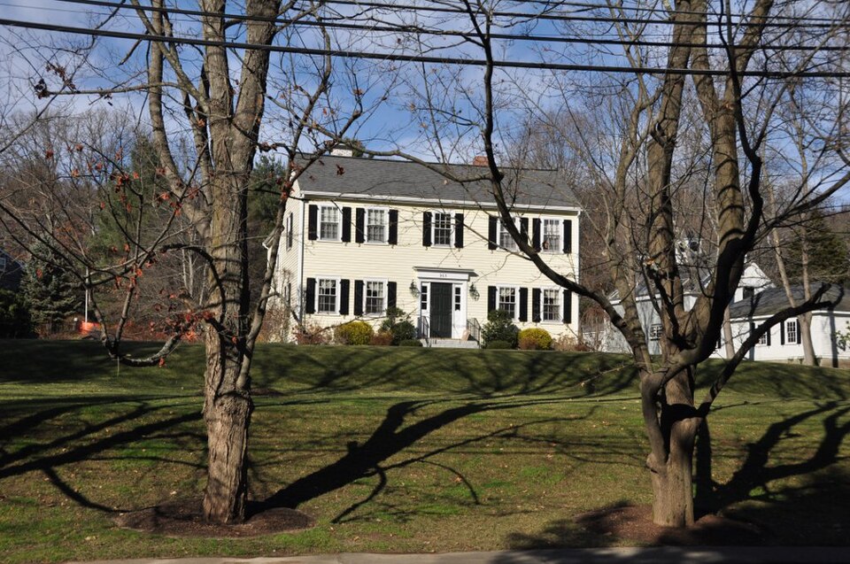
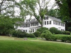
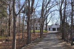
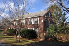
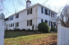
“The Israel Whitney House is a historic house in Needham, Massachusetts. It is a wood-frame house, five bays wide, with a side gable roof and clapboard siding.”
Wikipedia article Israel Whitney House, CC BY-SA 4.0.
one of 249 National Register listings in Norfolk County · listed in 1988 · category: Building · one of 2 National Historic Landmarks in Norfolk County.
National Register reference number.88000160- the number the National Park Service assigned this property when it was listed, and the key its nomination file is catalogued under at the National Archives.
The Publishers desire to express their thanks to J. W. Lewis & Co., of Philadelphia, for permission to use their history of Norfolk County, also to C. C. Greenwood, Esq., and George K. Clarke, Esq., for their valuable assistance in preparing this historical sketch of Needham, and to all other citizens of Needham for the courtesy extended to them in their labor of canvassing, and for the patronage received for the work.
There are various papers, and certified copies of town records introduced to prove the Nehoiden transaction. On February 8, 1711/12, Needham appointed Jonathan Gay and Joseph Daniell to treat with Dedham as to the boundary, and on March 10 the mother town chose three men to appeal to the General Court to change the line In favor of Dedham, and the same day Needham selected Jeremiah Woodcock, Joseph Daniell and John Smith, Jr., to maintain that "the Longe Diche, a straite Line from Riuer to Riuer" should be the line. "Sargeant" John Fisher and Robert Cook were added to the committee and directed to answer the Dedham men before the General Court. On April 7 the same citizens, with the exception of Ebenezer Ware in place of Daniell, were chosen "to Come to a Loveng a Greement" with Dedham. The General Court ended the controversy by deciding in favor of the existing line.
Regional context, not property-specific
evidence. The
federal wildfire occurrence database
lists 117 fires within 5 miles of Whitney, Israel, House between
2003 and 2020, burning about 380 acres in total. None started naturally. None was recorded as arson.
Distance is straight-line from the map coordinates, so a fire counted
here may appear on a neighbouring settlement's page as well.
Reported cause
Fires
Recreation and ceremony
65
Missing data/not specified/undetermined
34
Smoking
7
Debris and open burning
7
Power generation/transmission/distribution
2
Equipment and vehicle use
1
Other causes
1
The most recent of
them, most recent first, with the day each was reported and the service
that recorded it.
Regional context, not property-specific
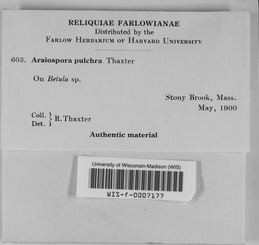
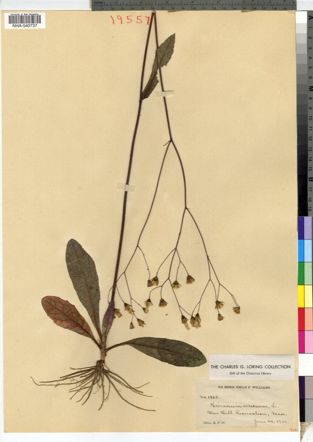
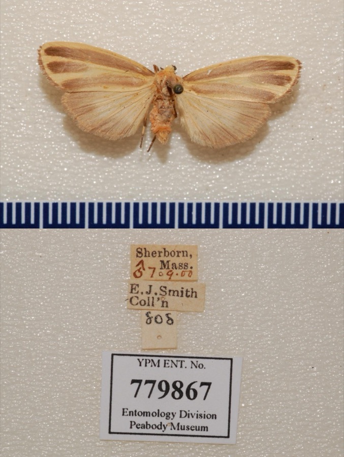
evidence. Museums hold 15,562 specimens
collected within 10 miles of Whitney, Israel, House between 1805 and
1975: 6,468 Animalia, 4,633 Plantae, 4,016 Fungi, 192 Protozoa, 169 Chromista, 52 Unrecorded, 32 Bacteria. 12 distinct Species records are shown.
Collected by ?, ? ex Herb. W.G. Farlow, A C Gibson and others. Each is a
physical object with a catalogue
number, and each entry opens the museum's record. This is what was
collected and kept, not a survey of what lives here - nothing can be
concluded from a species being absent.
Regional context, not property-specific
evidence. The federal mineral resources record lists
8 workings within 5 miles of Whitney, Israel, House: 6 past producers, 1 producer, 1 unknown.
1 still produces. What was taken out: Sand and Gravel, Construction, Stone, Stone, Crushed/Broken. Distance is straight-line from the
map coordinates, so a quarry counted here may appear on a neighbouring
settlement's page as well.
Regional context, not property-specific
evidence. The National Weather Service names
Needham, the town this property stands in, in 19 storm reports between 2000 and 2023: 8 thunderstorm wind, 5 hail, 4 flood, 2 lightning.
No death or injury is recorded in these reports. Each account below is quoted exactly as the forecast office
filed it, from the NOAA Storm Events Database, and each date
opens the federal record of that event.
Flooding reaching the tops of tires in Needham at the intersection of Great Plain Avenue and Ivy Road. The Canton Street railroad underpass in Sharon was flooded. A section of Village Street in Medway was flooded. The exit ramp from U.S. Route 1 near an auto dealership in Norwood was flooded; Dean Street in Norwood was flooded; two sections of University Avenue in Norwood were flooded. Oak Street at Park Street in Medfield was flooded. Albion Road at Cliff Road in Wellesley was flooded; State Route 9 near the Fire Department Headquarters was flooded.
No historic map-sheet match is published
for this property yet. That does not mean no map exists. This record needs
a coordinate-quality review before it can be joined to a sheet boundary.
Browse the county's mapped places while that work is
pending.
Named in the fire insurance atlases
Sanborn surveyors printed an index of the
town's establishments at the front of each atlas. This property is named in
one, read straight off the scanned sheet.
When this property was proposed for the
National Register, someone wrote the case for it: what the building is,
and why it matters. That document is a federal record in the public domain.
It is quoted below word for word, never summarised. The text was read off the scanned case file by machine, so the
occasional stray character is the recogniser's and the 1970s
typewriter's.
Statement of significance
Israel Whitney House, Needham, Massachusetts Certifying official has considered the significance of this property in relation to other properties: Jnationally statewide locally LXB Applicable National Register Criteria Criteria Considerations (Exceptions) Areas of Significance (enter categories from instructions) Architecture Commerce Settlement Period of Significance 1830-1847 Significant Dates 1830 Cultural Affiliation N/A Significant Person Whitney, Israel Architect/Builder State significance of property, and justify criteria, criteria considerations, and areas and periods of significance noted above.
The Israel Whitney House, Needham, possesses integrity of location, design, setting, materials and workmanship as we11 as significant historical associations with Needham's development during the early 19th century. This wel1-preserved example of a late Federal farmhouse derives its importance from its architecture, prominent location and from its association with its first owner, Israel Whitney. Whitney played a long and active role in the early civic development of Needham. Thus, the Israel Whitney House meets criteria B and C of the National Register on the local level. The Whitney House is associated with important activities of Needham's early 19th century development. It was the first non-ecclesiatical house to have been built on parish land, and used as the town's post office.
Furthermore, the architecture of this house provided a standard of size and quality for later residential construction in the 19th century town center when the town was still predominantly an agricultural conmunity. The houses of the first minister, Jonathan Townsend (NR 04/01/82), built in 1720, and the Davis Mills House, built in 1834, still stand on Central Avenue while buildings that once stood on Central Avenue and Nehoiden Street, the first stood an schoolhouse, the post office, and the First Parish Church no longer survive. Israel Whitney (1774-1846) came to Needham from Watertown, Massachusetts in 1795.
Quoted from the National Register nomination
for reference 88000160, 20 pages, held by the National Archives in Record
Group 79. See the
catalogue record.
Listed places nearby
6 within 8 miles
Other National Register properties close
enough to walk or drive between, ordered by distance from this one. Both
positions come from the same geocoding pass that matched these properties
to their map sheets.
Listing record. National Park Service National Register of Historic Places, listed-properties dataset, current to 2026-05-22.
Map join. Address geocoded through the United States Census geocoder, then tested against the published boundary of every sheet in the USGS Historical Topographic Map Collection.
How this page is made. Listing fields come from federal records; map-sheet coverage is a labelled coordinate-to-boundary calculation, not a source-field claim.
Wildfire. Short, Karen C. 2022. Spatial wildfire occurrence data for the United States, 1992-2020 [FPA_FOD_20221014]. 6th Edition. Fort Collins, CO: Forest Service Research Data Archive. https://doi.org/10.2737/RDS-2013-0009.6 Collected with United States Government funding and usable without additional permissions or fees.
Specimens. Global Biodiversity Information Facility (GBIF), https://www.gbif.org/. Only records licensed CC0 or CC BY are used. Records licensed CC BY-NC are excluded because this site carries advertising. Images are checked individually and any whose licence is non-commercial, no-derivatives or unreadable is refused.
Mines and quarries. USGS Mineral Resources Data System (MRDS) https://mrdata.usgs.gov/mrds/ A work of the United States government, no copyright under 17 U.S.C. 105.
Storms. NOAA National Centers for Environmental Information, Storm Events Database https://www.ncei.noaa.gov/stormevents/ A work of the United States government, no copyright under 17 U.S.C. 105. Narratives are quoted verbatim from the National Weather Service report and are not edited or summarised.
 Block
Block