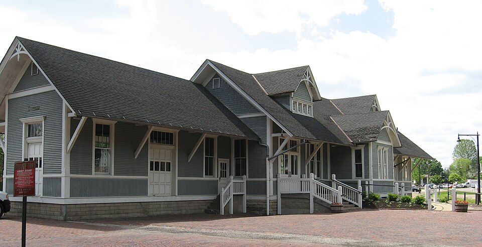
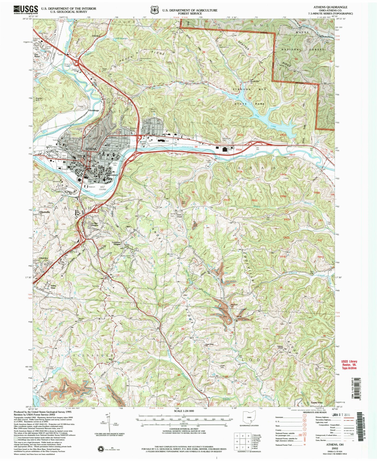
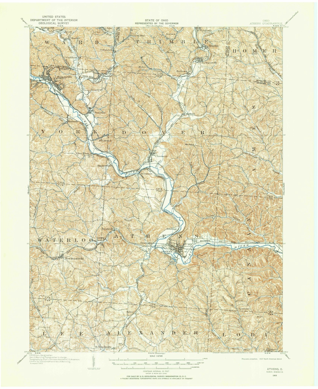
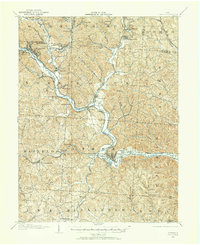
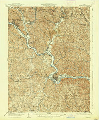
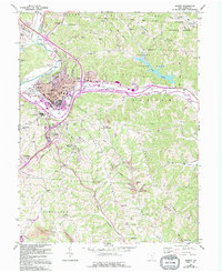
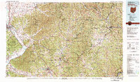
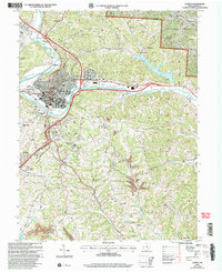
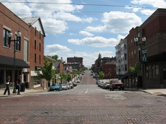
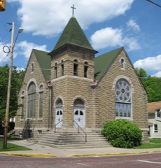
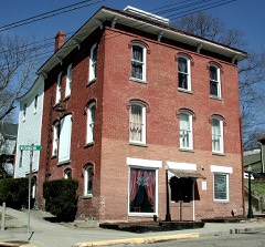
Listed on the National Register of Historic Places in 1983. 9 historic topographic surveys show this location, the earliest from 1903.
From the record
“Athens station is a former train station in Athens, Ohio, adjacent to the campus of Ohio University. It served the Baltimore and Ohio Railroad from around 1890 until 1971, then Amtrak from 1976 to 1981.”
Wikipedia article Athens station (Ohio), CC BY-SA 4.0.
One of 28 National Register listings published here for Athens County · listed in 1983 · category: Building.
National Register reference number.83001944- the number the National Park Service assigned this property when it was listed, and the key its nomination file is catalogued under at the National Archives.
Then and now
1903 to 2002
The ground this property stands on, surveyed
99 years apart. Drag the handle to wipe between them. Both sheets are
United States Geological Survey originals; neither has been altered.
19032002
Fires near this property
28 since 2006
Regional context, not property-specific
evidence. The
federal wildfire occurrence database
lists 28 fires within 5 miles of Athens B & O Train Depot
between 2006 and 2020, burning about 39 acres in total. 1 started naturally. None was recorded as arson.
Distance is straight-line from the map coordinates, so a fire counted
here may appear on a neighbouring settlement's page as well.
Reported cause
Fires
Missing data/not specified/undetermined
13
Debris and open burning
9
Power generation/transmission/distribution
3
Equipment and vehicle use
2
Natural
1
The most recent of
them, most recent first, with the day each was reported and the service
that recorded it.
Regional context, not property-specific
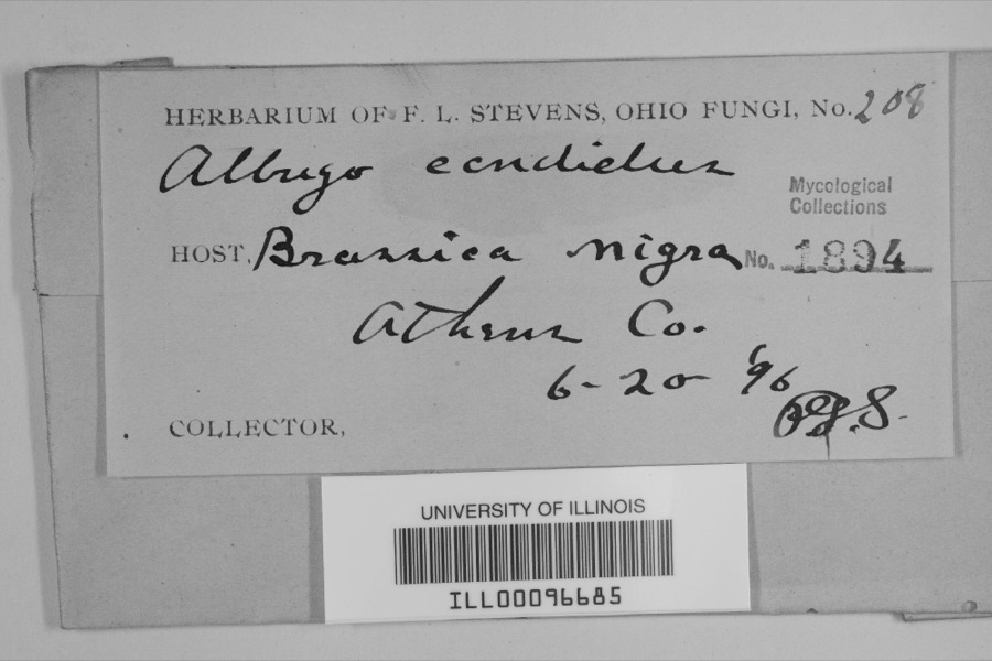
evidence. Museums hold 1,290 specimens
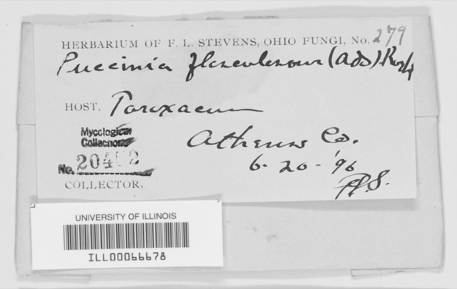
collected within 10 miles of Athens B & O Train Depot between 1896 and 1975: 1,082 Animalia, 151 Plantae, 47 Fungi, 4 Unrecorded, 4 Protozoa, 1 Chromista, 1 Bacteria.
12 distinct Species records are shown.
Collected by A. D. Selby, A. H. Blickle, Auburn E. Brower and others. Each is a
physical object with a catalogue
number, and each entry opens the museum's record. This is what was
collected and kept, not a survey of what lives here - nothing can be
concluded from a species being absent.
Regional context, not property-specific
evidence. The National Weather Service names
Athens, the town this property stands in, in 71 storm reports between 1994 and 2025: 41 thunderstorm wind, 21 hail, 3 flash flood, 2 lightning.
The reports record 8 injuries. Each account below is quoted exactly as the forecast office
filed it, from the NOAA Storm Events Database, and each date
opens the federal record of that event.
Thunderstorm wind gusts of 40 to 50 mph caused tree damage and collapsed a county fair tent. The tent collapsed during the swine judging, with as many as 400 people inside. Many of those caught in the tent, appeared stunned, but calm. Eight people received minor injuries. No animals were hurt. One witness said., " It was the best example I've seen of everyone working together." The nearby anemometer at the Scalia Lab on the Ohio University campus reported a wind gust of 41 mph. In a related incident, an indirect death occurred while a 74 old man lost control of his tractor and it overturned. He was trying to take shelter from the midday storm. He was 60 feet from his residence on Hooper Ridge Road, near Amesville.
Numerous large trees and branches were blown down in the city. The Emergency Management Agency reported 2 houses were severely damaged by fallen trees. Trees also fell across roads, sidewalks, driveways, and yards. Electrical power was lost.
An EF1 tornado with maximum winds up to 100 mph touched down near Angel Ridge Road in Athens County. The tornado tracked east-northeast crossing Gura Road, Long Run Road, and North Coolville Ridge Road before lifting just past Kincade Road. Damage was limited to snapped and uprooted trees and some snapped power poles along the path, with the worst damage occurring in a 300 yard wide swath along Long Run Road. This is the seventh documented tornado in Athens County and the first since 2018.
Numerous trees were downed throughout the city of Athens. The Athens County airport reported a wind gust of 58 miles per hour around the time these trees were downed.
The Hocking River at Athens rose out of its 20 foot flood stage late in the afternoon on February 19th. The river remained above its flood stage for only a brief period of time and was back in its banks that evening. Low lying areas around the river and the nearby campground observed minor flooding between Athens and Coolville while the Hocking River was out of its banks.
The Hocking River at Athens exceeded its flood stage of 20 feet early in the morning of April 5th, then continued to rise to a crest of around 20.8 feet the next morning. The river slowly fell back below flood stage early in the morning on the 7th. Low areas, the campground, and private camps along the river between Athens and Coolville began to flood during the time the river was out of its banks. Low sections of Harmony Road and baseball fields in Nelsonville also flooded.
Flooding was observed on Strouds Road, State Route 690, and State Route 550 between State Routes 690 and 329. A van was stranded in flood water at Sand Rock Road in Amesville. Another vehicle became stranded on State Route 690.
United States Geological Survey topographic
sheets whose coverage includes this point. Matched by taking the coordinate the National Park Service records for this property, then
testing that coordinate against the published boundary of every sheet.
When this property was proposed for the
National Register, someone wrote the case for it: what the building is,
and why it matters. That document is a federal record in the public domain.
It is quoted below word for word, never summarised. The text was read off the scanned case file by machine, so the
occasional stray character is the recogniser's and the 1970s
typewriter's.
Description of the property
The ATHENS B & 0 TRAIN DEPOT is located next to the railroad tracks on the southwest corner of Depot and Union Streets in the City of Athens, Athens County, in the state of Ohio. The DEPOT was built circa 1890 as the main passenger train depot serving the City Situated near the DEPOT are various other remnants of Athens' past, including such historic road and the location of the DEPOT stimulated the growth of the mixed residential/commercial/ industrial area which now surrounds it. The structure itself is a one-story rectangular building 128.5 feet long and 25.5 feet deep, built in the stick style design of that period. The DEPOT lays parallel to the rail- road tracks and contains a total of 3,076 square feet of floor space and foundation area.
The front side is the north side of the building, and the rear side is the south side of the building and faces the railroad tracks. The exterior of the structure is considered to have a has seven 2/2 wood framed windows, two double wooden doors, and one garage type door. The and downspouts, a stone block foundation, vertical and horizontal tongue and groove wood siding, exposed underhang area. east of the waiting room, two offices exclusive of the ticketing room, and an office addition two suspended fluorescent light fixtures, ornamental decorative wood ceiling and walls, and radiator, old linoleum over a wood floor, fluorescent light fixtures, conduit wiring, and The original DEPOT was altered circa 1915.
A circular gable roof existed in the center Circa 1915 the circular tower section was removed and both ends of the building were enclosed 7. Description Condition unexposed ruins wood walls and ceiling. suspended incandescent lighting at various points on the exterior of the building, and an Check one .
(in one paragraph) catalyst to the industrial, economic, and residential development of the City of Athens. of its economic activity, and on access to transportation routes to stimulate industrial With the destruction of the canal by a flood more than 100 years ago, the railroad the importance of this mode of transportation in the inflow and outflow of coal and other natural resources, and manufactured goods. The stick type architecture of the depot remains as the best example of this building style in the city. Industry and businesses dependent upon the railroad for transport of raw materials and manufactured goods sprang up in the late 1800's and early 1900's near the Depot.
fur processing company, planing mill, foundry and machine company, and housing for workers Transportation was the catalyst to the development and growth of the City of Athens. Because the Athens B & 0 Train Depot is the only remaining tribute to the importance of transportation in the late 1800's, it is worthy of preservation. 1600-1699 8. Significance 1500-1599 1700-1799 commerce 1890 communications 1400-1499 economics engineering invention industry education archeology-historic conservation philosophy Period science humanitarian theater architecture exploration/settlement art prehistoric literature music agriculture Specific dates law 1900- military the railroad emerging as the tranpsortation hub of the City of Athens.
landscape architecture _ - religion -politics/government X transportation The Athens B & 0 Train Depot represents the importance of transportation as a gained importance as an impetus to economic and industrial development in the City of Athens. By 1890, Athens was connected by rail to nearby Marietta and Chillicothe, with connections to Columbus. The Depot was built circa 1890 to accommodate the daily passenger the need for the Railroad Hotel, which located close to the depot also.
Quoted from the National Register nomination
for reference 83001944, 11 pages, held by the National Archives in Record
Group 79. See the
catalogue record.
Listed places nearby
6 within 8 miles
Other National Register properties close
enough to walk or drive between, ordered by distance from this one. Both
positions come from the same geocoding pass that matched these properties
to their map sheets.
Listing record. National Park Service National Register of Historic Places, listed-properties dataset, current to 2026-05-22.
Map join. Address geocoded through the United States Census geocoder, then tested against the published boundary of every sheet in the USGS Historical Topographic Map Collection.
How this page is made. Listing fields come from federal records; map-sheet coverage is a labelled coordinate-to-boundary calculation, not a source-field claim.
Wildfire. Short, Karen C. 2022. Spatial wildfire occurrence data for the United States, 1992-2020 [FPA_FOD_20221014]. 6th Edition. Fort Collins, CO: Forest Service Research Data Archive. https://doi.org/10.2737/RDS-2013-0009.6 Collected with United States Government funding and usable without additional permissions or fees.
Specimens. Global Biodiversity Information Facility (GBIF), https://www.gbif.org/. Only records licensed CC0 or CC BY are used. Records licensed CC BY-NC are excluded because this site carries advertising. Images are checked individually and any whose licence is non-commercial, no-derivatives or unreadable is refused.
Storms. NOAA National Centers for Environmental Information, Storm Events Database https://www.ncei.noaa.gov/stormevents/ A work of the United States government, no copyright under 17 U.S.C. 105. Narratives are quoted verbatim from the National Weather Service report and are not edited or summarised.
 Block