Block
From the record
One of 28 National Register listings published here for Athens County · listed in 2020 · category: Building.
Sources: the National Register database, National Park Service
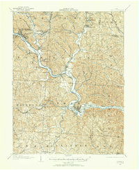
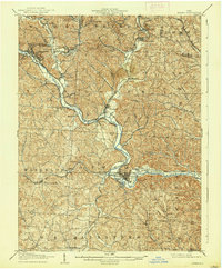
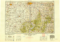
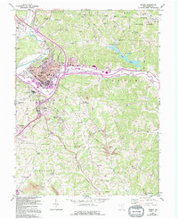
Listed on the National Register of Historic Places in 2020. 9 historic topographic surveys show this location, the earliest from 1903.
One of 28 National Register listings published here for Athens County · listed in 2020 · category: Building.
Sources: the National Register database, National Park Service
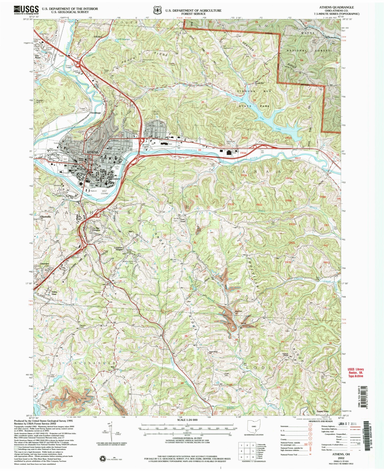
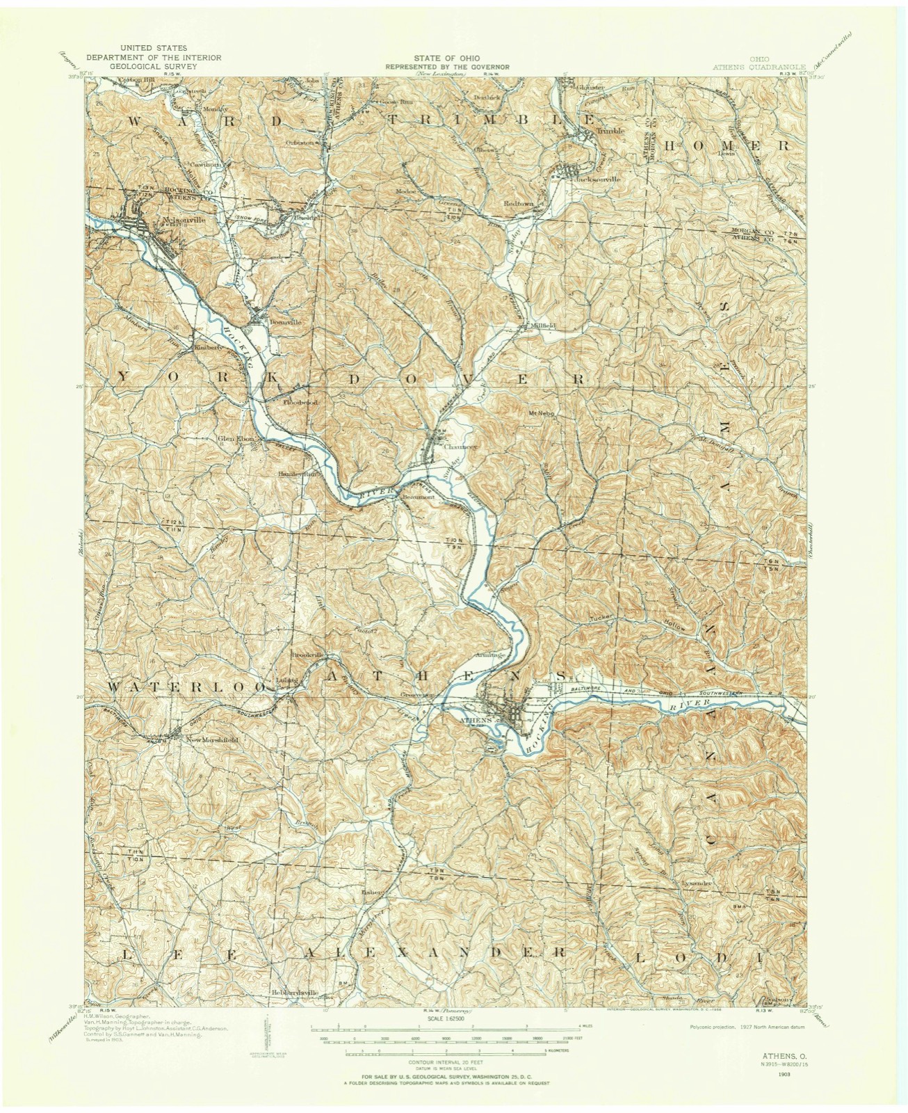
The ground this property stands on, surveyed 99 years apart. Drag the handle to wipe between them. Both sheets are United States Geological Survey originals; neither has been altered.
Regional context, not property-specific evidence. The federal wildfire occurrence database lists 30 fires within 5 miles of Stedman-Shafer Grocery Warehouse Building between 2006 and 2020, burning about 42 acres in total. 1 started naturally. None was recorded as arson. Distance is straight-line from the map coordinates, so a fire counted here may appear on a neighbouring settlement's page as well.
| Reported cause | Fires |
|---|---|
| Missing data/not specified/undetermined | 13 |
| Debris and open burning | 10 |
| Power generation/transmission/distribution | 3 |
| Equipment and vehicle use | 2 |
| Natural | 1 |
| Recreation and ceremony | 1 |
The most recent of them, most recent first, with the day each was reported and the service that recorded it.
| Date | Cause | Size | Reported by | Name on the report |
|---|---|---|---|---|
| 23 September 2019 | Debris and open burning | under an acre | Wayne National Forest | BEAN HOLLOW |
| 23 September 2019 | Debris and open burning | under an acre | Wayne National Forest | RAW FIRE |
| 2 June 2020 | Missing data/not specified/undetermined | under an acre | Wayne National Forest | NORTH PEACH |
| 12 June 2017 | Equipment and vehicle use | under an acre | Wayne National Forest | MILL CREEK FIRE |
| 8 April 2013 | Missing data/not specified/undetermined | 5.0 acres | Ohio Department of Natural Resources | not named |
| 8 April 2013 | Missing data/not specified/undetermined | 5.7 acres | Ohio Department of Natural Resources | not named |
| 8 April 2013 | Missing data/not specified/undetermined | 5.0 acres | Ohio Department of Natural Resources | not named |
| 7 April 2013 | Debris and open burning | 1.3 acres | Ohio Department of Natural Resources | not named |
Regional context, not property-specific evidence. Museums hold 1,295 specimens collected within 10 miles of Stedman-Shafer Grocery Warehouse Building between 1896 and 1975: 1,086 Animalia, 152 Plantae, 47 Fungi, 4 Unrecorded, 4 Protozoa, 1 Chromista, 1 Bacteria. 12 distinct Species records are shown. Collected by A. D. Selby, A. H. Blickle, Auburn E. Brower and others. Each is a physical object with a catalogue number, and each entry opens the museum's record. This is what was collected and kept, not a survey of what lives here - nothing can be concluded from a species being absent.
| Image | Species | Year | Collected by | Where, as recorded |
|---|---|---|---|---|
 | Albugo candida (Pers. ex J.F.Gmel.) Roussel | 1896 | F.L. Stevens | |
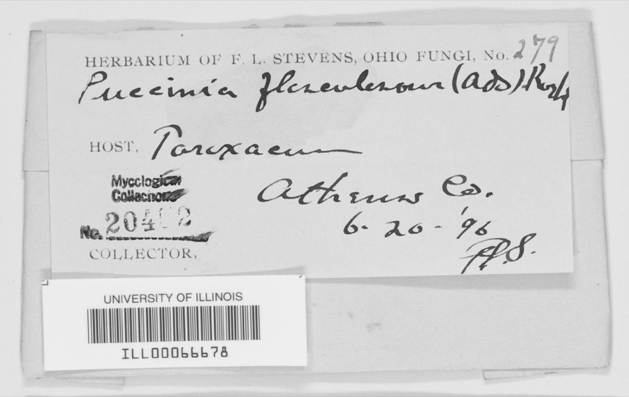 | Puccinia flosculosorum Röhl., 1813 | 1896 | F. L. Stevens | Athens County |
 | Ambrosia bidentata Michx. | 1969 | William G. Gambill Jr. | |
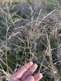 | Tridens flavus (L.) Hitchc. | 1896 | Selby, A.D. | Caananville |
 | Aristida longespica var. longespica | 1898 | Selby, A.D. | Pleasanton |
 | Perlesta Banks, 1906 | 1898 | N. Roberts | |
 | Quercus minor (Marshall) Sarg. | 1898 | Selby, A.D. | Pleasanton |
 | Diospyros virginiana L. | 1899 | A. D. Selby | Marshfield |
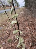 | Salix humilis var. tristis (Aiton) Griggs | 1899 | Selby, A.D. | Marshfield |
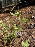 | Tephrosia virginiana (L.) Pers. | 1899 | Selby, A.D. | Marshfield |
 | Elaphe obsoleta obsoleta | 1902 | Morse, M. (Max) | Nelsonville, Athens Co., Ohio |
| Melasmia Lév., 1846 | 1902 | Kellerman, W.A. | Athens |
All 1,295 specimens within 10 miles, at the Global Biodiversity Information Facility.
Regional context, not property-specific evidence. The National Weather Service names Athens, the town this property stands in, in 71 storm reports between 1994 and 2025: 41 thunderstorm wind, 21 hail, 3 flash flood, 2 lightning. The reports record 8 injuries. Each account below is quoted exactly as the forecast office filed it, from the NOAA Storm Events Database, and each date opens the federal record of that event.
| When | Event | Place named | Harm | What the report says |
|---|---|---|---|---|
| August 2000 | High Wind | Athens | 8 hurt, $20,000 | Thunderstorm wind gusts of 40 to 50 mph caused tree damage and collapsed a county fair tent. The tent collapsed during the swine judging, with as many as 400 people inside. Many of those caught in the tent, appeared stunned, but calm. Eight people received minor injuries. No animals were hurt. One witness said., " It was the best example I've seen of everyone working together." The nearby anemometer at the Scalia Lab on the Ohio University campus reported a wind gust of 41 mph. In a related incident, an indirect death occurred while a 74 old man lost control of his tractor and it overturned. He was trying to take shelter from the midday storm. He was 60 feet from his residence on Hooper Ridge Road, near Amesville. |
| June 2002 | Thunderstorm Wind | Athens | $200,000 | Numerous large trees and branches were blown down in the city. The Emergency Management Agency reported 2 houses were severely damaged by fallen trees. Trees also fell across roads, sidewalks, driveways, and yards. Electrical power was lost. |
| June 2012 | Thunderstorm Wind | Athens | $150,000 | A gust to 64 mph was measured. The Ohio University campus lost 25 trees to the wind. The trees damaged a baseball field fence and crushed one truck. |
| April 2015 | Thunderstorm Wind | Athens | $25,000 | Trees were blown down along Radford Road and in the University Heights Drive vicinity. |
| March 2011 | Hail | Athens | $25,000 | Large hail dented a few vehicles. |
| May 2011 | Thunderstorm Wind | Athens | $20,000 | Trees or large branches fell onto power lines. |
| August 2023 | Tornado (EF1) | Athens | $10,000 | An EF1 tornado with maximum winds up to 100 mph touched down near Angel Ridge Road in Athens County. The tornado tracked east-northeast crossing Gura Road, Long Run Road, and North Coolville Ridge Road before lifting just past Kincade Road. Damage was limited to snapped and uprooted trees and some snapped power poles along the path, with the worst damage occurring in a 300 yard wide swath along Long Run Road. This is the seventh documented tornado in Athens County and the first since 2018. |
| April 2019 | Thunderstorm Wind | Athens | $10,000 | Multiple large limbs and a pine tree were snapped on the Ohio University campus. The outfield fence at the softball field was also blown down. |
| February 2011 | Thunderstorm Wind | Athens | $10,000 | Trees fell onto power llines, knocking out the electricity. |
| April 2002 | Hail | Athens | $10,000 | Winds also gusted to 42 mph at Ohio University. |
| July 2005 | Thunderstorm Wind | Athens | $10,000 | no account filed |
| June 1996 | Thunderstorm Wind | Athens | $10,000 | no account filed |
| April 1996 | Thunderstorm Wind | Athens | $10,000 | no account filed |
| April 2025 | Thunderstorm Wind | Athens | $8,000 | Numerous downed trees and power outages were observed in and south of Athens. |
| June 2021 | Thunderstorm Wind | Athens | $8,000 | Multiple trees were blown down in the Athens township. |
| June 2015 | Thunderstorm Wind | Athens | $5,000 | Trees were blown down. |
| May 2012 | Lightning | Athens | $5,000 | A feed store was struck. |
| March 2011 | Thunderstorm Wind | Athens | $5,000 | Several trees were blown down. |
| February 2009 | Thunderstorm Wind | Athens | $5,000 | Trees were blown onto power lines. |
| June 1998 | Thunderstorm Wind | Athens | $5,000 | Several big trees were knocked down in town. |
| June 1994 | Thunderstorm Wind | Athens | $5,000 | Trees were downed. |
| August 1994 | Thunderstorm Wind | Athens | $5,000 | Trees and large limbs were downed in town and on the Ohio University Campus. |
| August 1996 | Thunderstorm Wind | Athens | $5,000 | no account filed |
| July 1995 | Thunderstorm Wind | Athens | $5,000 | no account filed |
| April 1995 | Hail | Athens | $5,000 | no account filed |
| August 2020 | Thunderstorm Wind | Athens | $4,000 | Several trees were downed in the southwest portion of the Athens Township, some blocking roadways. |
| November 2020 | Thunderstorm Wind | Athens | $4,000 | Numerous trees were downed throughout the city of Athens. The Athens County airport reported a wind gust of 58 miles per hour around the time these trees were downed. |
| April 2015 | Lightning | Athens | $4,000 | Lightning struck a dwelling. The house filled with smoke. |
| August 2021 | Flash Flood | Athens | $3,000 | High water flowed across Terrel Road to the southeast of the city of Athens. |
| July 2022 | Thunderstorm Wind | Athens | $2,000 | Multiple trees and power lines were blown down and damaged in and around Athens. |
| July 2017 | Thunderstorm Wind | Athens | $2,000 | Numerous trees were blown down by thunderstorm winds in the city of Athens. |
| November 2013 | Thunderstorm Wind | Athens | $2,000 | Trees were blown down along Pleasant Hill Road. |
| November 2013 | Thunderstorm Wind | Athens | $2,000 | Trees were blown down along Rich Lane. |
| July 2011 | Thunderstorm Wind | Athens | $2,000 | A few branches were blown down. |
| October 2010 | Thunderstorm Wind | Athens | $2,000 | Trees and large branches were blown down. |
| July 2005 | Thunderstorm Wind | Athens | $2,000 | Trees and power lines were knocked down along Salem Road or County Route 9. |
| May 2001 | Thunderstorm Wind | Athens | $2,000 | Several large branches and a few trees were blown down. |
| September 2000 | Thunderstorm Wind | Athens | $2,000 | Trees fell across roads. |
| May 2004 | Flash Flood | Athens | $2,000 | no account filed |
| August 1998 | Thunderstorm Wind | Athens | $2,000 | no account filed |
| February 2022 | Flood | Athens | $1,000 | The Hocking River at Athens rose out of its 20 foot flood stage late in the afternoon on February 19th. The river remained above its flood stage for only a brief period of time and was back in its banks that evening. Low lying areas around the river and the nearby campground observed minor flooding between Athens and Coolville while the Hocking River was out of its banks. |
| June 2022 | Thunderstorm Wind | Athens | $1,000 | Multiple trees were downed in the city of Athens. |
| March 2004 | Thunderstorm Wind | Athens | $1,000 | Power lines were knocked down by fallen trees and large branches. |
| May 2002 | Thunderstorm Wind | Athens | $1,000 | Trees and large branches were blown down |
| November 2002 | Thunderstorm Wind | Athens | $1,000 | Several trees were blown down. |
| April 2025 | Thunderstorm Wind | Athens | $250 | Outside of the Athens township, a tree was blown down on South Blackburn Road. |
| April 2025 | Flood | Athens | - | The Hocking River at Athens exceeded its flood stage of 20 feet early in the morning of April 5th, then continued to rise to a crest of around 20.8 feet the next morning. The river slowly fell back below flood stage early in the morning on the 7th. Low areas, the campground, and private camps along the river between Athens and Coolville began to flood during the time the river was out of its banks. Low sections of Harmony Road and baseball fields in Nelsonville also flooded. |
| July 2025 | Flash Flood | Athens | - | Flooding was observed on Strouds Road, State Route 690, and State Route 550 between State Routes 690 and 329. A van was stranded in flood water at Sand Rock Road in Amesville. Another vehicle became stranded on State Route 690. |
| June 2007 | Thunderstorm Wind | Athens | - | Trees fell down from the Route 690 vicinity, on east, to Route 329 near Stewart. |
| August 2007 | Thunderstorm Wind | Athens | - | Numerous trees or large branches fell along Route 56. |
| July 2007 | Thunderstorm Wind | Athens | - | Large branches were blown down along portions of County Routes 24 and 90. |
| June 2005 | Thunderstorm Wind | Athens | - | A gust to 62 mph was measured at Ohio University. |
| June 1995 | Thunderstorm Wind | Athens | - | Trees were blown down along Route 50 and Alexander Township Road 30. |
| May 2025 | Hail | Athens | - | no account filed |
| March 2022 | Hail | Athens | - | no account filed |
| May 2019 | Hail | Athens | - | no account filed |
| July 2019 | Hail | Athens | - | no account filed |
| April 2018 | Hail | Athens | - | no account filed |
| April 2015 | Hail | Athens | - | no account filed |
| March 2012 | Hail | Athens | - | no account filed |
United States Geological Survey topographic sheets whose coverage includes this point. Matched by taking the coordinate the National Park Service records for this property, then testing that coordinate against the published boundary of every sheet.
Other National Register properties close enough to walk or drive between, ordered by distance from this one. Both positions come from the same geocoding pass that matched these properties to their map sheets.
| Photograph | Property | Distance | Listed |
|---|---|---|---|
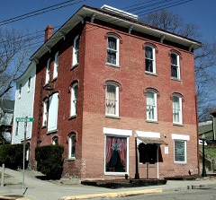 | Thomas Jefferson Herrold House and Store | 0.1 miles | 1980 |
 | Athens B & O Train Depot | 0.3 miles | 1983 |
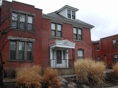 | Sheltering Arms Hospital | 0.3 miles | 1982 |
 | Beasley Building | 0.4 miles | 1982 |
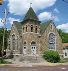 | Mount Zion Baptist Church | 0.5 miles | 1980 |
 | Athens Downtown Historic District | 0.5 miles | 1982 |
| National Archives record | The nomination case file for reference 100005540 in Record Group 79. |
| Athens County | All 28 listed properties in this county. |