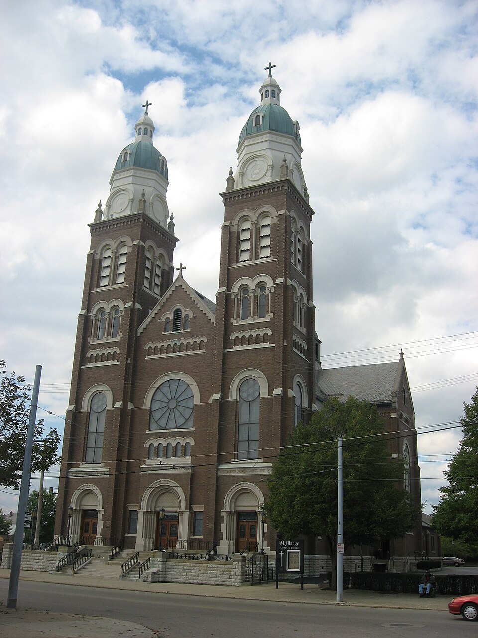
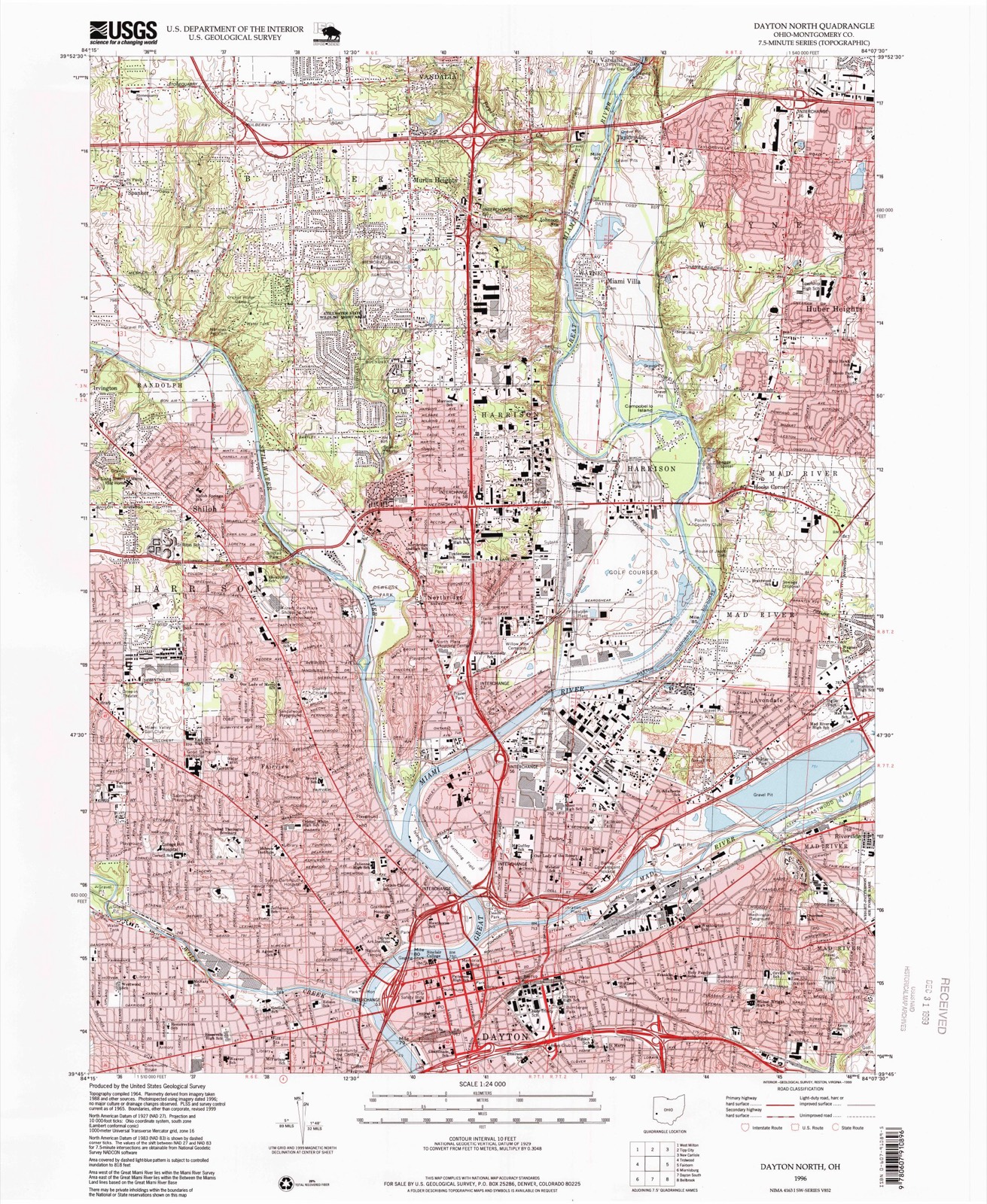
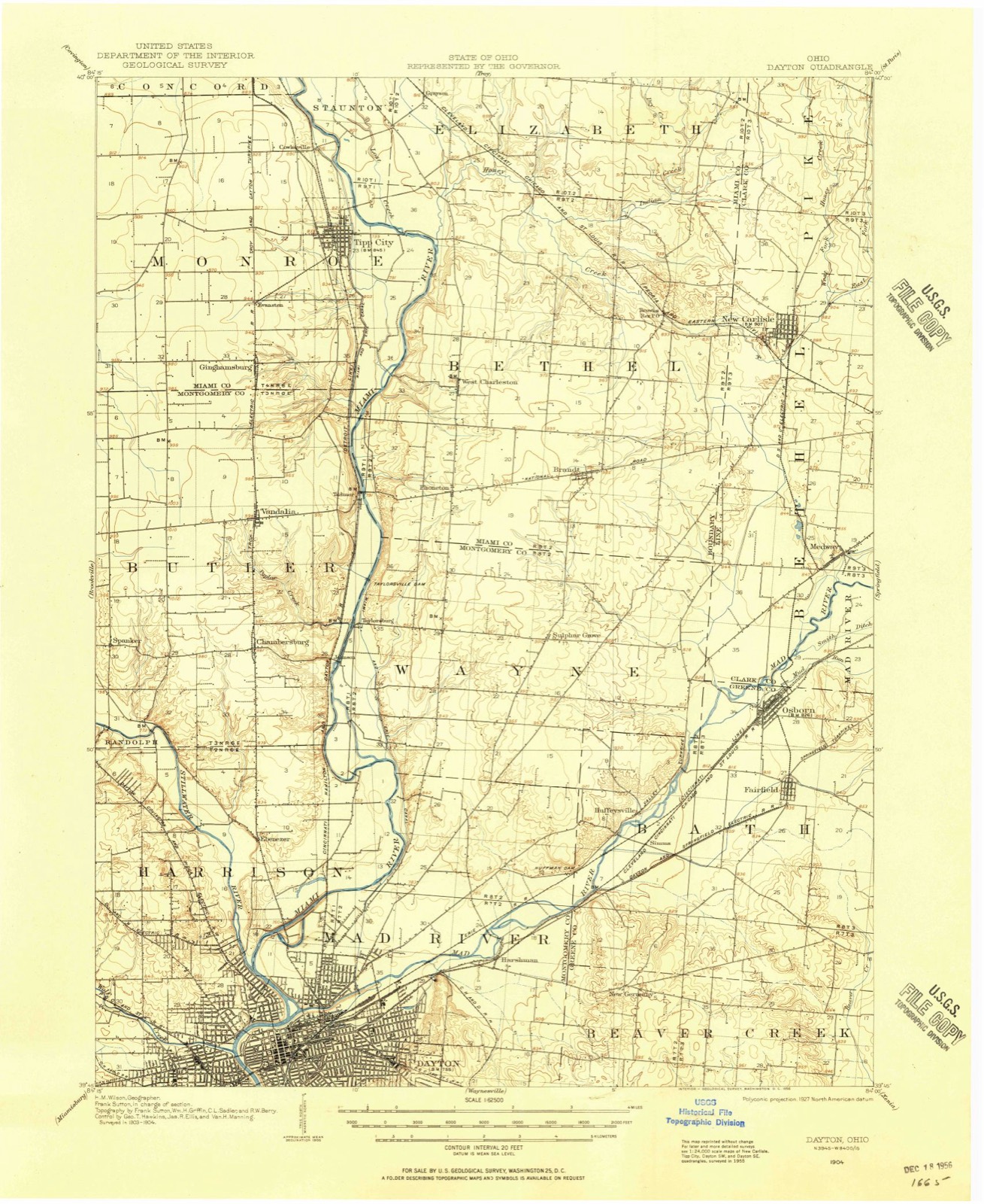
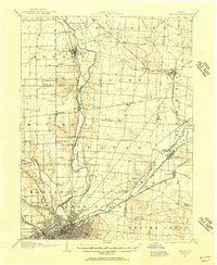
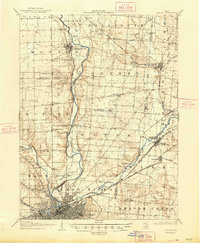
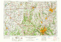
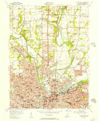
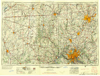
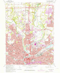
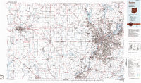
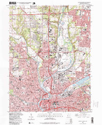
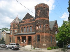
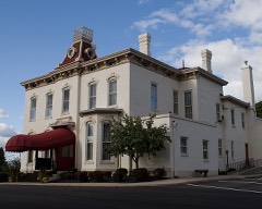
Built in 1906 (Romanesque Revival architecture). Listed on the National Register of Historic Places in 1983. 8 historic topographic surveys show this location, the earliest from 1904.
From the record
“Mary's Catholic Church is a historic Catholic church building in an eastern neighborhood of Dayton, Ohio, United States. Constructed at the beginning of the twentieth century, it remains home to an active parish.”
Wikipedia article St. Mary's Catholic Church (Dayton, Ohio), CC BY-SA 4.0.
One of 157 National Register listings published here for Montgomery County · listed in 1983 · category: Building · built in 1906, Romanesque Revival architecture.
National Register reference number.83002012- the number the National Park Service assigned this property when it was listed, and the key its nomination file is catalogued under at the National Archives.
Then and now
1904 to 1996
The ground this property stands on, surveyed
92 years apart. Drag the handle to wipe between them. Both sheets are
United States Geological Survey originals; neither has been altered.
19041996
What happened here
An account from the chapter on Dayton city. The inset identifies its exact
source book and publication year.
A Typical Frontier Vavern - Daytou Contained Nine Dwellings in 1799- - Several Roads Opened--Monument Avenue Cleared--Main Street a Narrow Wagon Road - Settlements Few and Far Between - Hardships of Pioneer Life--Tidian War Apprehended - Block House Built - Schooi Opened in the Block House- - First Distillery Started - Cooper's Saw Mill - Corn Cracker - Hogs Introduced - Feed on Mast - Attacked by Wild Animals--First Flat Boat Launched-Sheep Introduced - Cost of Groceries at Cinciunati - Little Money jin Circulation - Business Conducted by Barter - Value of Diffsrent Kinds of Skins--Cut Money - McDougal's Store - Trade with the Indians - First Child Boro in Dayton - Taxation in 1800 - First Wedding - Census in 1801 - First Miuister - - Methodists - Presbyterians--Log Meeting House - First Grave Yard - - Jobn W.
At the time of the settlement at Dayton, William McMillan, Robert Whee. an and Robert Benham were the County Commissioners of Hamilton County Tabor Washburn was Clerk; Daniel Syrnmes, Sheriff; Stephen Wood, Treasure and George Gordon, Coroner.
During the winter of 1796-97, Dayton Township and other township, were formed, making eleven in all in the county, viz., Cincinnati, Columbi; Miami, Anderson. Iron Ridge, South Bend, Colerain, Springfield, Fairfiel Deerfield and Dayton. Fairfield Township included the territory east of tl Big Miami, now in Butler County. Deerfield Township included the territoi west of the Little Miami, now in Warren County, and that part of Montgon irj County between the Miami Rivers south of the north line of the fifth range )f" townships. Dayton Township was bounded as follows: Beginning at a point >n the east bank of the Big Miami, where it was intersected by the north line )f the fifth range of townships; thence up that river in all its meanderings to he Indian boundary-lino, at a point where said river crossed the said Indian boundary -line, in Section 18, Township 2, in the fom-teenth range of townships, between the Miamis; thence along said line to Ludlow's line, and down that ine to the southeast corner of Section 5, Township 6, in the eighth range of townships between the Miamis, where was a branch of the Little Miami River; hence down the river to the north line of the fifth range of townships; thence (vest with said line to the place of beginning. The township thus described infiuded within its limits territory that now forms portions of the counties of Montgomery, Greene, Miami, Clark, Champaign, Logan and Shelby. All of Wayne, Mad River and Van Buren, with parts of Washington, Dayton and Miimi Townships, of Montgomery County, as at present formed, were in Dayton Township.
Regional context, not property-specific
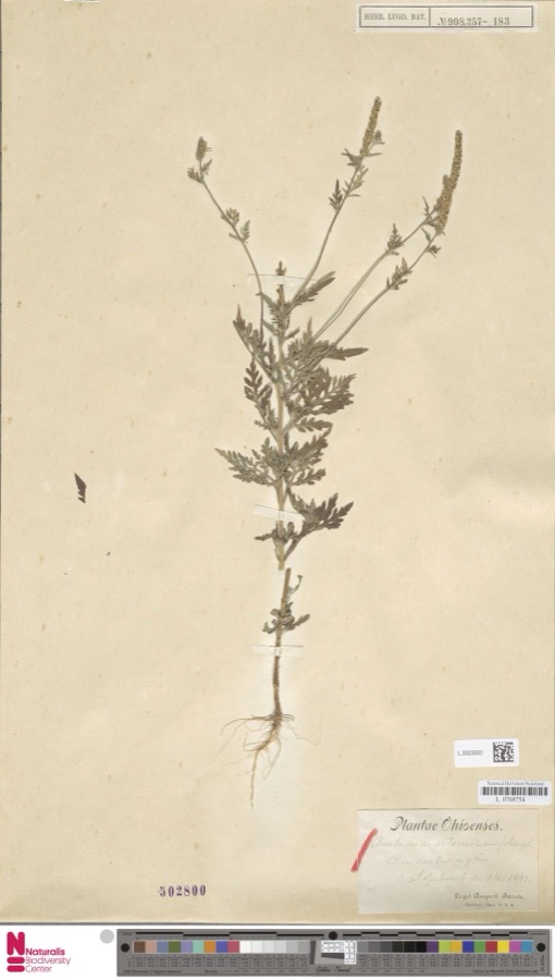
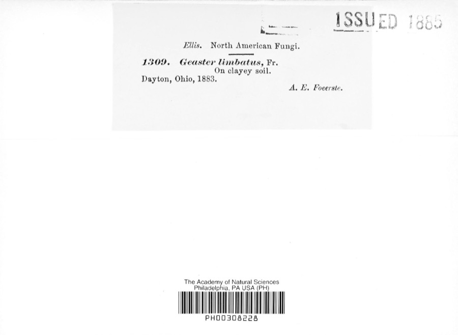
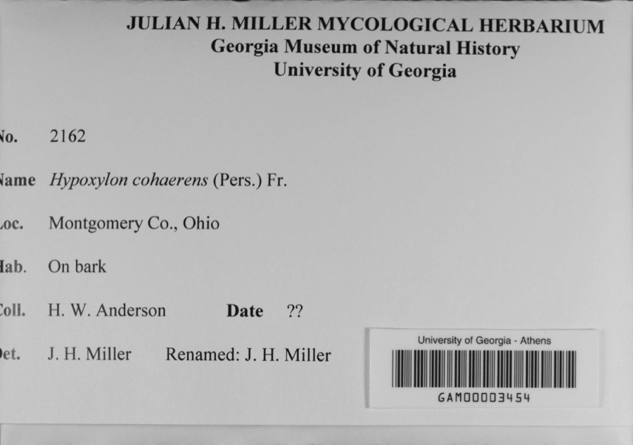
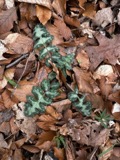
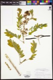
evidence. Museums hold 947 specimens
collected within 10 miles of St. Mary Roman Catholic Church between 1835 and 1975: 787 Animalia, 89 Plantae, 59 Fungi, 4 Protozoa, 4 Unrecorded, 4 Chromista.
12 distinct Species records are shown.
Collected by A JOHN, A JOHN AND W E DUELLMAN, A. E. Foeerste and others. Each is a
physical object with a catalogue
number, and each entry opens the museum's record. This is what was
collected and kept, not a survey of what lives here - nothing can be
concluded from a species being absent.
Regional context, not property-specific
evidence. The federal mineral resources record lists
17 workings within 5 miles of St. Mary Roman Catholic Church: 12 past producers, 5 producers.
5 still produce. What was taken out: Sand and Gravel, Construction. Distance is straight-line from the
map coordinates, so a quarry counted here may appear on a neighbouring
settlement's page as well.
Regional context, not property-specific
evidence. The National Weather Service names
Dayton, the town this property stands in, in 74 storm reports between 1994 and 2026: 41 thunderstorm wind, 15 hail, 8 flash flood, 7 flood.
The reports record 1 injury. Each account below is quoted exactly as the forecast office
filed it, from the NOAA Storm Events Database, and each date
opens the federal record of that event.
A University of Dayton student, Sean Ferguson, 23 of Pittsburgh, was struck by lightning as he ran across university parking lot C. The student was hospitalized with serious burns and a broken jaw.
Thunderstorms winds measured by spotters as high as 72 mph downed numerous trees, many of which fell on cars and blew on to and into homes. A construction trailer was severely damaged and some businesses received damage.
A roof was blown off of a residence in East Dayton as well as several utility poles that were snapped in half. Numerous trees were down in the vicinity of Glenrock Road and East Fifth Street. Several trees landed on parked automobiles and garages.
Large limbs were reported broken. A large tree was uprooted. Numerous large tree limbs were down in the road. These occurrences were due to damaging thunderstorm winds.
A car was stranded on Keowee Street under State Route 4 due to high water. Three feet of water was also reported on Webster Street at the underpass of State Route 4.
Numerous roads were flooded throughout the Dayton metropolitan area. A man had to be rescued when he drove his car into a flooded retention pond near the Dayton Mall.
8 papers published in this town,
digitised by the Library of Congress and free to read. Every page is searchable, so a name or a street can be
looked for directly in what the town printed about itself at the time.
United States Geological Survey topographic
sheets whose coverage includes this point. Matched by taking the coordinate the National Park Service records for this property, then
testing that coordinate against the published boundary of every sheet.
When this property was proposed for the
National Register, someone wrote the case for it: what the building is,
and why it matters. That document is a federal record in the public domain.
It is quoted below word for word, never summarised. The text was read off the scanned case file by machine, so the
occasional stray character is the recogniser's and the 1970s
typewriter's.
Description of the property
Italy.Numerous paintings, many on canvas, were placed in conspicuous beautifully ornate stained glass rose window.Another blind arcade, separated by flying buttresses.An arched.corbelled table runs the that was placed in the niches and below the mensa; by the Eurcharistic places.Tiffany lantern type lights were installed providing the splendor of the marble altar was increased by the extensions at the quarries.A total of l,2o0 square feet of beautiful Italian marble - fair Areas of Significance-Check and justify below - prehistoric _ archeology-historic _ conservation _ science - agriculture - sculpture - 1600-1699 X architecture .education .military - social/ _ art -music _ commerce .exploration/settlement - philosophy .theater X 1900 _ communications - politics/government - transportation _ invention - other (specify) Statement of
Statement of significance
(in one paragraph) of Romanesque architecture, a style typified by the round arch mosaics, and marble work, refects the true craftsmanship of the and its incredible interior, deserves to be included on the 1500-1599 1700-1799 economics 1800-1899 1400-1499 industry literature Period engineering humanitarian 8. Significance National Register of Historic Places. law Semi-circular arches span all openings and are also used, work of art unto itself with its beautifully executed frescoes, for this close knit parish, the first having been demolished CHURCH, in recognition of its magnificent Romanesque architecture this twin-towered chruch were drawn by John B.Vermont, about in 1905 to make way for the present church.
The plans for church in Dayton) to care for the German Catholics in East MARY may well be the grandest and most architecturally opulent church in the immediate area. The parish itself was established in l859 third Catholic Massillon, Ohio. The only Romanesque church in the city of Dayton, ST. ST.MARY ROMAN CATHOLIC.CHURCH is a beautifully executed example Now an East Dayton landmark for 76 ROMAN CATHOLIC - archeology-prehistoric - community planning landscape architecture - religion John B. Vermont in series, as wall enrichment. The interior of the church, a Builder/Architect time. whom nothing is known except that he was an architect from Dyton.The nominated church is only the second to be built Rev. Henz, pastor of St. Mary Church UMT References -_ state Mont. Co.
Historical Society date street & number 7 North Main Street telephone (513) 228-6271 Ohio 45402 The evaluated significance of this property within the state is: _ national As the designated State Historic Preservation Officer for the National Historic Preservation Act of 1966 (Public Law 89 State Historic Preservation Officer signature Keeper of the National Register Dayton 11.
Quoted from the National Register nomination
for reference 83002012, 20 pages, held by the National Archives in Record
Group 79. See the
catalogue record.
Listed places nearby
6 within 8 miles
Other National Register properties close
enough to walk or drive between, ordered by distance from this one. Both
positions come from the same geocoding pass that matched these properties
to their map sheets.
Listing record. National Park Service National Register of Historic Places, listed-properties dataset, current to 2026-05-22.
Map join. Address geocoded through the United States Census geocoder, then tested against the published boundary of every sheet in the USGS Historical Topographic Map Collection.
How this page is made. Listing fields come from federal records; map-sheet coverage is a labelled coordinate-to-boundary calculation, not a source-field claim.
Specimens. Global Biodiversity Information Facility (GBIF), https://www.gbif.org/. Only records licensed CC0 or CC BY are used. Records licensed CC BY-NC are excluded because this site carries advertising. Images are checked individually and any whose licence is non-commercial, no-derivatives or unreadable is refused.
Mines and quarries. USGS Mineral Resources Data System (MRDS) https://mrdata.usgs.gov/mrds/ A work of the United States government, no copyright under 17 U.S.C. 105.
Storms. NOAA National Centers for Environmental Information, Storm Events Database https://www.ncei.noaa.gov/stormevents/ A work of the United States government, no copyright under 17 U.S.C. 105. Narratives are quoted verbatim from the National Weather Service report and are not edited or summarised.
 Block