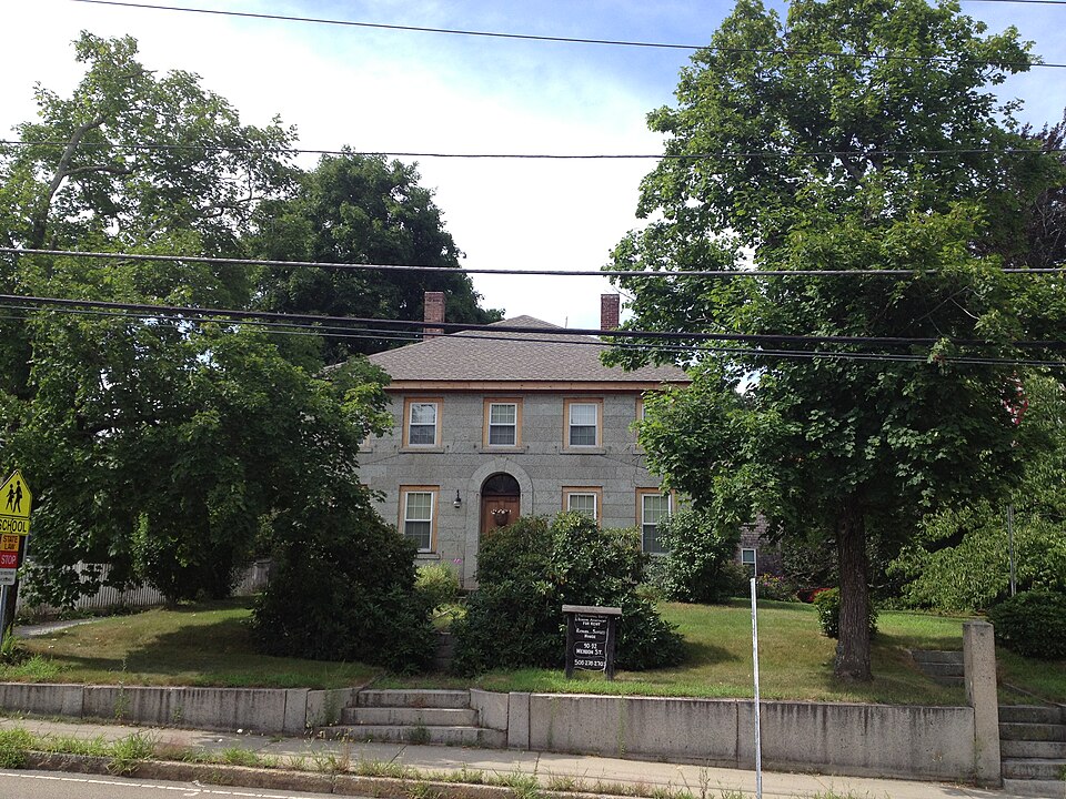
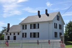
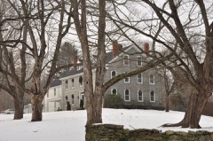
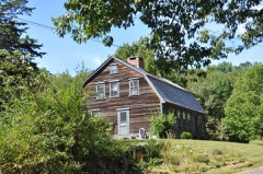
National Register reference number.83004131- the number the National Park Service assigned this property when it was listed, and the key its nomination file is catalogued under at the National Archives.
On the 15th day of May, 1867, in a small town iu the southeastern part of Worcester County, ''a vast assemblage," as one of those addressing it justly de- scribed it, were gathered together. Orators, poets, distinguished jurists, clergymen, statesmen and men of military renown were present, or regretfully sent excuses for their absence. The inhabitants of Milford, Blackstone, Uxbridge, Northbridge, Upton and Bellingham, with hundreds from more remote parts of the State and nation, had met to celebrate the two hundredth anniversary of the incorporation of what they lovingly called the "Mother Town of Mendon." The distinguished speakers seemed to feel it a high' privilege to recount the story of the ancient town, and found the day far too short for their purpose. Several of them had names borne by six generations of Mendon's inhabitants now passed away, as well as by many of its present citizens, and they felt they were telling the story of their ancestors as they narrated how the Aldrichs, Staples, Holbrooks, Thompsons, Chapins, Tafts and others painfully made their way from the coast to this fertile, hilly region, established homes, church, schools, and laid the foundation for all the abounding life of these busy towns of to-day.
Thelaborsof theapostleEliothadbeen untiring, and bands of praying Indians had been organized at Wacantuck (now Uxbridge), Hassanamisco (Grafton) and elsewhere. One indication of Eliot's influence is probably seen in the Indians' signatures to the Mendon deed by such names as William, John and Jacob, to which signatures, indeed, the Eliots, senior and junior, are witnesses.
Regional context, not property-specific
evidence. The
federal wildfire occurrence database
lists 106 fires within 5 miles of Richard Sayles House
between 2002 and 2020, burning about 79 acres in total. None started naturally. 3 were recorded as arson.
Distance is straight-line from the map coordinates, so a fire counted
here may appear on a neighbouring settlement's page as well.
Reported cause
Fires
Debris and open burning
37
Missing data/not specified/undetermined
26
Recreation and ceremony
16
Smoking
15
Railroad operations and maintenance
5
Arson/incendiarism
3
Equipment and vehicle use
2
Other causes
1
Misuse of fire by a minor
1
The most recent of
them, most recent first, with the day each was reported and the service
that recorded it.
Regional context, not property-specific
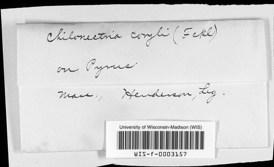
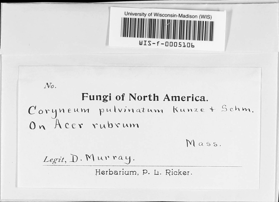
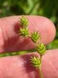
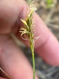
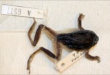
evidence. Museums hold 370 specimens
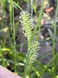
collected within 10 miles of Richard Sayles House between 1844 and 1974: 194 Plantae, 131 Animalia, 31 Fungi, 9 Protozoa, 3 Unrecorded, 2 Chromista.
12 distinct Species records are shown.
Collected by A. B. Seymour, A. R. Hodgdon; F. L. Steele, A. R. Hodgdon; F. L. Steele and others. Each is a
physical object with a catalogue
number, and each entry opens the museum's record. This is what was
collected and kept, not a survey of what lives here - nothing can be
concluded from a species being absent.
Regional context, not property-specific
evidence. The federal mineral resources record lists
14 workings within 5 miles of Richard Sayles House: 10 past producers, 3 producers, 1 unknown.
3 still produce. What was taken out: Sand and Gravel, Construction. Distance is straight-line from the
map coordinates, so a quarry counted here may appear on a neighbouring
settlement's page as well.
Regional context, not property-specific
evidence. The National Weather Service names
Uxbridge, the town this property stands in, in 6 storm reports between 1996 and 2021: 4 thunderstorm wind, 2 hail.
No death or injury is recorded in these reports. Each account below is quoted exactly as the forecast office
filed it, from the NOAA Storm Events Database, and each date
opens the federal record of that event.
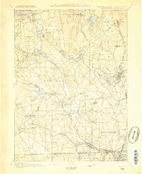
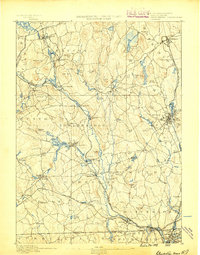
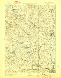
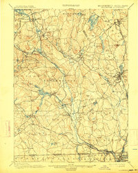
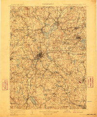
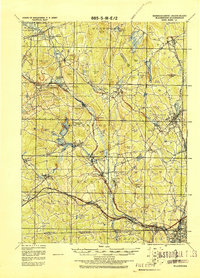
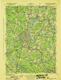
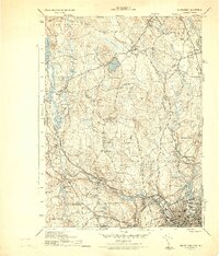
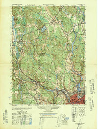
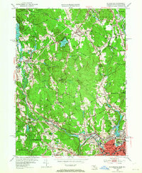
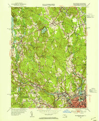
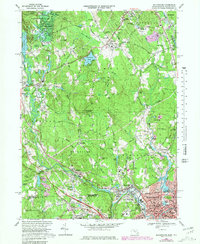
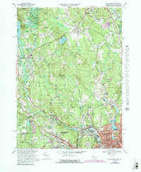
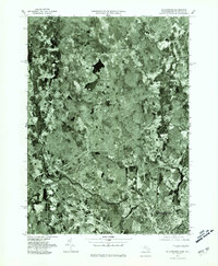
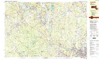
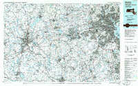
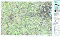
United States Geological Survey topographic
sheets whose coverage includes this point. Matched by taking the coordinate the National Park Service records for this property, then
testing that coordinate against the published boundary of every sheet.
When this property was proposed for the
National Register, someone wrote the case for it: what the building is,
and why it matters. That document is a federal record in the public domain.
It is reproduced in full on its own page, word for word and never summarised. The text was read off the scanned case file by machine, so the
occasional stray character is the recogniser's and the 1970s
typewriter's.
Quoted from the National Register nomination
for reference 83004131, 9 pages, held by the National Archives in Record
Group 79. See the
catalogue record.
Listed places nearby
6 within 8 miles
Other National Register properties close
enough to walk or drive between, ordered by distance from this one. Both
positions come from the same geocoding pass that matched these properties
to their map sheets.
Listing record. National Park Service National Register of Historic Places, listed-properties dataset, current to 2026-05-22.
Map join. Address geocoded through the United States Census geocoder, then tested against the published boundary of every sheet in the USGS Historical Topographic Map Collection.
How this page is made. Listing fields come from federal records; map-sheet coverage is a labelled coordinate-to-boundary calculation, not a source-field claim.
Wildfire. Short, Karen C. 2022. Spatial wildfire occurrence data for the United States, 1992-2020 [FPA_FOD_20221014]. 6th Edition. Fort Collins, CO: Forest Service Research Data Archive. https://doi.org/10.2737/RDS-2013-0009.6 Collected with United States Government funding and usable without additional permissions or fees.
Specimens. Global Biodiversity Information Facility (GBIF), https://www.gbif.org/. Only records licensed CC0 or CC BY are used. Records licensed CC BY-NC are excluded because this site carries advertising. Images are checked individually and any whose licence is non-commercial, no-derivatives or unreadable is refused.
Mines and quarries. USGS Mineral Resources Data System (MRDS) https://mrdata.usgs.gov/mrds/ A work of the United States government, no copyright under 17 U.S.C. 105.
Storms. NOAA National Centers for Environmental Information, Storm Events Database https://www.ncei.noaa.gov/stormevents/ A work of the United States government, no copyright under 17 U.S.C. 105. Narratives are quoted verbatim from the National Weather Service report and are not edited or summarised.
 Block