Photographs from the nomination case file, National Park Service records.
Chestnut Hill Meetinghouse
Listed on the National Register of Historic Places in
1984. A historic map-sheet match is not published yet. The record needs a coordinate-quality review before it can be joined to a sheet boundary.
From the record
one of 500 National Register listings in Worcester County · listed in 1984 · category: Building · one of 1 National Historic Landmarks in Worcester County.
National Register reference number.84000434- the number the National Park Service assigned this property when it was listed, and the key its nomination file is catalogued under at the National Archives.
Fires near this property
90 since 2002
Regional context, not property-specific
evidence. The
federal wildfire occurrence database
lists 90 fires within 5 miles of Chestnut Hill Meetinghouse between
2002 and 2020, burning about 70 acres in total. None started naturally. 6 were recorded as arson.
Distance is straight-line from the map coordinates, so a fire counted
here may appear on a neighbouring settlement's page as well.
Reported cause
Fires
Debris and open burning
31
Missing data/not specified/undetermined
21
Recreation and ceremony
13
Smoking
12
Arson/incendiarism
6
Railroad operations and maintenance
4
Equipment and vehicle use
2
Other causes
1
The most recent of
them, most recent first, with the day each was reported and the service
that recorded it.
Regional context, not property-specific
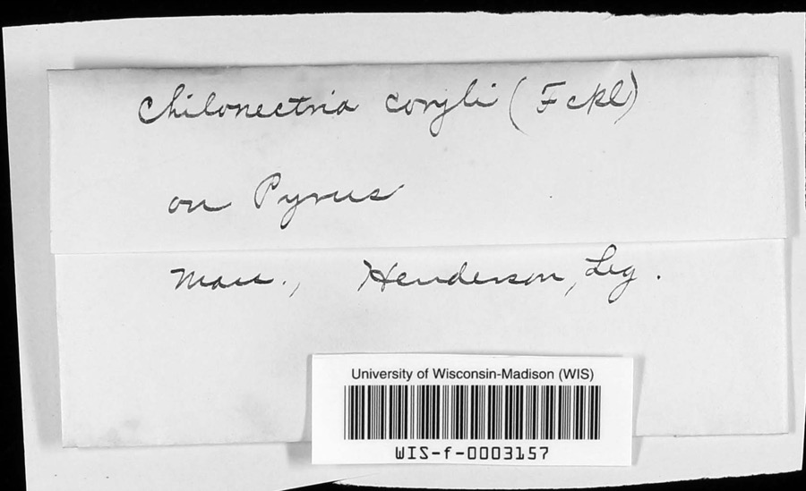
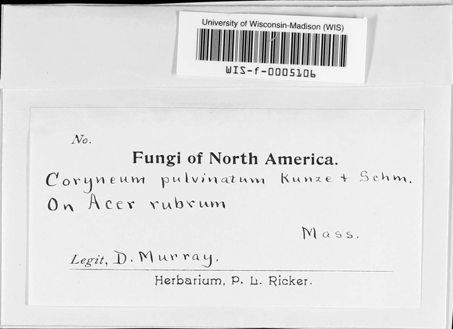
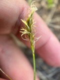
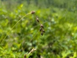
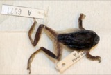
evidence. Museums hold 358 specimens
collected within 10 miles of Chestnut Hill Meetinghouse between 1844 and
1974: 186 Plantae, 128 Animalia, 30 Fungi, 9 Protozoa, 3 Unrecorded, 2 Chromista. 12 distinct Species records are shown.
Collected by A. B. Seymour, A. R. Hodgdon; F. L. Steele, A. R. Hodgdon; F. L. Steele and others. Each is a
physical object with a catalogue
number, and each entry opens the museum's record. This is what was
collected and kept, not a survey of what lives here - nothing can be
concluded from a species being absent.
Regional context, not property-specific
evidence. The federal mineral resources record lists
11 workings within 5 miles of Chestnut Hill Meetinghouse: 8 past producers, 2 producers, 1 prospect.
2 still produce. What was taken out: Sand and Gravel, Construction, Lead, Zinc. Distance is straight-line from the
map coordinates, so a quarry counted here may appear on a neighbouring
settlement's page as well.
Regional context, not property-specific
evidence. The National Weather Service names
Millville, the town this property stands in, in 7 storm reports between 1998 and 2019: 4 thunderstorm wind, 2 lightning, 1 flood.
No death or injury is recorded in these reports. Each account below is quoted exactly as the forecast office
filed it, from the NOAA Storm Events Database, and each date
opens the federal record of that event.
No historic map-sheet match is published
for this property yet. That does not mean no map exists. This record needs
a coordinate-quality review before it can be joined to a sheet boundary.
Browse the county's mapped places while that work is
pending.
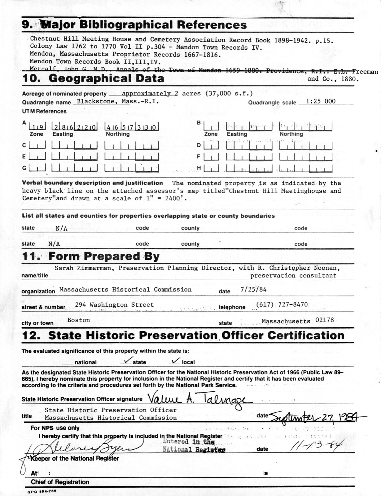
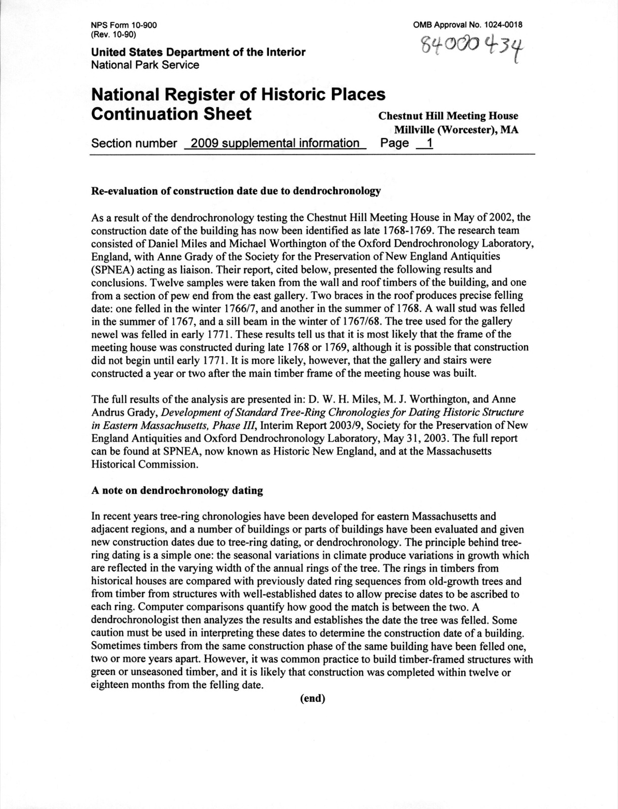
From the nomination file
4,363 words on record
When this property was proposed for the
National Register, someone wrote the case for it: what the building is,
and why it matters. That document is a federal record in the public domain.
It is quoted below word for word, never summarised. The text was read off the scanned case file by machine, so the
occasional stray character is the recogniser's and the 1970s
typewriter's.
Description of the property
The Chestnut Hill Meetinghouse is a late Georgian style building of timber frame construction. The meeting house, which was constructed in 1769, is a two and a half story structure of rectangular plan with a gable roof. The building is five bays wide by four bays deep and has dimensions of 40' x 35'. To the east of the meetinghouse is a small burying ground, separated from the meetinghouse by an iron fence. The building and its burying ground occupy an open, grassy site of approx- mately two acres.
Located approximately 14 miles north of the current town center of Millville, a small suburban/industrial town on the Blackstone River, the Chestnut Hill Meetinghouse and burying ground are set amidst an area of dispersed late 20th century residences, vacant agricultural land and woodlands of recent growth. and sood ando of seci Bri 0 EXTERIOR FEATURES The roof of the meetinghouse is of moderate slope and sheathed with white cedar shingles, applied in 1966. A small brick chimney, built in the 1860's for a wood stove, rises from the ridge at the east end of the structure. Butted wood clapboards, painted white, cover the walls of the meetinghouse, which are enframed with plain cornerboards, watertable and a simple cornice. The foundations are of drylaid, uncoursed granite and fieldstone.
There is no cellar or crawlspace. The principal elevation is the south facade, which contains nine double hung 12/12 sash arranged symmetrically around a central entrance. The frontispiece consists of double leaved doors (panelled, mid 19th century replacements) set within a plain case ornamented with applied moldings rising to a central keystone block. Fluted pilasters with rusticated bases and bearing rosettes in the freize flank the entrance and support a deep triangular pediment.
/Architect unknown Statement of Significance (in one paragraph) The Chestnut Hill Meetinghouse is an intact late Georgian style rural meetinghouse dating from 1769. It is significant for its excellent state of preservation and as a rare surviving example of the early New England meetinghouse type which is char- acterized by a central entrance on the long wall, directly opposite the centrally located pulpit. Historically, it is significant as the religious center from 1769 to 1%0 to 1830 of the South Parish of Mendon, Millville's parent town. It is additionally significant as an object of early preservation advocacy (1896). The meetinghouse site also contains the parish's ariginal burying ground, used for burials continuously since 1773.
The Chestnut Hill Meetinghouse and burying ground possess integrity of location, design, setting, materials, workmanship, feelings and association and meet criteria A and C of the National Register on the state level. Architecturally, the meetinghouse is one of approximately three dozen 18th century meeting- nouses of its type surviving in the state of Massachusetts and a very rare example of an 18th century rural meetinghouse retaining the majority of its fabric intact and unrestored. The only other example in Massachusetts of comparable integrity of materials, etc. is the Rocky Hill Meetinghouse (1785, NR 1972) in Amesbury, which postdates the Chestnut Hill meetinghouse by 16 years.
Other similar meetinghouses in New England include the Sandown (New Hampshire) meetinghouse (1773), the Rockingham (Vermont) meetinghouse (1787) and Saint Paul's, Wickford, Rhode Island (1707). In design, the meetinghouse is a typical example of the Protestant meetinghouse form which dominated New England ecclesiastical architecture in the 17th and 18th centuries. The Chestnut Hill Meetinghouse is characteristic of this type, with a rectangular form, gable roof and semi-domestic appearance.
Quoted from the National Register nomination
for reference 84000434, 20 pages, held by the National Archives in Record
Group 79. See the
catalogue record.
Listed places nearby
6 within 8 miles
Other National Register properties close
enough to walk or drive between, ordered by distance from this one. Both
positions come from the same geocoding pass that matched these properties
to their map sheets.
Listing record. National Park Service National Register of Historic Places, listed-properties dataset, current to 2026-05-22.
Map join. Address geocoded through the United States Census geocoder, then tested against the published boundary of every sheet in the USGS Historical Topographic Map Collection.
How this page is made. Listing fields come from federal records; map-sheet coverage is a labelled coordinate-to-boundary calculation, not a source-field claim.
Wildfire. Short, Karen C. 2022. Spatial wildfire occurrence data for the United States, 1992-2020 [FPA_FOD_20221014]. 6th Edition. Fort Collins, CO: Forest Service Research Data Archive. https://doi.org/10.2737/RDS-2013-0009.6 Collected with United States Government funding and usable without additional permissions or fees.
Specimens. Global Biodiversity Information Facility (GBIF), https://www.gbif.org/. Only records licensed CC0 or CC BY are used. Records licensed CC BY-NC are excluded because this site carries advertising. Images are checked individually and any whose licence is non-commercial, no-derivatives or unreadable is refused.
Mines and quarries. USGS Mineral Resources Data System (MRDS) https://mrdata.usgs.gov/mrds/ A work of the United States government, no copyright under 17 U.S.C. 105.
Storms. NOAA National Centers for Environmental Information, Storm Events Database https://www.ncei.noaa.gov/stormevents/ A work of the United States government, no copyright under 17 U.S.C. 105. Narratives are quoted verbatim from the National Weather Service report and are not edited or summarised.
 Block
Block