Listed on the National Register of Historic Places in
1984. A historic map-sheet match is not published yet. The record needs a coordinate-quality review before it can be joined to a sheet boundary.
From the record
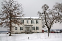
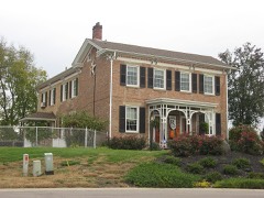
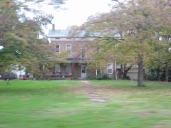
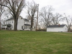
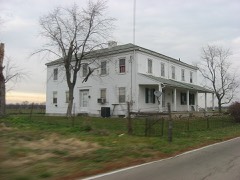
“Christian Ehresman Farm is a registered historic building near Trenton, Ohio, listed in the National Register on 1984-08-03.”
Wikipedia article Christian Ehresman Farm, CC BY-SA 4.0.
one of 63 National Register listings in Butler County · listed in 1984 · category: Building · one of 3 National Historic Landmarks in Butler County.
Also known as. Augspurger Amish/Mennonite Settlement TR
Township. Trenton city
National Register reference number.84002903- the number the National Park Service assigned this property when it was listed, and the key its nomination file is catalogued under at the National Archives.
Trenton is situated on the corners of Sections 5, 6, 31, and 32, about a mile from the Miami, on the great. highway which passes east and west, and was formerly known as the State road. It sprung from a colony of New Jersey people, who came here about the year 1800, headed by Deacon Michael Pearce and Elder Stephen Gard. Some of the members of this colony had come out previously, and their attachment to their native State was shown by the names they conferred upon the village which afterwards grew up there. Bloomfield was its first title. It was named after Governor Bloomfield, of New Jersey, who 'was one of the early successors of William Livingston, and who was also a United States Senator. Its plat was dedicated about 1815, but there was a cluster of houses there previously. When it reached the dignity of a postoffice it was found that there was another Bloomfield in the State, and the name was changed to Trenton, also in honor of New Jersey.
Littell, the first resident minister and doctor of the county. Trenton, indeed, is an older settlement than any other in our limits, except Hamilton, Rossville, and Middletown. The Rev. Mr. Gard organized the present death, August 14, 1839. He organized nearly all the Baptist Churches within the Miami Valley - Trenton, Middletown, Franklin, Hamilton, and the First Church of Dayton, and some others. He was born November 3, 1776, in Essex County, New Jersey. He received his education in a common school, except a few months in a private classical school in his native county. He was married to Rachel Pearce in 1801. He emigrated to Ohio about the end of the last century, making a temporary stay at Columbia, and moving to Trenton the same year. He came to Ohio in company with his father-in-law and family, Dr. Littell accompanying them.
Regional context, not property-specific
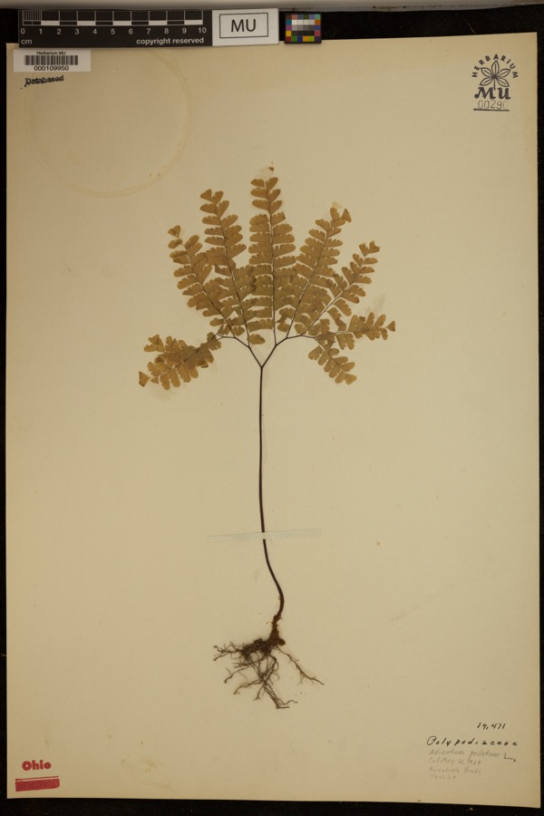
evidence. Museums hold 535 specimens
collected within 10 miles of Ehresman, Christian, Farm between 1835 and
1974: 378 Animalia, 121 Fungi, 35 Plantae, 1 Unrecorded. 12 distinct Species records are shown.
Collected by ?, A. C. Billups, A.R. Gaufin, H.H. Ross and others. Each is a
physical object with a catalogue
number, and each entry opens the museum's record. This is what was
collected and kept, not a survey of what lives here - nothing can be
concluded from a species being absent.
Regional context, not property-specific
evidence. The federal mineral resources record lists
6 workings within 5 miles of Ehresman, Christian, Farm: 3 producers, 3 past producers.
3 still produce. What was taken out: Sand and Gravel, Construction. Distance is straight-line from the
map coordinates, so a quarry counted here may appear on a neighbouring
settlement's page as well.
Regional context, not property-specific
evidence. The National Weather Service names
Trenton, the town this property stands in, in 21 storm reports between 1995 and 2025: 14 thunderstorm wind, 5 hail, 1 flash flood, 1 flood.
No death or injury is recorded in these reports. Each account below is quoted exactly as the forecast office
filed it, from the NOAA Storm Events Database, and each date
opens the federal record of that event.
No historic map-sheet match is published
for this property yet. That does not mean no map exists. This record needs
a coordinate-quality review before it can be joined to a sheet boundary.
Browse the county's mapped places while that work is
pending.
From the nomination file
1,076 words on record
When this property was proposed for the
National Register, someone wrote the case for it: what the building is,
and why it matters. That document is a federal record in the public domain.
It is quoted below word for word, never summarised. The text was read off the scanned case file by machine, so the
occasional stray character is the recogniser's and the 1970s
typewriter's.
Statement of significance
(in one paragraph) Quadrangle name UTM References justification of areas checked Verbal boundary description and justification Comments for any item may be continued on an attached sheet relationship of integrity to significance Maps _local Areas of Significance-Check and justify below .
Phone: Period Christian Ehresman Farm (#6) Mary Ann Brown, August, 1983, WSU Photographer facing northeast Christian Augspurger Amish Mennonite Settlement Butler County, Trenton vic., Ohio South and west facades plus modern garage in background Photographer facing northeast Butler County, Trenton vic., Ohio Christian Augspurger Amish Mennonite Settlement Christian Ehresman Farm (#6) Wesley Page, l983, Trenton Historical Society Face and south side of house Mennonite Settlement TR Christian Ehresman Farm (6) Wesley I.
Page, 1982 Christian Augspurger Amish Photographer facing East West Side of House Trenton Historical Society Christian Augspurger Amish Mennonite #22 Butler County, Trenton vicl, Ohio Wesley Page, l983, Trenton Historical Society Photographer facing southeast Front stairway in central entry hall Christian Ehresman Farm (#6) Wesley Page, l983, Trenton Historical Society Christian Ehresman Farm (#6) Front door in central entry hall Photographer facing west Christian Augspurger Amish Mennonite TR Butler County, Trenton vic., Ohio Butler County, Trenton vic., Ohio Front stairway Photographer facing east Wesley Page, 1983, Trenton Historical Society Christian Ehresman Farm (#6) Christian Augspurger Amish Wesley L- Page, 1982 Trenton Historical Society Christian Ehresman Farm Photographer facing East Mennonite Settlement T West Side of Summer Kitchen Multiple Property Cover Sheet Reference Number: 64000607 Please refer to the map in the Multiple Property Cover Sheet for this property
Quoted from the National Register nomination
for reference 84002903, 14 pages, held by the National Archives in Record
Group 79. See the
catalogue record.
Listed places nearby
6 within 8 miles
Other National Register properties close
enough to walk or drive between, ordered by distance from this one. Both
positions come from the same geocoding pass that matched these properties
to their map sheets.
Listing record. National Park Service National Register of Historic Places, listed-properties dataset, current to 2026-05-22.
Map join. Address geocoded through the United States Census geocoder, then tested against the published boundary of every sheet in the USGS Historical Topographic Map Collection.
How this page is made. Listing fields come from federal records; map-sheet coverage is a labelled coordinate-to-boundary calculation, not a source-field claim.
Specimens. Global Biodiversity Information Facility (GBIF), https://www.gbif.org/. Only records licensed CC0 or CC BY are used. Records licensed CC BY-NC are excluded because this site carries advertising. Images are checked individually and any whose licence is non-commercial, no-derivatives or unreadable is refused.
Mines and quarries. USGS Mineral Resources Data System (MRDS) https://mrdata.usgs.gov/mrds/ A work of the United States government, no copyright under 17 U.S.C. 105.
Storms. NOAA National Centers for Environmental Information, Storm Events Database https://www.ncei.noaa.gov/stormevents/ A work of the United States government, no copyright under 17 U.S.C. 105. Narratives are quoted verbatim from the National Weather Service report and are not edited or summarised.
 Block
Block