National Register reference number.84002922- the number the National Park Service assigned this property when it was listed, and the key its nomination file is catalogued under at the National Archives.
What happened here
An account from the chapter on Leominster city. The inset identifies its exact
source book and publication year.
Leominster haa an honorable war record. She would, indeed, be unworthy both of her ancestors and the times of her birth, if in all the struggles for liberty, she had not made full proof of her patriotism. It is true that the first settlers of the town had no personal experience of the tomahawk and the scalping-knife; but the story of what their fathers had suffered was a close remembrance ; and these hardy pioneers had barely time to build their rude homes, " establish God's house in the wilderness," connect the hill-tops by roads and erect here and there a mill to grind their corn and saw their logs, when the alarm of war sounded at the North, and the sword did not, for the next ihirty-and-five years, rest easy in its scabbard.
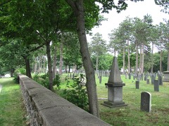
The next pastor was the Rev. Moses Harrington. In the first part of his ministry (June 28, 1837) the " branch " was organized as an independent church. Twenty-eight persons constituted this iofant church. The ministry of Mr. Harrington continued until 1840, and his succes.sor, David Goddard, Jr., was ordained on June 3d of that year. He continued in the office here until Feb. 4, 1843. Of Mr. Goddard the Rev. Mr. Mason says : " He was a reformer, taking high ground against slavery, intemperance and worldly amusements. He led the church as a body to pledge themselves to total abstineuce and the disfellowshiping of slave-holders. He also framed the following clause which was inserted in the church covenant: 'We will also carefully refrain from spending our time idly at tKverns, in parties of worldly pleasure, or in trifling company.' He preached a sermon, which is represented as a powerful discourse, against the wearing by the sisters of roses in their bonnets; and such was the effect that every sister immediately dismantled her head-gear of all ornaments, and put them back again within three weeks." His grave is in Leominster.
The other pastors of this church were David Goddard, Sr., William S. Wilder, Isaiah C. Carpenter, David Taylor and B. H. Clifts. With the end of this last pastorate the Leominster Baptist Church cea,sed to be ; the last entry in its records bearing date October 27, 1849, three weeks after the resignation of Rev. B. H. Clifts. The difficulties were too many and the burdens too heavy for their strength. The people refused to contribute longer to the repairs of a church so badly located and to the support of preaching in a house not fit for public worship. The church was (lisbalided. At this distance of time and under our changed circumstances it would not be well to pass judgment on the wisdom of this action ; but it does not seem wholly clear why it was necessary to disband the old church and lose all its associations if a new church of the same faith was to be organized within six months. Perhaps it was a matter of local necessity.
Regional context, not property-specific
evidence. The
federal wildfire occurrence database
lists 187 fires within 5 miles of Wellington Piano Case Company Building
between 2015 and 2020, burning about 167 acres in total. None started naturally. None was recorded as arson.
Distance is straight-line from the map coordinates, so a fire counted
here may appear on a neighbouring settlement's page as well.
Reported cause
Fires
Debris and open burning
81
Missing data/not specified/undetermined
66
Smoking
26
Recreation and ceremony
13
Power generation/transmission/distribution
1
The most recent of
them, most recent first, with the day each was reported and the service
that recorded it.
Regional context, not property-specific
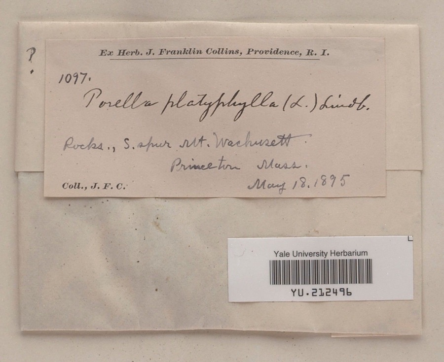
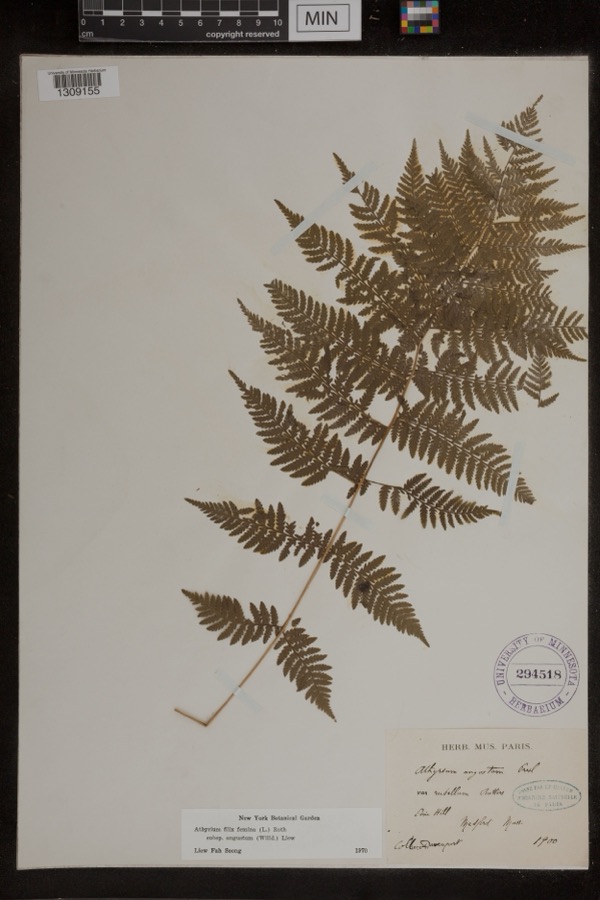
evidence. Museums hold 1,757 specimens
collected within 10 miles of Wellington Piano Case Company Building between 1864 and 1974: 1,057 Animalia, 505 Plantae, 176 Fungi, 8 Unrecorded, 8 Chromista, 3 Protozoa.
12 distinct Species records are shown.
Collected by A. B. Seymour, A. C. Gibson, A. Ferrett and others. Each is a
physical object with a catalogue
number, and each entry opens the museum's record. This is what was
collected and kept, not a survey of what lives here - nothing can be
concluded from a species being absent.
Regional context, not property-specific
evidence. The federal mineral resources record lists
9 workings within 5 miles of Wellington Piano Case Company Building: 4 past producers, 2 occurrences, 2 producers, 1 unknown.
2 still produce. What was taken out: Sand and Gravel, Construction, Stone, Crushed/Broken, Lithium, Tin, Tin, Lithium. Distance is straight-line from the
map coordinates, so a quarry counted here may appear on a neighbouring
settlement's page as well.
Regional context, not property-specific
evidence. The National Weather Service names
Leominster, the town this property stands in, in 28 storm reports between 1998 and 2024: 12 thunderstorm wind, 8 flash flood, 3 lightning, 3 flood.
No death or injury is recorded in these reports. Each account below is quoted exactly as the forecast office
filed it, from the NOAA Storm Events Database, and each date
opens the federal record of that event.
The Nashua River at Clinton rose to flood stage after three to six inches of rain fell across Worcester County. Two factories in Clinton were closed after ten feet of water flooded the basements. In addition, two to three hundred feet of railroad tracks were washed out. Several cars were submerged in flood waters throughout Clinton. Two sections of Clinton were flooded: the Main and Church Streets area, where Coachlace Pond overflowed a culvert and the Water Street section near the Nashua River. Many streets were closed and several businesses along Main Street were damaged by floodwaters. The U-Haul storage facility on High Street was flooded. Several apartments throughout town were evacuated, but no concrete numbers were reported. The overflow from Coachlace Pond washed out a rail bed, dislodging the tracks and halting trains.||Several smaller brooks and streams also overflowed their banks resulting in basements, parking lots, and yards flooding in Leominster, Clinton, and Westminster. Near the Mall at Whitney Field in Leominster, two vehicles were submerged and their drivers rescued when the Monoosnock Brook overflowed its banks, one was an armored car. Several roads in Leominster, Lancaster, Fitchburg, Sterling, and Westminster were closed due to flooding.
A lightning strike sparked a large house fire at 41 Bicentennial Drive in Leominster on the 16th. A family pet (dog) was killed in the fire. The fire caused nearly $300,000 in damage to the house.
Leominster: Lancaster Street under the bridge was flooded. Cars were stuck in flood waters on Route 117 by the shopping plaza. Manhole covers were pushed out by flooding on West Street. The police department parking lot was flooded. Three cars were stuck in flood waters on Mechanic Street. Central Street was flooded with three feet of water.||Fitchburg: Water was a foot deep on John Fitch Highway and the adjoining parking lot.
Several roads were flooded with water up to the car bumpers and people being rescued. Two homes were also flooded, one on Willard Street and another on Johnson Street. Phone service was out at these homes.
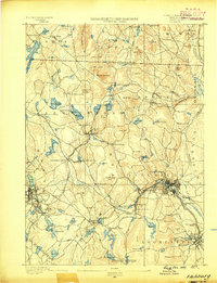
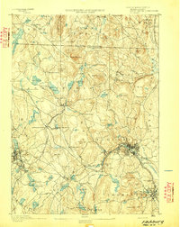
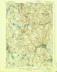
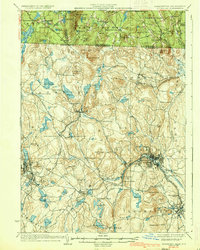
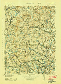
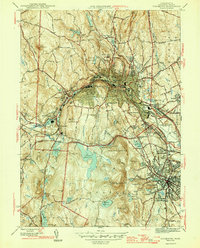
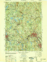
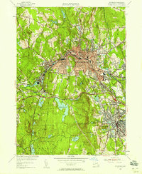
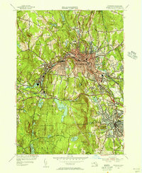
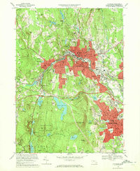
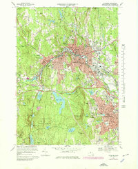
United States Geological Survey topographic
sheets whose coverage includes this point. Matched by taking the coordinate the National Park Service records for this property, then
testing that coordinate against the published boundary of every sheet.
When this property was proposed for the
National Register, someone wrote the case for it: what the building is,
and why it matters. That document is a federal record in the public domain.
It is quoted below word for word, never summarised. The text was read off the scanned case file by machine, so the
occasional stray character is the recogniser's and the 1970s
typewriter's.
Description of the property
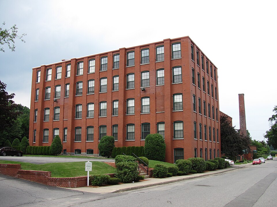
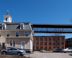
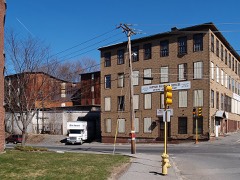
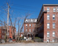
The Wellington Piano Case Company Building is located on a 1.5 acre irregularly-shaped parcel on the west side of Green Street, approximately 2/3 mile north of Leominster's central business district. The property is bounded on the north, east, and south by modest late 19th-early 20th century frame housing and on the west by the tracks of the Old Colony Railroad which separates the property from North Main Street, and an open shopping center. The brick factory building consists of three attached major sections ranging from two to four stories. The original building, erected in 1895, forms the middle and north sections (see attached site plan).
The middle section, which is the principle edifice, asstoostotos ees trantyflattedostand toasereroocreeiatedootae ee cete., urally the structure is typical of the functionalism of late 19th century mill buildings the walls are enlivened with full length recessed window bays which terminate in four rows of corbelling and a cornice of' alterating recessed brick. Fenestration is regularly spaced, with 6/6 rectangular sash set within segmentally arched window openings with granite sills. The upper sash has been replaced with plywood panels. At the ground level of the tower's east wall is the main entrance: a replacement door beneath a four-light transom on the left, and ca. 1920s paired wood-paneled loading doors resting on a granite sill on the right.
A granite lintel with painted lettering spans the two openings. Remaining doors, located at the southeast and northwest corners of this section, are mid- late 20th century. On the west (rear) elevation is an attached one-story frame shed, added ca. 1940. At the north end of the original four-story section is a two-story, flat-roofed wing, extending approximately 150' The south end, built of brick, was constructed as a dry house contemporaneously. winih te prnnnl bedng.
(in one paragraph) Builder/Architect Unknown The Wellington Piano Case Company Building possesses integrity of location, design, setting materials, and workmanship. The building is associated with one of Leominster's major industries of the period, piano and piano case manufacturing, and is representative of the type and method of construction typical of late 19th century industrial structures in New England. The property thus meets Criteria A and C of the National Register of Historic Places. Piano and piano case manufacturing was introduced in Leominster in 1845 as a cottage industry.
Within a few decades it had expanded into a haif-dozen major companies and had become a vital part of the industry of northern Worcester County; both relied on raw materials from northern New England and a good supply of skilled craftsmen. Leominster was the leader in Worcester County in the manufacture of pianos and piano, cases. Other conmunitiesinvolvedintheindestryattheturecfedeeesearee ofrene wookda submerged under Quabbin Resevoir) but none approached the scale of the works minster. In 1875 pianos and piano forc cases accounted for about 6% of Leominster's total value of goods manufactured ($130,000 out of $2 million). In 1895 a total of six firms with an unknown value existed in the city. By the 1920s, production probably exceeded $1 million.
The Wellington Piano Case Company Building is one of three surviving piano complexes in the city, and one of, two identified as eligible for the National Register in a recent citywide survey. Incorporated in 1895 by Frank E. Wellington and capitalized at $500,000, the company was the last firm of that industry to be founded in Leominster, though its period of operation coincided with the height of piano manufacturing in Boston.
Quoted from the National Register nomination
for reference 84002922, 12 pages, held by the National Archives in Record
Group 79. See the
catalogue record.
Listed places nearby
6 within 8 miles
Other National Register properties close
enough to walk or drive between, ordered by distance from this one. Both
positions come from the same geocoding pass that matched these properties
to their map sheets.
Listing record. National Park Service National Register of Historic Places, listed-properties dataset, current to 2026-05-22.
Map join. Address geocoded through the United States Census geocoder, then tested against the published boundary of every sheet in the USGS Historical Topographic Map Collection.
How this page is made. Listing fields come from federal records; map-sheet coverage is a labelled coordinate-to-boundary calculation, not a source-field claim.
Wildfire. Short, Karen C. 2022. Spatial wildfire occurrence data for the United States, 1992-2020 [FPA_FOD_20221014]. 6th Edition. Fort Collins, CO: Forest Service Research Data Archive. https://doi.org/10.2737/RDS-2013-0009.6 Collected with United States Government funding and usable without additional permissions or fees.
Specimens. Global Biodiversity Information Facility (GBIF), https://www.gbif.org/. Only records licensed CC0 or CC BY are used. Records licensed CC BY-NC are excluded because this site carries advertising. Images are checked individually and any whose licence is non-commercial, no-derivatives or unreadable is refused.
Mines and quarries. USGS Mineral Resources Data System (MRDS) https://mrdata.usgs.gov/mrds/ A work of the United States government, no copyright under 17 U.S.C. 105.
Storms. NOAA National Centers for Environmental Information, Storm Events Database https://www.ncei.noaa.gov/stormevents/ A work of the United States government, no copyright under 17 U.S.C. 105. Narratives are quoted verbatim from the National Weather Service report and are not edited or summarised.
 Block