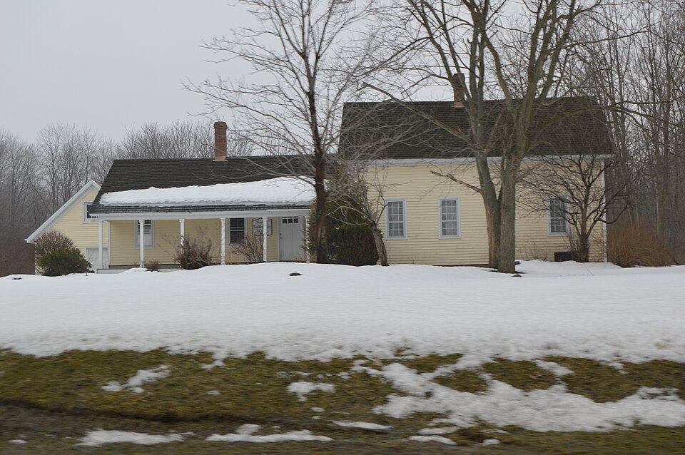
Listed on the National Register of Historic Places in
1984. A historic map-sheet match is not published yet. The record needs a coordinate-quality review before it can be joined to a sheet boundary.
From the record
one of 11 National Register listings in Geauga County · listed in 1984 · category: Building.
National Register reference number.84003695- the number the National Park Service assigned this property when it was listed, and the key its nomination file is catalogued under at the National Archives.
What happened here
An account from the chapter on Russell township, The inset identifies its exact
source book and publication year.
On the morning of September 13, 1878, the Chagrin river rose higher than it had ever been known to rise before. It had been raining steadily for three days, the rain falling in torrents on the night of the twelfth. The destruction of property was very great Cattle, sheep, fences, fields of grain, mill-dams and bridges were swept away.
Regional context, not property-specific
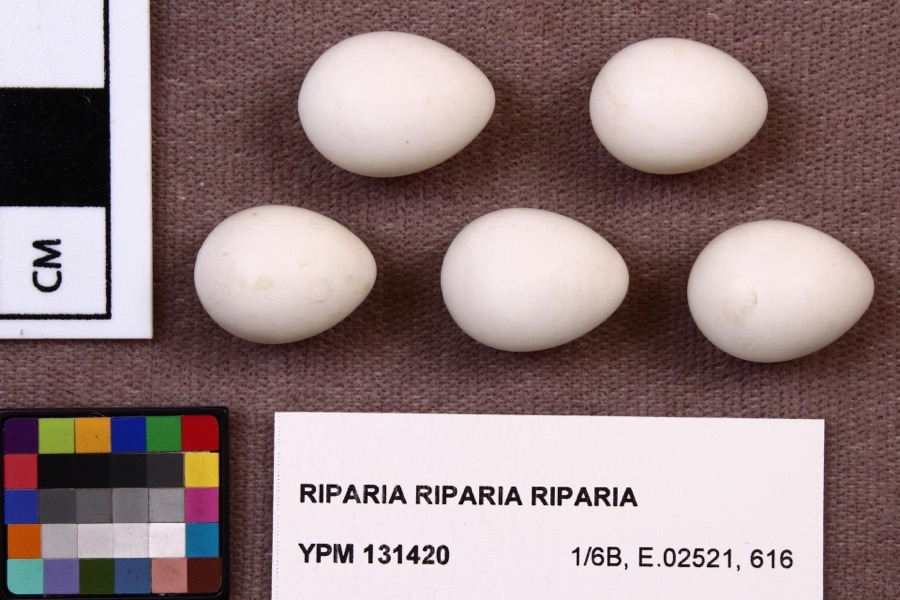
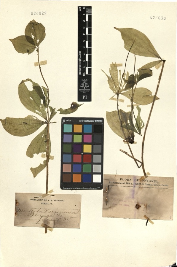
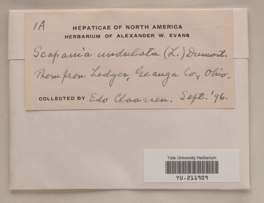
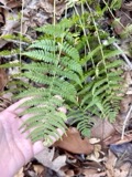
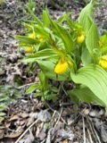
evidence. Museums hold 2,794 specimens
collected within 10 miles of Tambling, Lucius T., House between 1887 and
1975: 2,727 Animalia, 60 Plantae, 7 Fungi. 12 distinct Species records are shown.
Collected by A. Hoenigman, A. M. Evans, A. Woolman and others. Each is a
physical object with a catalogue
number, and each entry opens the museum's record. This is what was
collected and kept, not a survey of what lives here - nothing can be
concluded from a species being absent.
Regional context, not property-specific
evidence. The National Weather Service names
Novelty, the town this property stands in, in 4 storm reports between 1998 and 2026: 3 hail, 1 tornado.
No death or injury is recorded in these reports. Each account below is quoted exactly as the forecast office
filed it, from the NOAA Storm Events Database, and each date
opens the federal record of that event.
An EF1 tornado with estimated peak winds of 100-mph impacted the Chesterland area. Radar data indicate this was a rare anticyclonic tornado. The tornado began just northeast of the intersection of Watt Road and Fairmount Road, where a large barn had its roof collapse. As the tornado moved generally eastward, it downed several large pine trees onto a house along Fairmount Road, about halfway between Watt and Sperry Roads, but there was no obvious damage to the home. A power pole was snapped in half at this same location. Farther east along Fairmount Road, the tornado downed additional large pine trees. One of the trees fell onto a home and caused some roof and gutter damage. The tornado ended soon thereafter, just west-northwest of the intersection of Fairmount and Rockhaven Roads.
No historic map-sheet match is published
for this property yet. That does not mean no map exists. This record needs
a coordinate-quality review before it can be joined to a sheet boundary.
Browse the county's mapped places while that work is
pending.
From the nomination file
2,397 words on record
When this property was proposed for the
National Register, someone wrote the case for it: what the building is,
and why it matters. That document is a federal record in the public domain.
It is quoted below word for word, never summarised. The text was read off the scanned case file by machine, so the
occasional stray character is the recogniser's and the 1970s
typewriter's.
Description of the property
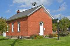
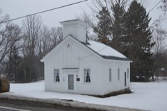
The placement of building and its orientation to the road have been maintained on the new eight bays long, the windows are nine-over-six double hung with wood muntins and plain The house was moved in 1982 across Chillicothe Road to the site of the original two-room excellent story wing of the farmhouse which was completed in 1854.Original log joists are still roofline displaysa plain entablature with an enlarged plain frieze.Three bays wide by deteriorated in Russell township is rural with excellent farmland.The house retains a high degree of The porch roof overhang terminates on the gable side to suggest cornice returns.The building is been no major alterations.The present owners have been repairing the house by replacing Porches extend across the length of the front and rear of the one story wing.
The Lucius T. Tambling house is a two story with one story wing Greek Revival style -archeology-historic : 1500-1599 X architecture X 1800-1899 State, which migrated westward to the upper midwest during the ninteenth century. This Revival style through its basic form, entablature with enlarged frieze, gable end cornice Features of the house such as the fine, hand tooled fieldstone foundation, pegged nine As a banker, he loaned his money and seed potatoes to neighboring farmers, holding their 1600-1699 1700-1799 1400-1499 education communications philosophy commerce industry engineering literature humanitarian military War.
theater Period science music prehistoric exploration/settlement social/ sculpture law 1900- -economics tional upright and wing Greek Revival style farmhouse commonly associated with the north- returns and multi-paned windows with plain surrounds. farmhouse in Russell township.
(in one paragraph) owned over a thousand acres of good farmland.Land was given to his church;Disciples unique example of the building form in Russell township. -conservation The house is one-and-a-half stories with gable roof and a one story wing with double township of land and a one room school house which served that purpose for sixty years. -transportation of the building type and style as well as several distinct variations which make it a one of the porch sides of the wing serves as the main entrance since this side of the house faces the road. Therefore, the ridge side of both the wing and story and half portion of the house read as the facade even though there is a door located on the gable side of the _invention example of a home appropriate for a prominent and successful citizen.
Areas of Significance-Check and justify below Reserve farmhouse contains 1200 to1500 square feet.The Tamb1ing house has over 2200 as the facade. _agriculture other (specify) .archeology-prehistoric community planning landscape architecture an upright and wing. This is a common New England house form, particularly in New York farmer, banker/land speculator, educator and churchman. As a successful potato farmer, land as collateral. This led to substantial property holdings, and by 1874 Tambling Builder/Architect Lucius Tilden Tambling The building deviates from the building type in its size and plan. The average Western The one story wing extends backward from the story and half gable end facade. The door on story and half portion of the house.
This placement of elements emphasizes the unique Lucius I. Tambling came to Ohio from Cooperstown, New York in 1835.
Quoted from the National Register nomination
for reference 84003695, 18 pages, held by the National Archives in Record
Group 79. See the
catalogue record.
Listed places nearby
2 within 8 miles
Other National Register properties close
enough to walk or drive between, ordered by distance from this one. Both
positions come from the same geocoding pass that matched these properties
to their map sheets.
Listing record. National Park Service National Register of Historic Places, listed-properties dataset, current to 2026-05-22.
Map join. Address geocoded through the United States Census geocoder, then tested against the published boundary of every sheet in the USGS Historical Topographic Map Collection.
How this page is made. Listing fields come from federal records; map-sheet coverage is a labelled coordinate-to-boundary calculation, not a source-field claim.
Specimens. Global Biodiversity Information Facility (GBIF), https://www.gbif.org/. Only records licensed CC0 or CC BY are used. Records licensed CC BY-NC are excluded because this site carries advertising. Images are checked individually and any whose licence is non-commercial, no-derivatives or unreadable is refused.
Storms. NOAA National Centers for Environmental Information, Storm Events Database https://www.ncei.noaa.gov/stormevents/ A work of the United States government, no copyright under 17 U.S.C. 105. Narratives are quoted verbatim from the National Weather Service report and are not edited or summarised.
 Block
Block