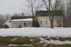
Listed on the National Register of Historic Places in
1982. A historic map-sheet match is not published yet. The record needs a coordinate-quality review before it can be joined to a sheet boundary.
From the record
one of 11 National Register listings in Geauga County · listed in 1982 · category: Building.
National Register reference number.82001463- the number the National Park Service assigned this property when it was listed, and the key its nomination file is catalogued under at the National Archives.
Regional context, not property-specific
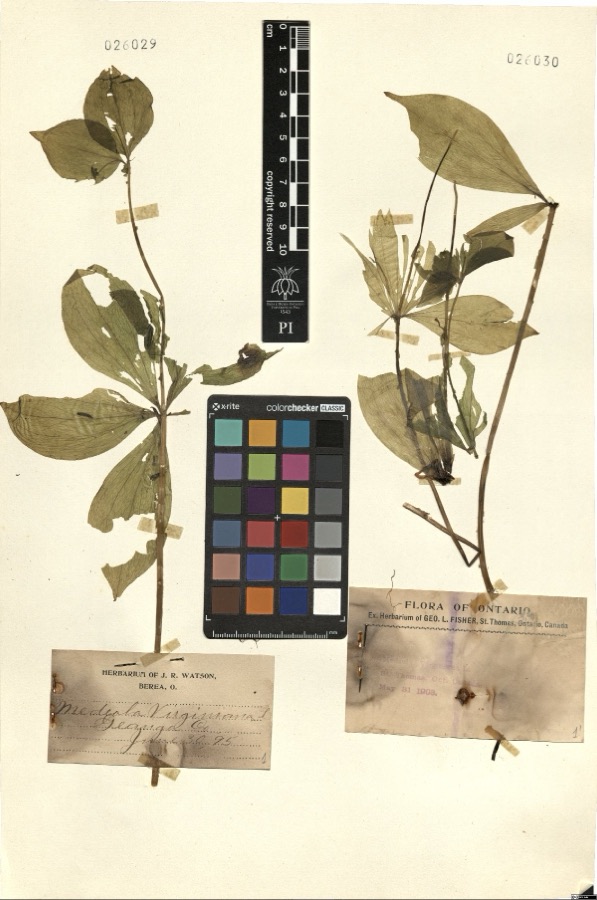
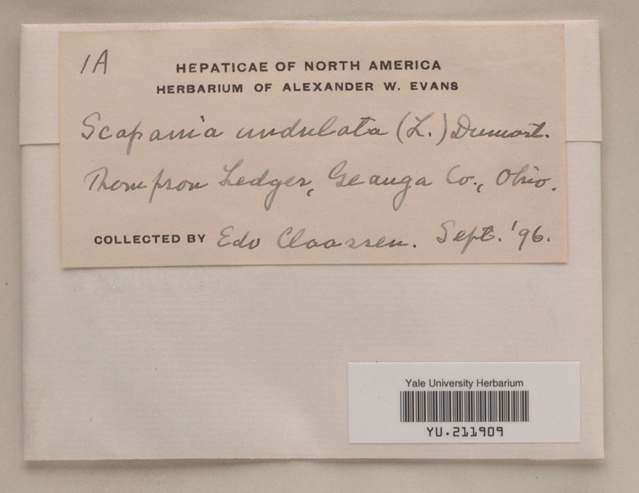
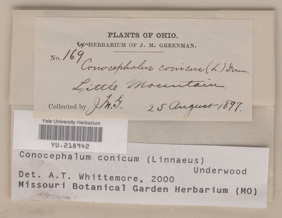
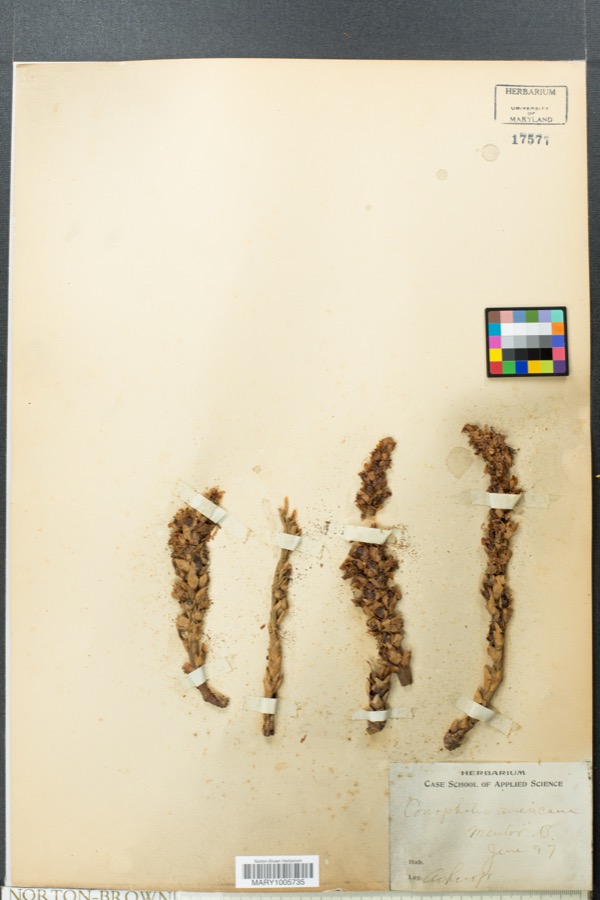
evidence. Museums hold 2,552 specimens
collected within 10 miles of Chester Township District School No. 2 between 1887 and
1975: 2,500 Animalia, 41 Plantae, 9 Fungi, 1 Chromista, 1 Unrecorded. 12 distinct Species records are shown.
Collected by A. Hoenigman, A. Woolman, Aldritch, J W and others. Each is a
physical object with a catalogue
number, and each entry opens the museum's record. This is what was
collected and kept, not a survey of what lives here - nothing can be
concluded from a species being absent.
Regional context, not property-specific
evidence. The National Weather Service names
Chesterland, the town this property stands in, in 34 storm reports between 1994 and 2024: 22 thunderstorm wind, 11 hail, 1 flash flood.
No death or injury is recorded in these reports. Each account below is quoted exactly as the forecast office
filed it, from the NOAA Storm Events Database, and each date
opens the federal record of that event.
A thunderstorm downburst heavily damaged a private school building along U.S. Route 322 east of Chesterland. Winds estimated to be at least 70 mph caused the roof above the gymnasium to collapse. Trees and limbs were downed in the same area. No injuries were reported.
Thunderstorm downburst winds tore the roof off of a commercial building in Chesterland. A few trees and large limbs in the area were also knocked down resulting in scattered power outages.
Tree downed three miles SSE of Chesterland. Another tree downed at Sperry and Fairmount Roads, southeast of Chesterland. Third tree downed along Munn Road farther southeast of Chesterland.
No historic map-sheet match is published
for this property yet. That does not mean no map exists. This record needs
a coordinate-quality review before it can be joined to a sheet boundary.
Browse the county's mapped places while that work is
pending.
From the nomination file
1,406 words on record
When this property was proposed for the
National Register, someone wrote the case for it: what the building is,
and why it matters. That document is a federal record in the public domain.
It is quoted below word for word, never summarised. The text was read off the scanned case file by machine, so the
occasional stray character is the recogniser's and the 1970s
typewriter's.
Description of the property
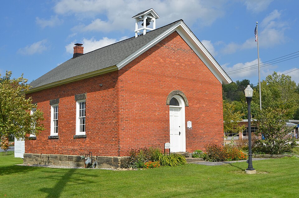
The exterior of the schoolhouse measures 32 ft.1inch by 23 ft.2 inches.It is A bell is locatedon the center front of the roof.The only ornamental design is a door, there is a foyer with an enclosed cloak room to the right, a door from the foyer date heat.Electricity has also been installed with lights in all areas.The schoolroom restoration some brickshad tobe replaced due to theft and damage.Since the original made of brick with Berea Grit stone foundation with the same over the doorway and new wooden shingles..There is a chimney located at the back center of the building. - archeology-historic - agriculture - sculpture X education _ social/ - philosophy _ theater - politics/government .transportation .other (specify) c. 1847 was never used for any purpose other than education.
Standing on its original site, it before 1860, an oral interview with a teacher who was at the school in 1908-1909 stated that District School #2 was erected around 1847. School after its crossroad community, was one of the last abandoned. Although six of the seven schools remain, all have been adapted and remodeled either for residential or commercial use, with the exception of School #2. It was used until 1926, when a central Walter C. White estate (National Register, 10-8-76). a historical park, and the Chesterland Chamber of Commerce Historical Foundation acquired school and its present use as a representation of the educational heritage of the township. 1600-1699 1500-1599 commerce 1400-1499 1700-1799 conservation architecture invention park.
humanitarian engineering communications X1800-1899 industry Period exploration/settlement science Specific dates prehistoric literature 1900- music law the strongest association with educational purposes through its singular service as a 8.
Statement of significance
(in one paragraph) The first schoolhouse in Chester was erected in 1810,and by 1834 there were seven In 1972 the school building and five acres were offered to the Chesterland Chamber of the property in 1874.The school has been restored and furnished, and in 198l the At least two of the schools were retired even before1900,and School #2,called Scotland -art - archeology-prehistoric community planning Commerce with the stipulation that the school be restored and the property turned into Chester Town Hall was brought to the site from Chester Center to become a part of the 9.
Quoted from the National Register nomination
for reference 82001463, 10 pages, held by the National Archives in Record
Group 79. See the
catalogue record.
Listed places nearby
1 within 8 miles
Other National Register properties close
enough to walk or drive between, ordered by distance from this one. Both
positions come from the same geocoding pass that matched these properties
to their map sheets.
Listing record. National Park Service National Register of Historic Places, listed-properties dataset, current to 2026-05-22.
Map join. Address geocoded through the United States Census geocoder, then tested against the published boundary of every sheet in the USGS Historical Topographic Map Collection.
How this page is made. Listing fields come from federal records; map-sheet coverage is a labelled coordinate-to-boundary calculation, not a source-field claim.
Specimens. Global Biodiversity Information Facility (GBIF), https://www.gbif.org/. Only records licensed CC0 or CC BY are used. Records licensed CC BY-NC are excluded because this site carries advertising. Images are checked individually and any whose licence is non-commercial, no-derivatives or unreadable is refused.
Storms. NOAA National Centers for Environmental Information, Storm Events Database https://www.ncei.noaa.gov/stormevents/ A work of the United States government, no copyright under 17 U.S.C. 105. Narratives are quoted verbatim from the National Weather Service report and are not edited or summarised.
 Block
Block