 Block
BlockFrom the record
one of 30 National Register listings in Warren County · listed in 1985 · category: Building.
Sources: the case file at the National Archives · the National Register database, National Park Service
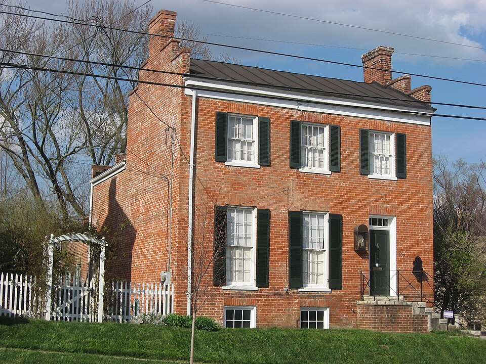
Listed on the National Register of Historic Places in 1985. A historic map-sheet match is not published yet. The record needs a coordinate-quality review before it can be joined to a sheet boundary.
one of 30 National Register listings in Warren County · listed in 1985 · category: Building.
Sources: the case file at the National Archives · the National Register database, National Park Service
Regional context, not property-specific evidence. Museums hold 3,361 specimens collected within 10 miles of Smith-Davis House between 1844 and 1975: 3,124 Animalia, 158 Fungi, 65 Plantae, 11 Unrecorded, 3 Protozoa. 12 distinct Species records are shown. Collected by 14529, A. Gaufin, A. J. Mix and others. Each is a physical object with a catalogue number, and each entry opens the museum's record. This is what was collected and kept, not a survey of what lives here - nothing can be concluded from a species being absent.
| Image | Species | Year | Collected by | Where, as recorded |
|---|---|---|---|---|
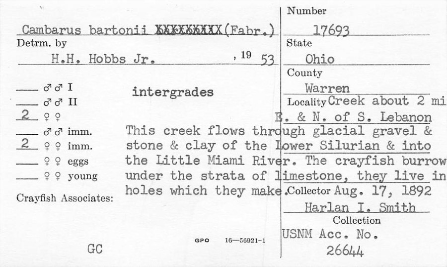 | Cambarus bartonii (Fabricius, 1798) | 1892 | H. Smith | Creek About 2 Mile NE Of South Lebanon |
 | Polyporus dryophilus Berk. | 1844 | Lea T. G. | Waynesville |
 | Lampsilis ovata (Say, 1817) | 1862 | Whiteaves, Joseph F. | Little Miami Riv., Warren Co. |
 | Ptychobranchus fasciolaris (Rafinesque, 1820) | 1862 | Whiteaves, Joseph F. | Little Miami Riv., Warren Co. |
 | Colinus virginianus virginianus (Linnaeus, 1758) | 1878 | Collector(s): unknown | Foster Point |
 | Actinonaias ligamentina (Lamarck, 1819) | 1879 | Whiteaves, Joseph F. | Little Miami Riv., Warren Co. |
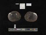 | Megalonaias gigantea (Barnes, 1823) | 1879 | Whiteaves, Joseph F. | Great Miami Riv. |
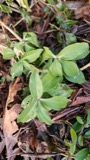 | Saponaria officinalis L. | 1881 | not recorded | Lebanon |
 | Achillea millefolium subsp. millefolium | 1884 | Bennett, F.G. | Lebanon |
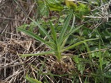 | Agrostemma githago L. | 1884 | Bennerht, F.G. | Lebanon |
 | Anthemis cotula L. | 1884 | Bennett, F.G. | [Lebanon] |
 | Asclepias syriaca L. | 1884 | Berrerlt, F.G. | near Lebanon |
All 3,361 specimens within 10 miles, at the Global Biodiversity Information Facility.
Regional context, not property-specific evidence. The federal mineral resources record lists 5 workings within 5 miles of Smith-Davis House: 3 producers, 1 plant, 1 past producer. 4 still produce. What was taken out: Sand and Gravel, Construction. Distance is straight-line from the map coordinates, so a quarry counted here may appear on a neighbouring settlement's page as well.
| Where | Site | Commodity | Status | Recorded |
|---|---|---|---|---|
| Clark Pit & Mill | Sand and Gravel, Construction | Plant | ||
| Dravo South Lebanon Plant | Sand and Gravel, Construction | Producer | ||
| Freeze Pit | Sand and Gravel, Construction | Past Producer | ||
| Mason Pit & Mill | Sand and Gravel, Construction | Producer | ||
| Watson Pit | Sand and Gravel, Construction | Producer |
Regional context, not property-specific evidence. The National Weather Service names Lebanon, the town this property stands in, in 81 storm reports between 1994 and 2025: 39 thunderstorm wind, 22 hail, 9 flash flood, 9 flood. No death or injury is recorded in these reports. Each account below is quoted exactly as the forecast office filed it, from the NOAA Storm Events Database, and each date opens the federal record of that event.
| When | Event | Place named | Harm | What the report says |
|---|---|---|---|---|
| April 2015 | Thunderstorm Wind | Lebanon | $250,000 | Straight line winds blew a side wall out of a house's garage and roof damage occurred to about 30 additional homes. Numerous large trees were also knocked down. |
| May 2024 | Tornado (EF1) | South Lebanon | $200,000 | The tornado first formed in South Lebanon with primarily minor tree damage observed for several city blocks on the northeast side of town. Broken limbs were found along Pike Street, Claude Street, and Sunset Drive. Minor damage to an outbuilding was found on the south side of Claude Street. ||The next evidence of the tornado was found in a field to the west of Shawhan Road, where striations were evident in the tall grass of the field. The tornado moved east-northeast across Shawhan Road, causing extensive tree damage on the east side of the road. ||A few residences along Shawhan Road sustained minor roof damage, but one detached garage had total roof removal and partial wall collapse. Winds here were estimated to be 90 mph, or low end EF-1. The tornado continued east-northeast, causing additional tree and structural damage to homes along Browning Lane. As the tornado moved back across Shawhan Road, additional tree and minor structural damage to residences was noted between Shawhan and Stubbs Mill Road. The tornado appeared to end near Stubbs Mill Road. |
| March 2001 | Thunderstorm Wind | Lebanon | $50,000 | A roof was blown off a paper factory and trees were knocked down. |
| April 2011 | Thunderstorm Wind | Lebanon | $30,000 | A garage was damaged and a roof was partially torn off of a house due to damaging thunderstorm winds. |
| March 2008 | Flash Flood | South Lebanon | $30,000 | Voluntary evacuations due to high water in South Lebanon. One home was surrounded by water along Mason-Morrow-Millgrove Road just east of South Lebanon. Todds Fork came out of its bank in Morrow, forcing the closure of US Route 22/State Route 3 in town. Numerous other roads were flooded across the southern part of the county, particularly near Landen in Deerfield Township and in Harlan Township. |
| April 2006 | Thunderstorm Wind | Lebanon | $25,000 | A house sustained major roof damage near the intersection of State Routes 48 and 122. Trees were downed around the residence as well. |
| May 2024 | Tornado (EF0) | Lebanon | $20,000 | The tornado began near a residence along State Route 123, about a half mile east of State Route 48. Damage mainly consisted of a few downed trees, power poles and minor roof damage. A water tank from farm equipment was tossed into a field behind the residence. Sporadic tree damage continued to the east-northeast across Wilmington Road before the tornado ended. Based on the damage, maximum winds were estimated to be 65 mph, or low end EF-0. |
| June 2003 | Flash Flood | Lebanon | $20,000 | Markey and Miller Roads closed due to high water. A bridge sustained minor damage at the intersection of Corwin and Elbon Roads. |
| June 2016 | Thunderstorm Wind | Lebanon | $10,000 | Scattered trees were knocked down across the county. |
| July 2013 | Flood | South Lebanon | $10,000 | Basement flooding occurred due to heavy rainfall. |
| May 2010 | Flash Flood | Lebanon | $10,000 | Water damage was reported at a water park due to heavy rainfall. |
| April 2002 | Hail | Lebanon | $10,000 | no account filed |
| August 2007 | Thunderstorm Wind | Lebanon | $6,000 | Several trees up to three feet in diameter were downed along Deerfield Road. Numerous large tree limbs were downed at Harmon Park and Harmon Golf Course. A tree limb fell on a house along State Route 63 on the west side of town. |
| June 2020 | Thunderstorm Wind | South Lebanon | $5,000 | A tree was knocked down onto a house near the 100 block of East Broadway in South Lebanon. |
| June 2007 | Thunderstorm Wind | South Lebanon | $5,000 | A large tree fell on a house, causing minor damage. Trees were downed in a few other locations across Deerfield Township. |
| December 2006 | Thunderstorm Wind | Lebanon | $5,000 | Several trees and power lines were downed. |
| June 2001 | Thunderstorm Wind | Lebanon | $5,000 | Thunderstorms produced strong winds which knocked down trees and power poles. |
| July 1997 | Thunderstorm Wind | Lebanon | $5,000 | Trees and power lines downed. |
| July 1997 | Thunderstorm Wind | Lebanon | $5,000 | Trees and power lines downed. |
| May 1995 | Thunderstorm Wind | Lebanon | $5,000 | Several trees downed, some across roads. |
| November 1996 | Thunderstorm Wind | South Lebanon | $5,000 | no account filed |
| April 1994 | Hail | Lebanon | $5,000 | no account filed |
| July 2021 | Thunderstorm Wind | Lebanon | $4,000 | Multiple power lines and one tree were blown down. |
| June 2015 | Thunderstorm Wind | South Lebanon | $4,000 | Shingles were peeled off a roof. In addition, numerous large limbs were knocked down. |
| June 2006 | Thunderstorm Wind | Lebanon | $4,000 | A few trees were knocked down in Clearcreek Township. |
| June 2005 | Thunderstorm Wind | Lebanon | $4,000 | Several trees and large limbs were downed along Cook Road. Patio furniture was displaced from a residence in the Lakeshore Landing neighborhood off of Cook Road. |
| July 2002 | Thunderstorm Wind | Lebanon | $4,000 | Trees were blown down. |
| June 2020 | Flash Flood | Lebanon | $3,000 | Water entered a first floor apartment. Other units also flooded at The Redwoods in Lebanon. |
| June 2015 | Thunderstorm Wind | Lebanon | $3,000 | Several tree were knocked down. The downed trees were scattered across the county. |
| June 2006 | Thunderstorm Wind | Lebanon | $3,000 | Two trees were downed, including one across the Lebanon Bike Trail. A power pole was also blown over near Butlerville. |
| December 2006 | Thunderstorm Wind | Lebanon | $3,000 | One tree and power lines were knocked down. |
| June 2005 | Thunderstorm Wind | Lebanon | $3,000 | Trees were knocked down. |
| May 2004 | Thunderstorm Wind | South Lebanon | $3,000 | Several trees were downed. |
| July 2003 | Thunderstorm Wind | Lebanon | $3,000 | A few trees were knocked down. |
| July 2001 | Thunderstorm Wind | Lebanon | $3,000 | Several trees were knocked down by thunderstorm winds. |
| June 1998 | Thunderstorm Wind | Lebanon | $3,000 | Numerous trees downed. |
| August 1997 | Thunderstorm Wind | Lebanon | $3,000 | Several trees downed. |
| November 2007 | Hail | Lebanon | $3,000 | no account filed |
| May 2010 | Flash Flood | Lebanon | $2,000 | Water was rushing over Oregonia road in several locations. Water was as deep as one foot in some locations. |
| June 2015 | Thunderstorm Wind | South Lebanon | $1,500 | One tree was split apart by the wind. Also several large limbs were knocked down. |
| July 2025 | Thunderstorm Wind | South Lebanon | $1,000 | A tree was downed near the Little Miami River. |
| June 2023 | Thunderstorm Wind | Lebanon | $1,000 | A large tree was uprooted. |
| September 2012 | Thunderstorm Wind | Lebanon | $1,000 | A tree was downed due to damaging thunderstorm winds. |
| August 2011 | Thunderstorm Wind | Lebanon | $1,000 | A tree was reported down due to damaging thunderstorm winds. |
| December 2011 | Flood | Lebanon | $1,000 | Several roads were closed across the county due to high water caused by heavy rainfall. |
| June 2010 | Thunderstorm Wind | Lebanon | $1,000 | Trees were reported down due to damaging thunderstorm winds. |
| May 2010 | Thunderstorm Wind | Lebanon | $1,000 | Large limbs up to 20 inches in diameter were reported down. |
| May 2010 | Flash Flood | Lebanon | $1,000 | Some roadways were flooded due to heavy rainfall. |
| February 2009 | Hail | Lebanon | $1,000 | no account filed |
| February 2025 | Flood | Lebanon | - | High water was reported on several roads in the Lebanon area. |
| February 2022 | Flood | Lebanon | - | U.S. Route 42 was closed between Sycamore Street and Broadway Street due to high water. |
| February 2022 | Flood | South Lebanon | - | High water was reported on Forest Avenue. |
| February 2019 | Flood | Lebanon | - | A road was closed due to high water. |
| April 2018 | Flood | Lebanon | - | Numerous roads were closed, including: Glosser Road between State Route 63 and U.S. Route 42, Stubbs Mills Road between Route 22 and Mason-Morrow-Millgrove Road, and Lower Springboro Road between 4th and Pioneer Blvd. |
| September 2018 | Flood | Lebanon | - | Several roads were closed due to high water. These included Miller Road between Broadway Street and Columbus Avenue, the intersection of Greentree Road and State Route 741, and a few roads in the 1400 block of Old State Route 122. |
| March 2017 | Flash Flood | Lebanon | - | High water was reported flowing across State Route 48. |
| September 2016 | Flash Flood | Lebanon | - | Moderate street flooding was reported in Lebanon. |
| December 2013 | Flood | Lebanon | - | A few roads across the county were covered with high water caused by heavy rainfall. |
| March 2006 | Flash Flood | Lebanon | - | Dicks Creek rose out of its bank between Middletown and Lebanon. |
| May 2003 | Hail | Lebanon | - | Hail covered the ground in town. |
No historic map-sheet match is published for this property yet. That does not mean no map exists. This record needs a coordinate-quality review before it can be joined to a sheet boundary. Browse the county's mapped places while that work is pending.
When this property was proposed for the National Register, someone wrote the case for it: what the building is, and why it matters. That document is a federal record in the public domain. It is reproduced in full on its own page, word for word and never summarised. The text was read off the scanned case file by machine, so the occasional stray character is the recogniser's and the 1970s typewriter's.
The whole case file for this property - 2,144 words, 14 pages, reproduced complete.
Quoted from the National Register nomination for reference 85000245, 14 pages, held by the National Archives in Record Group 79. See the catalogue record.
Other National Register properties close enough to walk or drive between, ordered by distance from this one. Both positions come from the same geocoding pass that matched these properties to their map sheets.
| Photograph | Property | Distance | Listed |
|---|---|---|---|
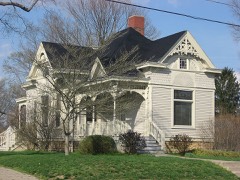 | Lebanon Cemetery Superintendent's House | 0.1 miles | 1984 |
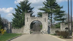 | Lebanon Cemetery Entrance Arch | 0.2 miles | 1984 |
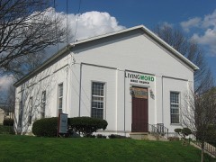 | West Baptist Church | 0.2 miles | 1984 |
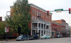 | Golden Lamb | 0.2 miles | 1978 |
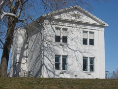 | Lebanon Academy | 0.4 miles | 1984 |
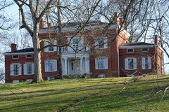 | Glendower | 0.4 miles | 1970 |
| National Archives record | The nomination case file for reference 85000245 in Record Group 79. |
| Warren County | All 30 listed properties in this county. |