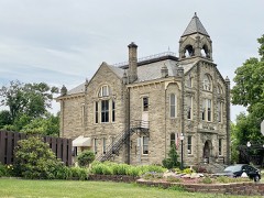
Listed on the National Register of Historic Places in
1985. A historic map-sheet match is not published yet. The record needs a coordinate-quality review before it can be joined to a sheet boundary.
From the record
one of 113 National Register listings in Lorain County · listed in 1985 · category: Building · one of 2 National Historic Landmarks in Lorain County.
National Register reference number.85001692- the number the National Park Service assigned this property when it was listed, and the key its nomination file is catalogued under at the National Archives.
Specimens collected near this property
12 of 2,190 shown
Regional context, not property-specific
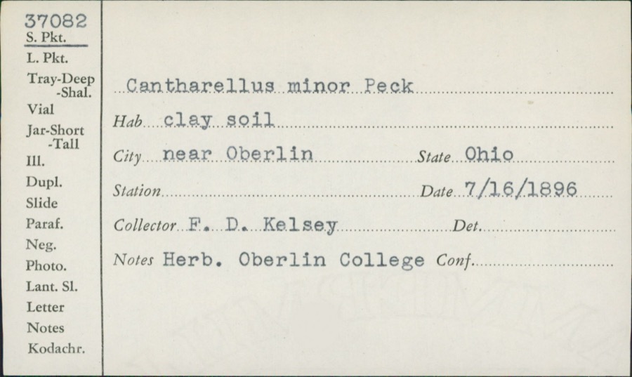
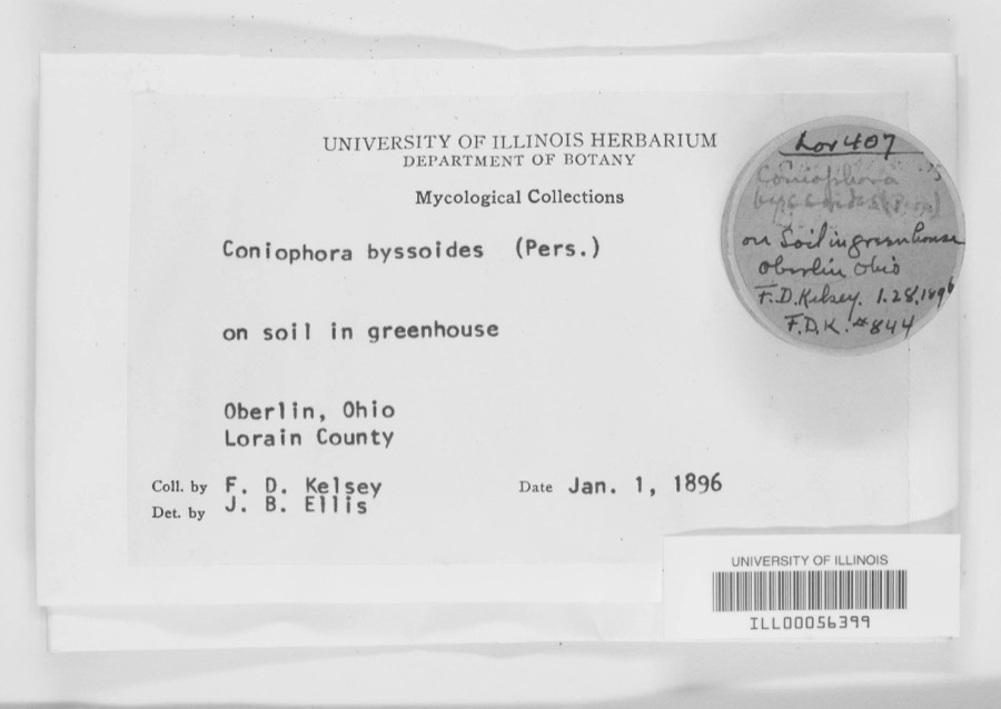
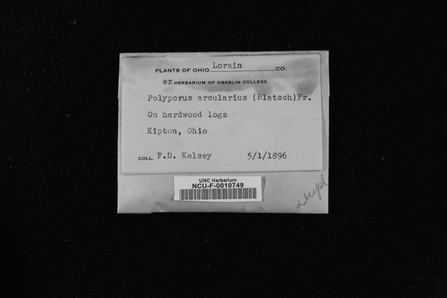
evidence. Museums hold 2,190 specimens
collected within 10 miles of South Ridge Schoolhouse between 1853 and
1975: 1,083 Animalia, 843 Fungi, 222 Plantae, 17 Protozoa, 13 Chromista, 12 Unrecorded. 12 distinct Species records are shown.
Collected by ?, A. A. Wright, A. E. Recksecker and others. Each is a
physical object with a catalogue
number, and each entry opens the museum's record. This is what was
collected and kept, not a survey of what lives here - nothing can be
concluded from a species being absent.
Regional context, not property-specific
evidence. The federal mineral resources record lists
4 workings within 5 miles of South Ridge Schoolhouse: 2 past producers, 2 producers.
2 still produce. What was taken out: Stone, Stone, Crushed/Broken, Sand and Gravel, Construction. Distance is straight-line from the
map coordinates, so a quarry counted here may appear on a neighbouring
settlement's page as well.
No historic map-sheet match is published
for this property yet. That does not mean no map exists. This record needs
a coordinate-quality review before it can be joined to a sheet boundary.
Browse the county's mapped places while that work is
pending.
From the nomination file
1,711 words on record
When this property was proposed for the
National Register, someone wrote the case for it: what the building is,
and why it matters. That document is a federal record in the public domain.
It is quoted below word for word, never summarised. The text was read off the scanned case file by machine, so the
occasional stray character is the recogniser's and the 1970s
typewriter's.
Description of the property
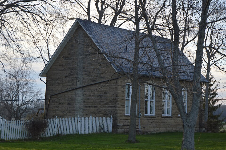
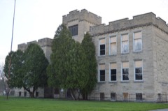
details.The facade features a wood central double doorway with transom light rectangular building three bays long by three bays wide with sandstone Areas of Significance-Check and justify below - archeology-prehistoric community planning _ education X 1800-1899 politics government Builder Architect Statement of
Statement of significance
(in one paragraph) Criteria A & C remaining late nineteenth century link to both the rural one-room schoolhouse Years before Amherst became a village, the township schools were, instructing it's unusually late construction date, for a one-room school, stresses the twentieth century to be seen/ Amherst quarries, some of the finest buildings of Boston, New York, Chicago Amherst were built using "Amherst Blue" sandstone, this schoolhouse being a 1700-1799 1500-1599 1892 1400-1499 1600-1699 commerce transportation conservation economics communications industry engineering archeology-historic Period humanitarian art military theater literature science prehistoric agriculture music sculpture Specific dates quarried sandstone.
landscape architecture Xarchitecture exploration/settlement fine example. unknown law exhuberance of ornamentation makes for this schoolhouse to be architecturally 8. Significance -philosophy The carved stone pediments over the windows and the carved stone doorway religion schoolhouse that has rusticated walls made of sandstone and corner buttresses.
the village while on the out-skirts of the village the one-room schoolhouse 1900- and St.Louis were constructed, as were also the Parliament buildings of replaced an earlier school at an opposite corner of the same intersection and below the surface it was from.A highly prized type of sandstone was called alterations have been made to the interior or exterior of the schoolhouse other (specify) enframement are also not typical details found on a schoolhouse.The invention educational system and to the area's major industry and exportation of locally of the rock and found at the deepest layer of sandstone.Many buildings in 1870's, the production emphasis at the quarries changed from producing schoolhouse had become the center of learning for the pioneers of the area.
Quoted from the National Register nomination
for reference 85001692, 12 pages, held by the National Archives in Record
Group 79. See the
catalogue record.
Listed places nearby
6 within 8 miles
Other National Register properties close
enough to walk or drive between, ordered by distance from this one. Both
positions come from the same geocoding pass that matched these properties
to their map sheets.
Listing record. National Park Service National Register of Historic Places, listed-properties dataset, current to 2026-05-22.
Map join. Address geocoded through the United States Census geocoder, then tested against the published boundary of every sheet in the USGS Historical Topographic Map Collection.
How this page is made. Listing fields come from federal records; map-sheet coverage is a labelled coordinate-to-boundary calculation, not a source-field claim.
Specimens. Global Biodiversity Information Facility (GBIF), https://www.gbif.org/. Only records licensed CC0 or CC BY are used. Records licensed CC BY-NC are excluded because this site carries advertising. Images are checked individually and any whose licence is non-commercial, no-derivatives or unreadable is refused.
Mines and quarries. USGS Mineral Resources Data System (MRDS) https://mrdata.usgs.gov/mrds/ A work of the United States government, no copyright under 17 U.S.C. 105.
 Block
Block