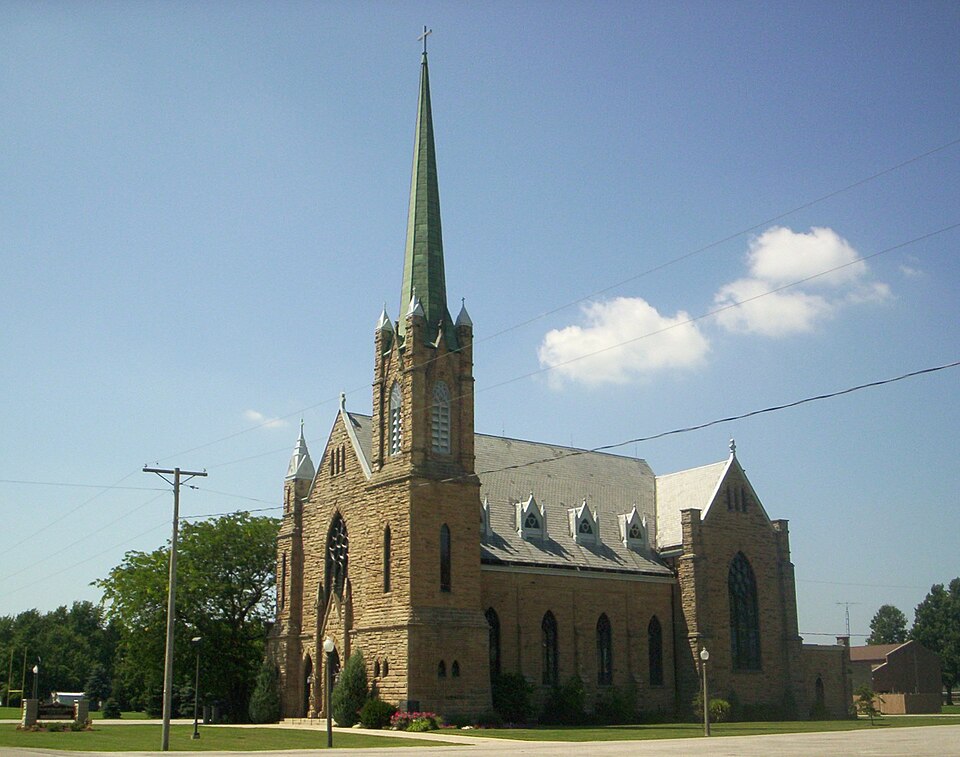
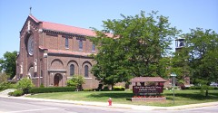
Built in 1892 in the Gothic Revival. Listed on the National Register of Historic Places in
1986. A historic map-sheet match is not published yet. The record needs a coordinate-quality review before it can be joined to a sheet boundary.
From the record
“Sacred Heart of Jesus Churches is a historic church located on OH-61 in Bethlehem, Sharon Township, Richland County, Ohio.”
Wikipedia article Sacred Heart of Jesus Church (Bethlehem, Ohio), CC BY-SA 4.0.
one of 61 National Register listings in Richland County · listed in 1986 · category: Building · built in 1892, Gothic Revival, by WIlliam P. Ginther.
National Register reference number.86000035- the number the National Park Service assigned this property when it was listed, and the key its nomination file is catalogued under at the National Archives.
The chapter covers organization, water, soil and timber, indian occupation, roads, first settlers, an indian dance, and other reminiscences, first election.
Machine-read from a century-old scan, so
expect the errors a machine makes: misspelled names, dropped words,
stray characters.
Regional context, not property-specific
evidence. The
federal wildfire occurrence database
lists 1 fire within 5 miles of Sacred Heart of Jesus Churches between
2020 and 2020, burning about 2 acres in total. None started naturally. None was recorded as arson.
Distance is straight-line from the map coordinates, so a fire counted
here may appear on a neighbouring settlement's page as well.
Reported cause
Fires
Debris and open burning
1
The most recent of
them, most recent first, with the day each was reported and the service
that recorded it.
Regional context, not property-specific
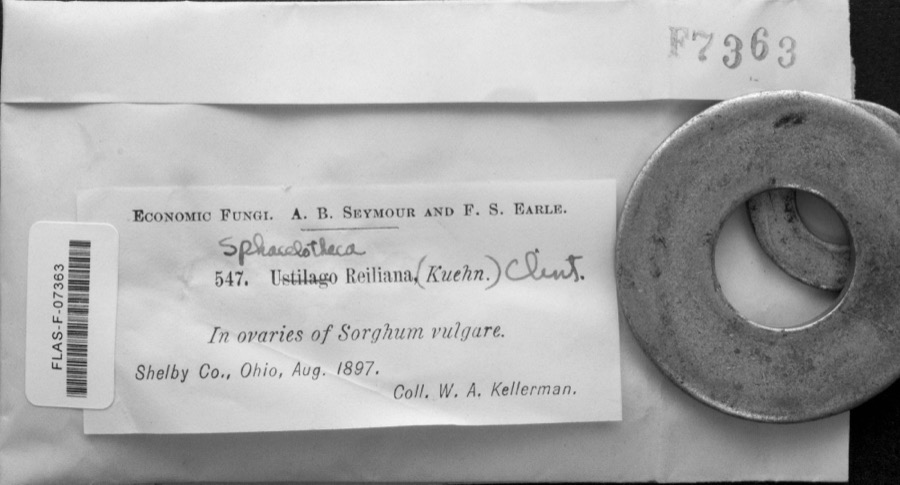
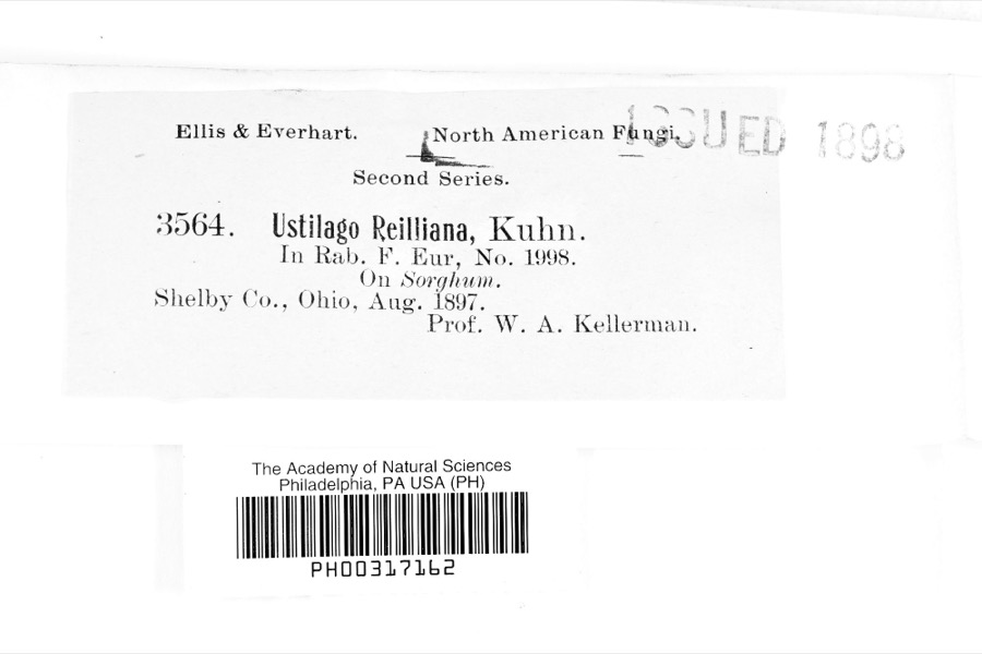
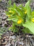
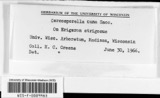
evidence. Museums hold 56 specimens
collected within 10 miles of Sacred Heart of Jesus Churches between 1839 and
1973: 23 Animalia, 21 Fungi, 12 Plantae. 12 distinct Species records are shown.
Collected by Chase, H. (Hazel), E. Wilkinson, Eric G. Chapman and others. Each is a
physical object with a catalogue
number, and each entry opens the museum's record. This is what was
collected and kept, not a survey of what lives here - nothing can be
concluded from a species being absent.
No historic map-sheet match is published
for this property yet. That does not mean no map exists. This record needs
a coordinate-quality review before it can be joined to a sheet boundary.
Browse the county's mapped places while that work is
pending.
From the nomination file
3,411 words on record
When this property was proposed for the
National Register, someone wrote the case for it: what the building is,
and why it matters. That document is a federal record in the public domain.
It is quoted below word for word, never summarised. The text was read off the scanned case file by machine, so the
occasional stray character is the recogniser's and the 1970s
typewriter's.
Description of the property
residences in Sharon Township, six miles southeast of Shelby. Bethlehem is a flat rural area with wooded land to the north and west of the Sacred Heart located just north of State Route 61. Although built in close proximity to vicinity, the two churches are nominated on individual parcels of land. The large Victorian Gothic church (1895), designed by William P. Ginter of Akron, dominates the surrounding landscape (photo #2). Constructed of locally pitched gable roof is covered with slate. modified version of the traditional nave and side aisle arrangement (photo Clerestory windows are illuminated by the dormers and are placed between an ornate series of vaults, leaving a large unobstructed space within the 7.
Description Condition unexposed date ruins deteriorated east transept window.A projecting semi-circular apse rises up from alow original site The sides of the building feature lancet windows, compact stone buttresses, (photo #3).Both windows are composed of ornamental glass; the Blessed Virgin #1).The outbuildings have been severely altered or are of recent windows on the east and west walls crosses the northern end of the sanctuary soaring plaster vaults.
The rib vaults cantilever from the side aisle walls State Route 61 in Bethlehem, Ohio, a small settlement of approximately twelve located to the north of the Sacred Heart property, south of the cemetery (see features corner pinnacles and a steeply pitched octagonal steeple topped by an Three small attic vents are located in the peak of the southern facade gable. Is depicted in the west transept window and St. Joseph is portrayed in the The interior of the church is rich in decoration and detail and features a B good The central entrance is framed by a slightly projecting stone canopy with moved grouping and farmland to the south.
(in one paragraph) Criteria A and C The Sacred Heart of Jesus church buildings (1853 and 1895) are significant for their association with the early settlement of the area, their place within the religious history of Richland County as one of the earliest Roman Catholic parish began as early as 1833 following the first settlement in the area. The parish built its first church, a log cabin, in 1836; as the congregation grew church and was dedicated in 1895; it is still in use by the parish. Both included with the nomination despite their connections to church history. The Religion played an important role in the lives of the early settlers.
Catholicism was not the most common faith to be brought to Ohio and general ly it developed more slowly and at a later date than other religious groups in Mansfield. Shelby, to the northeast of Bethlehem, remained undeveloped until the more populated areas of Richland County were log structures, later Sacred Heart of Jesus parish was the first Roman Catholic church to be organized in the area at this early date and its growth parallels, if not was organized in 1822-23 and a log church was built which served the purchased from the Presbyterians until 1872 when a brick church was constructed. Being the only Roman Catholic church in the area, the Sacred missions in Bucyrus, Crestline, Galion, Mansfield, and Shelby.
traveled from settlement to settlement, often only visiting once a year and celebrating mass at the homes of the local residents.
Quoted from the National Register nomination
for reference 86000035, 21 pages, held by the National Archives in Record
Group 79. See the
catalogue record.
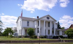
Listed places nearby
3 within 8 miles
Other National Register properties close
enough to walk or drive between, ordered by distance from this one. Both
positions come from the same geocoding pass that matched these properties
to their map sheets.
Listing record. National Park Service National Register of Historic Places, listed-properties dataset, current to 2026-05-22.
Map join. Address geocoded through the United States Census geocoder, then tested against the published boundary of every sheet in the USGS Historical Topographic Map Collection.
How this page is made. Listing fields come from federal records; map-sheet coverage is a labelled coordinate-to-boundary calculation, not a source-field claim.
Wildfire. Short, Karen C. 2022. Spatial wildfire occurrence data for the United States, 1992-2020 [FPA_FOD_20221014]. 6th Edition. Fort Collins, CO: Forest Service Research Data Archive. https://doi.org/10.2737/RDS-2013-0009.6 Collected with United States Government funding and usable without additional permissions or fees.
Specimens. Global Biodiversity Information Facility (GBIF), https://www.gbif.org/. Only records licensed CC0 or CC BY are used. Records licensed CC BY-NC are excluded because this site carries advertising. Images are checked individually and any whose licence is non-commercial, no-derivatives or unreadable is refused.
 Block
Block