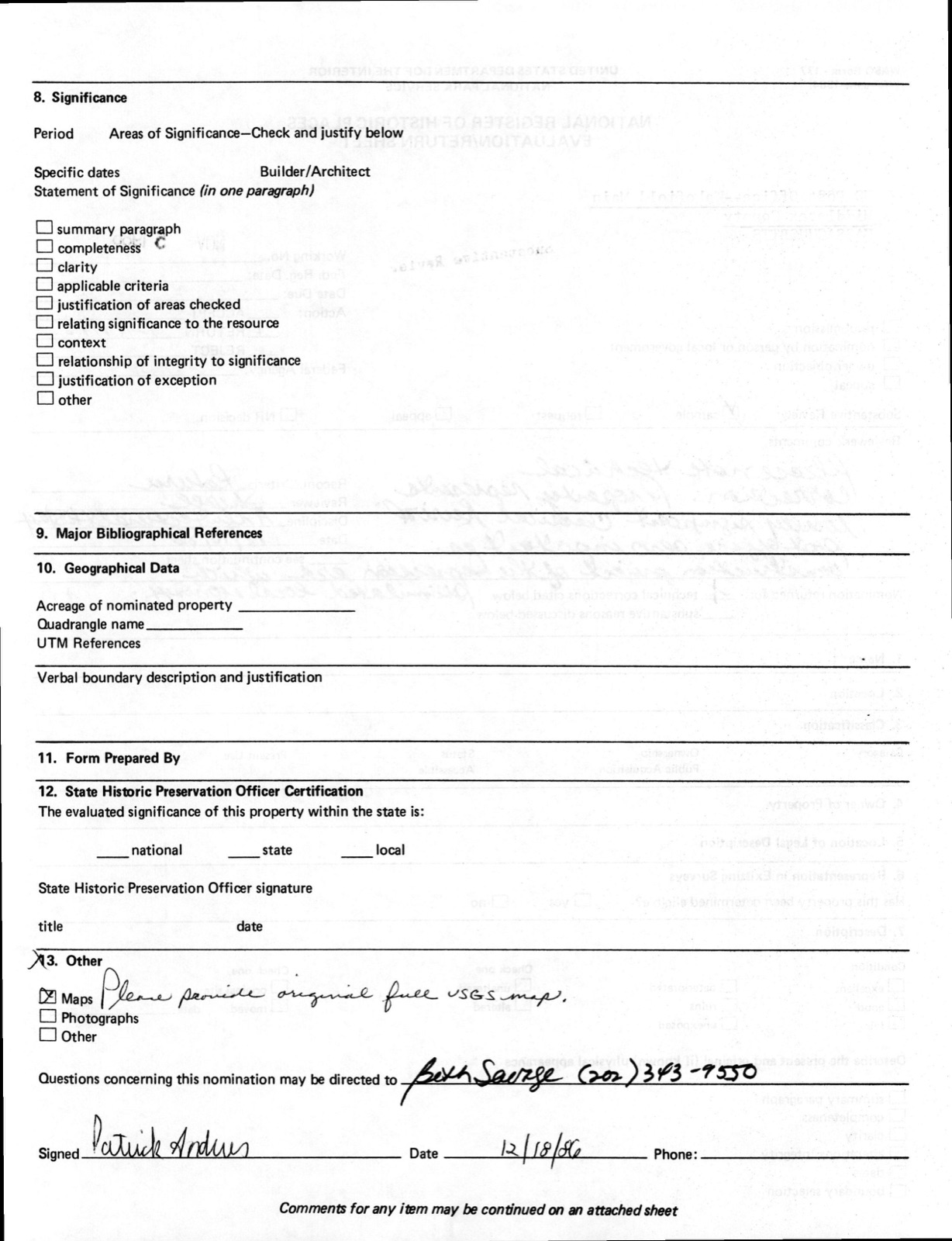
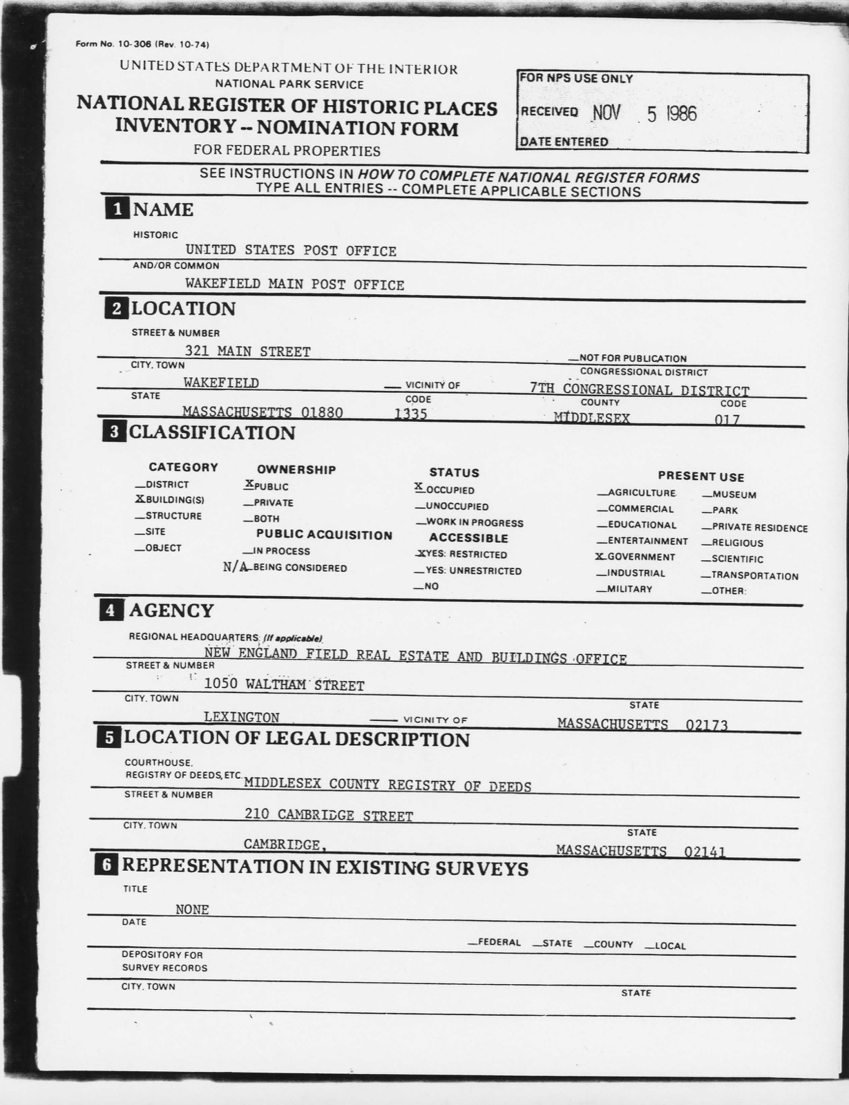
Photographs from the nomination case file, National Park Service records.
US Post Office--Wakefield Main
Listed on the National Register of Historic Places in
1987. A historic map-sheet match is not published yet. The record needs a coordinate-quality review before it can be joined to a sheet boundary.
From the record
“Ncal, opinions of, as to rise of colonv, i. 29; in "History of Puritans," i. 32. Negroes, good service of, in army, ii. 194; formerly held in Reading, ii. 279; seats of, in meeting-house, allotted, ii. 343.”
History of Middlesex County, Massachusetts : Containing Carefully Prepared Histories of Every City and Town in the County (1880). Machine-read text.
one of 1100 National Register listings in Middlesex County · listed in 1987 · category: Building · one of 3 National Historic Landmarks in Middlesex County.
National Register reference number.86003439- the number the National Park Service assigned this property when it was listed, and the key its nomination file is catalogued under at the National Archives.
"i. 173. Ncal, opinions of, as to rise of colonv, i. 29; in "History of Puritans," i. 32. Needham, Hon. Daniel, resident in Groton, i. 469. Negroes, good service of, in army, ii. 194; formerly held in Reading, ii. 279; seats of, in meeting-house, allotted, ii. 343. Nelson, Captain John, takes Andros prisoner, i. 93. Nesutan, Job, Eliot's Indian teacher, ii. 218. New England, men of, serve Cromwell, i. 74. "New England's Prospect," published by Wood, i. 56. New Hampshire, boundary adjusted with, i. 412. " New Light " Society formed in Newton, ii. 225. Newman, Robert, signals to Paul Revere (note), i. 117. Newspaper, "Boston Gazette," first issued, i. 98, 103; earliest, published in Ayer, i. 237. Newspapers established in Natick, ii. 199; in Wakefield, notice of, ii. 403; local, in Woburn, ii. 544; in Woburn, notice of, ii. 547. Newton, history of town of, ii. 203; set off as a parish, ii. 214; effort for incorporation of, ii. 214; (or Newtown) incor|iurated, i. 97; present name, how obtained, ii. 216; early relations of, with Cambridge, ii. 217; Upper Falls in, first improved, ii. 235; movement to divide town of, ii. 240; North Village in, how begun, ii. 246. Newtonville, village, how begun, ii. 238. " New Town," Hooker emigrates from, to Connecticut, i. 53. Nichols, Thomas, sells slaves in Melrose, ii. 181. Nipmucks join Narragansetts, and burn Mendon, i. 81. Ni.>con, General John, sketch of, ii. 3G8; Captain, recruits in
Regional context, not property-specific
evidence. The
federal wildfire occurrence database
lists 34 fires within 5 miles of US Post Office--Wakefield Main between
2015 and 2020, burning about 19 acres in total. None started naturally. 1 was recorded as arson.
Distance is straight-line from the map coordinates, so a fire counted
here may appear on a neighbouring settlement's page as well.
Reported cause
Fires
Missing data/not specified/undetermined
14
Debris and open burning
10
Recreation and ceremony
6
Misuse of fire by a minor
1
Arson/incendiarism
1
Equipment and vehicle use
1
Railroad operations and maintenance
1
The most recent of
them, most recent first, with the day each was reported and the service
that recorded it.
Regional context, not property-specific
evidence. Museums hold 1,509 specimens
collected within 10 miles of US Post Office--Wakefield Main between 1898 and
1975: 662 Animalia, 510 Plantae, 297 Fungi, 17 Bacteria, 9 Unrecorded, 9 Protozoa, 5 Chromista. 12 distinct Species records are shown.
Collected by ?, A B Seymour, A B. Proper and others. Each is a
physical object with a catalogue
number, and each entry opens the museum's record. This is what was
collected and kept, not a survey of what lives here - nothing can be
concluded from a species being absent.
Regional context, not property-specific
evidence. The federal mineral resources record lists
17 workings within 5 miles of US Post Office--Wakefield Main: 10 past producers, 4 producers, 3 plants.
7 still produce. What was taken out: Sand and Gravel, Construction, Stone, Crushed/Broken, Peat, Clay. Distance is straight-line from the
map coordinates, so a quarry counted here may appear on a neighbouring
settlement's page as well.
Regional context, not property-specific
evidence. The National Weather Service names
Wakefield, the town this property stands in, in 12 storm reports between 1998 and 2020: 5 thunderstorm wind, 4 hail, 1 flash flood, 1 flood.
The reports record 1 injury. Each account below is quoted exactly as the forecast office
filed it, from the NOAA Storm Events Database, and each date
opens the federal record of that event.
A 55 year old woman was injured when lightning struck her house in Wakefield. The woman was ironing when lightning struck and was thrown about 6 feet. She temporarily lost feeling in her right arm and was transported to the hospital. Doctors evaluated her, determining that no permanent damage was done but the strike had affected her right eardrum and thrown off her equilibrium. The house was found to be undamaged.
No historic map-sheet match is published
for this property yet. That does not mean no map exists. This record needs
a coordinate-quality review before it can be joined to a sheet boundary.
Browse the county's mapped places while that work is
pending.
From the nomination file
5,729 words on record
When this property was proposed for the
National Register, someone wrote the case for it: what the building is,
and why it matters. That document is a federal record in the public domain.
It is quoted below word for word, never summarised. The text was read off the scanned case file by machine, so the
occasional stray character is the recogniser's and the 1970s
typewriter's.
Description of the property
DATE_ The Wakefield Post Office, constructed in 1936 and dedicated on January 27, 1937 is located on Main Street, at the corner of Yale Avenue, an area referred to as Upper Wakefield Square. The public library and the YMCA located on either side of the Post Office, were built some fifteen and thirty years before it. Both of these structures characterize the Classic Revival detailing- The Post Office Architect however, utilizing the similar basic components and details of that style, unified this building into a well proportioned, organized, bold statement that captures the power and dignity of Classical Revival architecture at the Federal level.
At the north end of the business district, near the Town Park and Lake Quannapowitt, the Post Office is sited near two quaint, nineteetth century, high spired wooden churches and several older brick and wooden residences on the wide tree-studded Main Street. A flight of broad granite steps leads up to the front lawn terrace area, separated from the sidewalk by a granite retaining wall some four feet in height at the stair area. The lawn abuts the gradual incline of Yale Avenue on the right side of the property. The original herring-bone patterned, brick terrace between the two separate flights of granite steps has since been replaced with concrete.
The Post Office is of striking, Neo-Classic design with a dramatic front facade, featuring a high, three bay limestone center entrance, flanked by single brick wall bays on each side. The juxaposition of the crisp limestone motif, with the inclusion of flemish bond brick panels, tends to enhance yet soften, the rigid, bold classical detailing. All bays are sharply defined by limestone pilasters at the corners and at the transition breaks.
1936 BUILDER/ARCHITECT Edward M. Bridge, Architect A.J. Long Construction Co. - Although just fifty years old, the Wakefield Post Office was constructed during the darkest hours of the Depression. It possesses integrity of location, design, setting, materials and workmanship, as well as significant association with the efforts of the Federal Government to relieve unemployment and stimulate the economy through the rapid construction of governmental structures during the Depression era. This building is locally significant as tangible evidence to the community of the Government's activist role and a symbolic representation of its strength and ideals.
Additionally, it exemplifies the high standard set for Federal Buildings designed by local architects, and is a fine example of the work of Boston architect, Edward M. Bridge, whose classic design harmonizes with the neighboring cityscape. It thus meets National Register criteria A and C. The Town of Wakefield, identified as South Reading until opting for town status and being dedicated as a separate community on July 4th, 1868, was named for its most prominent citizen, Cyrus Wakefield. The town was primarily an agricultural community but with the advent of the Boston and Maine Railroad, which still runs to the immediate west of the business district, local industry became established on the eastern and southern borders of the commercial area.
The first Post Office in the community was established in 1812, with the appointed Postmaster John Rayner receiving the mails from the Boston or Charlestown stages. Postmaster Rayner opened the first office in a smal1 building on Main Street, near the old Brown Block, and was succeeded in office by Mssrs. Burrage Yale, Eli Yale, Charles Stearns and Lilly Eaton, al1 maintaining the office at the same location.
Quoted from the National Register nomination
for reference 86003439, 28 pages, held by the National Archives in Record
Group 79. See the
catalogue record.
Listed places nearby
6 within 8 miles
Other National Register properties close
enough to walk or drive between, ordered by distance from this one. Both
positions come from the same geocoding pass that matched these properties
to their map sheets.
Listing record. National Park Service National Register of Historic Places, listed-properties dataset, current to 2026-05-22.
Map join. Address geocoded through the United States Census geocoder, then tested against the published boundary of every sheet in the USGS Historical Topographic Map Collection.
How this page is made. Listing fields come from federal records; map-sheet coverage is a labelled coordinate-to-boundary calculation, not a source-field claim.
Wildfire. Short, Karen C. 2022. Spatial wildfire occurrence data for the United States, 1992-2020 [FPA_FOD_20221014]. 6th Edition. Fort Collins, CO: Forest Service Research Data Archive. https://doi.org/10.2737/RDS-2013-0009.6 Collected with United States Government funding and usable without additional permissions or fees.
Specimens. Global Biodiversity Information Facility (GBIF), https://www.gbif.org/. Only records licensed CC0 or CC BY are used. Records licensed CC BY-NC are excluded because this site carries advertising. Images are checked individually and any whose licence is non-commercial, no-derivatives or unreadable is refused.
Mines and quarries. USGS Mineral Resources Data System (MRDS) https://mrdata.usgs.gov/mrds/ A work of the United States government, no copyright under 17 U.S.C. 105.
Storms. NOAA National Centers for Environmental Information, Storm Events Database https://www.ncei.noaa.gov/stormevents/ A work of the United States government, no copyright under 17 U.S.C. 105. Narratives are quoted verbatim from the National Weather Service report and are not edited or summarised.
 Block
Block