Block
From the record
One of 202 National Register listings published here for Barnstable County · listed in 1987 · category: Structure.
Sources: the case file at the National Archives · the National Register database, National Park Service
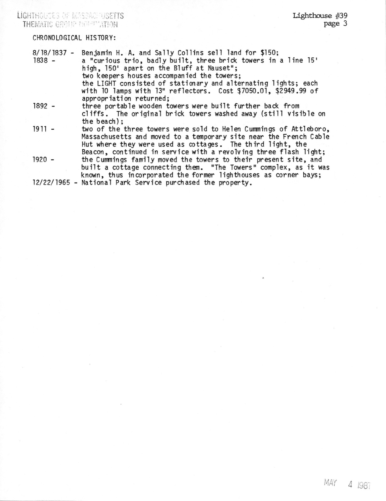
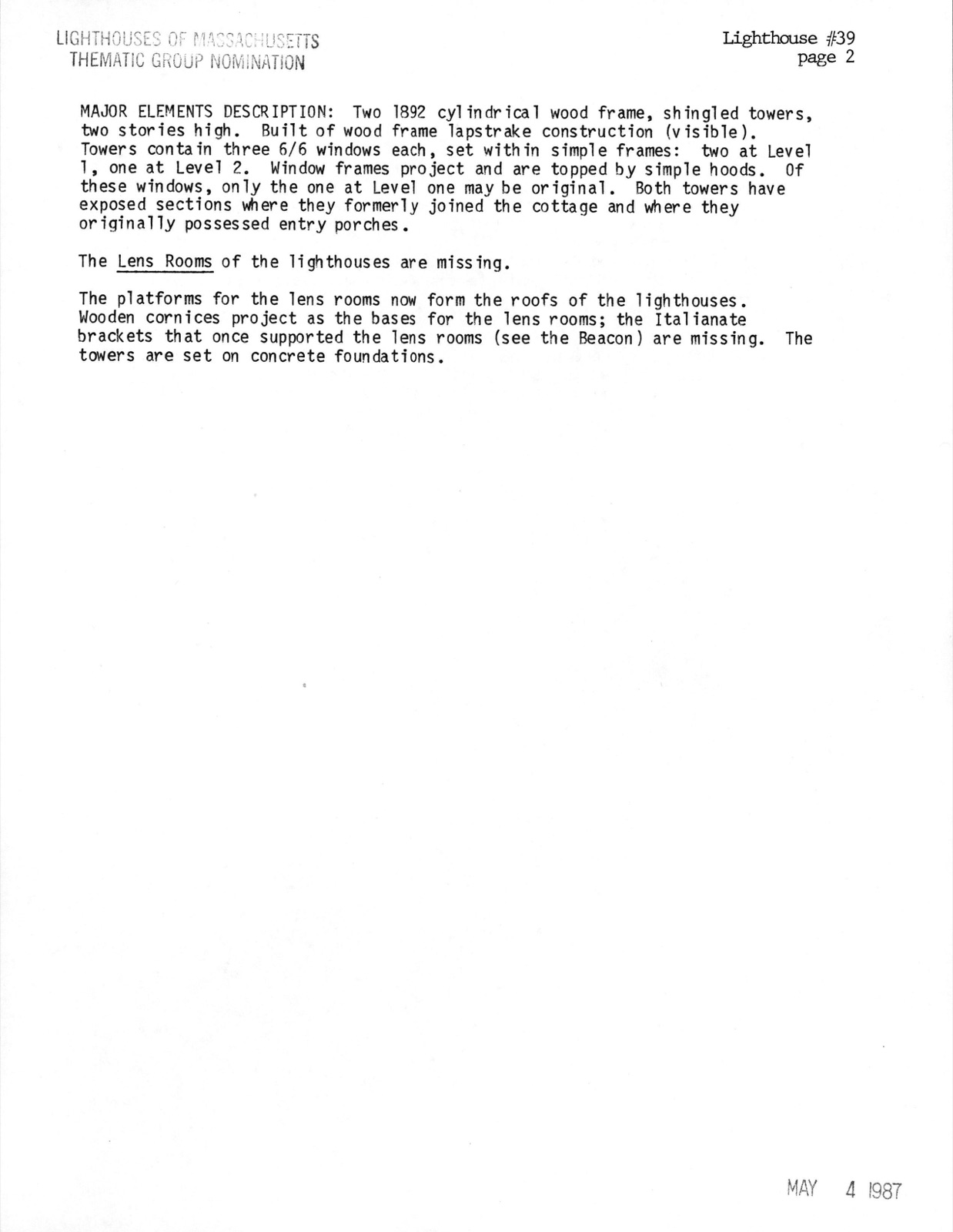
Photographs from the nomination case file, National Park Service records.
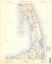
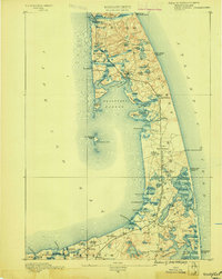
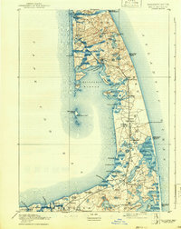
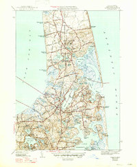
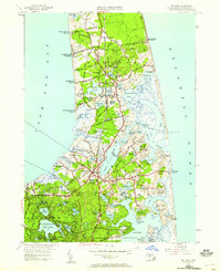
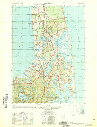
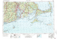
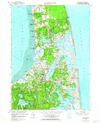
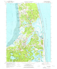
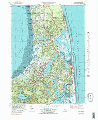
Listed on the National Register of Historic Places in 1987. 18 historic topographic surveys show this location, the earliest from 1887.
One of 202 National Register listings published here for Barnstable County · listed in 1987 · category: Structure.
Sources: the case file at the National Archives · the National Register database, National Park Service
The ground this property stands on, surveyed 106 years apart. Drag the handle to wipe between them. Both sheets are United States Geological Survey originals; neither has been altered.
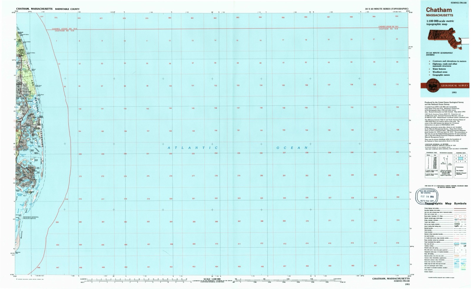
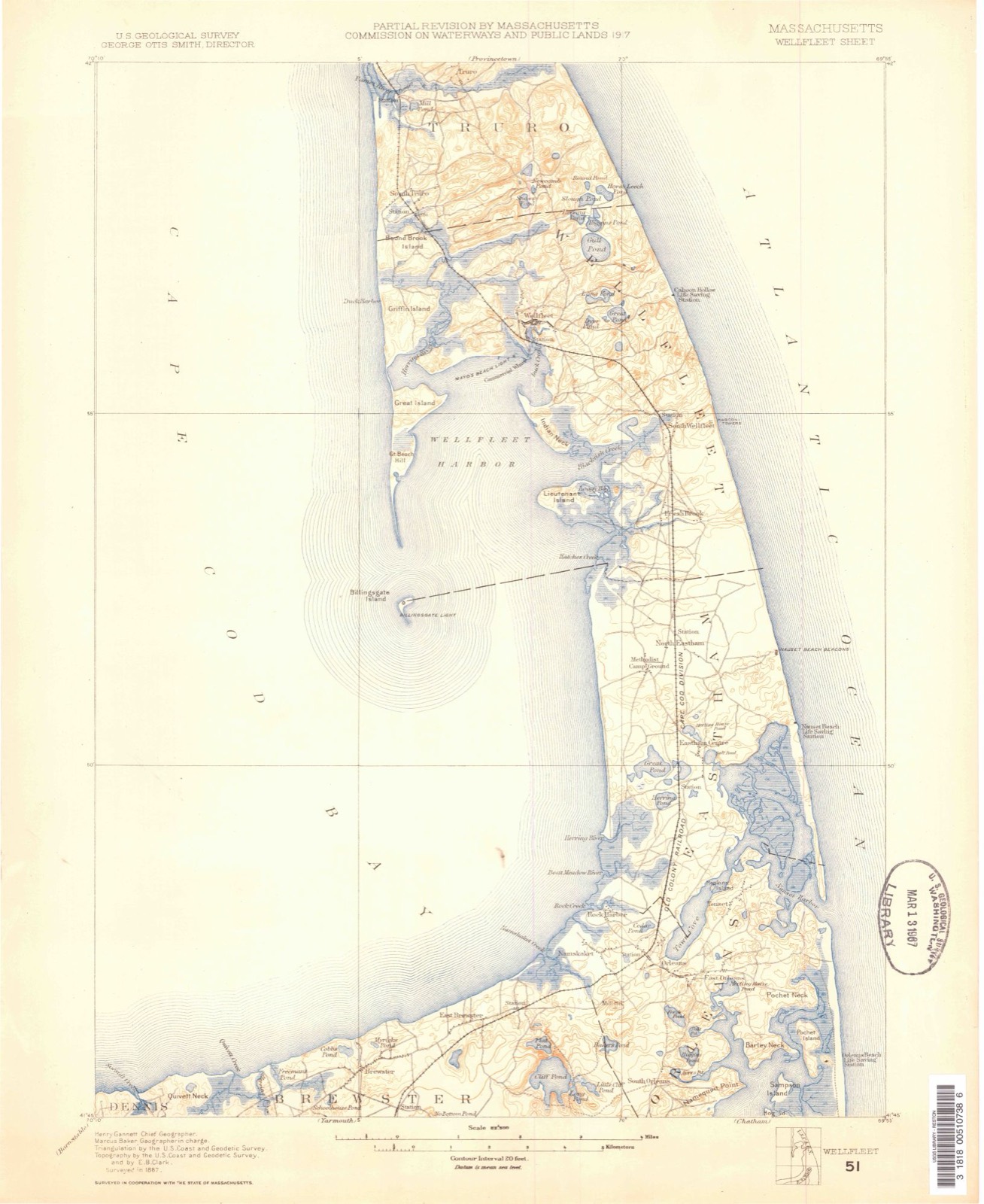
Regional context, not property-specific evidence. The federal wildfire occurrence database lists 77 fires within 5 miles of Three Sisters of Nauset (Twin Lights) between 1992 and 2020, burning about 42 acres in total. 7 started naturally. 1 was recorded as arson. Distance is straight-line from the map coordinates, so a fire counted here may appear on a neighbouring settlement's page as well.
| Reported cause | Fires |
|---|---|
| Missing data/not specified/undetermined | 27 |
| Equipment and vehicle use | 12 |
| Recreation and ceremony | 11 |
| Debris and open burning | 10 |
| Natural | 7 |
| Fireworks | 4 |
| Smoking | 2 |
| Misuse of fire by a minor | 1 |
| Other causes | 1 |
| Arson/incendiarism | 1 |
| Power generation/transmission/distribution | 1 |
The most recent of them, most recent first, with the day each was reported and the service that recorded it.
| Date | Cause | Size | Reported by | Name on the report |
|---|---|---|---|---|
| 3 September 2018 | Natural | under an acre | Massachusetts Bureau of Forest Fire Control | not named |
| 28 September 2015 | Missing data/not specified/undetermined | under an acre | Massachusetts Bureau of Forest Fire Control | 1946 |
| 24 September 2004 | Recreation and ceremony | under an acre | Cape Cod National Seashore | EWTWNLINE |
| 22 September 2020 | Missing data/not specified/undetermined | under an acre | Massachusetts Bureau of Forest Fire Control | not named |
| 22 September 1995 | Recreation and ceremony | under an acre | Cape Cod National Seashore | MAURICES |
| 18 September 2008 | Power generation/transmission/distribution | under an acre | Cape Cod National Seashore | WIRE FIRE |
| 5 August 2015 | Equipment and vehicle use | under an acre | Massachusetts Bureau of Forest Fire Control | 1520 |
| 3 August 2018 | Debris and open burning | under an acre | Massachusetts Bureau of Forest Fire Control | not named |
Regional context, not property-specific evidence. Museums hold 2,309 specimens collected within 10 miles of Three Sisters of Nauset (Twin Lights) between 1819 and 1975: 1,155 Animalia, 845 Plantae, 135 Fungi, 67 Bacteria, 59 Chromista, 48 Unrecorded. 12 distinct Species records are shown. Collected by A. R. Alan Hodgdon Hodgdon, A. R. Hodgdon, A. R. Hodgdon; G. B. Rossbach and others. Each is a physical object with a catalogue number, and each entry opens the museum's record. This is what was collected and kept, not a survey of what lives here - nothing can be concluded from a species being absent.
| Image | Species | Year | Collected by | Where, as recorded |
|---|---|---|---|---|
| Laminaria caperata Bachelot de la Pylaie, 1824 | 1819 | Collector unknown | ||
 | Pseudopleuronectes americanus (Walbaum, 1792) | 1853 | Atwood, Nathaniel E. | Cape Cod, Massachusetts |
 | Ammodytes americanus DeKay, 1842 | 1859 | Weinland, David Friedrich | Cape Cod, Massachusetts |
 | Pomatomus saltatrix (Linnaeus, 1766) | 1859 | Ordway, A. | Cape Cod, Massachusetts |
 | Stenotomus chrysops (Linnaeus, 1766) | 1860 | William Bemis | Cape Cod Bay, Wellfleet Harbor |
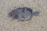 | Paralichthys oblongus (Mitchill, 1815) | 1862 | MCZ team | Cape Cod, Massachusetts |
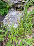 | Carex foenea Willd. | 1864 | W. P. Alcott | Wellfleet |
 | Morone americana (Gmelin, 1789) | 1864 | MCZ team | Cape Cod, rivers, Massachusetts |
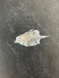 | Scophthalmus aquosus (Mitchill, 1815) | 1864 | MCZ team | Cape Cod, Massachusetts |
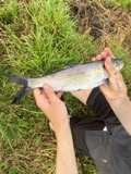 | Alosa mediocris (Mitchill, 1814) | 1871 | MCZ team | Brewster, Cape Cod, Massachusetts |
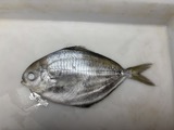 | Peprilus triacanthus (Peck, 1804) | 1871 | Blake, John Henry | Cape Cod, Massachusetts |
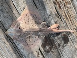 | Raja eglanteria Bosc, 1800 | 1871 | MCZ team | Cape Cod, Massachusetts |
All 2,309 specimens within 10 miles, at the Global Biodiversity Information Facility.
Regional context, not property-specific evidence. The federal mineral resources record lists 1 working within 5 miles of Three Sisters of Nauset (Twin Lights): 1 past producer. None of them still produces. What was taken out: Sand and Gravel, Construction. Distance is straight-line from the map coordinates, so a quarry counted here may appear on a neighbouring settlement's page as well.
| Where | Site | Commodity | Status | Recorded |
|---|---|---|---|---|
| M F Roach Company Pit | Sand and Gravel, Construction | Past Producer |
Regional context, not property-specific evidence. The National Weather Service names Eastham, the town this property stands in, in 8 storm reports between 2001 and 2018: 4 lightning, 1 hail, 1 storm surge/tide, 1 thunderstorm wind. The reports record 4 injuries. Each account below is quoted exactly as the forecast office filed it, from the NOAA Storm Events Database, and each date opens the federal record of that event.
| When | Event | Place named | Harm | What the report says |
|---|---|---|---|---|
| August 2012 | Lightning | Eastham | 2 hurt | A 62 year old woman and a 4 year old girl were struck by lightning while getting out of a car. The woman was holding an umbrella for the girl when lightning struck. Both were transported to Cape Cod Hospital for evaluation but were released with no injuries. |
| May 2001 | Lightning | Eastham | 2 hurt | no account filed |
| June 2006 | Lightning | Eastham | $100,000 | no account filed |
| August 2017 | Flash Flood | North Eastham | $50,000 | At 1138 PM EST, Cable Road near Nauset Regional High School in Eastham was flooded and impassable. At 1154 PM EST, there were multiple reports of flooded basements on Jennie Clark Road. There were also reports of flooded basements on Kingswood Drive and Cestaro Way. At 1204 AM EST a car on Gail's Way was trapped in flood waters in a road washout. At 1252 AM EST there was three feet of water on Old Orchard Road near Kettle Hole Road. At 111 AM EST, two cars were trapped in flood waters on Brackett Road. At 6 AM EST, a Cocorahs observer in Eastham reported a storm total rainfall of 8.25 inches. |
| November 2002 | Storm Surge/Tide | Eastham | $15,000 | no account filed |
| August 2018 | Lightning | Eastham | $5,000 | At 9:48 AM EST, lightning struck a house on Mill Road in Eastham. |
| August 2008 | Thunderstorm Wind | Eastham | $5,000 | Trees and wires were downed by thunderstorm winds, including some trees in the Cape Cod National Seashore. |
| July 2001 | Hail | Eastham | - | no account filed |
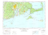
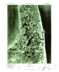
United States Geological Survey topographic sheets whose coverage includes this point. Matched by taking the coordinate the National Park Service records for this property, then testing that coordinate against the published boundary of every sheet.
When this property was proposed for the National Register, someone wrote the case for it: what the building is, and why it matters. That document is a federal record in the public domain. It is reproduced in full on its own page, word for word and never summarised. The text was read off the scanned case file by machine, so the occasional stray character is the recogniser's and the 1970s typewriter's.
The whole case file for this property - 1,516 words, 14 pages, reproduced complete.
Quoted from the National Register nomination for reference 87001502, 14 pages, held by the National Archives in Record Group 79. See the catalogue record.
Other National Register properties close enough to walk or drive between, ordered by distance from this one. Both positions come from the same geocoding pass that matched these properties to their map sheets.
| Photograph | Property | Distance | Listed |
|---|---|---|---|
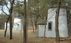 | Beacon, The | 0.4 miles | 1987 |
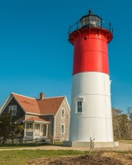 | Nauset Beach Light | 0.8 miles | 1987 |
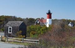 | French Cable Hut | 1.1 miles | 1976 |
| Old Town Center Historic District | 1.1 miles | 2001 | |
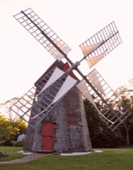 | Eastham Center Historic District | 1.4 miles | 1999 |
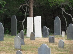 | Bridge Road Cemetery | 1.7 miles | 1999 |
| National Archives record | The nomination case file for reference 87001502 in Record Group 79. |
| Barnstable County | All 202 listed properties in this county. |