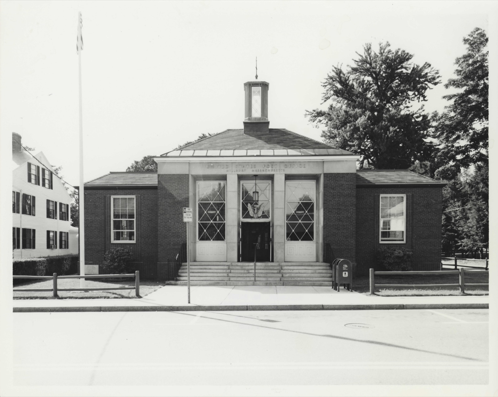
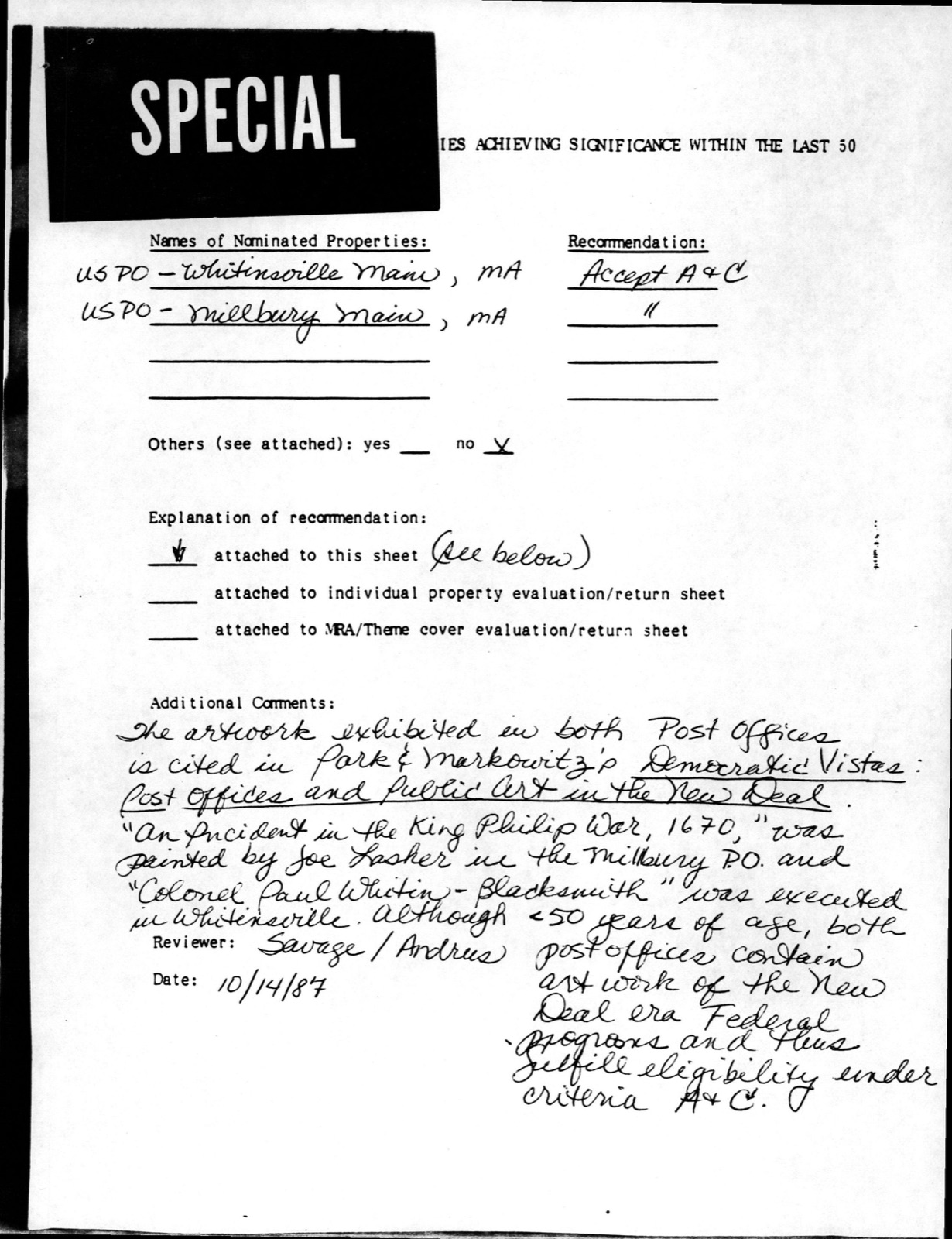
Photographs from the nomination case file, National Park Service records.
US Post Office-Millbury Main
Listed on the National Register of Historic Places in
1987. A historic map-sheet match is not published yet. The record needs a coordinate-quality review before it can be joined to a sheet boundary.
From the record
“At the Annual Town Meeting, held March 20, 1905, a committee was chosen, consisting of Mr. Putnam, to consider Millbury's past history, especially its industries, with a view to the publication of a history of the town.”
Centennial History of the Town of Millbury, Massachusetts, Including Vital Statistics, 1850-1899 (1915). Machine-read text.
one of 500 National Register listings in Worcester County · listed in 1987 · category: Building · one of 1 National Historic Landmarks in Worcester County.
National Register reference number.87001764- the number the National Park Service assigned this property when it was listed, and the key its nomination file is catalogued under at the National Archives.
At the Annual Town Meeting, held March 20, 1905, a committee was chosen, consisting of Mr. George F. Chase, chairman, Mr. John C. Crane, Mr. Ira N. Goddard, Mr. George W. Mallalieu, and the Rev. George A. Putnam, to consider Millbury's past history, especially its industries, with a view to the publication of a history of the town. Accordingly, at intervals in the succeeding years this committee met and made plans for the compilation of such a work. One member of the committee, Mr. John C. Crane, had already for many years been privately gathering literary material pertaining to the industries, institutions, and individuals of the town, and this collection became the nucleus for the present volume. For a year Mr. Crane continued his labors of compilation and read his manuscript to the committee regularly at its meetings and, in recognition of his enthusiastic and patient work, the committee voted to express its appreciation of the "valuable, devoted and loving labors of Mr. John C. Crane in compiling the History of Millbury."
In the preparation of such a history the stoppingplace is largely an arbitrary one, as there is always more description of places, people, or events, that might be included and more painstaking care may ever be exercised in revising the manuscript, but the committee presents the history of the town believing that the book gives a true idea of Millbury happenings, together with such particular chronicles of people, societies, and institutions, as to leave little of importance that remains uncovered.
Regional context, not property-specific
evidence. The
federal wildfire occurrence database
lists 68 fires within 5 miles of US Post Office-Millbury Main between
2002 and 2020, burning about 54 acres in total. None started naturally. 5 were recorded as arson.
Distance is straight-line from the map coordinates, so a fire counted
here may appear on a neighbouring settlement's page as well.
Reported cause
Fires
Debris and open burning
19
Smoking
12
Recreation and ceremony
11
Missing data/not specified/undetermined
11
Power generation/transmission/distribution
5
Arson/incendiarism
5
Railroad operations and maintenance
4
Misuse of fire by a minor
1
The most recent of
them, most recent first, with the day each was reported and the service
that recorded it.
Regional context, not property-specific
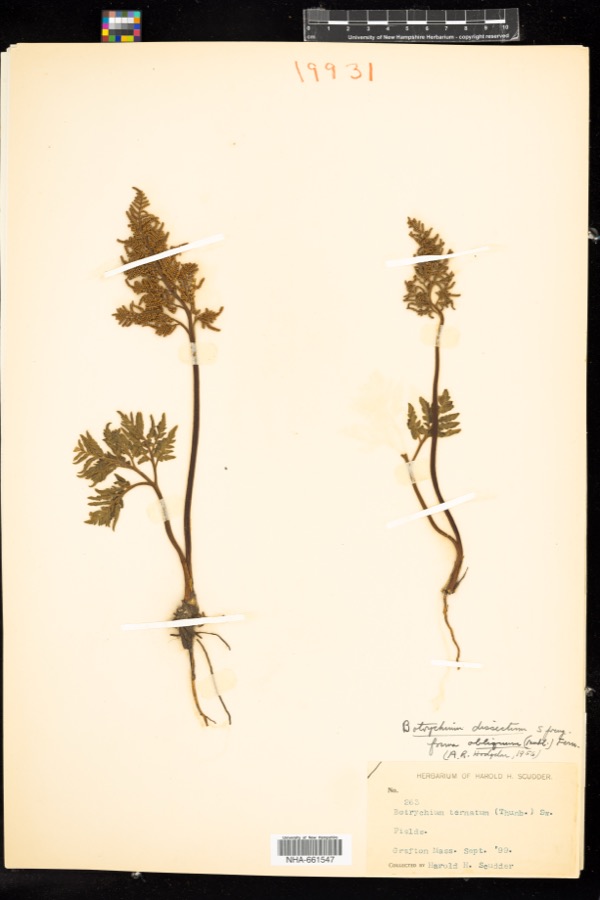
evidence. Museums hold 1,635 specimens
collected within 10 miles of US Post Office-Millbury Main between 1839 and
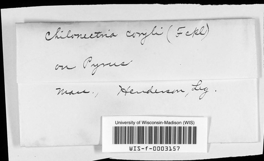
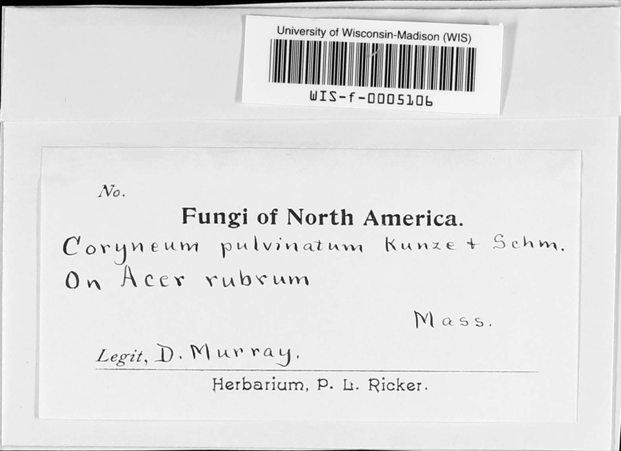
1974: 1,003 Plantae, 360 Animalia, 240 Fungi, 14 Unrecorded, 14 Protozoa, 4 Chromista. 12 distinct Species records are shown.
Collected by A E WOODHEAD, A. A. Eaton, A. B. Seymour and others. Each is a
physical object with a catalogue
number, and each entry opens the museum's record. This is what was
collected and kept, not a survey of what lives here - nothing can be
concluded from a species being absent.
Regional context, not property-specific
evidence. The federal mineral resources record lists
19 workings within 5 miles of US Post Office-Millbury Main: 11 past producers, 5 producers, 2 plants, 1 unknown.
7 still produce. What was taken out: Sand and Gravel, Construction, Iron, Titanium, Metal. Distance is straight-line from the
map coordinates, so a quarry counted here may appear on a neighbouring
settlement's page as well.
Regional context, not property-specific
evidence. The National Weather Service names
Millbury, the town this property stands in, in 12 storm reports between 1998 and 2024: 4 thunderstorm wind, 4 flood, 2 hail, 1 flash flood.
No death or injury is recorded in these reports. Each account below is quoted exactly as the forecast office
filed it, from the NOAA Storm Events Database, and each date
opens the federal record of that event.
A car was stuck in flood waters on Sutton Avenue in Northbridge. The Blackstone River at Millbury overflowed its banks near Route 146, flooding portions of the northbound lanes. The intersection of Routes 140 and 122A was flooded after the Blackstone River overflowed its banks in Grafton. The Mill River in Mendon overflowed its banks flooding the Bellingham Street Bridge.
In Worcester at 3:17 AM EST Rt 20 was closed in both directions due to flooding at Grafton St. At 3:40 AM EST an area of 500 Main St was flooded in Sturbridge.
No historic map-sheet match is published
for this property yet. That does not mean no map exists. This record needs
a coordinate-quality review before it can be joined to a sheet boundary.
Browse the county's mapped places while that work is
pending.
From the nomination file
3,457 words on record
When this property was proposed for the
National Register, someone wrote the case for it: what the building is,
and why it matters. That document is a federal record in the public domain.
It is quoted below word for word, never summarised. The text was read off the scanned case file by machine, so the
occasional stray character is the recogniser's and the 1970s
typewriter's.
Description of the property
CHECK ONE XORIGINAL SITE -MOVED DATE_ Located one block from the main intersection of Elm and Main Streets, the Millbury Post Office is one of the town's more prominent land- marks. It is a community gathering place contiguous to the business and commercial area in a setting of municipal buildings and three early homesteads of historic interest. The Millbury Post Office, generally square in plan, some 65 feet long by 55 feet in depth, plus platform area, contains 4,000 square feet of floor space. The full basement meets the needs of the Post Office for storage and service spaces.
The construction is of concrete foundations on spread footings, reinforced concrete floor slabs, solid masonry bearing walls of uniform thickness supporting a steel framed flat roof, with wood rafters framing the low pitched hip entrance roof that emphasizes the central core theme. While the floor plan is typical of other post offices in surrounding locales, the articulation of the entrance motif with its prime roof variations, coupled with the splendid use of deep, elongated piers, boldly presents a dramatic entrance portico. Unusual in its approach, it effectively changes the concept of the standard presentation to a simplistic, vigorous statement, substantiated by the deep interplay of heavy shadow lines.
The Millbury Post Office alludes to the Moderne design in its style presentation, popularized some years earlier with its flat surfaces, severe detailing and sharply defined geometric shapes. The unusual base treatment is composed entirely of vertically stacked brick headers, supporting a continuous brick watertable. The remaining brick facades were laid in a common bond, capped with a plain narrow cornice of crisp, clear detail, complementing the design intent and corresponding building elements.
/ARCHITECTLouis A. Simon, Supv. Arch't. Cutler Constr. Co. Contractor STATEMENT OF SIGNIFICANCE The Millbury Post Office was constructed in 1940. Although less that fifty years old, it possesses integrity of location, design, setting, materials and workmanship, as well as significant associations with the Federal Works Administration and its related Section of Fine Arts, producing employment for the construction trades and fine artists during the depression era. Additionally, it exemplifies the high standard set by the Federal Architects in producing distinctive, progressive detailing on standardized plans, retaining the power and dignity of the Federal Presence at the community level, while maintaining the design harmony of the neighborhood.
The building therefore meets the National Register Criteria A and C. Millbury was originally settled in 1704, as part of the Grant of Sutton, the sixth town on Worcester County. Incorporated as the Town of Sutton on June 21, 1715, the community expanded slowly as an agricultural area on the fertile lands bordering the Blackstone and Singletary Rivers. Millbury, the north or Second Parish of Sutton, became a separate town in 1813. Millbury had three stages on industrial development. From the time of the Revolition until the War of 1812, small independant mills began operation on the banks of the two rivers, manufacturing powder and 22222 paper, followed shortly by the first looms in the area, and the lathe mills, of which Asa H. Waters' was the most famous.
Quoted from the National Register nomination
for reference 87001764, 21 pages, held by the National Archives in Record
Group 79. See the
catalogue record.
Listed places nearby
6 within 8 miles
Other National Register properties close
enough to walk or drive between, ordered by distance from this one. Both
positions come from the same geocoding pass that matched these properties
to their map sheets.
Listing record. National Park Service National Register of Historic Places, listed-properties dataset, current to 2026-05-22.
Map join. Address geocoded through the United States Census geocoder, then tested against the published boundary of every sheet in the USGS Historical Topographic Map Collection.
How this page is made. Listing fields come from federal records; map-sheet coverage is a labelled coordinate-to-boundary calculation, not a source-field claim.
Wildfire. Short, Karen C. 2022. Spatial wildfire occurrence data for the United States, 1992-2020 [FPA_FOD_20221014]. 6th Edition. Fort Collins, CO: Forest Service Research Data Archive. https://doi.org/10.2737/RDS-2013-0009.6 Collected with United States Government funding and usable without additional permissions or fees.
Specimens. Global Biodiversity Information Facility (GBIF), https://www.gbif.org/. Only records licensed CC0 or CC BY are used. Records licensed CC BY-NC are excluded because this site carries advertising. Images are checked individually and any whose licence is non-commercial, no-derivatives or unreadable is refused.
Mines and quarries. USGS Mineral Resources Data System (MRDS) https://mrdata.usgs.gov/mrds/ A work of the United States government, no copyright under 17 U.S.C. 105.
Storms. NOAA National Centers for Environmental Information, Storm Events Database https://www.ncei.noaa.gov/stormevents/ A work of the United States government, no copyright under 17 U.S.C. 105. Narratives are quoted verbatim from the National Weather Service report and are not edited or summarised.
 Block
Block