Block
From the record
One of 686 National Register listings published here for Worcester County · listed in 1989 · category: Building.
Sources: the National Register database, National Park Service · the Wikipedia article
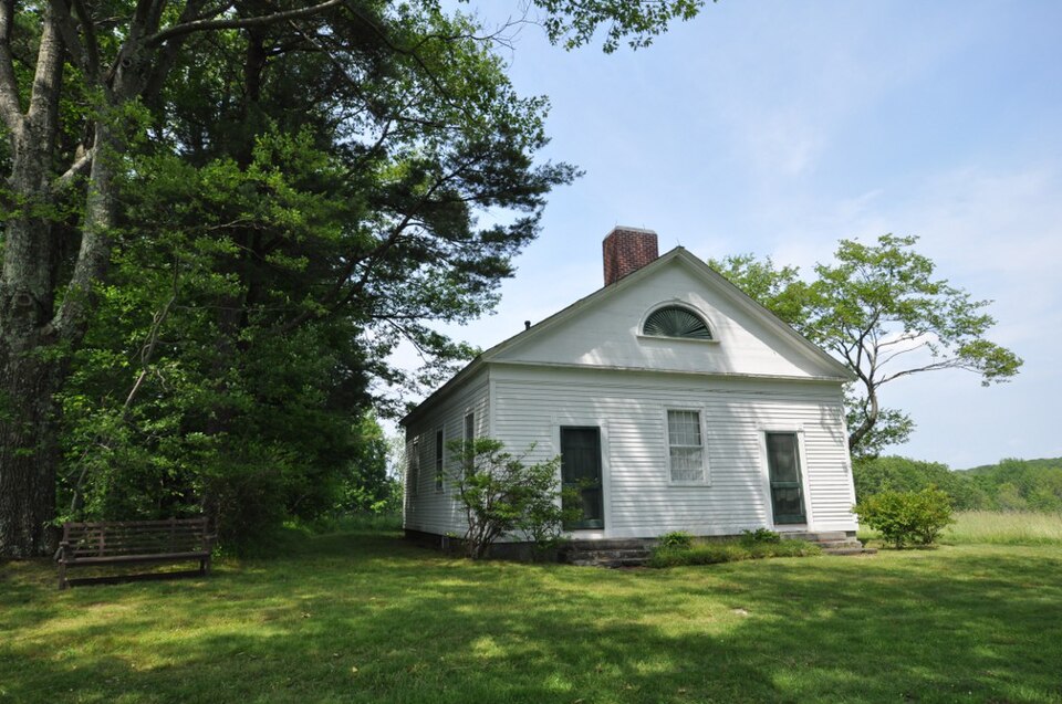
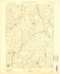
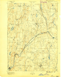
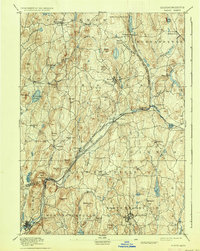
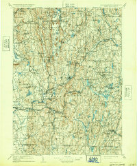
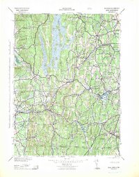
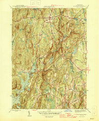
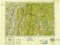
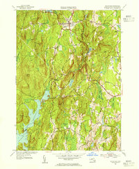
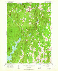
Listed on the National Register of Historic Places in 1989. 18 historic topographic surveys show this location, the earliest from 1887.
One of 686 National Register listings published here for Worcester County · listed in 1989 · category: Building.
Sources: the National Register database, National Park Service · the Wikipedia article
The chapter on Petersham Town in History of Worcester County, Massachusetts, published 1889 names Petersham. This is what it says, exactly as the scans read.
Some time in December I was appointed to take I he company raised in the towns of Petersham, Athol and Rutland, which was immediately filled by voluntary enlistment. I had enlisted as private soldiers thirteen old commissioned officers, among whom was Gen. Kufus Putnam, in whose regiment I had served during the War of the Revolution. Uuring these transactions Capt. Daniel Shays, commander-in-chief of the opposite party was not idle. He had collected, it was said, eight or ten thousand men, a part of whom, under the commaod of Luke Bay, were somewhere in the vicinity of West Springfield. Another large force commanded by Adam Wheeler collected first at Princeton, from thence marched to New Braintree, while Shays with the main body was in or near the town of Pelham. While Gen, Lincoln and his troops lay at Worcester, news arrived that Shays with his division was on the march to Springfield to tiike possession of the Continental stores, arms, ammunition, etc.. which were deposited there. Gen. Lincoln marched immediately to Brookfield, where he halted for the night. The next day we continued our march for Springfield, and white on the way sometime before noon we heard that Shays had reached there already and had had an encounter with Gen. Shepherd, who was there guarding the United States property with a detachment of government troops. We soon met stragglers from Shays' retreating troops, among others a sleigh with two or three dead men, who, as a soldier remarked, - " poor fellows, had had their grievances redressed forever," the "redress of grievances " being a term much in use among them. It was with no small grief that I now recognir-ed in one of the dead my old friend Spicer. ... I had known him as a faithful soldier through the war and as one who at various times had manifested much afl^ection for me. On our arrival at Springfield we found that Shays had made a rapid retreat towards Pelham, and Gen. Shepherd gave us the following account of the battle, if it could be termed such : ' Shays and his men were found to be rapidly marching to Springfield, where the Continental stores were deposited and guarded by Gen. Shepherd, who immediately sent out his aids with a flag to inform Shaj's that if he advanced any further he should fire upon him. He returned no answer, but continued marching more rapidly towards Shepherd, who then ordered his field-pieces loaded, some with balls and some with grape shot, and when within reach of the guns he ordered one of the field-pieces to be fired over the beads of the insurgents, which was quickly done, but they only quickened their march instead of baiting, as he had hoped they would do. Another piece was now ordered with as good aim as possible at the main body. This had the desired effect, a rapid and disorderly retreat, leaving their dead and one mortally wounded on the field. Gen. Shepherd remarked to me that at no time in his life was he called upon to perform so painful a duty as when he ordered good aim to be taken at Shays and his men, many of whom had fought at his side and stood firm through the most trying scenes of the late war. I had served under Shays and knew him to be a brave and good soldier or officer, and I can truly say that it was with no regret on my part that I had not reached here in season to see him and his mis' taken followers fired iipon as enemies.
Passage source: History of Worcester County, Massachusetts, published 1889.
While Sliays was advancing upon Springfield Capt. Day had collected a considerable force on the opposite side of the river at West Springfield to re enforce Shays if necessary. Therefore, soon as Lincoln's men had taken some refreshments we crossed the river to call Capt. Day to account for bis acts and deeds, but on our arrival we found that he, in hia wisdom, had thought best to disband his troops, and that neither he nor his kinsmen were to be found. We next marched to old Hadley, thinking it possible that Day might collect his men and attempt to join Shays at Pelham. Here we remained two or three days to refresh and wait for our artillery and stores to overtake us. About the third day of our tarry in Hadley, at sunset we received orders to march immediately as we supposed to Pelliam, but the fact was that Gen. Lincoln had received information that Shays had left Pelham and was on his way to Petersham. We left immediately, late as it was. The weather was comfortably warm, but about ten or twelve o'clock in the night the wind changed to the northwest, blew furiously, accompanied by a violent snow-squall, and became intolerably cold. The snow was deep, though a fine sleigh path would have made it good travelling had it not been that our artillery was in front with wheels so much wider than the path that the road was filled with loose snow, which rendered the travelling as uncomfortable as can well be imagined. We reached Petersham about sunrise next morning, tired, hungry and frozen, having travelled in the course of the night thirty miles, the hardest march I ever endured. I found myself badly frost-bitten, and found but two of my whole company who were not more or less frozen. Shays being informed that Gen . Lincoln was close in his rear thought it best to leave town, and so rapid were his movements that many left their provisions, and some on the fire preparing for breakfast. Our quartermaster had gone in front of us to look out for houses to lodge in, so when we reached the main street we had only to take possession of such as were pointed out to us, some of which were still occupied by Shays' men, who soon left and gave us a peaceable entrance. Never were a good fire and breakfast enjoyed more highly by any set of men. The main body of Shays' troops marched throngh the town to the northern hounds, which pass through a valley, and were inamensuro out of tho colJ wind. There tbey made a halt» probably to consider what was best to be done; either to make a firm stand and give Gen. Lincoln battle or to make a final retreat. It appears that they cbose the hitter, as many relumed to their homes.
Passage source: History of Worcester County, Massachusetts, published 1889.
Machine-read from a century-old scan, so expect the errors a machine makes: misspelled names, dropped words, stray characters.
Read the whole chapter on Petersham Town - 13,142 words on its settlement, mills, schools and churches.
Regional context, not property-specific evidence. The federal wildfire occurrence database lists 15 fires within 5 miles of Prescott Town House between 2015 and 2020, burning about 7 acres in total. None started naturally. None was recorded as arson. Distance is straight-line from the map coordinates, so a fire counted here may appear on a neighbouring settlement's page as well.
| Reported cause | Fires |
|---|---|
| Debris and open burning | 8 |
| Missing data/not specified/undetermined | 4 |
| Recreation and ceremony | 2 |
| Misuse of fire by a minor | 1 |
The most recent of them, most recent first, with the day each was reported and the service that recorded it.
| Date | Cause | Size | Reported by | Name on the report |
|---|---|---|---|---|
| 30 June 2016 | Debris and open burning | under an acre | Massachusetts Bureau of Forest Fire Control | not named |
| 16 June 2016 | Debris and open burning | under an acre | Massachusetts Bureau of Forest Fire Control | not named |
| 5 May 2018 | Recreation and ceremony | 1.0 acres | Massachusetts Bureau of Forest Fire Control | not named |
| 22 May 2015 | Missing data/not specified/undetermined | under an acre | Massachusetts Bureau of Forest Fire Control | not named |
| 18 May 2015 | Debris and open burning | under an acre | Massachusetts Bureau of Forest Fire Control | not named |
| 27 April 2015 | Missing data/not specified/undetermined | under an acre | Massachusetts Bureau of Forest Fire Control | not named |
| 22 April 2015 | Debris and open burning | under an acre | Massachusetts Bureau of Forest Fire Control | not named |
| 21 April 2018 | Debris and open burning | under an acre | Massachusetts Bureau of Forest Fire Control | not named |
Regional context, not property-specific evidence. Museums hold 1,705 specimens collected within 10 miles of Prescott Town House between 1839 and 1975: 944 Animalia, 455 Fungi, 282 Plantae, 15 Unrecorded, 9 Protozoa. 12 distinct Species records are shown. Collected by A. C. V. Schott, A. Melander, A. Melander & A. Melander and others. Each is a physical object with a catalogue number, and each entry opens the museum's record. This is what was collected and kept, not a survey of what lives here - nothing can be concluded from a species being absent.
| Image | Species | Year | Collected by | Where, as recorded |
|---|---|---|---|---|
 | Bartramia pomiformis Hedw. | 1839 | unknown | Barre |
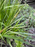 | Carex gracillima Schwein. | 1839 | M. S. Bebb | Barre |
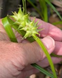 | Carex intumescens Rudge | 1839 | M. S. Bebb | Barre |
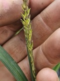 | Carex lacustris Willd. | 1839 | M. S. Bebb | Barre |
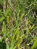 | Carex stipata Muhl. ex Willd. | 1839 | M. S. Bebb | Barre |
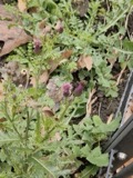 | Cirsium arvense (L.) Scop. | 1839 | M. S. Bebb | Barre |
 | Cypripedium acaule Aiton | 1839 | M. S. Bebb | Barre |
| Calyptospora goeppertiana J.G.Kühn | 1895 | not recorded | US, Massachusetts, Barre | |
| Vaccinium corymbosum L. | 1895 | not recorded | US, Massachusetts, Barre | |
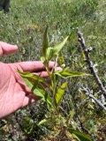 | Solidago uliginosa Nutt. | 1896 | G. T. Hastings | Tully. Tully Lake. |
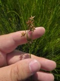 | Juncus nodosus L. | 1898 | G. T. Hastings | Tully Lake. |
| Polyporus cinnabarinus (Jacq.) Fr. | 1927 | Spaulding P. | Petersham |
All 1,705 specimens within 10 miles, at the Global Biodiversity Information Facility.
Regional context, not property-specific evidence. The federal mineral resources record lists 2 workings within 5 miles of Prescott Town House: 1 past producer, 1 occurrence. None of them still produces. What was taken out: Sand and Gravel, Construction, Iron. Distance is straight-line from the map coordinates, so a quarry counted here may appear on a neighbouring settlement's page as well.
| Where | Site | Commodity | Status | Recorded |
|---|---|---|---|---|
| Clarks Pit | Sand and Gravel, Construction | Past Producer | ||
| Jagger Mine | Iron | Occurrence | 1845 |
Regional context, not property-specific evidence. The National Weather Service names Petersham, the town this property stands in, in 8 storm reports between 2001 and 2018: 4 hail, 3 thunderstorm wind, 1 lightning. No death or injury is recorded in these reports. Each account below is quoted exactly as the forecast office filed it, from the NOAA Storm Events Database, and each date opens the federal record of that event.
| When | Event | Place named | Harm | What the report says |
|---|---|---|---|---|
| July 2005 | Lightning | Petersham | $50,000 | no account filed |
| September 2010 | Hail | Petersham | $30,000 | Quarter to ping pong ball size hail fell for 8 minutes across Petersham. Accumulated hail reached depths up to 6 inches in spots. Some roof damage was reported as well as a few dented cars. Hail could still be seen in spots up to 14 hours after it fell. |
| July 2008 | Thunderstorm Wind | Petersham | $3,000 | Trees at the intersection of Route 122 and Barre Road were downed by thunderstorm winds. |
| August 2017 | Thunderstorm Wind | Petersham | $2,000 | At 412 PM EST, a trained spotter reported two tree down on Route 32A in Petersham. |
| August 2018 | Thunderstorm Wind | Petersham | $1,000 | At 11:44 AM EST, a tree was reported down across State Route 32 in Petersham. |
| August 2015 | Hail | Petersham | - | Hail up to the size of half dollars covered the common. |
| August 2015 | Hail | Petersham | - | no account filed |
| August 2001 | Hail | Petersham | - | no account filed |
United States Geological Survey topographic sheets whose coverage includes this point. Matched by taking the coordinate the National Park Service records for this property, then testing that coordinate against the published boundary of every sheet.
Other National Register properties close enough to walk or drive between, ordered by distance from this one. Both positions come from the same geocoding pass that matched these properties to their map sheets.
| Photograph | Property | Distance | Listed |
|---|---|---|---|
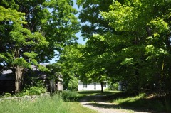 | Holland-Towne House | 0.1 miles | 1990 |
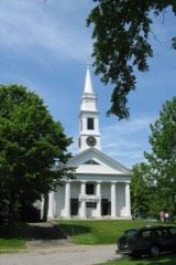 | Petersham Common Historic District | 0.6 miles | 1982 |
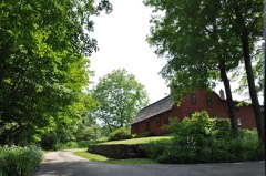 | Gay Farm | 2.4 miles | 1977 |
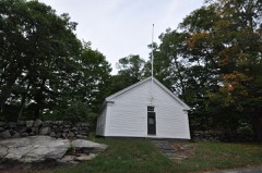 | District No. 4 School | 2.9 miles | 2016 |
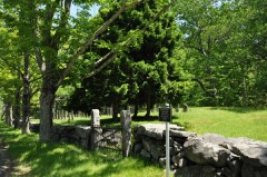 | Searles Hill Cemetery | 3.7 miles | 2011 |
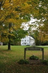 | Phillipston Center Historic District | 4.4 miles | 1999 |
| National Archives record | The nomination case file for reference 89000043 in Record Group 79. |
| Wikipedia article | Community-written account of this property, licensed CC BY-SA. |
| Worcester County | All 686 listed properties in this county. |