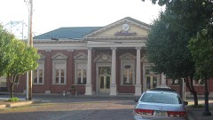
Listed on the National Register of Historic Places in
1990. A historic map-sheet match is not published yet. The record needs a coordinate-quality review before it can be joined to a sheet boundary.
From the record
one of 16 National Register listings in Lawrence County · listed in 1990 · category: Structure.
National Register reference number.89001714- the number the National Park Service assigned this property when it was listed, and the key its nomination file is catalogued under at the National Archives.
The ground it stands on
106 words
This property stands in Elizabeth Township. Queen Elizabeth, published 1900 gives that township a chapter of its own.
The chapter covers the township.
Machine-read from a century-old scan, so
expect the errors a machine makes: misspelled names, dropped words,
stray characters.
Regional context, not property-specific
evidence. The
federal wildfire occurrence database
lists 411 fires within 5 miles of Vesuvius Furnace between
1992 and 2020, burning about 2,161 acres in total. 2 started naturally. 112 were recorded as arson.
Distance is straight-line from the map coordinates, so a fire counted
here may appear on a neighbouring settlement's page as well.
Reported cause
Fires
Debris and open burning
165
Arson/incendiarism
112
Missing data/not specified/undetermined
66
Equipment and vehicle use
27
Other causes
12
Recreation and ceremony
12
Power generation/transmission/distribution
6
Misuse of fire by a minor
4
Smoking
4
Natural
2
Railroad operations and maintenance
1
The most recent of
them, most recent first, with the day each was reported and the service
that recorded it.
Regional context, not property-specific
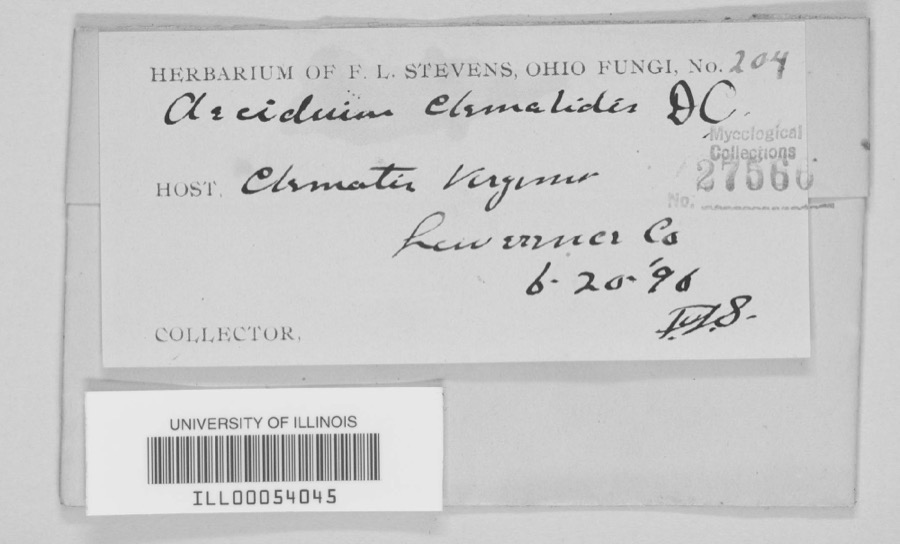
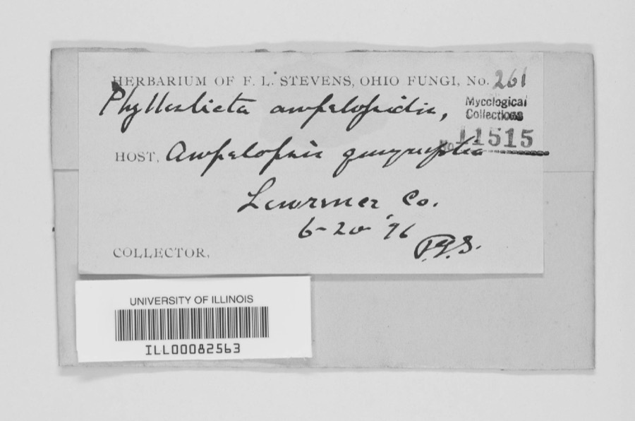
evidence. Museums hold 453 specimens
collected within 10 miles of Vesuvius Furnace between 1890 and
1972: 332 Animalia, 66 Fungi, 54 Plantae, 1 Unrecorded. 12 distinct Species records are shown.
Collected by Avery W. B., Bartholomew E., Bartholomew Elam and others. Each is a
physical object with a catalogue
number, and each entry opens the museum's record. This is what was
collected and kept, not a survey of what lives here - nothing can be
concluded from a species being absent.
Regional context, not property-specific
evidence. The federal mineral resources record lists
9 workings within 5 miles of Vesuvius Furnace: 5 past producers, 3 producers, 1 plant.
4 still produce. What was taken out: Clay, Clay, Coal, Stone, Crushed/Broken. Distance is straight-line from the
map coordinates, so a quarry counted here may appear on a neighbouring
settlement's page as well.
Regional context, not property-specific
evidence. The National Weather Service names
Ironton, the town this property stands in, in 39 storm reports between 1993 and 2015: 19 thunderstorm wind, 17 hail, 1 flash flood, 1 funnel cloud.
No death or injury is recorded in these reports. Each account below is quoted exactly as the forecast office
filed it, from the NOAA Storm Events Database, and each date
opens the federal record of that event.
Several small streams, including Symmes Creek flooded on the 4th into the 5th. The Ohio River caused minor flooding and road closures to continue into the 7th.
On South Third Street, a vacant building saw an entire wall of bricks blown out from its upper floor. The bricks toppled to the sidewalk below. One tree on Sixth Street fell onto a parked car. Trash cans, potted plants, lawn furniture and other debris were blown around town.
Fallen trees damaged the roofs of two businesses and one house. Cars were also damaged. Urban runoff from the downpour flooded the police station when a sump pump failed.
Trees were uprooted. One hard hit region was Kitts Hill area, where Crow Ridge and Homeless Roads had power lines blown down. One car was reported crushed by a fallen tree.
1 paper published in this town,
digitised by the Library of Congress and free to read: 0 issues,
0 pages. Every page is searchable, so a name or a street can be
looked for directly in what the town printed about itself at the time.
No historic map-sheet match is published
for this property yet. That does not mean no map exists. This record needs
a coordinate-quality review before it can be joined to a sheet boundary.
Browse the county's mapped places while that work is
pending.
From the nomination file
4,506 words on record
When this property was proposed for the
National Register, someone wrote the case for it: what the building is,
and why it matters. That document is a federal record in the public domain.
It is quoted below word for word, never summarised. The text was read off the scanned case file by machine, so the
occasional stray character is the recogniser's and the 1970s
typewriter's.
Statement of significance
Applicable National Register Criteria XAB XC _D WPA - Bridge State significance of property, and justify criteria, criteria considerations, and From a technological standpoint (significant contribution to broad patterns of method of ore processing, a technique which was widely adopted by American industry Hanging Rock Iron Region (Ohio, West Virginia and Kentucky), and it was the last the best preserved of the 12 iron furnaces remaining in Lawrence County, Ohio, and is The stone bridge is significant from an architectural standpoint as an elaborate X See continuation sheet 1832-1905 1940 TRANSPORTATION INDUSTRY Significant Person Cultural Affiliation Architect/Builder areas and periods of significance noted above.
Certifying official has considered the significance of this property in relation to other properties: ironclad Monitor),and in providing railroad supplies which helped develop the the most important industrial activity in this multi-state area.
The Vesuvius Furnace has several charactistics which qualify it as a significant technology.The iron produced by Vesuvius and other furnaces in Lawrence County was from instructions) critical to providing the Union with armaments during the Civil War the _locally The historic context of the Vesuvius furnace involves the growth of American furnace in the region to cease operations.From an architectural is X nationally example of Depression-era public works construction (embodies distinctive asthetic use of stone, very different from the structural use made of the material Areas of Significance categories - statewide Dates Criteria Considerations (Exceptions) _ the best known furnace in southeast Ohio, visited by thousands of people every year.
to replace many unsafe bridges that existed at this time. This was also a period of construction program served to provide needed jobs for Ohio's unemployed workers and artistic expression - bridges designed during this period were among the most Period of Significance Significant bridge inventory report completed in 1983.
Quoted from the National Register nomination
for reference 89001714, 36 pages, held by the National Archives in Record
Group 79. See the
catalogue record.
Listed places nearby
6 within 8 miles
Other National Register properties close
enough to walk or drive between, ordered by distance from this one. Both
positions come from the same geocoding pass that matched these properties
to their map sheets.
Listing record. National Park Service National Register of Historic Places, listed-properties dataset, current to 2026-05-22.
Map join. Address geocoded through the United States Census geocoder, then tested against the published boundary of every sheet in the USGS Historical Topographic Map Collection.
How this page is made. Listing fields come from federal records; map-sheet coverage is a labelled coordinate-to-boundary calculation, not a source-field claim.
Wildfire. Short, Karen C. 2022. Spatial wildfire occurrence data for the United States, 1992-2020 [FPA_FOD_20221014]. 6th Edition. Fort Collins, CO: Forest Service Research Data Archive. https://doi.org/10.2737/RDS-2013-0009.6 Collected with United States Government funding and usable without additional permissions or fees.
Specimens. Global Biodiversity Information Facility (GBIF), https://www.gbif.org/. Only records licensed CC0 or CC BY are used. Records licensed CC BY-NC are excluded because this site carries advertising. Images are checked individually and any whose licence is non-commercial, no-derivatives or unreadable is refused.
Mines and quarries. USGS Mineral Resources Data System (MRDS) https://mrdata.usgs.gov/mrds/ A work of the United States government, no copyright under 17 U.S.C. 105.
Storms. NOAA National Centers for Environmental Information, Storm Events Database https://www.ncei.noaa.gov/stormevents/ A work of the United States government, no copyright under 17 U.S.C. 105. Narratives are quoted verbatim from the National Weather Service report and are not edited or summarised.
 Block
Block