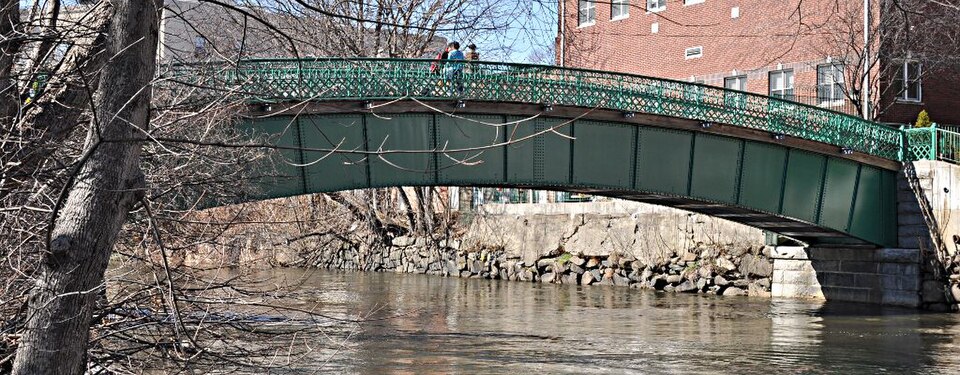
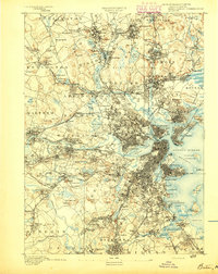
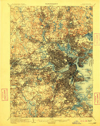
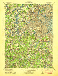
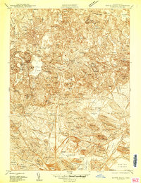
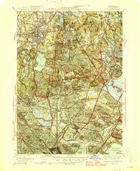
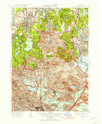
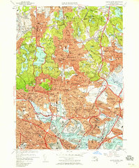
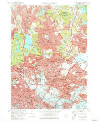
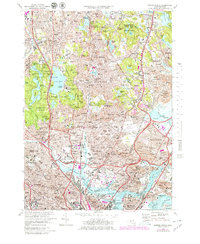
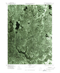
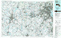
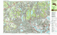
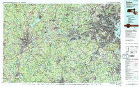
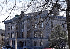
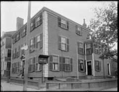
Built in 1897. Listed on the National Register of Historic Places in 1990. 17 historic topographic surveys show this location, the earliest from 1893.
From the record
“Water-rates are to be charged the same as now fixed in Charlestown, with the privilege of raising them above Charlestown rates in certain contingencies ; Charlestown to collect the water-rents, and to pay to these towns and cities fifteen per cent on amounts less than $20,000, and from $20,000 to $30,000 twenty per cent, less the amount of charge for hydrants and other incidental expenses. At the last annual town-meeting, it was voted to accept the Act to authorize the town of Medford to procure a supply of water ; which Act simply authorized Charlestown to supply Med'ford with water, upon such terms as might be agreed upon between said city and town, and therefore conferred no special privileges upon the town.”
History of the Town of Medford, Middlesex County, Massachusetts, from Its First Settlement in 1630 to 1855 (1886). Machine-read text.
One of 1,353 National Register listings published here for Middlesex County · listed in 1990 · category: Structure · built in 1897.
Also known as. Water Supply System of Metropolitan Boston MPS
City. Medford city
When was it built? 1897
National Register reference number.89002253- the number the National Park Service assigned this property when it was listed, and the key its nomination file is catalogued under at the National Archives.
In writing this History, it has been my -wish to secure Medford such territory in time as its acres are territory in space. The gathering of these annals has been too long delayed. Time, moth, and rust have done thenfatal work on many valuable materials ; and some gentlemen, who felt a deep interest in their native town, have died without leaving any manuscript testimonies. When the history of New England shall be written, the true data will be drawn from the records of its towns. Now, therefore, in humble imitation of those States in our Union which have contributed each its block of granite, marble, or copper to the National Monument at Washington, I ask leave to offer Medford's historical contribution to the undecaying pyramidic monument which justice and genius will hereafter raise to the character and institutions of New England.
The records of the first forty years are lost. I have reproduced them, as far as I could, from documents in the General Court relating to our earliest history ; from several monuments of the first settlers, which are yet standing among us ; from authentic traditions which were early recorded ; and from collateral histories of the neighboring towns. To find the lost, and remember the forgotten, seems to be the province of the local annalist. From the moment I reached the first town-records of Medford (1674), I implicitly followed those excellent guides. Where I could save space by abbreviations, without altering the sense, I have occasionally done so in my quotations, and have used our modern orthography. The spirit of antiquarian research, now beginning to show itself, will lead to the discovery of many facts concerning the early history of Medford which are beyond my reach. These may soon render necessary a new history of the town ; and I hope it may be undertaken by a person whose ability and leisure will enable him to do far greater justice to the subject than has been within my power.
Regional context, not property-specific
evidence. The
federal wildfire occurrence database
lists 81 fires within 5 miles of Medford Pipe Bridge
between 2015 and 2020, burning about 107 acres in total. None started naturally. 30 were recorded as arson.
Distance is straight-line from the map coordinates, so a fire counted
here may appear on a neighbouring settlement's page as well.
Reported cause
Fires
Arson/incendiarism
30
Missing data/not specified/undetermined
22
Debris and open burning
13
Recreation and ceremony
10
Smoking
3
Misuse of fire by a minor
2
Equipment and vehicle use
1
The most recent of
them, most recent first, with the day each was reported and the service
that recorded it.
Regional context, not property-specific
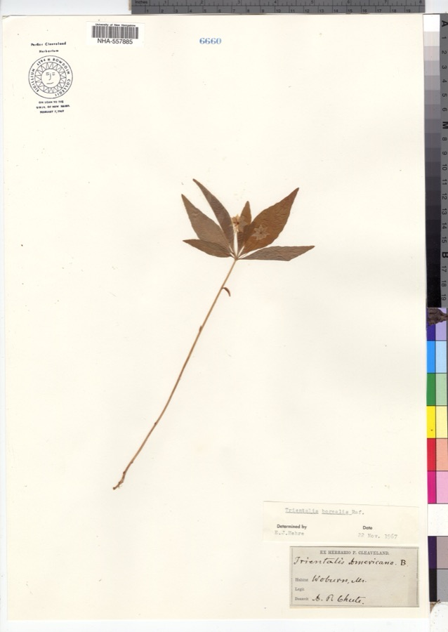
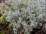
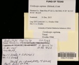
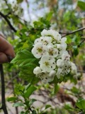
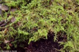
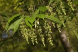
evidence. Museums hold 1,790 specimens
collected within 10 miles of Medford Pipe Bridge between 1898 and 1975: 797 Animalia, 542 Plantae, 385 Fungi, 28 Protozoa, 17 Bacteria, 12 Chromista, 9 Unrecorded.
12 distinct Species records are shown.
Collected by ?, A B Seymour, A B. Proper and others. Each is a
physical object with a catalogue
number, and each entry opens the museum's record. This is what was
collected and kept, not a survey of what lives here - nothing can be
concluded from a species being absent.
Regional context, not property-specific
evidence. The federal mineral resources record lists
18 workings within 5 miles of Medford Pipe Bridge: 10 plants, 5 past producers, 2 producers, 1 unknown.
12 still produce. What was taken out: Iron, Stone, Crushed/Broken, Lead, Gypsum-Anhydrite. Distance is straight-line from the
map coordinates, so a quarry counted here may appear on a neighbouring
settlement's page as well.
Regional context, not property-specific
evidence. The National Weather Service names
Medford, the town this property stands in, in 20 storm reports between 1994 and 2025: 14 thunderstorm wind, 3 flood, 1 flash flood, 1 hail.
No death or injury is recorded in these reports. Each account below is quoted exactly as the forecast office
filed it, from the NOAA Storm Events Database, and each date
opens the federal record of that event.
Trees were downed on Corey Street and Riverside Avenue. A telephone pole was downed onto Massachusetts Avenue and wires on Lawrence Street were downed, all by thunderstorm winds.
At 12:52 AM EST, a large tree was down on a car and laying across Auburn Street in Medford. At the same time, a tree was reported down on Summer Street and a large tree was down on George Street.
In Winchester, a large tree was down on a house, which took the chimney off the house on Alden Lane. A tree was down on Cambridge Street by the boat club. A tree was down on wires on wires on the 30 block of Allen Road. Trees and wires were down on Ledyard Road. A tree was down on the 70 block of Lawson Road.
In Medford, multiple trees were reported downed. In Somerville, a tree was down on a house on Vernon Street and a large branch was down on power lines on Walker Street.
United States Geological Survey topographic
sheets whose coverage includes this point. Matched by taking the coordinate the National Park Service records for this property, then
testing that coordinate against the published boundary of every sheet.
When this property was proposed for the
National Register, someone wrote the case for it: what the building is,
and why it matters. That document is a federal record in the public domain.
It is reproduced in full on its own page, word for word and never summarised. The text was read off the scanned case file by machine, so the
occasional stray character is the recogniser's and the 1970s
typewriter's.
Quoted from the National Register nomination
for reference 89002253, 9 pages, held by the National Archives in Record
Group 79. See the
catalogue record.
Listed places nearby
6 within 8 miles
Other National Register properties close
enough to walk or drive between, ordered by distance from this one. Both
positions come from the same geocoding pass that matched these properties
to their map sheets.
Listing record. National Park Service National Register of Historic Places, listed-properties dataset, current to 2026-05-22.
Map join. Address geocoded through the United States Census geocoder, then tested against the published boundary of every sheet in the USGS Historical Topographic Map Collection.
How this page is made. Listing fields come from federal records; map-sheet coverage is a labelled coordinate-to-boundary calculation, not a source-field claim.
Wildfire. Short, Karen C. 2022. Spatial wildfire occurrence data for the United States, 1992-2020 [FPA_FOD_20221014]. 6th Edition. Fort Collins, CO: Forest Service Research Data Archive. https://doi.org/10.2737/RDS-2013-0009.6 Collected with United States Government funding and usable without additional permissions or fees.
Specimens. Global Biodiversity Information Facility (GBIF), https://www.gbif.org/. Only records licensed CC0 or CC BY are used. Records licensed CC BY-NC are excluded because this site carries advertising. Images are checked individually and any whose licence is non-commercial, no-derivatives or unreadable is refused.
Mines and quarries. USGS Mineral Resources Data System (MRDS) https://mrdata.usgs.gov/mrds/ A work of the United States government, no copyright under 17 U.S.C. 105.
Storms. NOAA National Centers for Environmental Information, Storm Events Database https://www.ncei.noaa.gov/stormevents/ A work of the United States government, no copyright under 17 U.S.C. 105. Narratives are quoted verbatim from the National Weather Service report and are not edited or summarised.
 Block