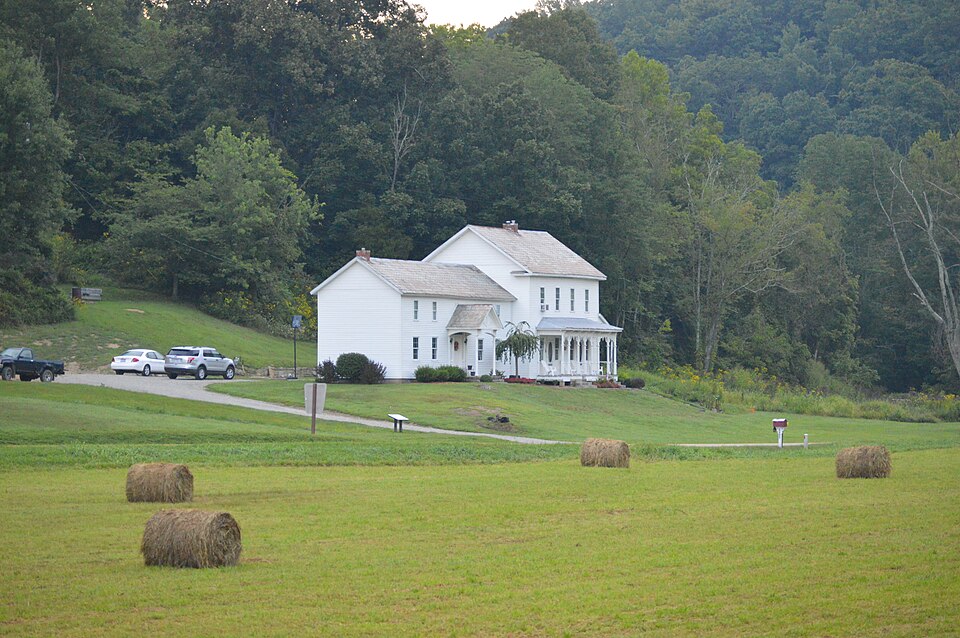
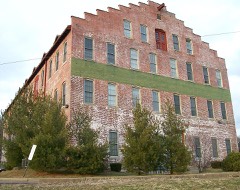
Listed on the National Register of Historic Places in
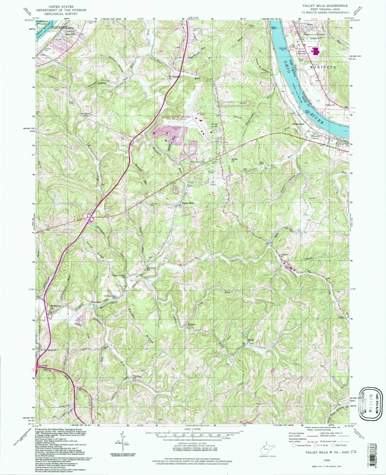
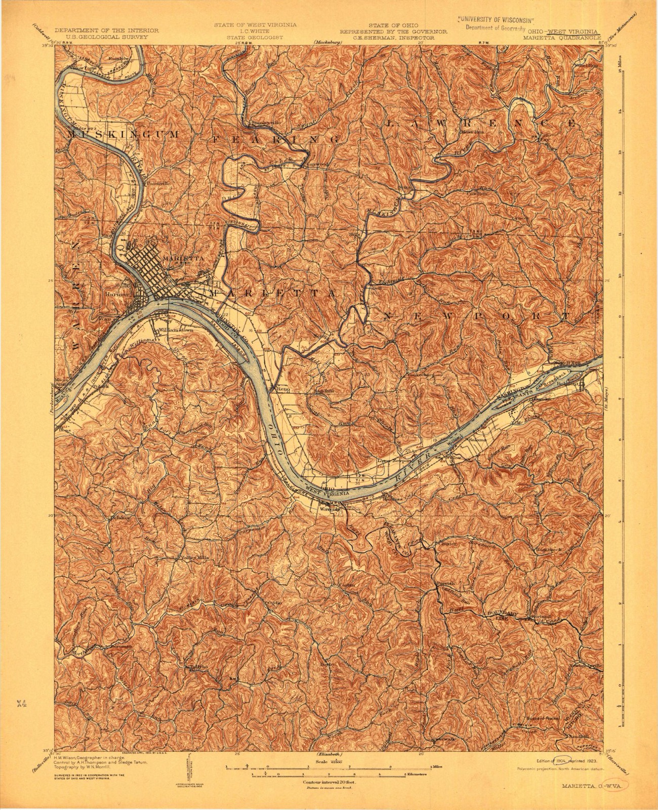
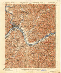
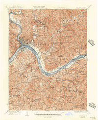
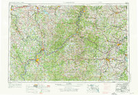
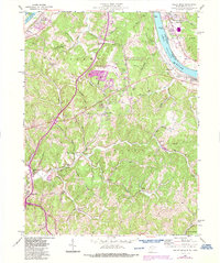
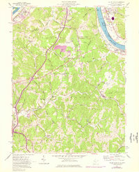
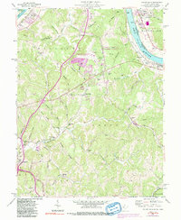
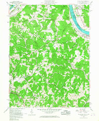
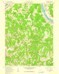
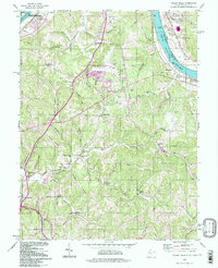
1991. 17 historic map sheets show this location, the earliest from 1904.
From the record
one of 39 National Register listings in Washington County · listed in 1991 · category: BUILDING · significant for EXPLORATION/SETTLEMENT; ARCHITECTURE · one of 1 National Historic Landmarks in Washington County.
Area of significance. EXPLORATION/SETTLEMENT; ARCHITECTURE
Acreage. 297.5
Also known as. Hune--Heldman Farm
Township. Marietta township
National Register reference number.91000303- the number the National Park Service assigned this property when it was listed, and the key its nomination file is catalogued under at the National Archives.
Then and now
1904 to 1994
The ground this property stands on, surveyed
90 years apart. Drag the handle to wipe between them. Both sheets are
United States Geological Survey originals; neither has been altered.
Regional context, not property-specific
evidence. The
federal wildfire occurrence database
lists 32 fires within 5 miles of Hune, William, Farm between
1992 and 2020, burning about 34 acres in total. 2 started naturally. 2 were recorded as arson.
Distance is straight-line from the map coordinates, so a fire counted
here may appear on a neighbouring settlement's page as well.
Reported cause
Fires
Debris and open burning
16
Equipment and vehicle use
4
Power generation/transmission/distribution
3
Arson/incendiarism
2
Natural
2
Missing data/not specified/undetermined
2
Misuse of fire by a minor
1
Smoking
1
Other causes
1
The most recent of
them, most recent first, with the day each was reported and the service
that recorded it.
Regional context, not property-specific
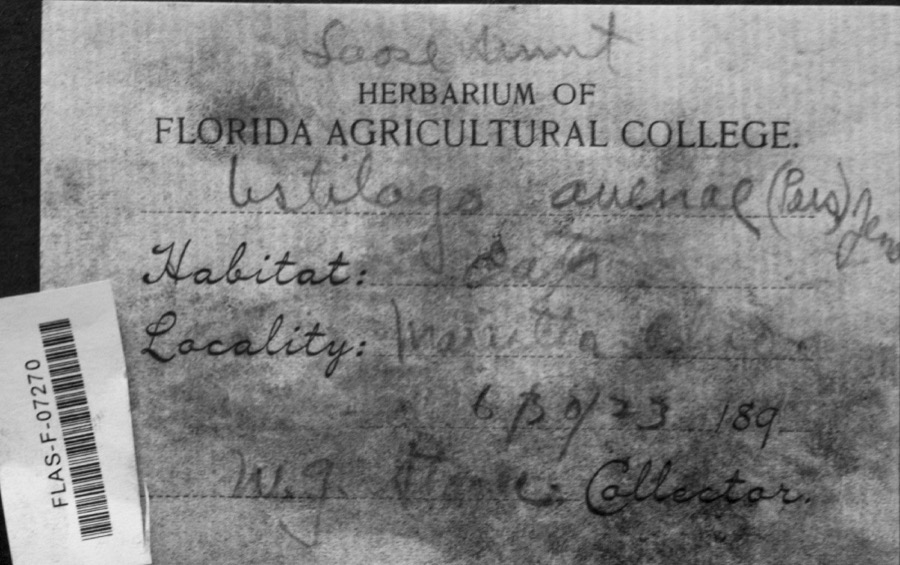
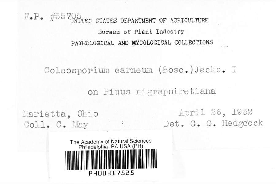
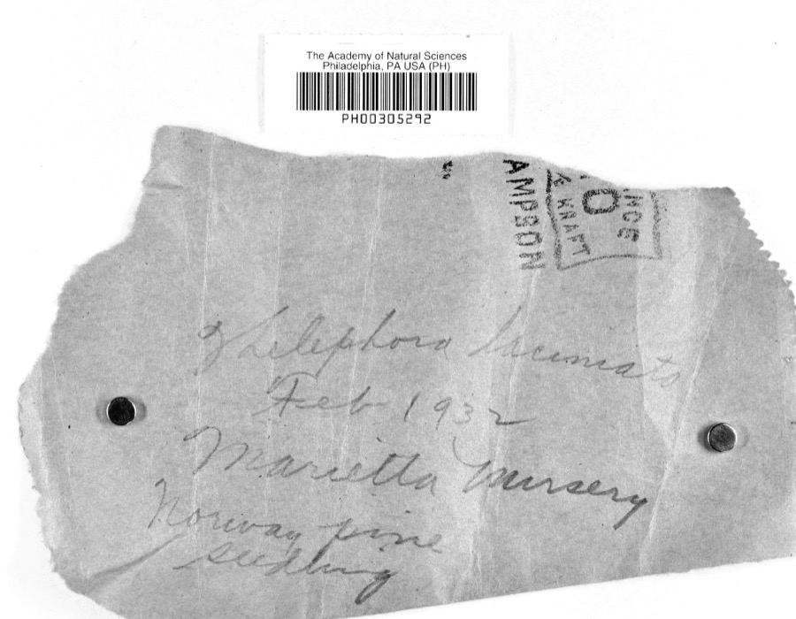
evidence. Museums hold 1,138 specimens
collected within 10 miles of Hune, William, Farm between 1853 and
1975: 1,049 Animalia, 54 Fungi, 33 Plantae, 1 Unrecorded, 1 Chromista. 12 distinct Species records are shown.
Collected by A. D. Selby, A. Drew, A. L. McElhose and others. Each is a
physical object with a catalogue
number, and each entry opens the museum's record. This is what was
collected and kept, not a survey of what lives here - nothing can be
concluded from a species being absent.
Regional context, not property-specific
evidence. The federal mineral resources record lists
2 workings within 5 miles of Hune, William, Farm: 2 producers.
All of them still produce. What was taken out: Iron, Manganese, Stone, Crushed/Broken. Distance is straight-line from the
map coordinates, so a quarry counted here may appear on a neighbouring
settlement's page as well.
Regional context, not property-specific
evidence. The National Weather Service names
Reno, the town this property stands in, in 16 storm reports between 1996 and 2026: 8 thunderstorm wind, 5 hail, 2 flash flood, 1 lightning.
No death or injury is recorded in these reports. Each account below is quoted exactly as the forecast office
filed it, from the NOAA Storm Events Database, and each date
opens the federal record of that event.
State Route 7 was flooded near Newport. Long Run Road was closed near Sandhill due to flooding on Long Run. Near Morningside, County House Lane was flooded, and so was Cornerstone Drive near Cornerville.
United States Geological Survey topographic
sheets whose coverage includes this point. Matched by geocoding the centre of Reno, because the National Register records a descriptive location rather than a street address, then
testing that coordinate against the published boundary of every sheet.
When this property was proposed for the
National Register, someone wrote the case for it: what the building is,
and why it matters. That document is a federal record in the public domain.
It is quoted below word for word, never summarised. The text was read off the scanned case file by machine, so the
occasional stray character is the recogniser's and the 1970s
typewriter's.
Statement of significance
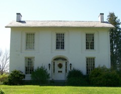
Applicable National Register Criteria Areas of Significance (enter categories from instructions) Period of Significance Significant Dates Exploration/Settlement Cultural Affiliation small crossroads hamlet of Lawrence. The barn and house were built by William Hune sandstone for the new wing foundation was quarried at the same time as for the Hune Covered Bridge across the road (NR: 10/76). The half basement in the new wing is the kitchen with a stone cooking hearth. Access to Bedroom access is from a common hall that runs the length of the second floor to The At a time when most of their neighbors were living in small log or frame structures in Iintel in the Patterson House (OHI WAS-673-11) is also used as an interior decoration in from this observation.
squat proportions and parallel gable end addition as opposed to a rear ell addition. size of the later addition testifles to the wealth and prominence of the Hune family in X See continuation sheet 1865-1912 1870 Significant Person Architecture Architect/Builder 1879 William Henning State significance of property, and justify criteria, criteria considerations, and areas and periods of significance noted above. Settlement who became a prosperous merchant and farmer. can be discerned between this structure and that of its neighbors.The porch's decorative the community of Lawrence.
two identical doorways:one entering the parlor and the other opening into the dining Criteria Considerations (Exceptions) century rural vernacular farmstead that impacted the settlement and development of the 1875 Atlas of Washington County, Ohio by D. J. Lake and the oral and written family historles, the older part of this house was constructed in 1865 and was moved nearby to the kitchen was gained from the dining room above, or from an outside entrance. There are corner brackets are more elaborate than any others in the region.
Quoted from the National Register nomination
for reference 91000303, 44 pages, held by the National Archives in Record
Group 79. See the
catalogue record.
Listed places nearby
6 within 8 miles
Other National Register properties close
enough to walk or drive between, ordered by distance from this one. Both
positions come from the same geocoding pass that matched these properties
to their map sheets.
Listing record. National Park Service National Register of Historic Places, listed-properties dataset, current to 2026-05-22.
Map join. Address geocoded through the United States Census geocoder, then tested against the published boundary of every sheet in the USGS Historical Topographic Map Collection.
How this page is made. Listing fields come from federal records; map-sheet coverage is a labelled coordinate-to-boundary calculation, not a source-field claim.
Wildfire. Short, Karen C. 2022. Spatial wildfire occurrence data for the United States, 1992-2020 [FPA_FOD_20221014]. 6th Edition. Fort Collins, CO: Forest Service Research Data Archive. https://doi.org/10.2737/RDS-2013-0009.6 Collected with United States Government funding and usable without additional permissions or fees.
Specimens. Global Biodiversity Information Facility (GBIF), https://www.gbif.org/. Only records licensed CC0 or CC BY are used. Records licensed CC BY-NC are excluded because this site carries advertising. Images are checked individually and any whose licence is non-commercial, no-derivatives or unreadable is refused.
Mines and quarries. USGS Mineral Resources Data System (MRDS) https://mrdata.usgs.gov/mrds/ A work of the United States government, no copyright under 17 U.S.C. 105.
Storms. NOAA National Centers for Environmental Information, Storm Events Database https://www.ncei.noaa.gov/stormevents/ A work of the United States government, no copyright under 17 U.S.C. 105. Narratives are quoted verbatim from the National Weather Service report and are not edited or summarised.
 Block
Block