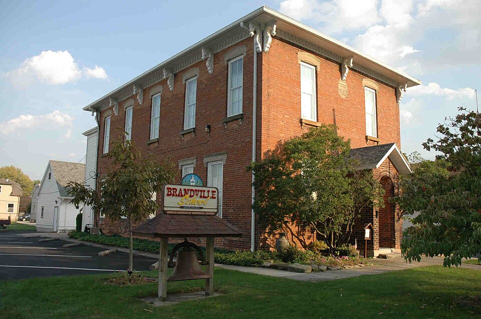
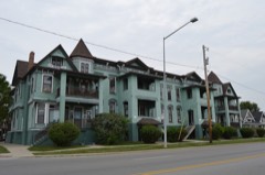
Listed on the National Register of Historic Places in
1994. A historic map-sheet match is not published yet. The record needs a coordinate-quality review before it can be joined to a sheet boundary.
From the record
one of 65 National Register listings in Lucas County · listed in 1994 · category: Building · one of 2 National Historic Landmarks in Lucas County.
National Register reference number.94000595- the number the National Park Service assigned this property when it was listed, and the key its nomination file is catalogued under at the National Archives.
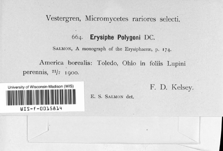
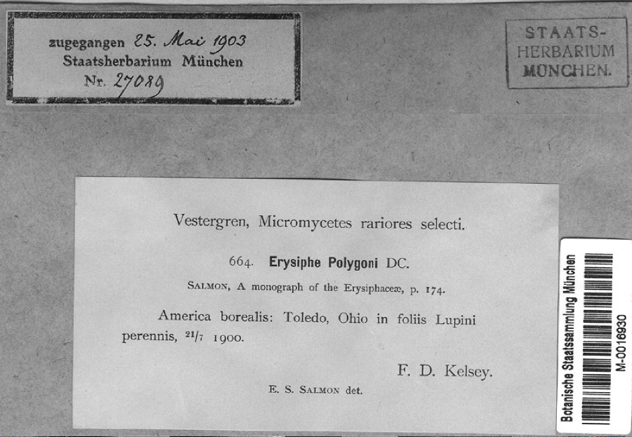
Specimens collected near this property
12 of 1,378 shown
Regional context, not property-specific
evidence. Museums hold 1,378 specimens
collected within 10 miles of Brandville School between 1863 and
1975: 1,167 Animalia, 159 Fungi, 41 Plantae, 6 Protozoa, 3 Chromista, 2 Unrecorded. 12 distinct Species records are shown.
Collected by AS Hazzard & party, Aborn, R., Anson A. Hinkley and others. Each is a
physical object with a catalogue
number, and each entry opens the museum's record. This is what was
collected and kept, not a survey of what lives here - nothing can be
concluded from a species being absent.
Regional context, not property-specific
evidence. The federal mineral resources record lists
6 workings within 5 miles of Brandville School: 4 producers, 1 past producer, 1 plant.
5 still produce. What was taken out: Iron, Sand and Gravel, Construction, Sulfur. Distance is straight-line from the
map coordinates, so a quarry counted here may appear on a neighbouring
settlement's page as well.
Regional context, not property-specific
evidence. The National Weather Service names
Oregon, the town this property stands in, in 14 storm reports between 1995 and 2018: 8 thunderstorm wind, 6 hail.
No death or injury is recorded in these reports. Each account below is quoted exactly as the forecast office
filed it, from the NOAA Storm Events Database, and each date
opens the federal record of that event.
Thunderstorm winds downed some trees, utility poles and large limbs east of Oregon in eastern Lucas County. The wind gusts also tore some metal roofing off a building.
Trees and limbs were downed, some on power lines. Significant damage occurred at Maumee Bay State Park where a camper was flipped over and awnings were blown from several other campers. Several buildings were damaged by falling trees and a boardwalk recreational path was also damaged by falling trees.
No historic map-sheet match is published
for this property yet. That does not mean no map exists. This record needs
a coordinate-quality review before it can be joined to a sheet boundary.
Browse the county's mapped places while that work is
pending.
From the nomination file
2,704 words on record
When this property was proposed for the
National Register, someone wrote the case for it: what the building is,
and why it matters. That document is a federal record in the public domain.
It is quoted below word for word, never summarised. The text was read off the scanned case file by machine, so the
occasional stray character is the recogniser's and the 1970s
typewriter's.
Statement of significance
Significant Dates : - 1883-84, 1899, 1918 to other properties: Locally Period(s) of Significance:1883 - 1926 ARCHITECTURE Wood Materials: foundation Certifying official has considered the significance of this property in relation Areas of Significance: roof Asphalt Describe present and historic physical appearance.X See continuation sheet. NPS Form 10-900-a OMB Approval No. 1024-0018 Page 1 Grasser Street, in the City of Oregon, Lucas County, Ohio. Constructed of brick, the two story, rectangular-shaped school a stairway and chairlift to the second floor, and a small kitchen (Photo #4) - pine flooring, wainscoting and molding (Photo #8), and an 189g slate blackboards, removed in 1926, were reinstalled in the 1980's (Photo #6) - elevation. family dwellings.
National Park Service Significant interior schoolhouse features include original yellow (8-86) United States Department of the Interior replaced with windows.Inside, the two stairways were replaced by property is part of a residential neighborhood composed of single- The building originally had separate side entrances (one for males CONTINUATION SHEET porch with a round arch opening and gable roof was added onto it building sits on a limestone foundation and features a three-bay windows, which have stone segmental arch hood molds on upper story The Brandville School has undergone several changes over the years.
The building retains the original four-over-four double-hung Replacing the side entrances, a single front entrance was created and one for females),each of which led to a separate stairway to wood-framed rear addition, constructed in 1986, includes restrooms, The Brandville School and portable building are located at 1133 facade and five-bay north and south elevations #1,2).A in the center of the building facade, and a small brick entrance The wide overhanging eaves of the low hip roof have a flat soffit.
Quoted from the National Register nomination
for reference 94000595, 25 pages, held by the National Archives in Record
Group 79. See the
catalogue record.
Listed places nearby
6 within 8 miles
Other National Register properties close
enough to walk or drive between, ordered by distance from this one. Both
positions come from the same geocoding pass that matched these properties
to their map sheets.
Listing record. National Park Service National Register of Historic Places, listed-properties dataset, current to 2026-05-22.
Map join. Address geocoded through the United States Census geocoder, then tested against the published boundary of every sheet in the USGS Historical Topographic Map Collection.
How this page is made. Listing fields come from federal records; map-sheet coverage is a labelled coordinate-to-boundary calculation, not a source-field claim.
Specimens. Global Biodiversity Information Facility (GBIF), https://www.gbif.org/. Only records licensed CC0 or CC BY are used. Records licensed CC BY-NC are excluded because this site carries advertising. Images are checked individually and any whose licence is non-commercial, no-derivatives or unreadable is refused.
Mines and quarries. USGS Mineral Resources Data System (MRDS) https://mrdata.usgs.gov/mrds/ A work of the United States government, no copyright under 17 U.S.C. 105.
Storms. NOAA National Centers for Environmental Information, Storm Events Database https://www.ncei.noaa.gov/stormevents/ A work of the United States government, no copyright under 17 U.S.C. 105. Narratives are quoted verbatim from the National Weather Service report and are not edited or summarised.
 Block
Block