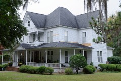
Block
From the record
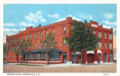
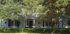
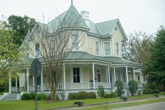
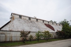
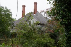
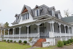
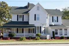
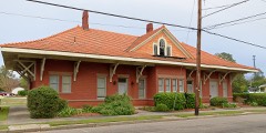
52 National Register listings published here, 1 of them a National Historic Landmark.
Sources: the National Register database, National Park Service
46 topographic sheets and 15 fire insurance atlases across 3 places.
52 National Register listings published here, 1 of them a National Historic Landmark.
Sources: the National Register database, National Park Service
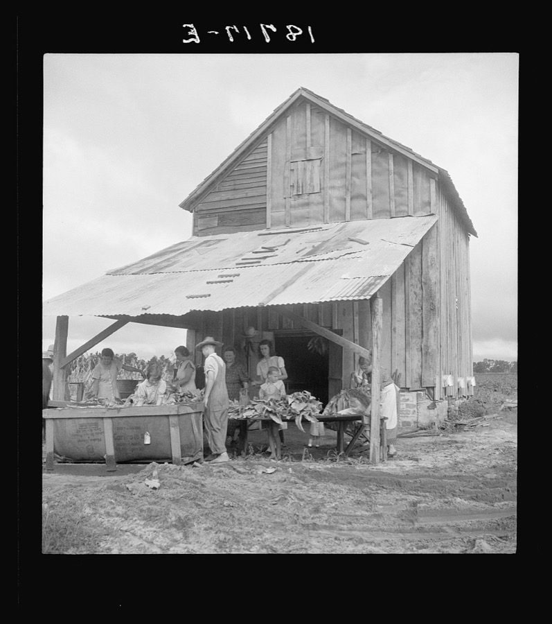
Taken for the Office of War Information and the Farm Security Administration, who photographed the country between 1935 and 1944. Works of United States government photographers, with no known restriction on use. Each opens its catalogue record.


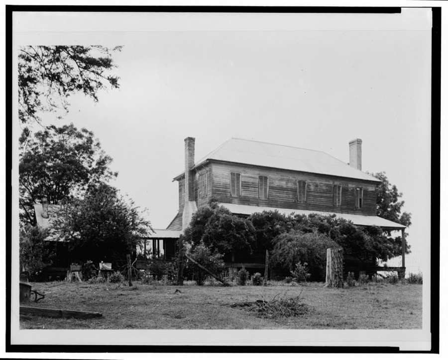
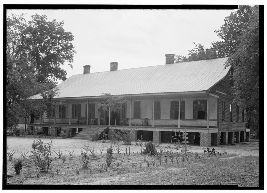
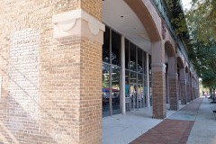
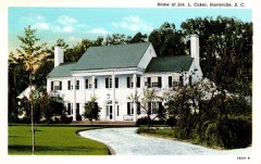
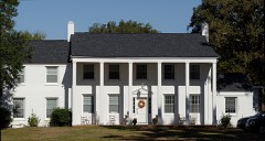
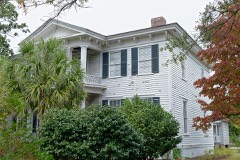
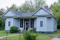
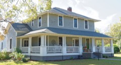
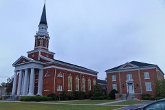
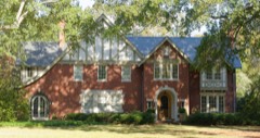
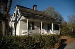
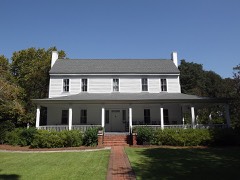
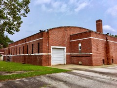
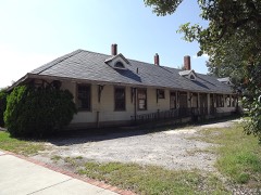
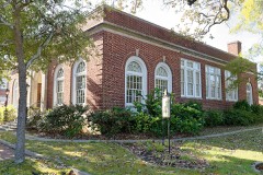
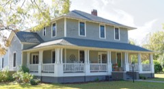
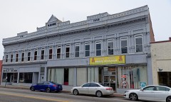
Every property in this county listed on the National Register of Historic Places, with the year it was listed and the federal nomination document.
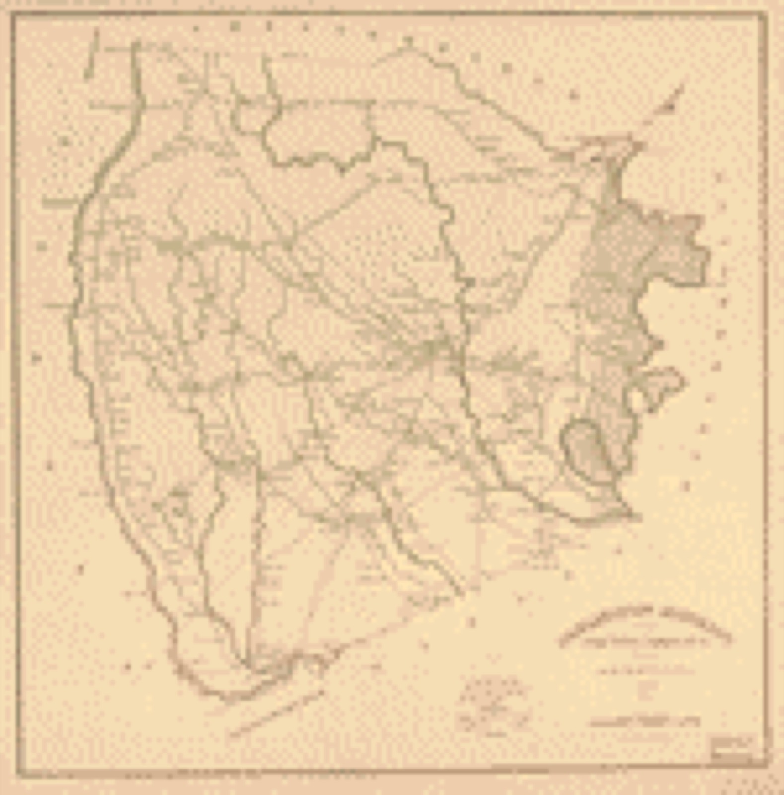
Drawn when these were printed as single large sheets: the town seen from the air, and the county divided into its farms with every owner named. Each opens the original at the Library of Congress.
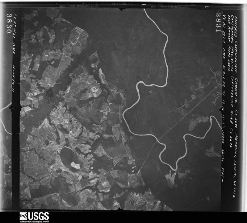
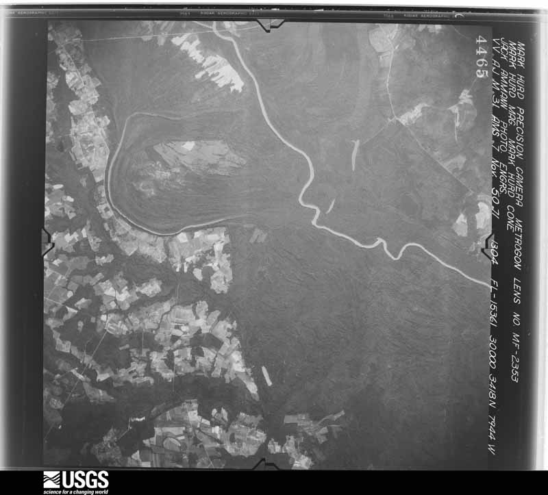
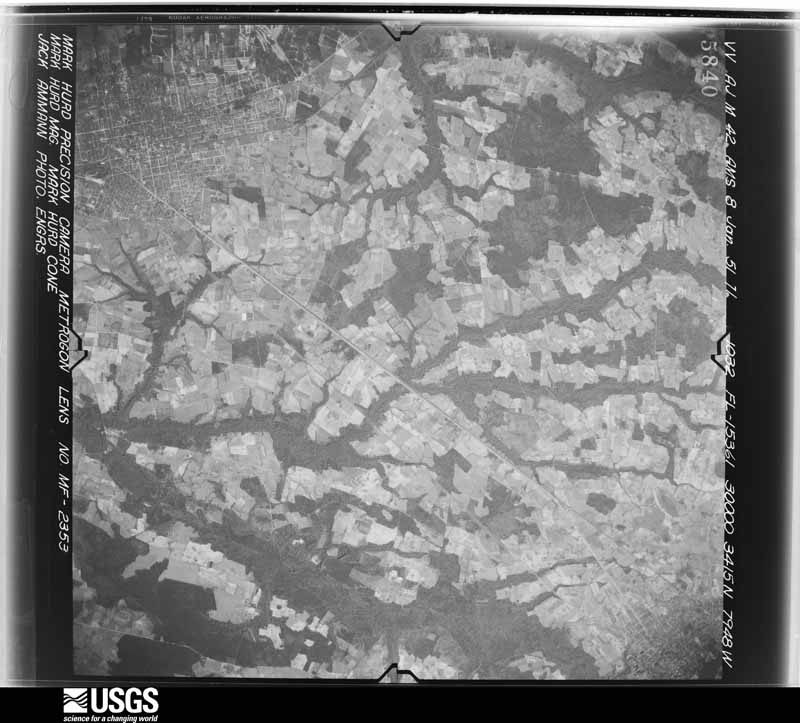
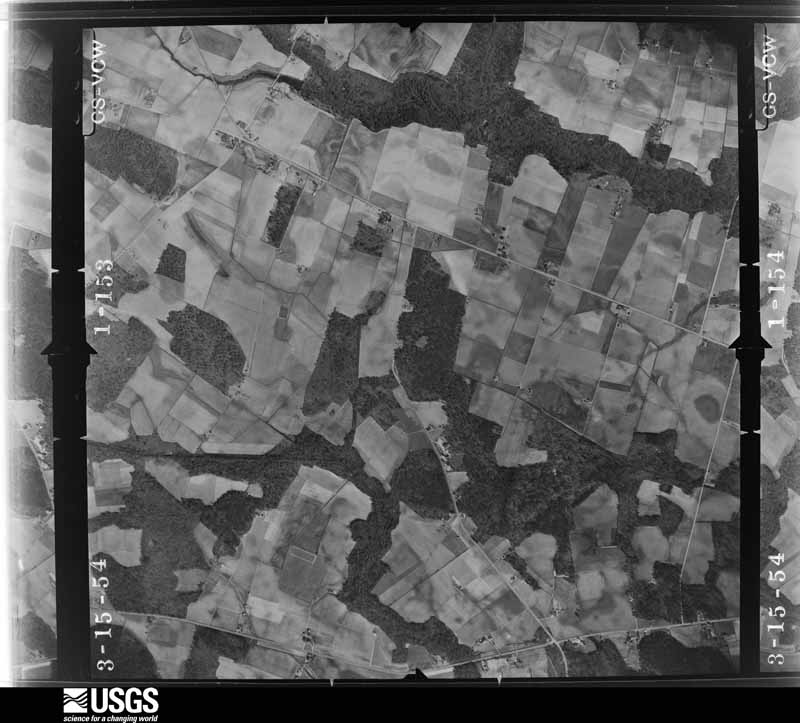
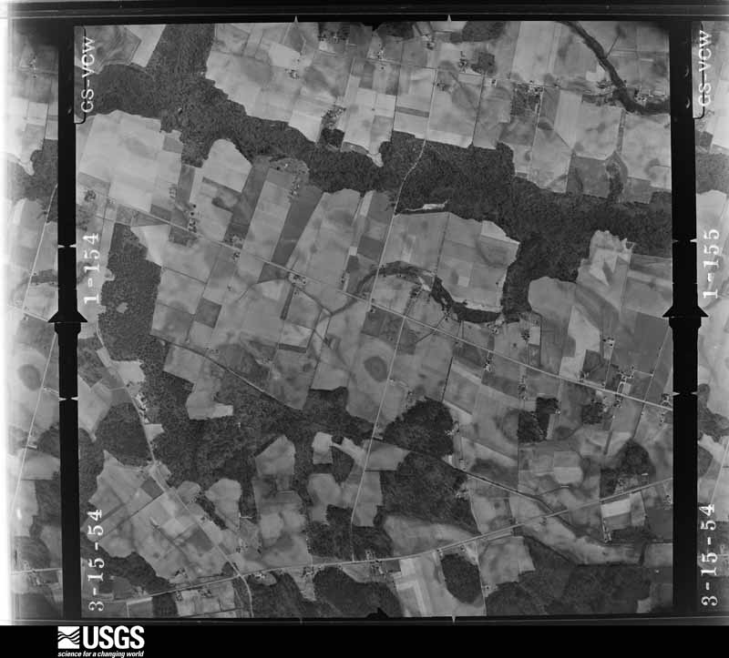
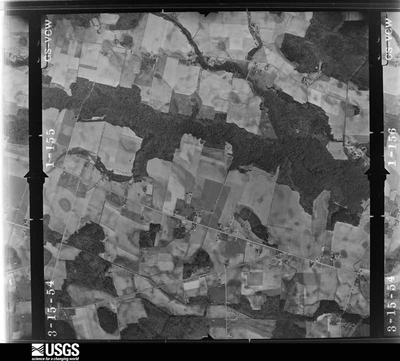
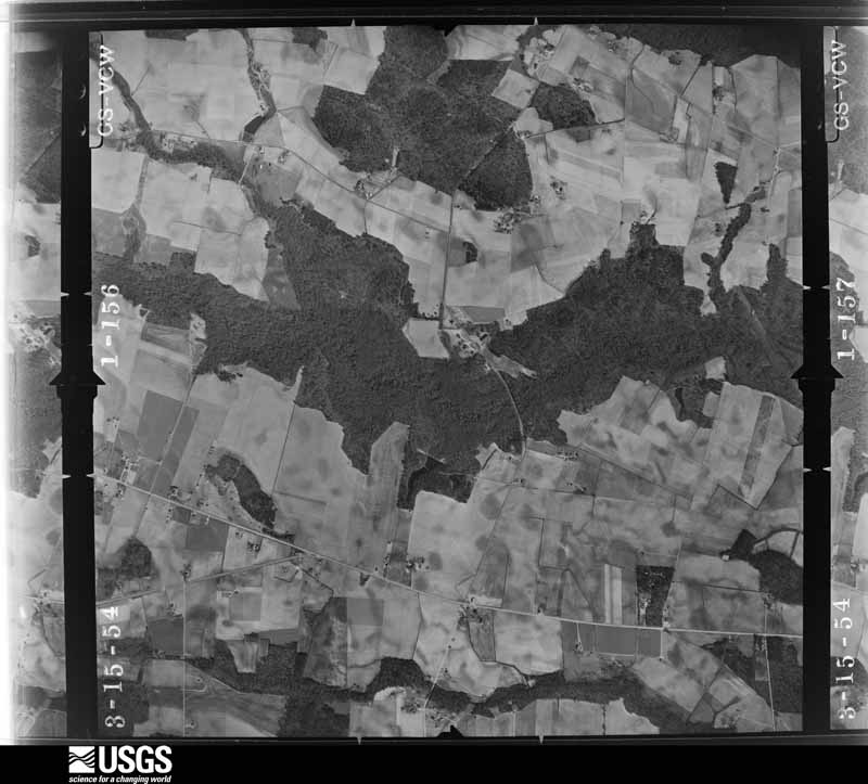
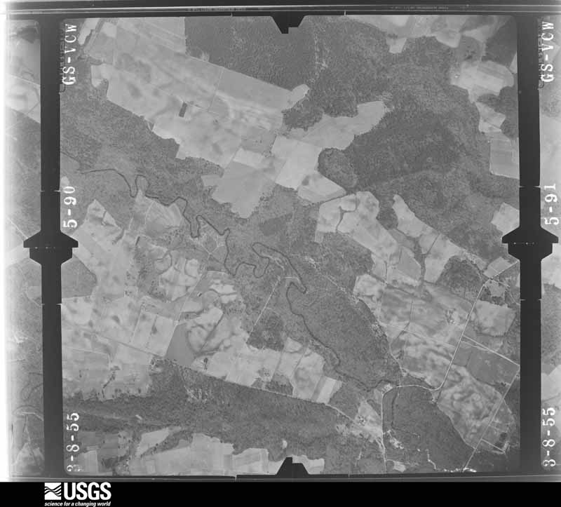
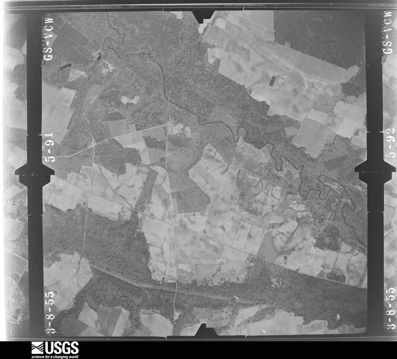
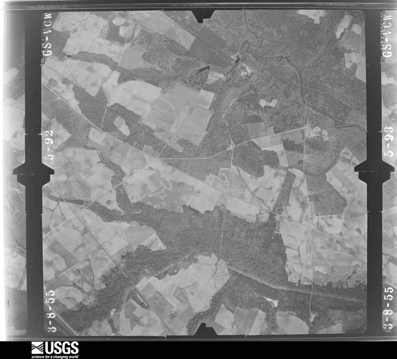
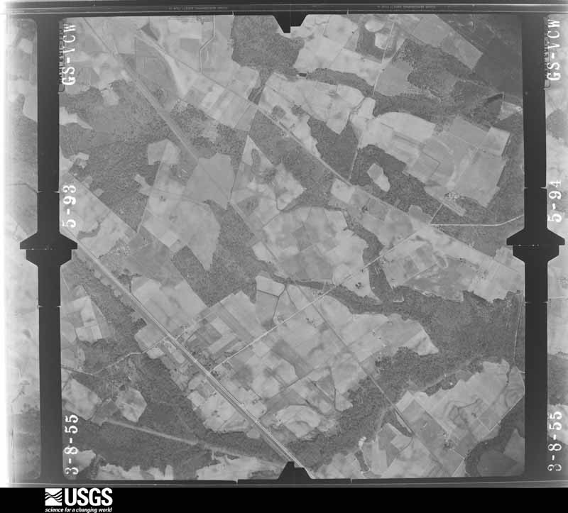
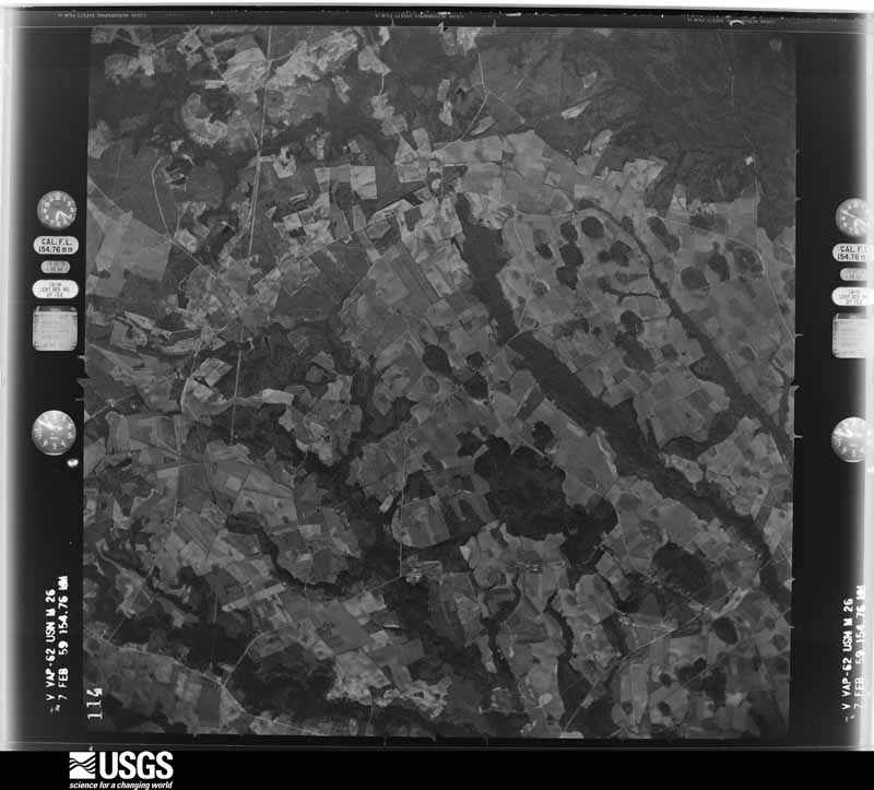
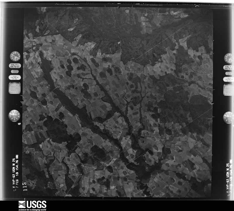
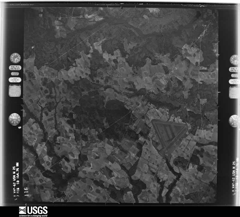
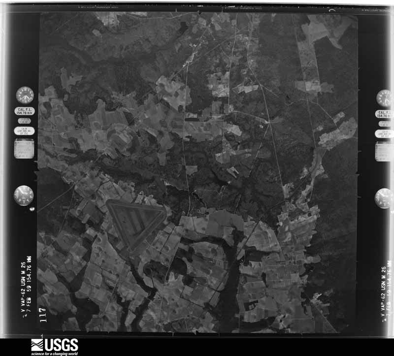
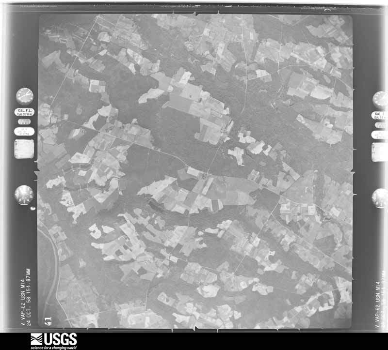
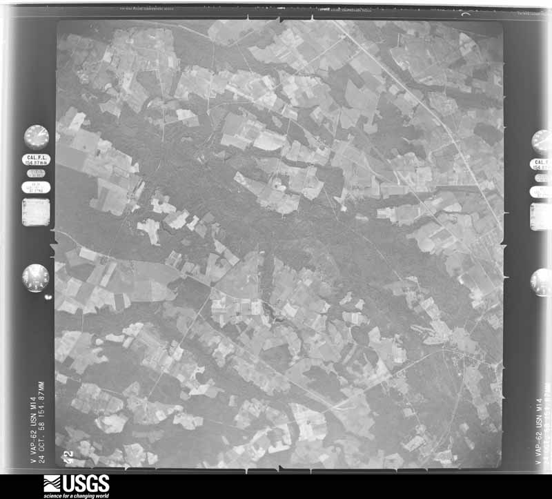
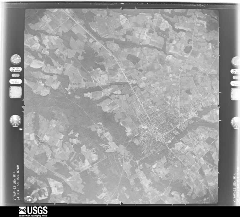
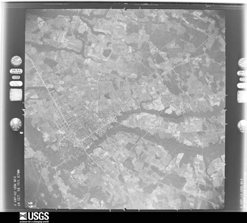
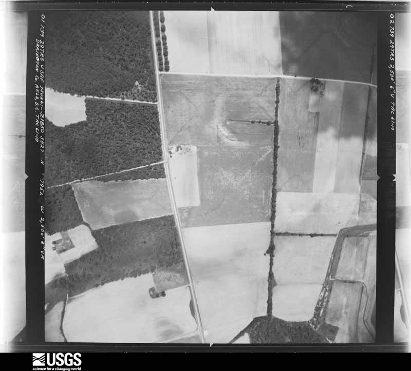
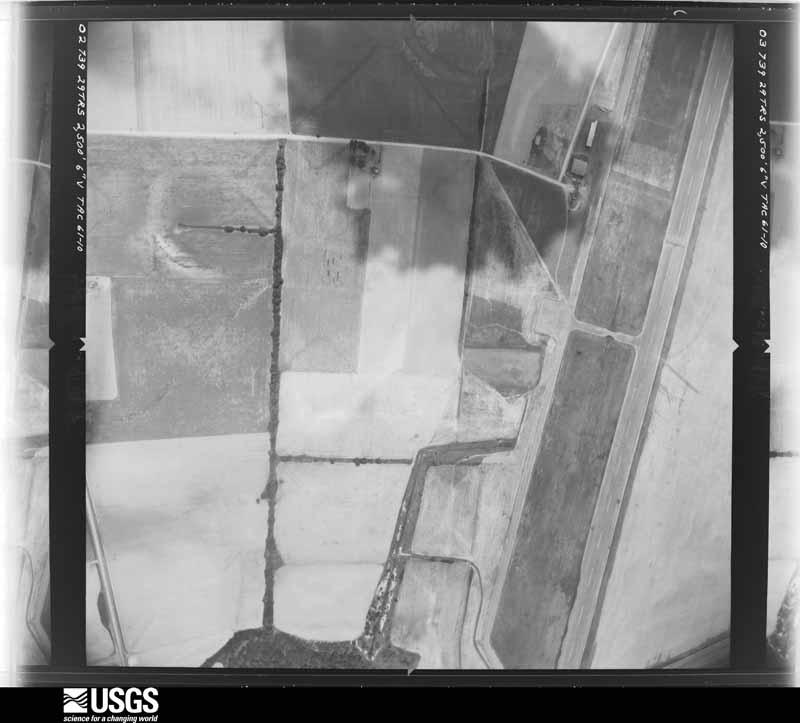
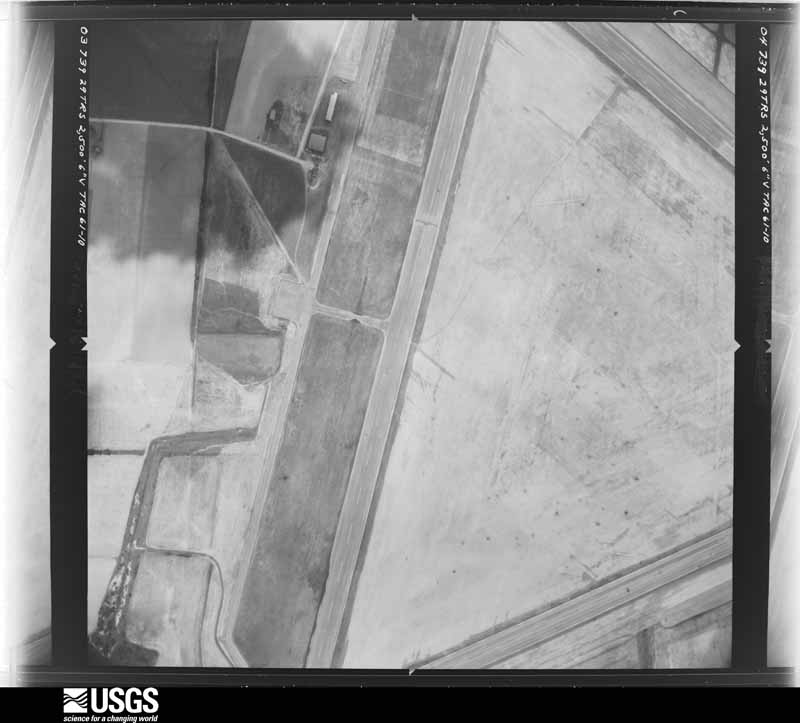
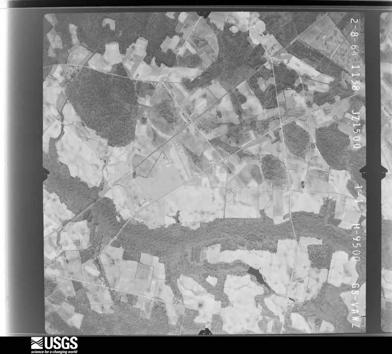
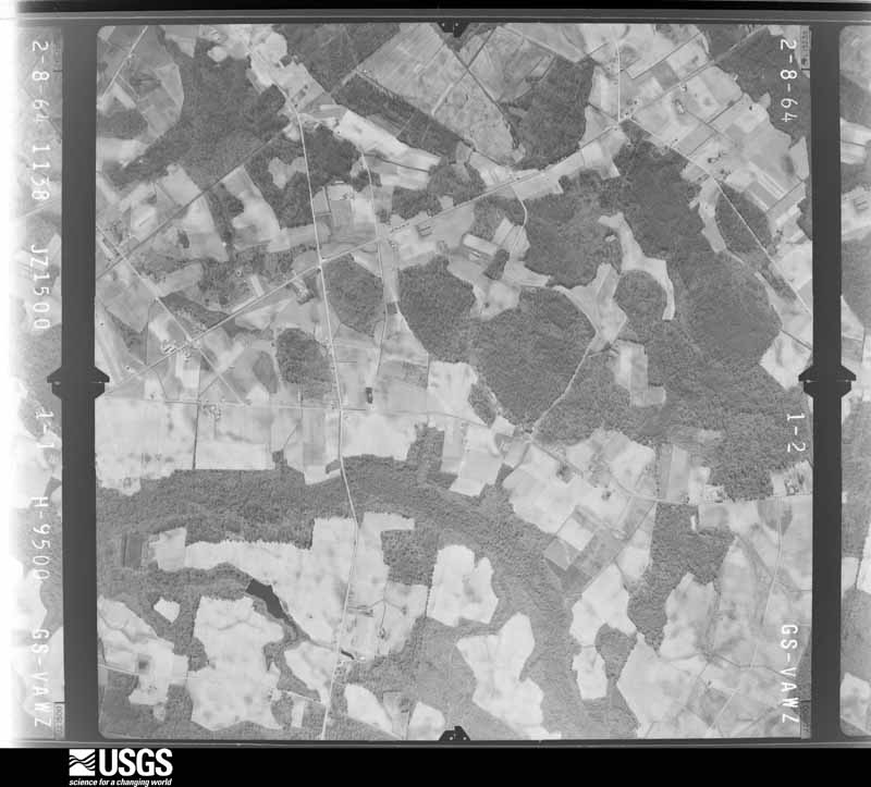
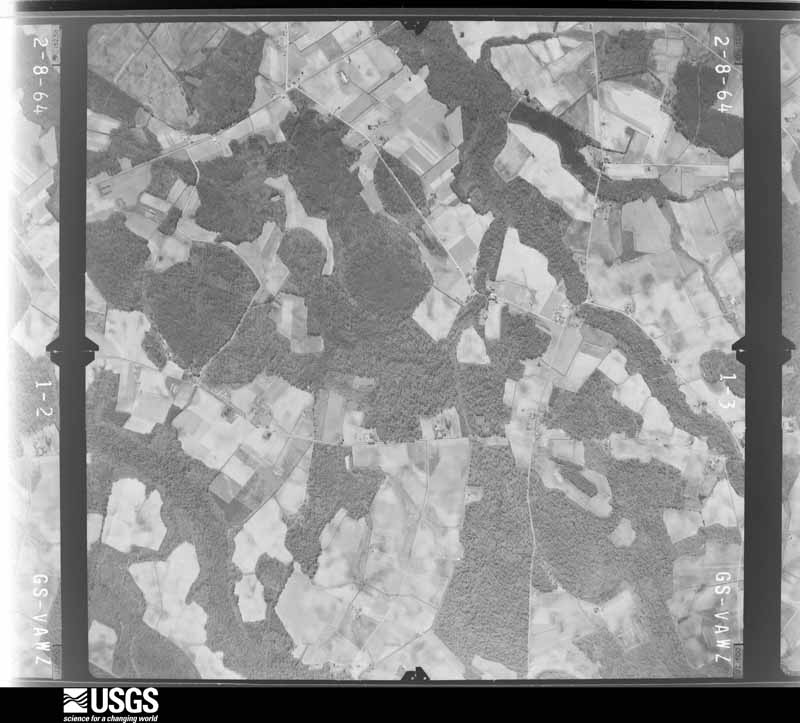
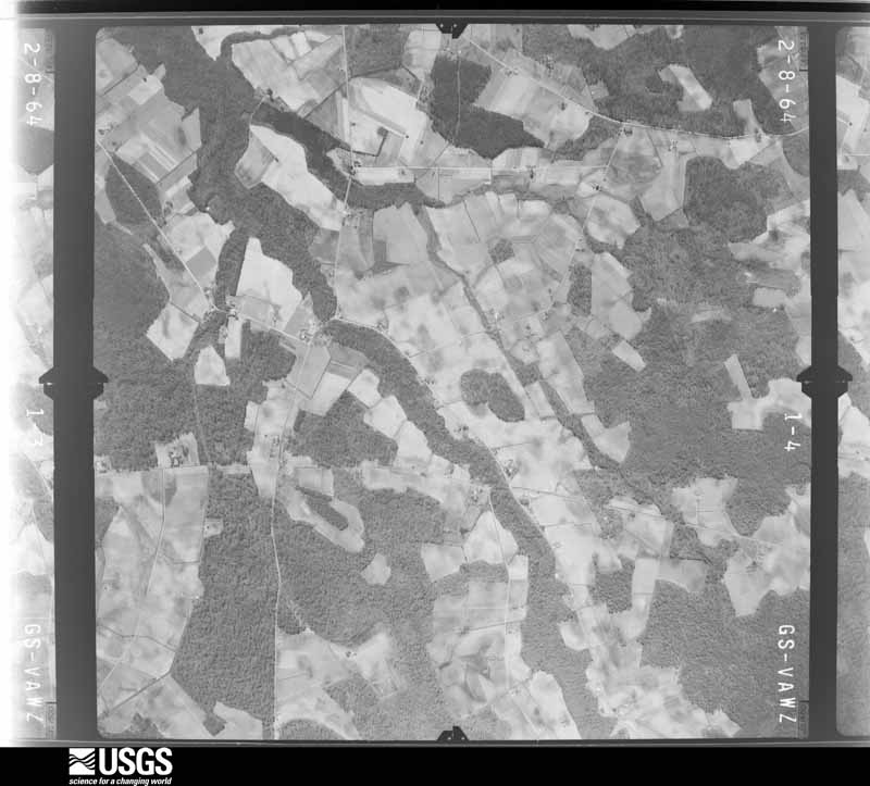
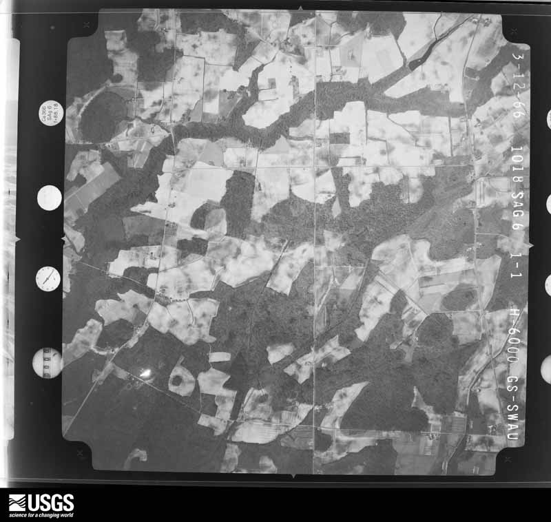
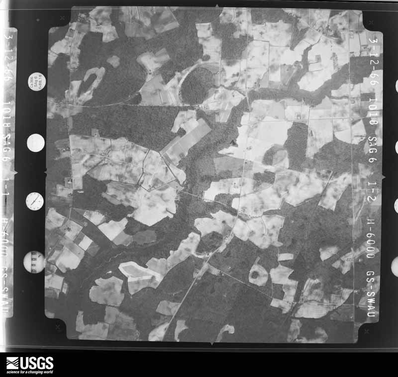
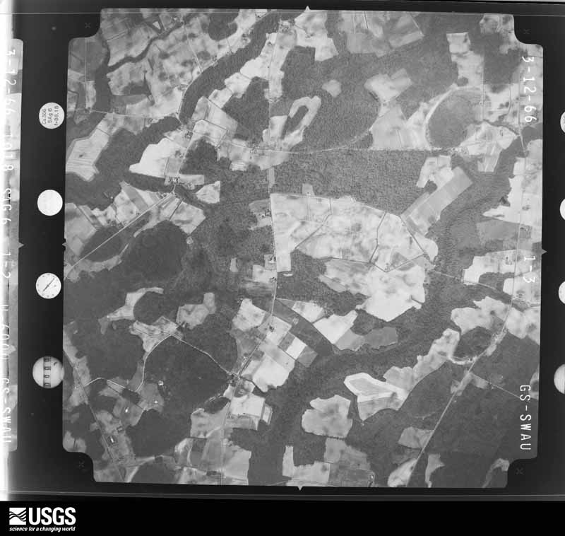
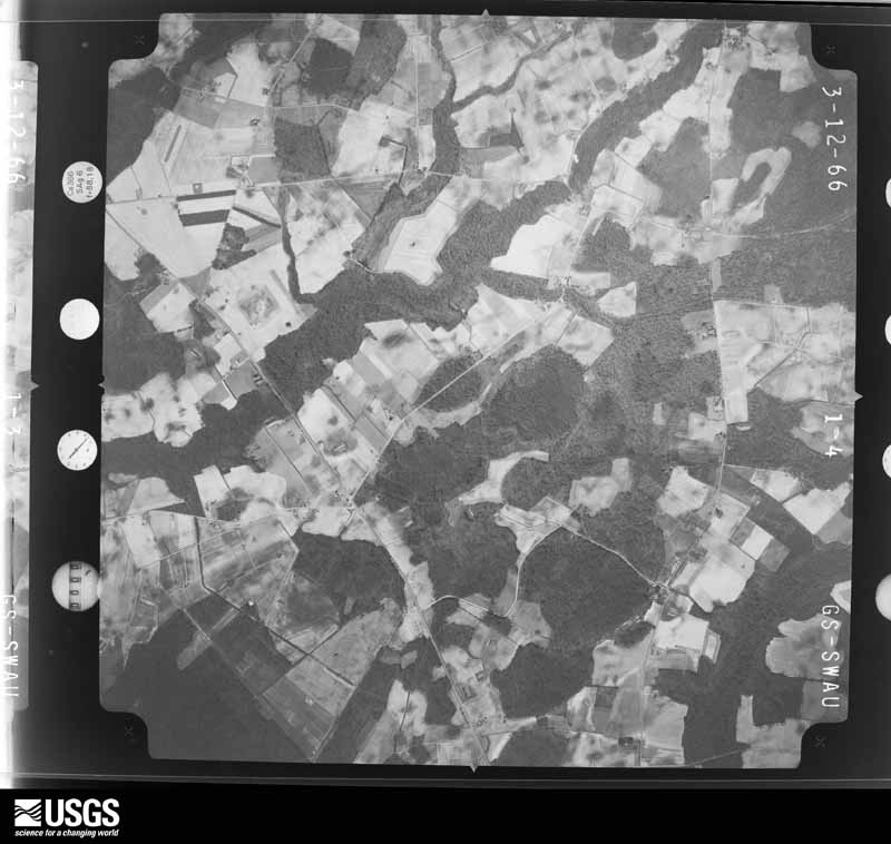
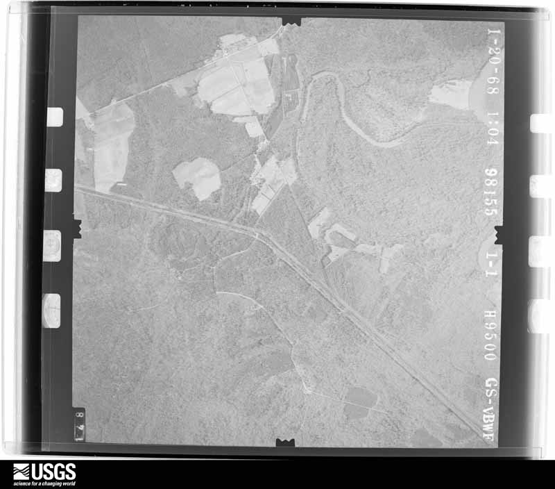
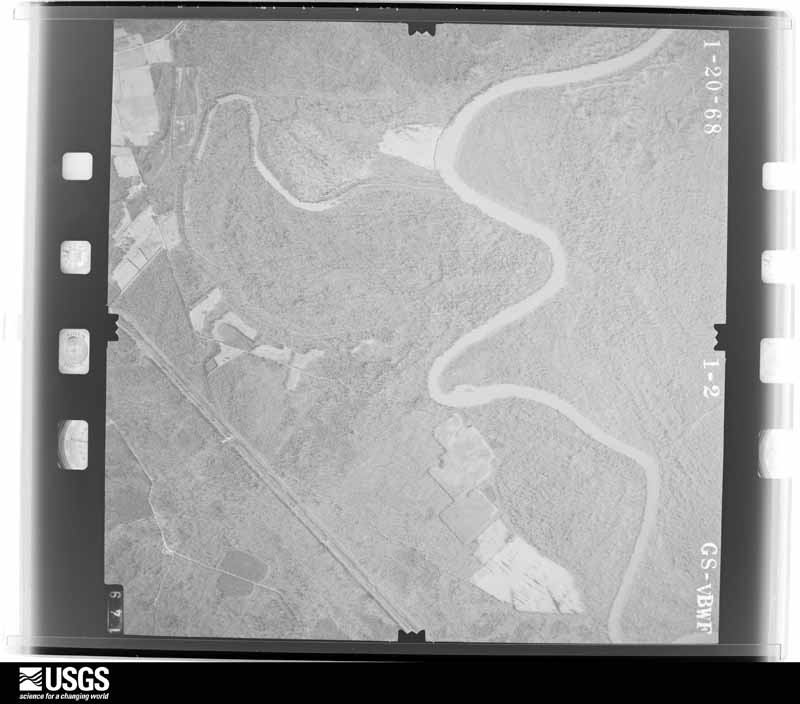
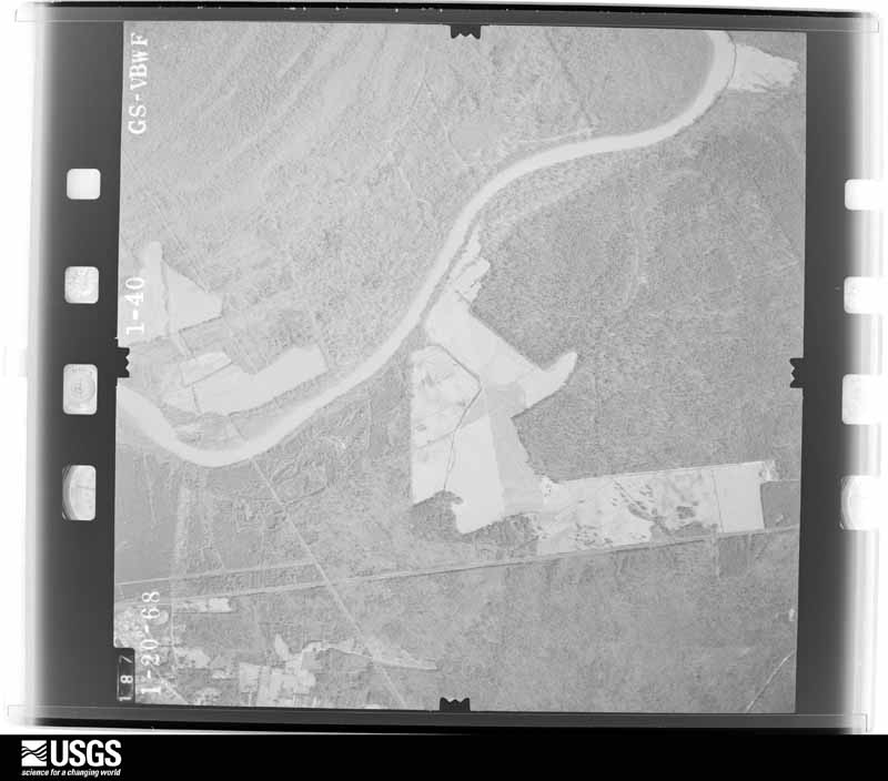
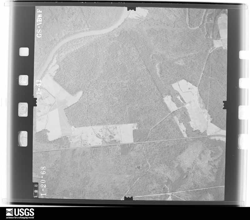
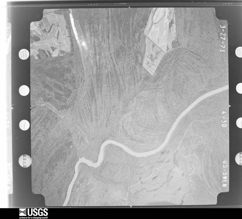
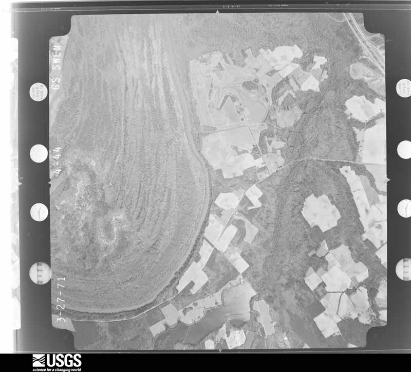
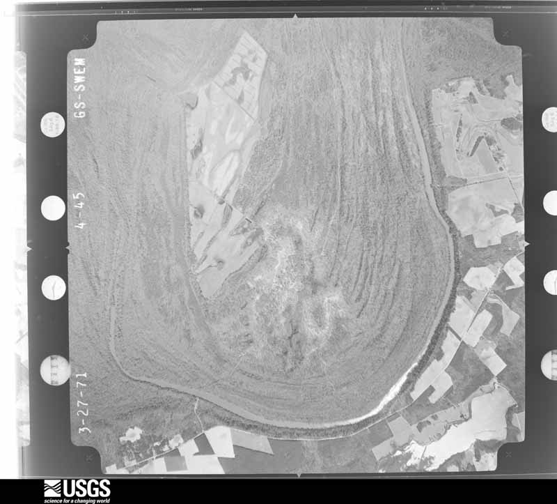
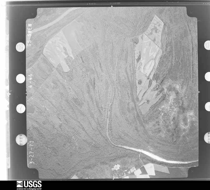
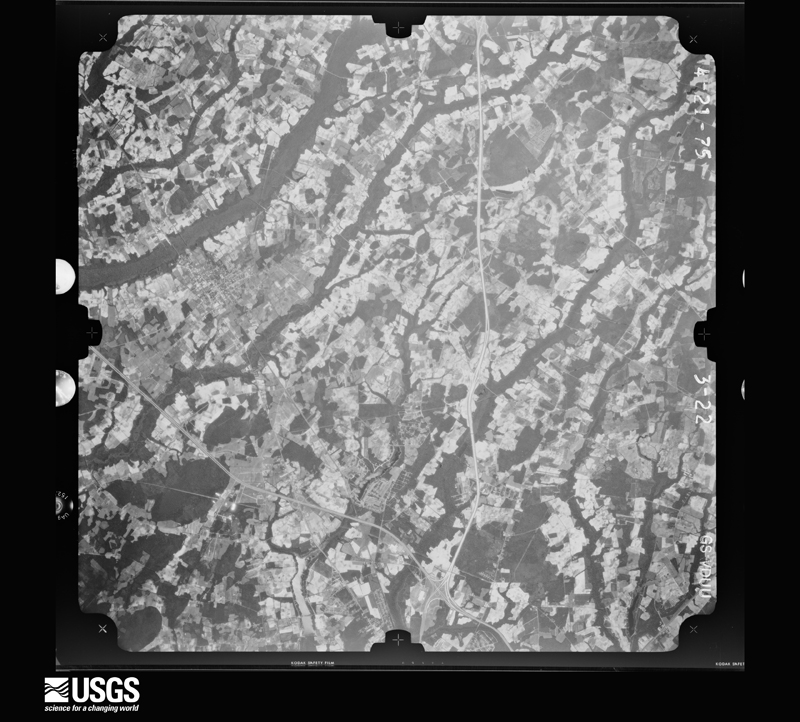
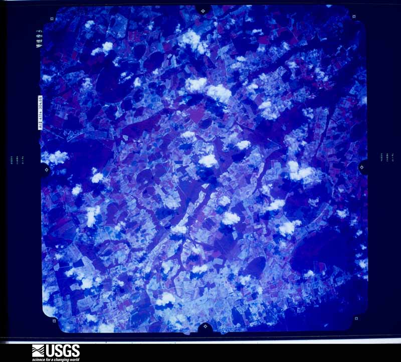
Flown by the U.S. Geological Survey between 1937 and 1989, the Aerial Photo Single Frames collection is the definitive mid-century view of the land: fields, roads and rivers as the camera saw them. The Survey holds 1,942 frames inside the rectangle that bounds this county; the 48 frames below were taken over the county itself, chosen across the decades of flights (at most four a year from that rectangle), so one flight cannot crowd out the rest. The full set is free to browse and download at EarthExplorer under the dataset Aerial Photo Single Frames.








The thermometers that kept this county's weather, and the gages that measured the flow of its streams, as the federal records hold them. The extremes below are measured values from those records, not estimates.
Who lived here in 1950, one enumeration district at a time, as the Census Bureau described each district. Each row opens its official National Archives result, with Population Schedules and ED Maps available there.
Every wildfire the federal occurrence database records inside this county: 2,447 of them, burning about 12,224 acres. 42 started naturally and 353 were recorded as arson. Each settlement page carries the fires within five miles of it.
| Reported cause | Fires |
|---|---|
| Debris and open burning | 1017 |
| Missing data/not specified/undetermined | 750 |
| Arson/incendiarism | 353 |
| Equipment and vehicle use | 126 |
| Misuse of fire by a minor | 78 |
| Natural | 42 |
| Smoking | 35 |
| Other causes | 13 |
| Railroad operations and maintenance | 12 |
| Recreation and ceremony | 10 |
| Power generation/transmission/distribution | 8 |
| Fireworks | 3 |
The five largest, by the area the report gives. Two of them were set deliberately.
| Date | Cause | Size | Reported by | Name on the report |
|---|---|---|---|---|
| 10 March 1993 | Missing data/not specified/undetermined | 730 acres | South Carolina Forestry Commission | not named |
| 15 June 1993 | Missing data/not specified/undetermined | 206 acres | South Carolina Forestry Commission | not named |
| 8 September 2018 | Debris and open burning | 150 acres | South Carolina Forestry Commission | not named |
| 6 April 2002 | Arson/incendiarism | 130 acres | South Carolina Forestry Commission | not named |
| 10 March 1993 | Missing data/not specified/undetermined | 125 acres | South Carolina Forestry Commission | not named |
| 14 March 1998 | Equipment and vehicle use | 120 acres | South Carolina Forestry Commission | not named |
| 29 March 2002 | Missing data/not specified/undetermined | 110 acres | South Carolina Forestry Commission | not named |
| 3 February 2001 | Arson/incendiarism | 100 acres | South Carolina Forestry Commission | not named |
Every settlement page carries the fires within five miles of it - see the settlement index below.
The NOAA Storm Events Database holds 536 reports for this county, causing 1 death, 36 injuries and about $15,518,000 in recorded property damage. Each settlement page carries the reports that name it.
| Kind of event | Reports |
|---|---|
| Thunderstorm Wind | 348 |
| Hail | 116 |
| Tornado | 28 |
| Flood | 18 |
| Flash Flood | 11 |
| Heavy Rain | 10 |
| Lightning | 3 |
| Funnel Cloud | 2 |
The most serious of them, by death, then injury, then recorded damage. The accounts are quoted exactly as the forecast office filed them.
| When | Event | Place named | Harm | What the report says |
|---|---|---|---|---|
| April 1961 | Tornado (F1) | not stated | 1 killed, $25,000 | no account filed |
| May 1980 | Tornado (F2) | not stated | 6 hurt, $2,500,000 | no account filed |
| September 1999 | Tornado (F1) | Clyde | 6 hurt, $240,000 | A tornado touched down at Clyde, just west of the HB Robinson nuclear power plant, and tracked across the Pine Ridge area. The storm continued east-northeast, north of Hartsville across mostly rural areas, to near the Darlington County Jetport. There was spotty damage along a 15 mile path - 11 mobile homes were destroyed and 15 more were damaged. One house had major damage. Six businesses were listed as destroyed. Six injured people were treated and released. |
| April 2010 | Tornado (EF2) | Oats | 3 hurt, $750,000 | A National Weather Service Storm Survey Team confirmed an EF2 tornado with winds estimated to 130 mph. The tornado first touched down in a stand of pine trees, snapping approximately 30 of them several feet off the ground. The largest of the snapped trees was 12 inches in diameter. The tornado then moved east into a cluster of homes and mobile homes along East 7 Pines Street. One mobile home was blown 20 yards off its frame and was completely destroyed. The debris was blown into another single wide mobile home which was subsequently destroyed. A large pecan tree was uprooted before the tornado lifted off the ground. The damage was rated EF1 with winds to 100 mph. The second touchdown occurred a few hundred yards to the east. The tornado moved over a stand of trees and descended practically on top of a two story single family residence located on East 7 Pines Street. This dwelling was blown off its foundation and flipped over onto two automobiles and in the process was completely destroyed. Three people were in the home at the time. They took shelter in an interior hallway moments before the tornado struck. They were transported to the hospital, treated for minor injuries and released. A Ford Ranger Pickup was lifted and dropped approximately 50 yards away. A horse trailer was lifted and dropped 100 yards away. A large wood framed workshop and horse barn were also destroyed. The tornado moved east approximately two tenths of a mile and damaged or uprooted several trees as it lifted. The damage was rated EF2 with winds to 130 mph. |
| April 1969 | Tornado (F3) | not stated | 3 hurt, $250,000 | no account filed |
| July 2016 | Thunderstorm Wind | Darlington | 3 hurt, $5,000 | Flying debris reportedly caused damage to some windows at the Huddle House. Three people were transported to the hospital with undetermined injuries, most likely attributable to flying glass. The time was estimated based on radar data. |
| March 1991 | Tornado (F0) | not stated | 2 hurt, $250,000 | no account filed |
| August 2017 | Thunderstorm Wind | North Lees Xrds | 2 hurt, $35,000 | An anchored mobile home was flipped over near the corner of Feast Rd. and Foremost Rd. The mobile home ended up atop a pickup truck parked nearby. Two people inside the home at the time were reported injured. |
| April 2011 | Thunderstorm Wind | Clyde | 2 hurt, $10,000 | A large tree fell onto a car near Lake Robinson and injured the two occupants. |
| July 1988 | Thunderstorm Wind | not stated | 2 hurt | no account filed |
| May 2006 | Tornado (F1) | Darlington | 1 hurt, $400,000 | A National Weather Service Storm Survey concluded an F1 tornado with winds estimated to 100 mph tracked along a path 1000 yards long and 15 yards wide causing spotty damage along South Center Rd near the intersection with Lake Swamp Rd. Four homes were damaged and a mobile home and one old house were destroyed. One person suffered minor injuries. There was also a report of golfball size hail with trees down on houses and barns along South Center Rd. |
| May 2017 | Tornado (EF1) | Hartsville | 1 hurt, $60,000 | A survey conducted by the National Weather Service concluded an EF1 tornado with winds to 100 mph first touched down south of Swift Creek Rd. and damaged a few trees before overturning a RV trailer where one occupant was injured. A mobile home was destroyed in this area and a utility trailer was flipped. Numerous trees were snapped or uprooted as the tornado continued north across Swift Creek Rd. It was in this area where several homes sustained damage to siding and awnings and one business was also damaged. The tornado continued across Hartland Dr. and lifted in a stand of trees after crossing S Marquis Highway. |
| May 2021 | Thunderstorm Wind | Clyde | 1 hurt, $10,000 | A tree was blown down on a camper. There was one injury. |
| May 1968 | Tornado (F2) | not stated | 1 hurt, $2,500 | no account filed |
| August 1964 | Tornado (F2) | not stated | 1 hurt, $2,500 | no account filed |
| March 1991 | Thunderstorm Wind | not stated | 1 hurt | no account filed |
| June 1989 | Thunderstorm Wind | not stated | 1 hurt | no account filed |
| April 2010 | Tornado (EF2) | Darlington Moores Ar | $6,250,000 | A National Weather Service Storm Survey Team confirmed an EF2 tornado with winds estimated to 115 mph. The tornado first touched down near Syracuse Street and Rogers Road. An unanchored double-wide mobile home was rolled off its foundation and onto its side. Several trees along Syracuse Street were uprooted or snapped or had large branches broken off. Several homes suffered minor to moderate shingle damage, largely as a result of fallen trees or branches. The damage was rated EF1 with winds to 90 mph. After briefly lifting, the tornado touched down as it approached Highway 401 and caused major damage to a large steel building. Two bay doors were blown in and a large portion of the roof was lifted and blown off. Sheet metal from the roof was strewn for about 200 yards. A small wooden garage and building were destroyed before the tornado lifted near Highway 401. The damage was rated EF1 with winds to 100 mph. The tornado touched down one last time between Lightly Street and Southern Pine Street. Numerous hardwood trees were uprooted or snapped. A few of these trees, with diameters up to 24 inches, were snapped a few feet from the ground. There was significant damage to some residential homes, primarily the result of falling trees or branches. The tornado continued across Highway 52 business where several businesses and structures sustained minor to moderate damage. A set of car wash bays were blown over and a church lost many shingles and a small portion of its roof. The tornado then continued east of Highway 52 business through a residential neighborhood. Several large trees up to 20 inches in diameter were uprooted. A large section of roof was blown off a home. Cain Elementary School suffered significant damage. Many awnings at the school were damaged or destroyed and one building lost half its roof. Shortly after causing the roof damage to Cain Elementary, the tornado caused more tree damage as it lifted through the treetops. As these trees or their branches fell, several residences sustained minor to moderate damage to include some roof shingle damage. The damage was rated EF2 with winds to 115 mph. |
| October 2016 | Flash Flood | Palmetto | $800,000 | Excessive rainfall resulted in the failure of an earthen dam which then washed out Bethea Road between Home Avenue and U.S. 52. Nearby structures were impacted by the flood waters. The time was estimated. |
| August 2008 | Thunderstorm Wind | Doneraile | $510,000 | The roof of a 7000 square foot Sunbeam Bread warehouse was torn off. Trees were uprooted. A National Weather Service Storm Survey concluded that the damage was the result of a microburst. Winds were estimated at up to 80 mph. Darlington County Emergency Services estimated $510,000 in damage. |
| August 1993 | Thunderstorm Wind | Lamar | $500,000 | A severe thunderstorm moved across uptown Lamar. Winds blew roof off a building, knocked down several light poles, and knocked out glass in several cars. |
| October 2016 | Flash Flood | Vaughans Xrds | $300,000 | An earthen dam on Andrews Millpond was topped and washed out a portion of Andrews Mill Road. The dam had to be reinforced. The time was estimated. |
| May 1976 | Tornado (F1) | not stated | $250,000 | no account filed |
| August 1999 | Thunderstorm Wind | Darlington | $200,000 | Downburst wind from a thunderstorm hit the Plantation Parks Mobile Home Park and knocked 19 manufactured homes off their blocks. One home flipped upside down. No injuries. |
| November 1995 | Tornado (F1) | Byrdtown | $200,000 | Estimated path due to spotty touchdowns. Dozen of trees down, 16 structures were damaged, three houses suffered major wall and roof damage, a mobile home was destroyed, a garage was badly damaged, and a large shed collapsed on trucks and farm machinery. |
| October 2016 | Flash Flood | North Hartsville | $150,000 | A sinkhole developed on Ruby Road which closed a portion of the roadway. The time was estimated. |
| May 2000 | Hail | Darlington | $150,000 | A severe thunderstorm caused dime size hail in the city of Darlington, and 2 inch hail just to the south. Strong gusty wind caused tree and roof damage to the Landmark Motor Inn, 2 miles south of the city, and overturned a mobile home in Oats, 8 miles south of Darlington. The County Agricultural Service reported several areas of crop damage near highway 401. |
| August 2004 | Flash Flood | Darlington | $100,000 | no account filed |
| July 1996 | Thunderstorm Wind | Darlington | $100,000 | no account filed |
| May 2017 | Tornado (EF1) | Oats | $80,000 | A survey conducted by the National Weather Service concluded an EF1 tornado with winds to 95 mph first touched down along Fisherman Road, north of Andrews Mill Road where winds estimated up to 80 mph uprooted a few large trees which fell onto a garage. The tornado lifted and then touched down again near Mineral Springs St. where it damaged several trees as it moved north across Oates Highway. After crossing Oates Highway, the tornado caused significant roof and awning damage to a home on Dudley Drive. A tin carport at this location was blown a few hundred yards. As the tornado continued north, the most significant damage occurred to two mobile homes on Philadelphia St. One home was destroyed while the other sustained heavy damage. Although four occupants were inside the destroyed home at the time, none were injured. The tornado crossed E 7 Pines St. and into a wooded area before dissipating. |
| May 1999 | Tornado (F1) | Darlington Co Arpt | $80,000 | no account filed |
| September 2004 | Tornado (F0) | Darlington | $75,000 | A tornado snapped trees, some of which fell onto several homes and damaged roofs. |
| October 2015 | Flash Flood | Darlington Brnhms Ar | $65,000 | Flooding was reported along portions of Rogers Road and Sunset Drive. |
| August 1994 | Thunderstorm Wind | Darlington | $50,000 | Highway Patrol reported power lines down in Darlington. |
| May 2012 | Thunderstorm Wind | Lamar | $40,000 | The Darlington County Emergency Manager conducted a storm survey. A downburst with winds to 85 mph lifted and destroyed the roof of a detached two car garage. The side wall and part of the front wall of this structure collapsed. The debris was blown onto adjacent property to include three 2x4s which pierced the outer wall of a mobile home. Three large cedar trees were blown down. A pecan orchard sustained considerable tree damage. The damage occurred along 0.2 miles of Christmas Tree Road. The monetary damage was approximately $40,000 dollars. |
| July 2002 | Thunderstorm Wind | Hartsville | $35,000 | A National Weather Service storm survey determined that a microburst destroyed a house barn, tore a porch off a barn, and tore shingles from a roof. Numerous trees were also uprooted. The NWS employee estimated winds in excess of 80 mph. |
| April 2015 | Tornado (EF0) | Enoch Xrds | $32,000 | A National Weather Service Storm Survey team found evidence of an EF-0 tornado with winds to 75 mph. Two chicken houses were damaged and one other was partially destroyed off of U.S. Highway 401 near the intersection of Lynches River Road. A trailer near U.S. Highway 401 and West Lynches River Road sustained damage to its underpinning. Two disease ridden trees alongside the trailer were snapped. The tornado crossed U.S. Highway 401 knocking down numerous trees. The tornado knocked down more trees which in turn toppled a nearby power pole and power line as it crossed West Lynches Road and lifted. A piece of sheet metal from a chicken house was found 1.75 miles away, in a field off of Hudson Street. |
| May 2012 | Thunderstorm Wind | Darlington | $30,000 | A large tree around 3 feet in diameter fell onto a trailer and severed it. A storm chaser observed the tree and reported it rotted. A male sleeping inside at the time was unharmed. The trailer was located on Wire Road. There were no other trees or limbs down in the area. |
| July 2011 | Thunderstorm Wind | Birdstown Xrds | $30,000 | A large tree fell onto a mobile home and destroyed it. The home was located on East Old Camden Road. There were no injuries. The Red Cross sheltered the occupants of the home. |
| May 2003 | Thunderstorm Wind | Darlington | $30,000 | The 911 center reported numerous trees and power lines down. Newspaper articles said that the roofs of an Asian market and a discount tobacco store were blown off. |
| June 1998 | Lightning | Darlington | $30,000 | no account filed |
| May 2017 | Thunderstorm Wind | Lees Xrds | $25,000 | A survey conducted by the National Weather Service noted straight line wind damage near the intersection of East Bobo Newsom Highway and S 4th St. A metal building sustained moderate damage. A billboard and a few trees were also damaged. An empty tractor trailer was blown over while traveling on East Bobo Newsom Highway. This occurred just before and to the south of a tornado touchdown. |
| February 2011 | Thunderstorm Wind | North Hartsville | $25,000 | A National Weather Service Storm Survey Team confirmed a microburst with winds up to 70 mph near Hartsville, South Carolina. The path length was about 0.3 miles and the average path width was 0.1 miles. The microburst downed or snapped a dozen trees along Sun Valley Drive. One of these trees did fall onto a house causing some damage to the roof. The metal roof and siding of a large storage shed were stripped and then blown onto a house causing damage to the roof of a house on Ousleydale Road. Six trees were also down in this area and blocking the road. A car accident reportedly resulted when a vehicle encountered a large pine tree across Ousleydale Road. |
| April 2011 | Thunderstorm Wind | Lees Xrds | $25,000 | Nine power poles were reported down near Highway 15 and Snow Hill Road. Several pine trees were also snapped near their tops. |
| April 2010 | Tornado (EF1) | Mechanicsville | $25,000 | A National Weather Service Storm Survey Team confirmed an EF1 tornado with winds up to 100 mph. A tornado briefly touched down along South Charleston Road. The tornado uprooted or snapped about a dozen hardwood trees, some as large as 18 inches in diameter. |
| April 1969 | Tornado (F1) | not stated | $25,000 | no account filed |
| May 2021 | Thunderstorm Wind | Clyde | $20,000 | A trailer was blown over on Easterling Landing Rd. |
| April 2020 | Thunderstorm Wind | Mont Clare | $20,000 | Minor damage to several mobile homes at the Marlowe mobile home park. |
| April 2019 | Thunderstorm Wind | Palmetto | $20,000 | Large trees and power lines were blown down. |
| July 2016 | Thunderstorm Wind | Una | $20,000 | Numerous trees were reportedly damaged along a six mile long by half mile wide swath. The majority of the trees were snapped 15 to 30 feet above ground level. The Emergency Manager from Darlington County accessed the damage and determined it was the result of straight line winds. |
| July 2012 | Thunderstorm Wind | Hartsville | $20,000 | A dozen trees were reportedly uprooted and two other trees were snapped near the intersection of U.S. 15 and Carolina Avenue. Several trees were also reported down near the Governor's School including one tree which fell onto a house at the corner of Evans Street and Millikin Avenue. No structural damage was reported. The damage was likely the result of a microburst. A storm spotter estimated a wind gust to 70 mph. |
| July 2011 | Thunderstorm Wind | North Hartsville | $20,000 | Trees were reported down at the intersection of North Center Road and Patrick Highway. Two mobile homes sustained damage from the fallen trees. |
| August 2000 | Thunderstorm Wind | Darlington | $20,000 | EMC reported trees down...road signs damaged...and minor structural damage to several homes. |
| April 2013 | Thunderstorm Wind | Lamar | $15,000 | A brick building was damaged near the intersection of Highway 401 and Main Street. |
| July 2009 | Thunderstorm Wind | Lamar | $15,000 | Several large trees were blown down. Some of the trees were snapped halfway up. A few structures lost some of their roofing shingles. The damage path was 150 yards long and up to 50 yards wide. The Darlington County Emergency Manager surveyed the damage and attributed it to straight-line winds. |
| July 2004 | Thunderstorm Wind | Hartsville | $15,000 | Strong winds damaged the roofs of several businesses downtown. Several trees were blown down. |
| April 2001 | Thunderstorm Wind | Society Hill | $15,000 | General public reported power lines down and part of a mobile home roof blown off, damaging a car. |
| July 2000 | Thunderstorm Wind | Darlington | $15,000 | Spotter reported a tree fell on a house and car. Power lines were also reported down. |
| July 1997 | Lightning | Hartsville | $13,000 | LIGHTNING STRUCK A STORAGE BUILDING AND A RESIDENCE ON WHITE HALL LANE IN HARTSVILLE CAUSING APPROXIMATELY 13,000 DOLLARS DAMAGE. |
| May 2010 | Thunderstorm Wind | Birdstown Xrds | $12,000 | A section of roof (9 x 30 feet), was torn off a building on Bethlehem Road. The time was estimated based on radar data. |
The Survey's mineral resources record lists 6 workings inside this county. 1 still produces and 5 are closed or unrecorded. Each settlement page carries the workings within five miles of it.
| Commodity | Workings |
|---|---|
| Sand and Gravel, Construction | 4 |
| Titanium, Iron | 1 |
| Sand and Gravel, Construction, Clay | 1 |
| Clay | 1 |
The least common of them first, because a county's hundredth gravel pit says nothing its first ten did not.
| Where | Site | Commodity | Status | Recorded |
|---|---|---|---|---|
| Buckholtz Creek | Titanium, Iron | Unknown | Placer , Modern , Fluvial | |
| Darington Pit | Sand and Gravel, Construction, Clay | Unknown | Sedimentary | |
| Darington Pit | Sand and Gravel, Construction, Clay | Producer | ||
| Lamar Asphalt Plant | Sand and Gravel, Construction | Past Producer | ||
| Lamar Pit | Sand and Gravel, Construction | Unknown | Sedimentary | |
| Lamar Pit | Sand and Gravel, Construction | Past Producer |
Named settlements recorded in the Geographic Names Information System, each with the topographic sheets covering it. Villages, hamlets and abandoned places alike. Each is shown with the nearest named watercourse or landform and the survey quadrangle it falls on. The 3 places that were also surveyed for fire insurance come first, with the number of atlases and photographs held for them.
Darlington census division · 29532 · On Indian Creek · Darlington West quadrangle
7 sheets, 1953 to 1983
Fire insurance: 9 atlases
Hartsville census division · 29550 · On Snake Branch · Hartsville South quadrangle
14 sheets, 1941 to 1986
Fire insurance: 4 atlases
Lamar census division · 29069 · Lamar quadrangle
14 sheets, 1941 to 1986
Fire insurance: 2 atlases
Lake Swamp census division · 29161 · On Myrtle Branch · Timmonsville quadrangle
10 sheets, 1940 to 1986
Society Hill census division · 29540 · On Little Seed Branch · Dovesville quadrangle
6 sheets, 1953 to 1983
Darlington census division · 29540 · Near Cypress Flat · Dovesville quadrangle
6 sheets, 1953 to 1983
Hartsville census division · 29550 · On Spring Branch · Hartsville North quadrangle
14 sheets, 1941 to 1986
Darlington census division · 29532 · On Bellyache Creek · Darlington West quadrangle
7 sheets, 1953 to 1983
Society Hill census division · 29550 · Dovesville quadrangle
6 sheets, 1953 to 1983
Hartsville census division · 29550 · On Beaverdam Creek · Kellytown quadrangle
14 sheets, 1941 to 1986
Darlington census division · 29532 · On Bellyache Creek · Darlington East quadrangle
7 sheets, 1953 to 1983
Darlington census division · 29532 · On Indian Creek · Darlington West quadrangle
7 sheets, 1953 to 1983
North Hartsville census division · 29550 · On Dry Branch · Hartsville North quadrangle
14 sheets, 1941 to 1986
Hartsville census division · 29550 · On Snake Branch · Hartsville North quadrangle
14 sheets, 1941 to 1986
Darlington census division · 29532 · On Indian Creek · Darlington West quadrangle
7 sheets, 1953 to 1983
Hartsville census division · 29550 · On Cogdell Branch · Hartsville North quadrangle
14 sheets, 1941 to 1986
Hartsville census division · 29532 · Darlington West quadrangle
7 sheets, 1953 to 1983
North Hartsville census division · 29550 · On Dry Branch · Hartsville North quadrangle
14 sheets, 1941 to 1986
Darlington census division · 29540 · Darlington West quadrangle
7 sheets, 1953 to 1983
Darlington census division · 29550 · Darlington West quadrangle
7 sheets, 1953 to 1983
Hartsville census division · 29550 · Hartsville South quadrangle
14 sheets, 1941 to 1986
Darlington census division · 29540 · On Horse Creek · Darlington West quadrangle
7 sheets, 1953 to 1983
Hartsville census division · 29550 · On Segars Mill Stream · Hartsville South quadrangle
14 sheets, 1941 to 1986
Hartsville census division · 29550 · On Segars Mill Stream · Hartsville South quadrangle
14 sheets, 1941 to 1986
Hartsville census division · 29550 · On Segars Mill Stream · Kellytown quadrangle
14 sheets, 1941 to 1986
North Hartsville census division · 29550 · On Dry Branch · Hartsville North quadrangle
14 sheets, 1941 to 1986
Hartsville census division · 29550 · Hartsville South quadrangle
14 sheets, 1941 to 1986
North Hartsville census division · 29550 · On Dry Branch · Hartsville North quadrangle
14 sheets, 1941 to 1986
North Hartsville census division · 29550 · On Dry Branch · Hartsville North quadrangle
14 sheets, 1941 to 1986
North Hartsville census division · 29550 · On Pond Hollow Branch · Hartsville North quadrangle
14 sheets, 1941 to 1986
North Hartsville census division · 29550 · Hartsville North quadrangle
14 sheets, 1941 to 1986
Society Hill census division · 29550 · Dovesville quadrangle
6 sheets, 1953 to 1983
No longer a settlement
North Hartsville census division · 29550 · On Dry Branch · Hartsville North quadrangle
14 sheets, 1941 to 1986
North Hartsville census division · 29550 · On Dry Branch · Hartsville North quadrangle
14 sheets, 1941 to 1986
Darlington census division · 29532 · Darlington East quadrangle
7 sheets, 1953 to 1983
Darlington census division · 29532 · On Indian Creek · Darlington West quadrangle
7 sheets, 1953 to 1983
North Hartsville census division · 29550 · Hartsville North quadrangle
14 sheets, 1941 to 1986
Darlington census division · 29532 · Darlington West quadrangle
7 sheets, 1953 to 1983
Lake Swamp census division · 29532 · Timmonsville quadrangle
10 sheets, 1940 to 1986
Lake Swamp census division · 29532 · Timmonsville quadrangle
10 sheets, 1940 to 1986
Hartsville census division · 29550 · On Segars Mill Stream · Hartsville South quadrangle
14 sheets, 1941 to 1986
Hartsville census division · 29550 · On Beaverdam Creek · Kellytown quadrangle
14 sheets, 1941 to 1986
Hartsville census division · 29550 · Hartsville South quadrangle
14 sheets, 1941 to 1986
Hartsville census division · 29550 · Hartsville South quadrangle
14 sheets, 1941 to 1986
Hartsville census division · 29550 · On Cogdell Branch · Hartsville North quadrangle
14 sheets, 1941 to 1986
North Hartsville census division · 29550 · On Everlasting Branch · Dovesville quadrangle
6 sheets, 1953 to 1983
No longer a settlement
Hartsville census division · 29550 · Hartsville South quadrangle
14 sheets, 1941 to 1986
Darlington census division · 29550 · Darlington West quadrangle
7 sheets, 1953 to 1983
Darlington census division · 29532 · On Bellyache Creek · Darlington East quadrangle
7 sheets, 1953 to 1983
Society Hill census division · 29540 · Mont Clare quadrangle
6 sheets, 1953 to 1983
No longer a settlement
Darlington census division · 29532 · On Indian Creek · Darlington East quadrangle
7 sheets, 1953 to 1983
Lake Swamp census division · 29069 · On Boggy Gully Swamp · Lamar quadrangle
14 sheets, 1941 to 1986
Hartsville census division · 29550 · Hartsville South quadrangle
14 sheets, 1941 to 1986
Darlington census division · 29532 · Darlington East quadrangle
7 sheets, 1953 to 1983
North Hartsville census division · 29550 · On Pond Hollow Branch · Lake Robinson quadrangle
15 sheets, 1941 to 1986
North Hartsville census division · 29550 · On Horsepen Branch · Hartsville North quadrangle
14 sheets, 1941 to 1986
North Hartsville census division · 29550 · On Dry Branch · Hartsville North quadrangle
14 sheets, 1941 to 1986
Darlington census division · 29532 · On Bellyache Creek · Darlington East quadrangle
7 sheets, 1953 to 1983
Darlington census division · 29532 · On Star Fork Branch · Darlington East quadrangle
7 sheets, 1953 to 1983
Darlington census division · 29501 · On Star Fork Branch · Florence West quadrangle
11 sheets, 1940 to 1986
Darlington census division · 29532 · On Swift Creek · Darlington East quadrangle
7 sheets, 1953 to 1983
Lake Swamp census division · 29532 · Timmonsville quadrangle
10 sheets, 1940 to 1986
No longer a settlement
North Hartsville census division · 29550 · Lake Robinson quadrangle
15 sheets, 1941 to 1986
Darlington census division · 29532 · On Indian Creek · Darlington East quadrangle
7 sheets, 1953 to 1983
Society Hill census division · 29593 · Society Hill quadrangle
8 sheets, 1942 to 1983
Hartsville census division · 29550 · Hartsville South quadrangle
14 sheets, 1941 to 1986
North Hartsville census division · 29550 · On Dry Branch · Hartsville North quadrangle
14 sheets, 1941 to 1986
Hartsville census division · 29069 · Hartsville South quadrangle
14 sheets, 1941 to 1986
Society Hill census division · 29593 · On Buckholtz Creek · Mont Clare quadrangle
6 sheets, 1953 to 1983
Darlington census division · 29532 · Darlington West quadrangle
7 sheets, 1953 to 1983
Hartsville census division · 29550 · Hartsville South quadrangle
14 sheets, 1941 to 1986
Darlington census division · 29532 · On Indian Creek · Darlington West quadrangle
7 sheets, 1953 to 1983
Darlington census division · 29532 · On Bellyache Creek · Darlington East quadrangle
7 sheets, 1953 to 1983
North Hartsville census division · 29550 · On Segars Mill Stream · Lake Robinson quadrangle
15 sheets, 1941 to 1986
North Hartsville census division · 29550 · On Spring Branch · Hartsville North quadrangle
14 sheets, 1941 to 1986
Society Hill census division · 29593 · On Spot Mill Creek · Society Hill quadrangle
8 sheets, 1942 to 1983
Darlington census division · 29532 · On Bellyache Creek · Darlington West quadrangle
7 sheets, 1953 to 1983
Darlington census division · 29532 · On Bellyache Creek · Darlington East quadrangle
7 sheets, 1953 to 1983
Darlington census division · 29540 · Darlington East quadrangle
7 sheets, 1953 to 1983
No longer a settlement
Hartsville census division · 29550 · On Spring Branch · Hartsville North quadrangle
14 sheets, 1941 to 1986
Hartsville census division · 29550 · On Spring Branch · Hartsville North quadrangle
14 sheets, 1941 to 1986
Hartsville census division · 29550 · On Spring Branch · Hartsville North quadrangle
14 sheets, 1941 to 1986
Lamar census division · 29069 · On Screeches Branch · Lamar quadrangle
14 sheets, 1941 to 1986
Darlington census division · 29506 · Near Witherspoon Island · Witherspoon Island quadrangle
9 sheets, 1943 to 1983
Lake Swamp census division · 29532 · On Myrtle Branch · Timmonsville quadrangle
10 sheets, 1940 to 1986
Darlington census division · 29532 · On Bellyache Creek · Darlington East quadrangle
7 sheets, 1953 to 1983
Hartsville census division · 29550 · On Segars Mill Stream · Hartsville South quadrangle
14 sheets, 1941 to 1986
Lamar census division · 29069 · On Newman Swamp · Lamar quadrangle
14 sheets, 1941 to 1986
Lake Swamp census division · 29069 · On Boggy Gully Swamp · Lamar quadrangle
14 sheets, 1941 to 1986
Darlington census division · 29540 · Darlington West quadrangle
7 sheets, 1953 to 1983
Darlington census division · 29532 · Timmonsville quadrangle
10 sheets, 1940 to 1986
Lake Swamp census division · 29161 · On McCalls Branch · Lamar quadrangle
14 sheets, 1941 to 1986
Darlington census division · 29532 · Darlington West quadrangle
7 sheets, 1953 to 1983
North Hartsville census division · 29550 · On Dry Branch · Hartsville North quadrangle
14 sheets, 1941 to 1986
Darlington census division · 29532 · On Bellyache Creek · Darlington East quadrangle
7 sheets, 1953 to 1983
Darlington census division · 29532 · On Bellyache Creek · Darlington East quadrangle
7 sheets, 1953 to 1983
The vanished settlements of Darlington County: the places named above that are no longer on the map.
7 topographic sheets and 9 fire insurance atlases, 1884 to 1946
14 topographic sheets and 4 fire insurance atlases, 1910 to 1946
The complete index, with nothing left out. Each of these is a separate record with its own page: a federal survey report, or the case file that argued a property on to the National Register. Both are public domain and reproduced word for word.
The vanished settlements of Darlington County, the places these records name that are no longer on the map.