 Block
From the record
13 National Register listings published here.
Sources: the county history on the Internet Archive · the National Register database, National Park Service
25 topographic sheets and 16 fire insurance atlases across 3 places.
13 National Register listings published here.
Sources: the county history on the Internet Archive · the National Register database, National Park Service
Taken for the Office of War Information and the Farm Security Administration, who photographed the country between 1935 and 1944. Works of United States government photographers, with no known restriction on use. Each opens its catalogue record.
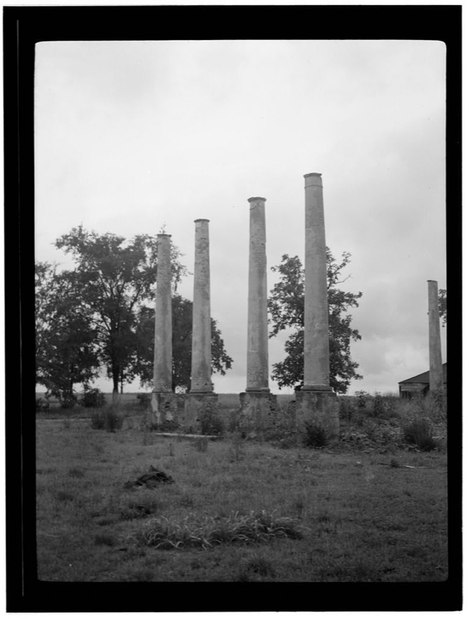
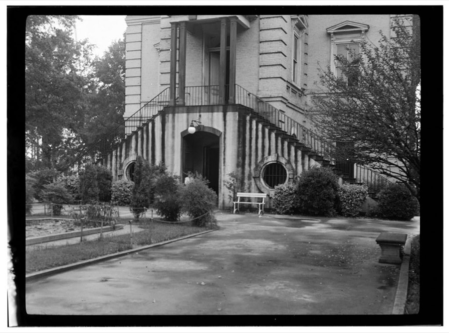
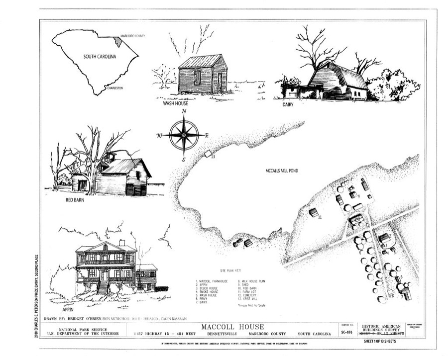
Every property in this county listed on the National Register of Historic Places, with the year it was listed and the federal nomination document.
| Photograph | Property | Type | Listed | Reference |
|---|---|---|---|---|
 | Appin | building | 1982 | 82003894 |
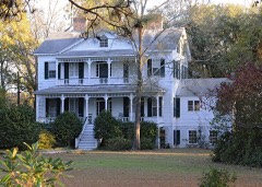 | Appin (Boundary Increase) | building | 2007 | 07001044 |
 | Bennettsville Historic District | district | 1978 | 78002525 |
 | Bennettsville Historic District (Boundary Increase) | building | 1993 | 93000438 |
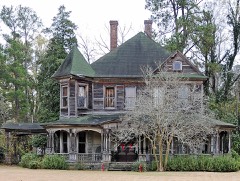 | Clio Historic District | district | 1979 | 79002388 |
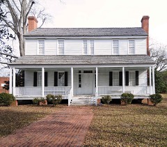 | Jennings-Brown House | building | 1972 | 72001215 |
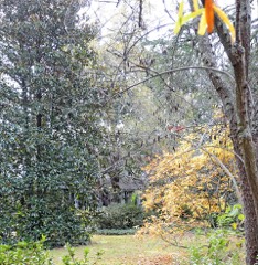 | Magnolia | building | 1973 | 73001721 |
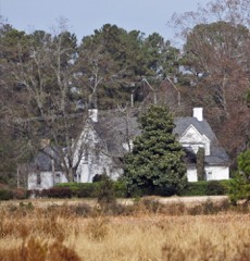 | Manship Farmstead | district | 1997 | 97000540 |
| Marlboro County Training School | building | 2025 | 100011778 | |
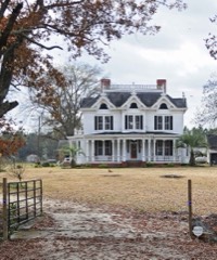 | McLaurin House | building | 1978 | 78002526 |
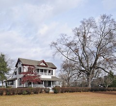 | McLaurin-Roper-McColl Farmstead | district | 2012 | 11001043 |
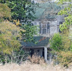 | Pegues Place | building | 1971 | 71000790 |
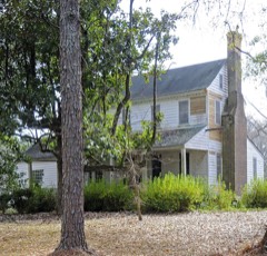 | Robertson-Easterling-McLaurin House | building | 1984 | 84002090 |
Sampled issues, machine-read from the Library of Congress scan and published page by page, so every headline and column is searchable text.
Bennettsville, S.C., 1911. Machine-read from the Library of Congress scan.
Bennettsville, S.C., 1882 to 1908. Machine-read from the Library of Congress scan.
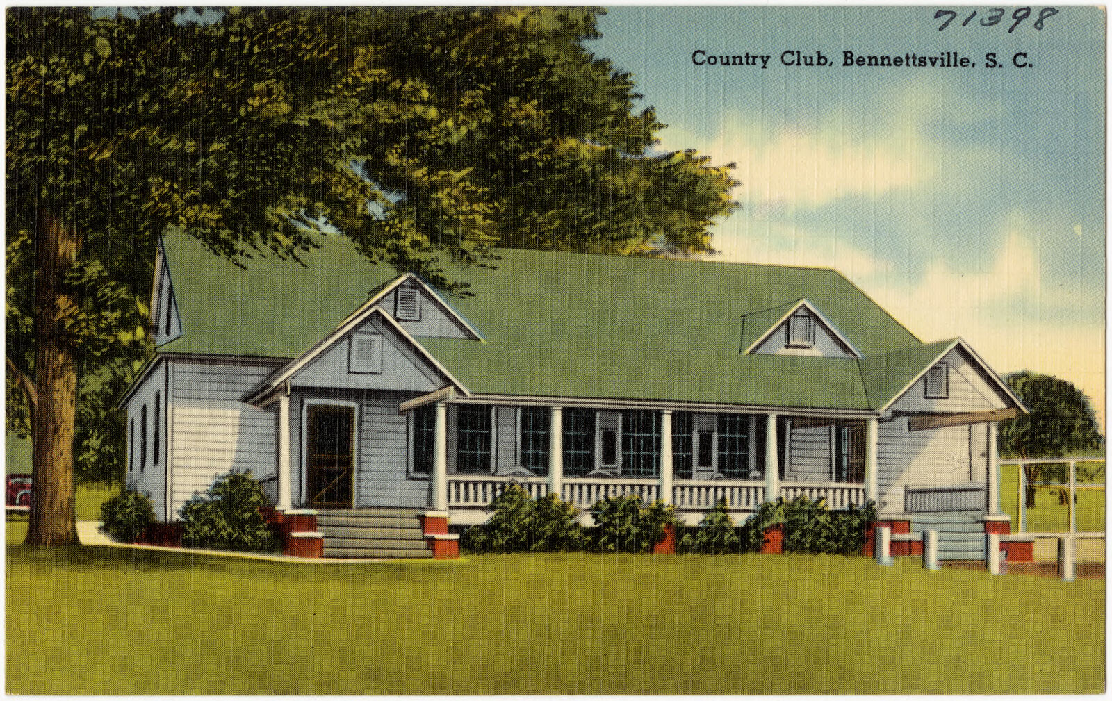
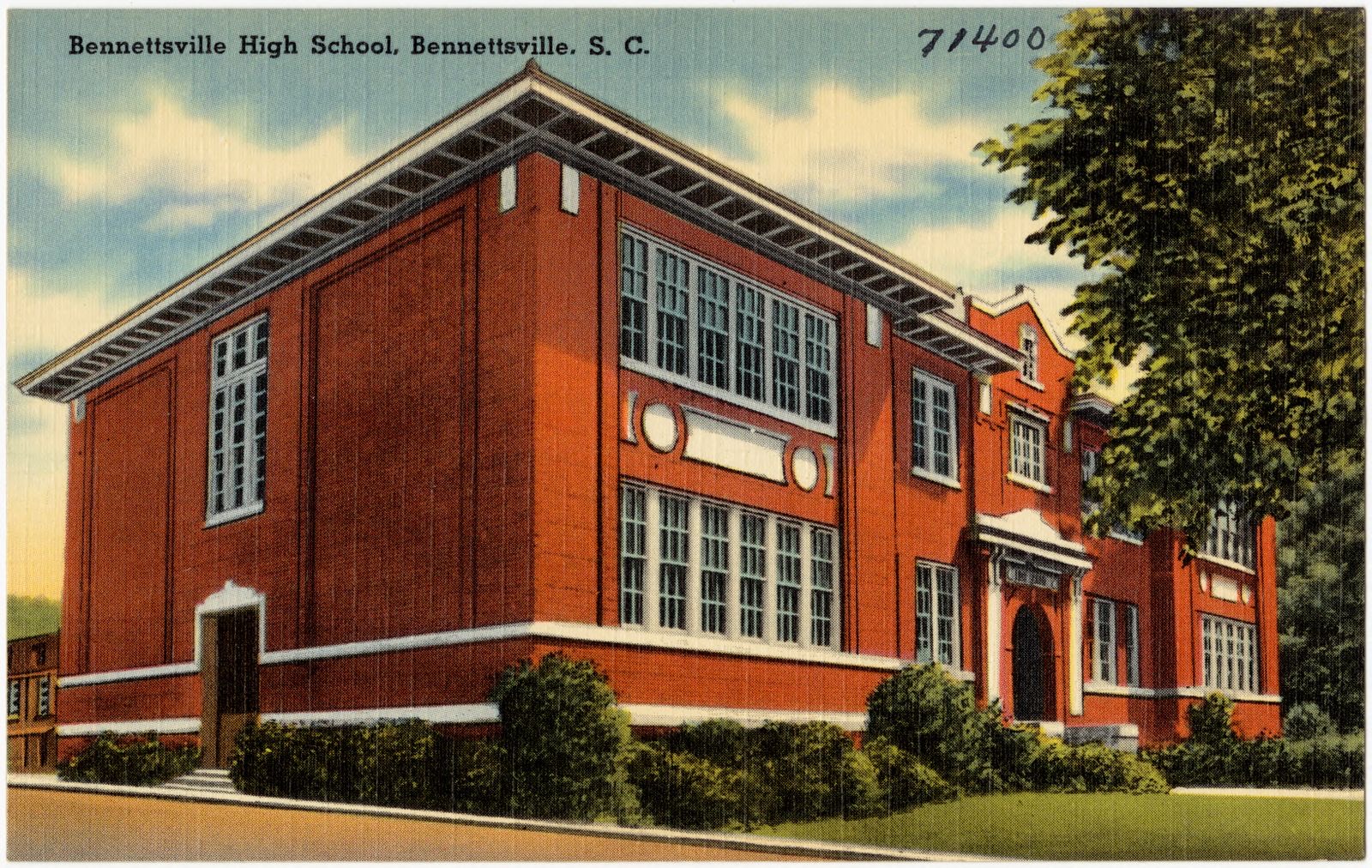
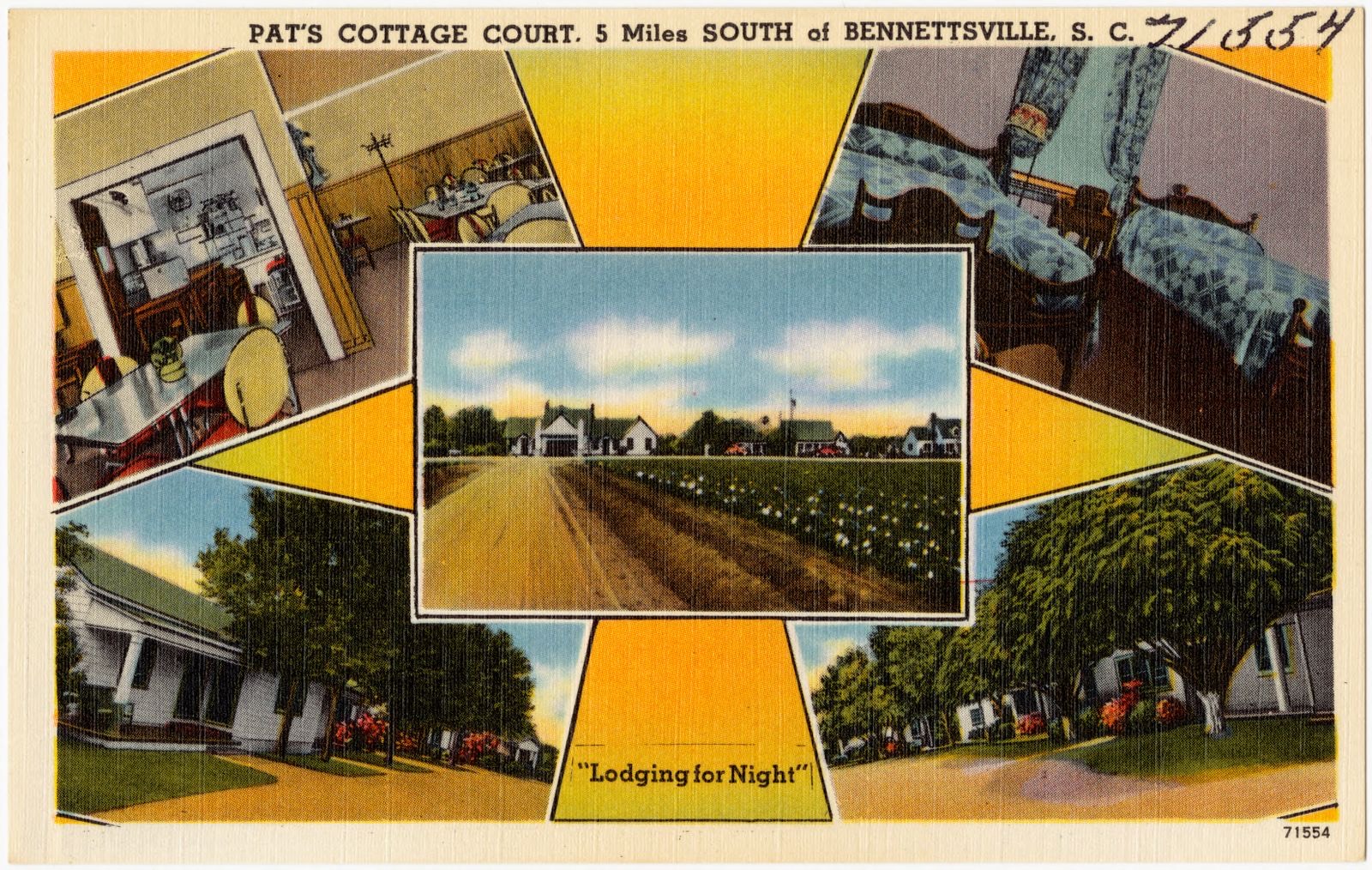
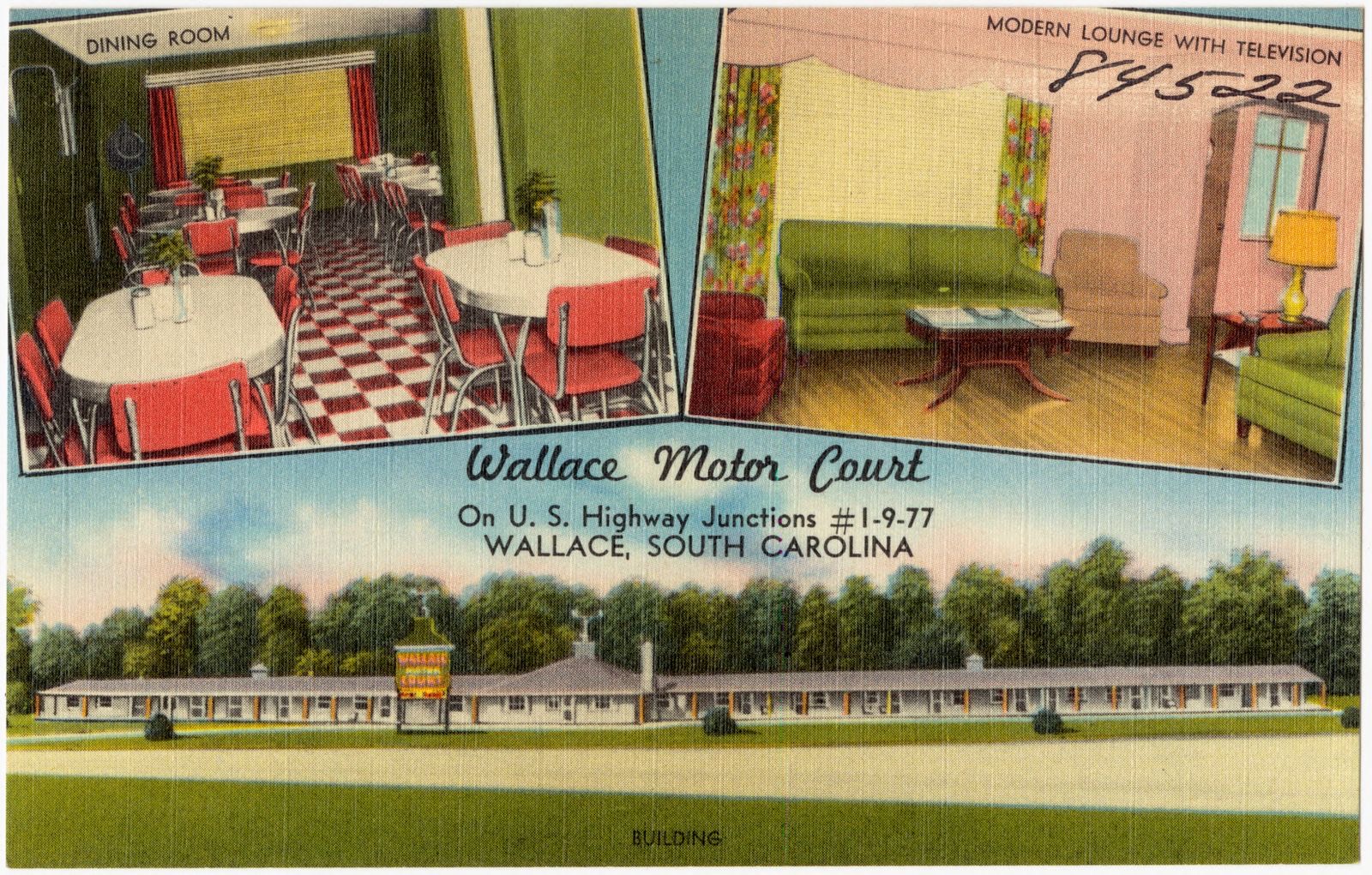
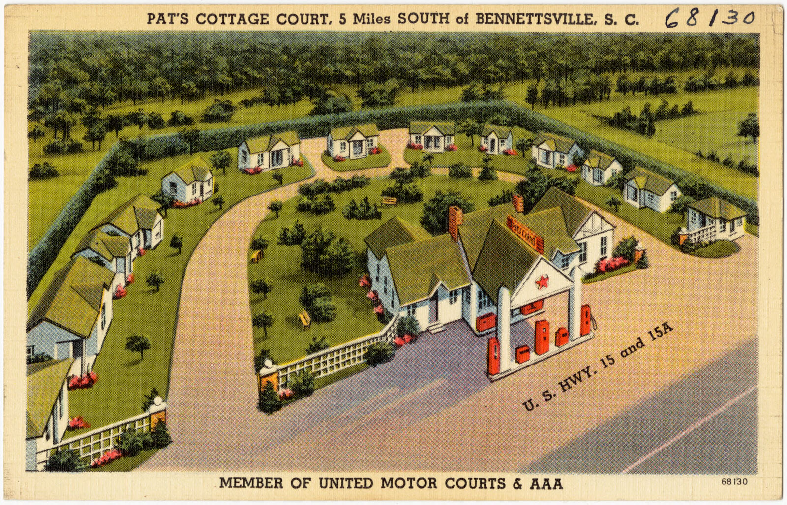
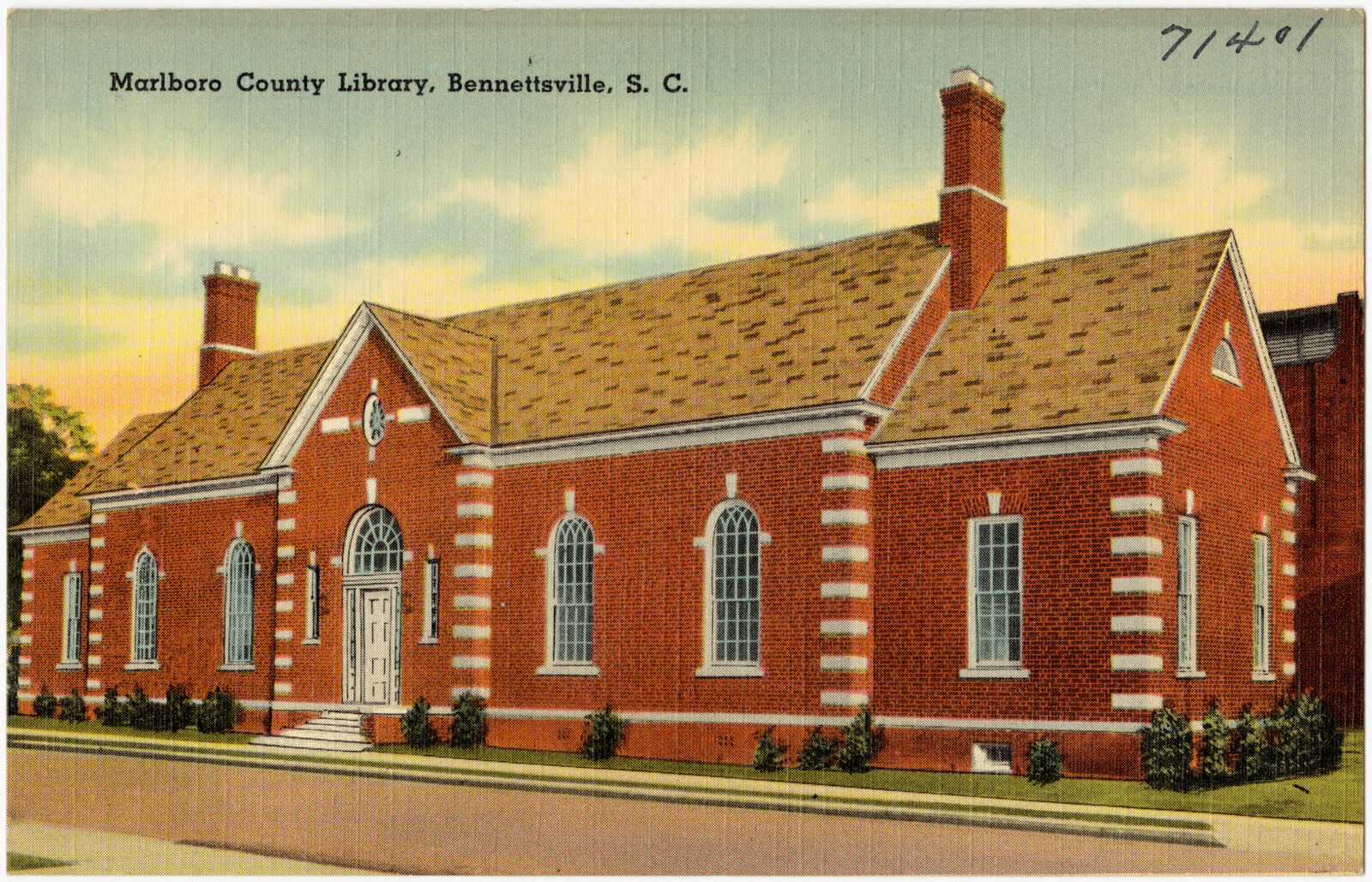
Selected from the Digital Public Library of America's 9 image records catalogued for this county. Every one shown here carries a public-domain status or a licence that permits reuse on a site that carries advertising; non-commercial, share-alike and restricted images are excluded. The selection is spread across the county's towns (at most eight per town), so no single institution's bulk upload crowds out the rest. Each opens the holding library's record, and the complete set at the Digital Public Library of America is one click away.

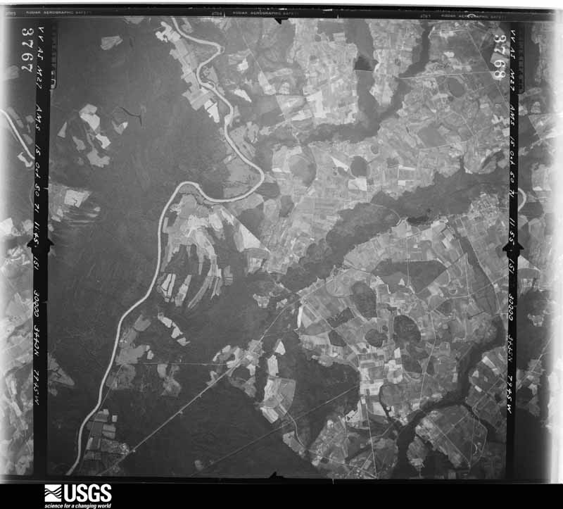
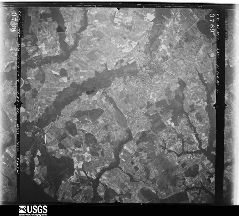
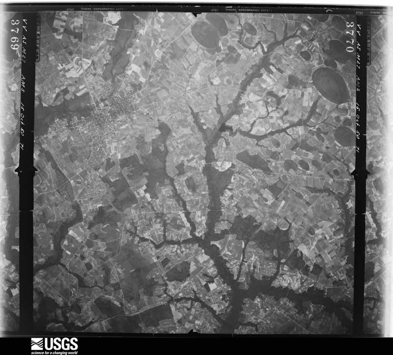
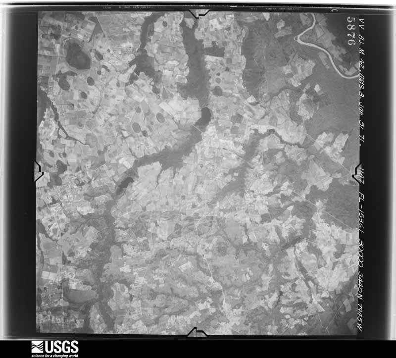
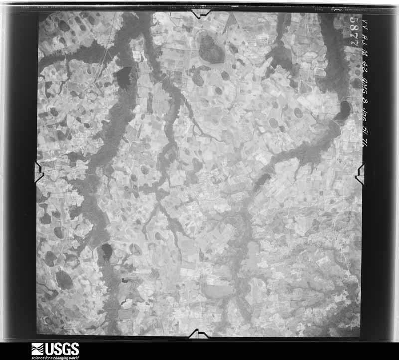
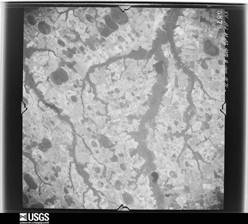
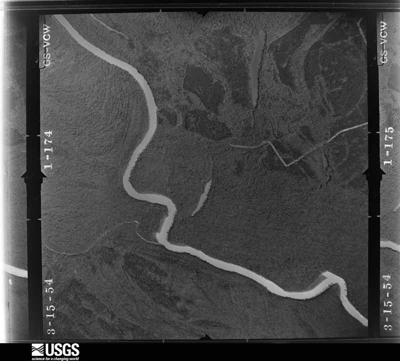
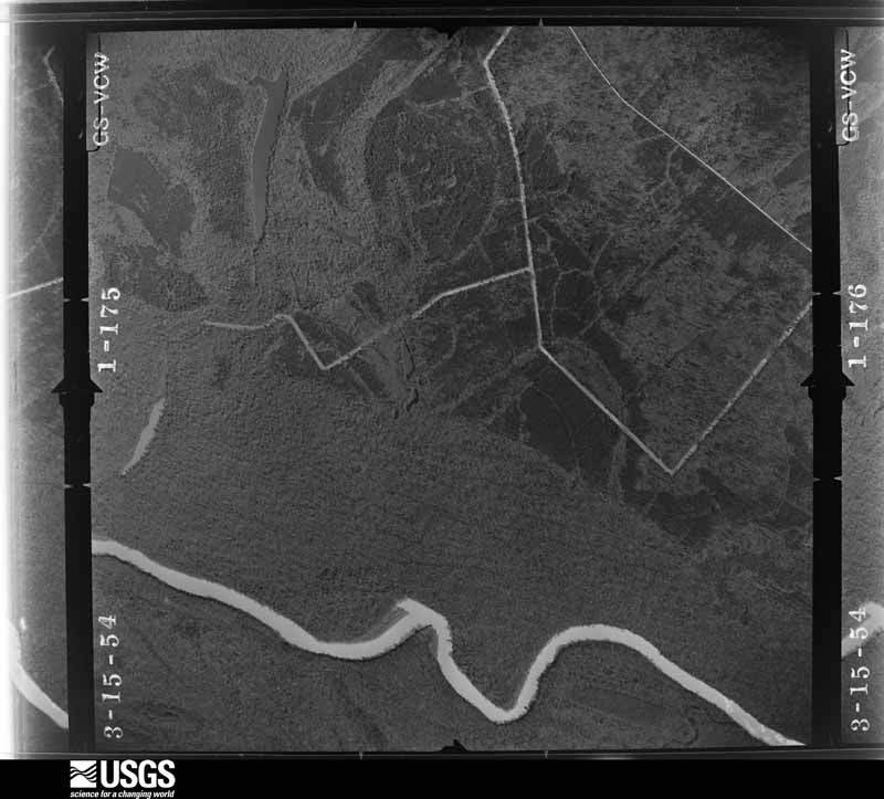
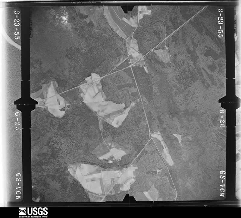
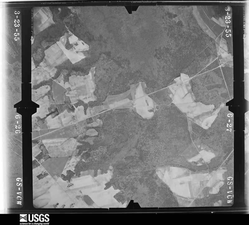
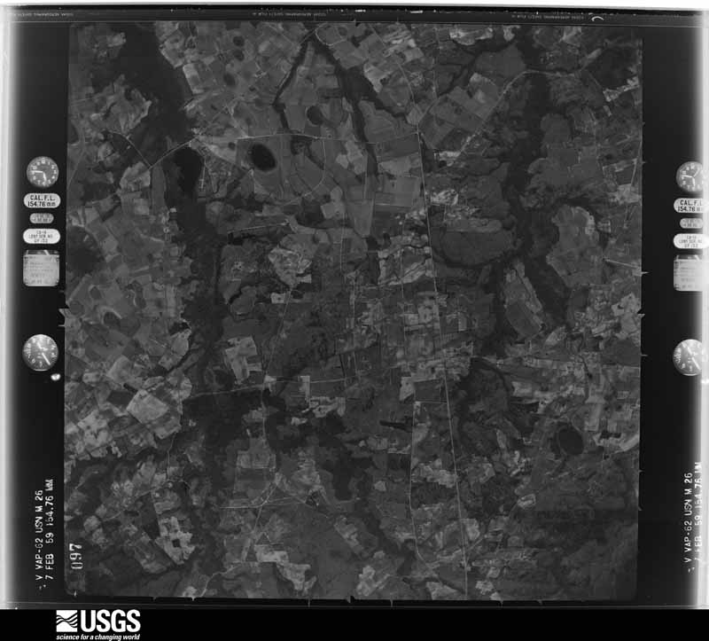
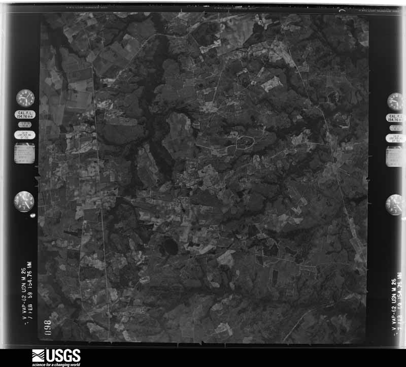
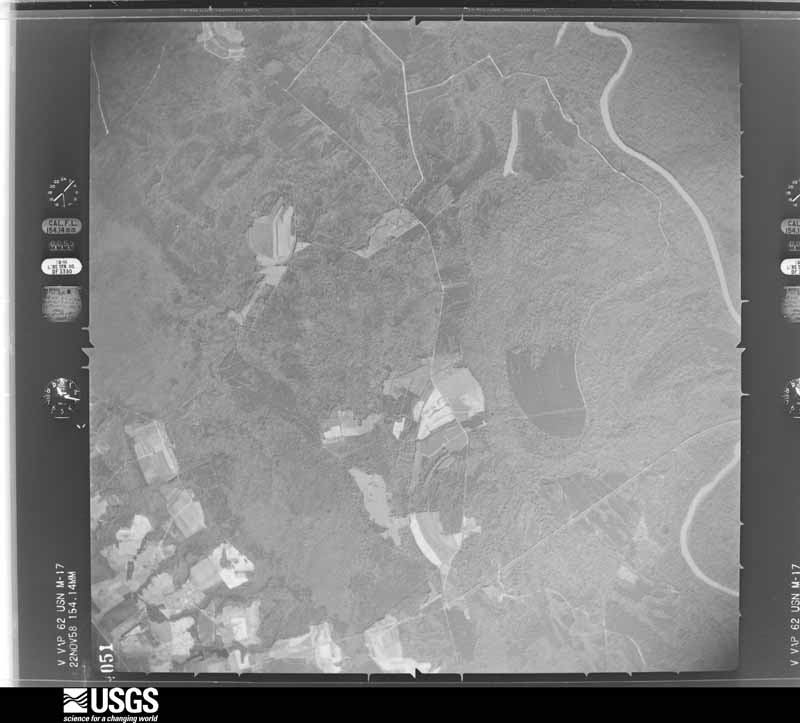
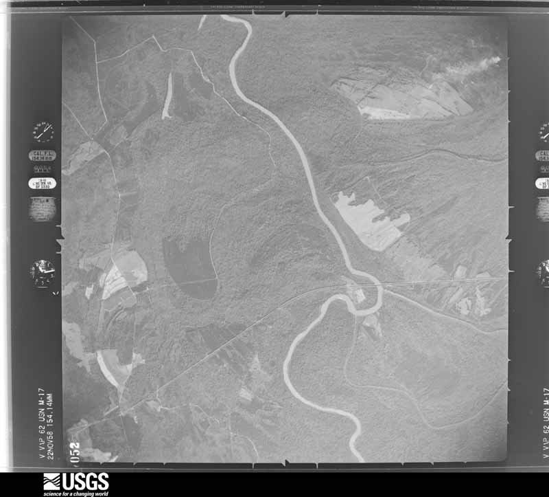
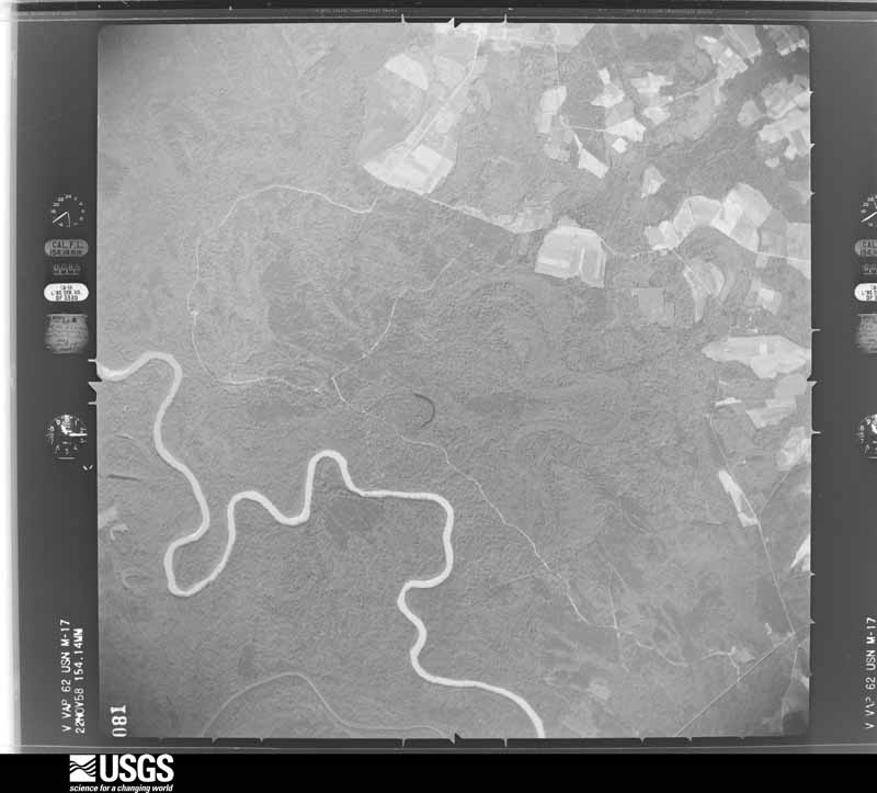
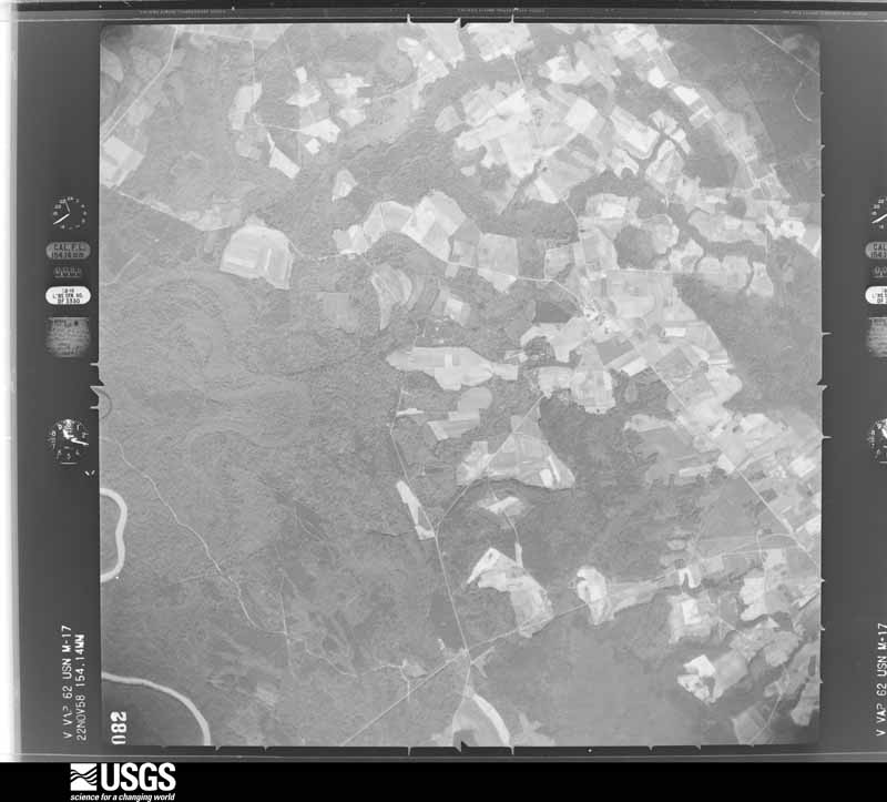
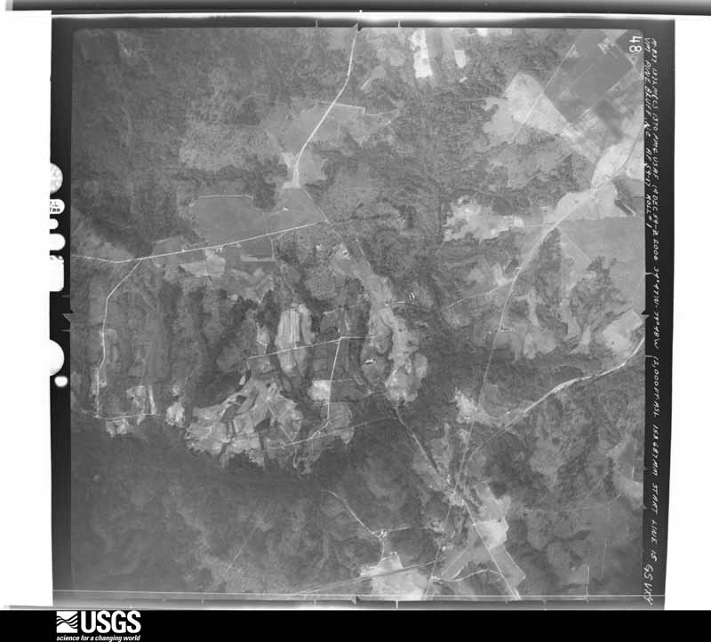
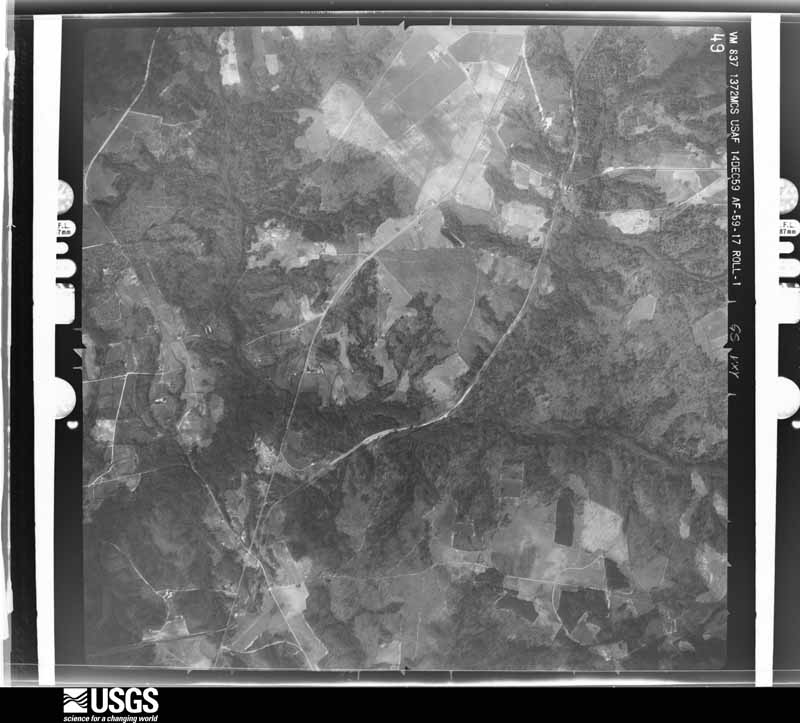
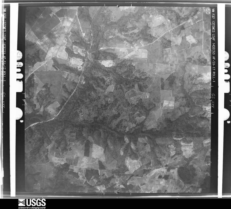
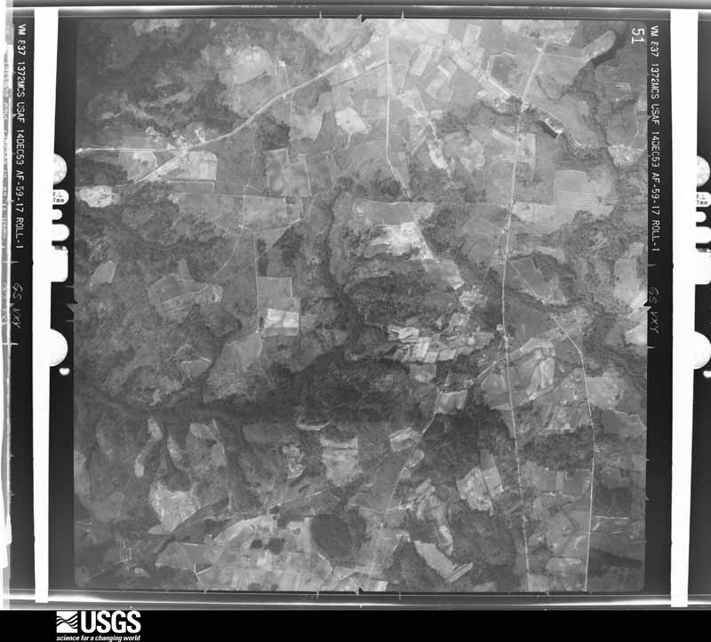
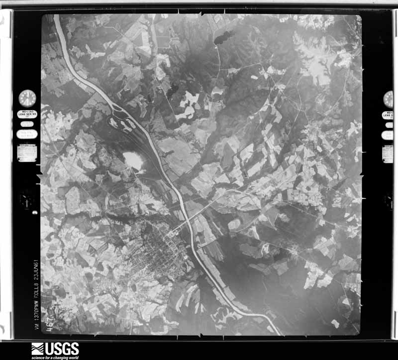
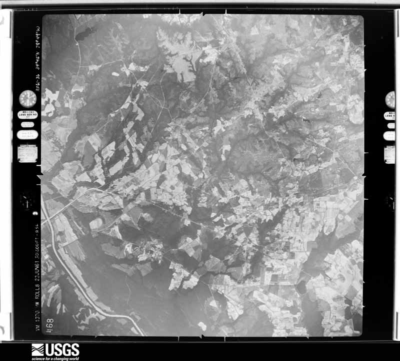
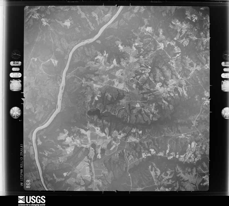
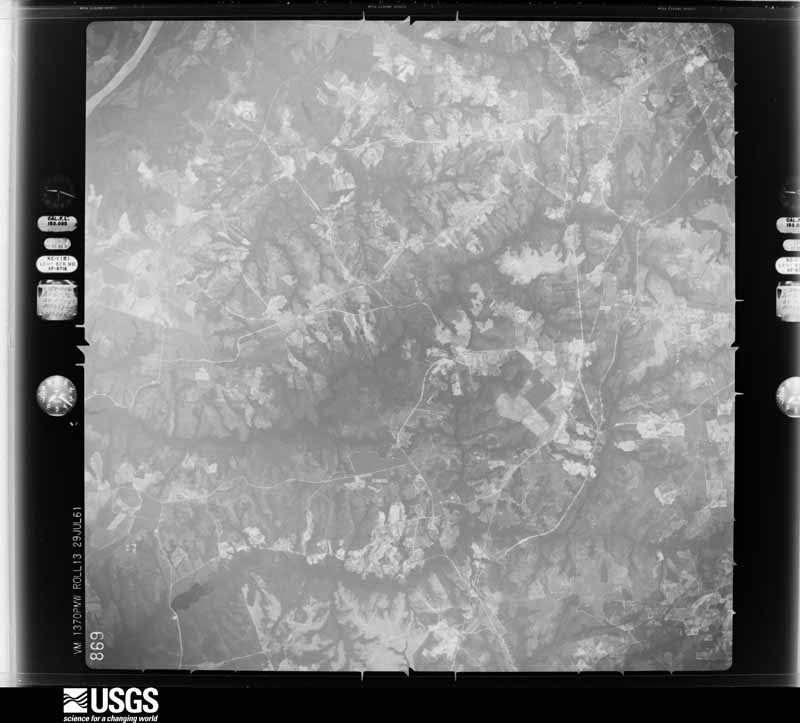
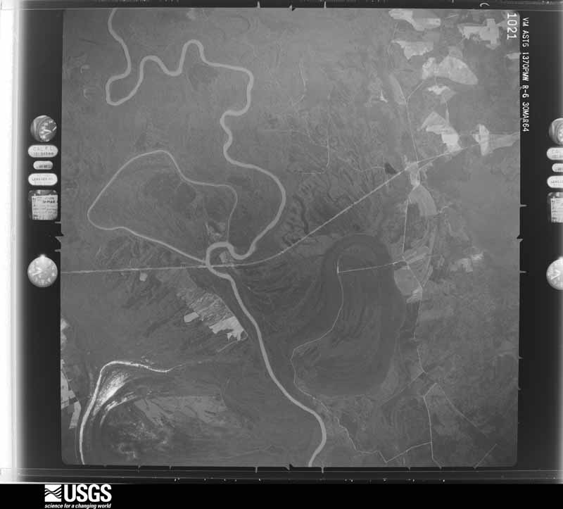
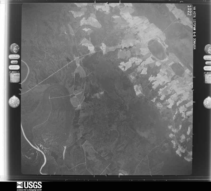
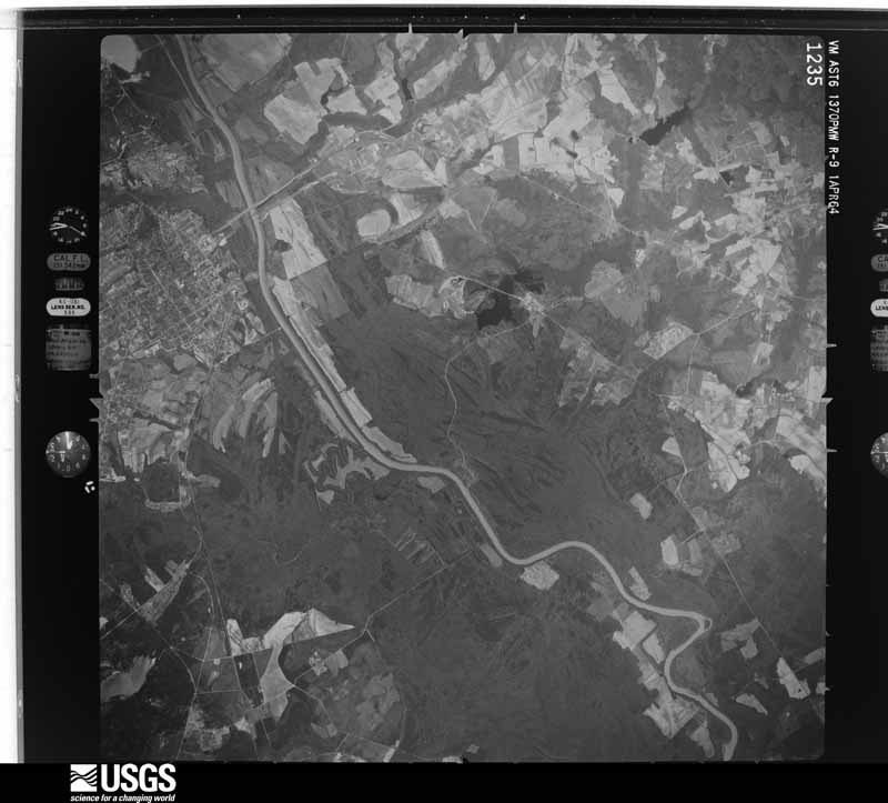
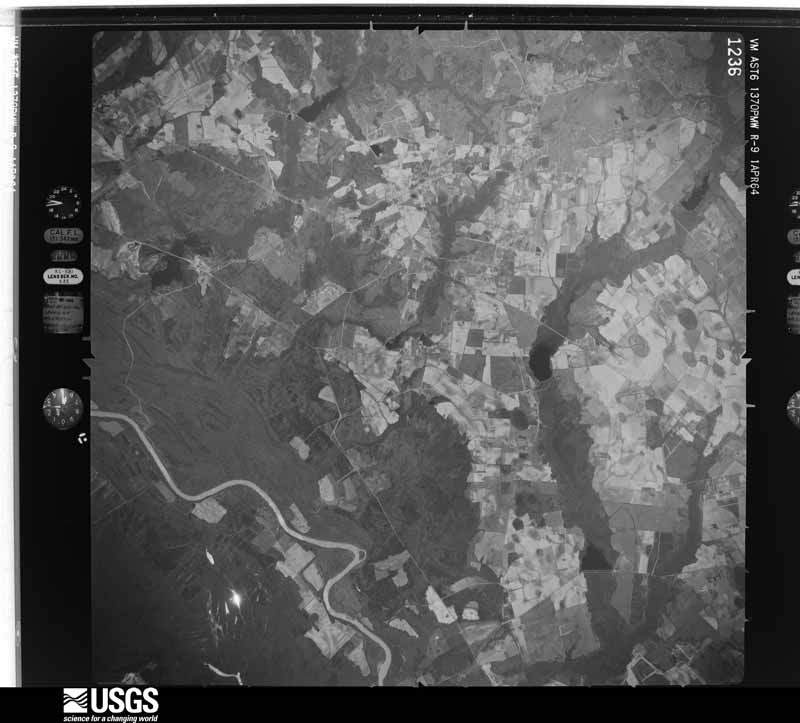
Flown by the U.S. Geological Survey between 1937 and 1989, the Aerial Photo Single Frames collection is the definitive mid-century view of the land: fields, roads and rivers as the camera saw them. The Survey holds 2,343 frames inside the rectangle that bounds this county; the 48 frames below were taken over the county itself, chosen across the decades of flights (at most four a year from that rectangle), so one flight cannot crowd out the rest. The full set is free to browse and download at EarthExplorer under the dataset Aerial Photo Single Frames.


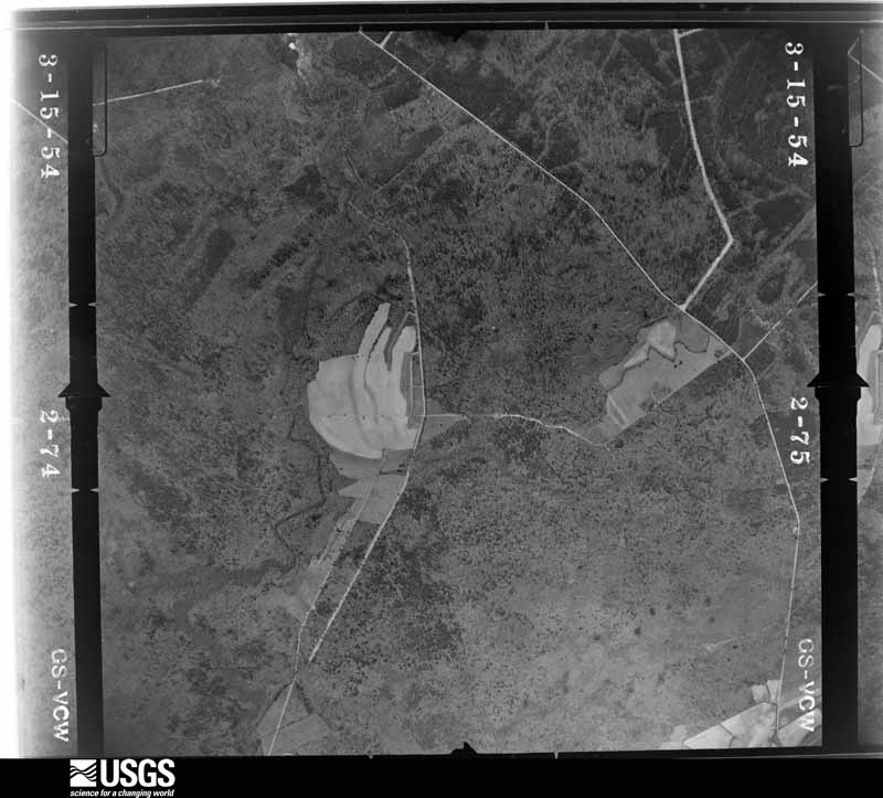
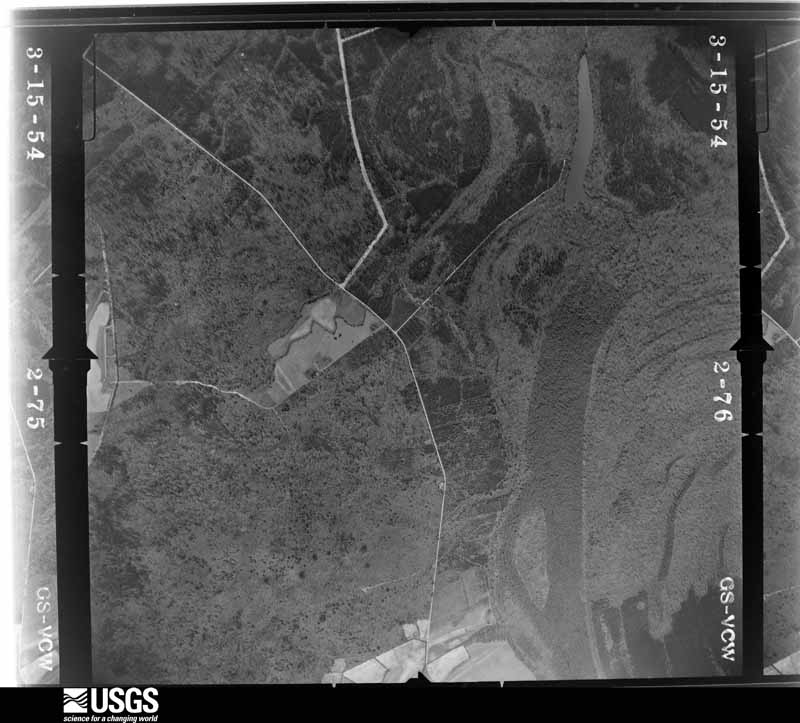
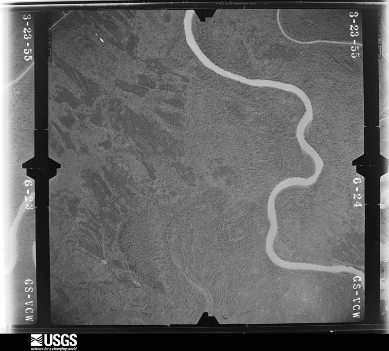
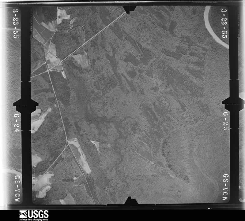


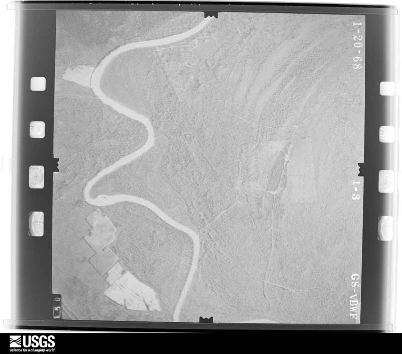
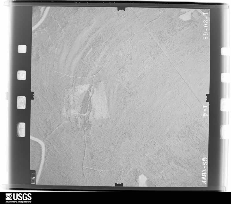
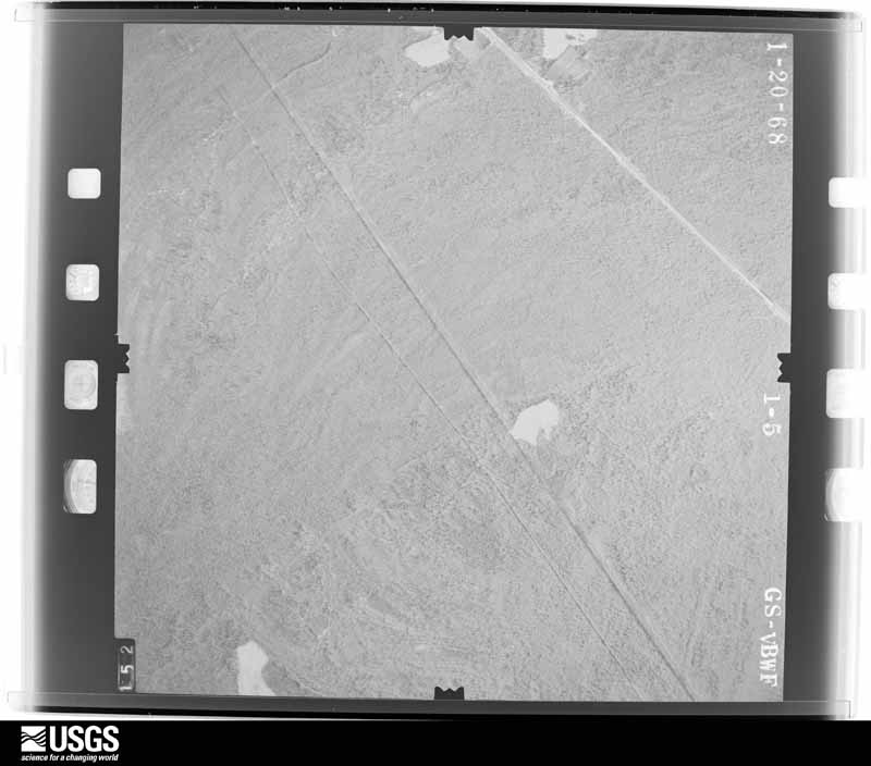
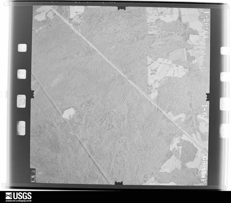
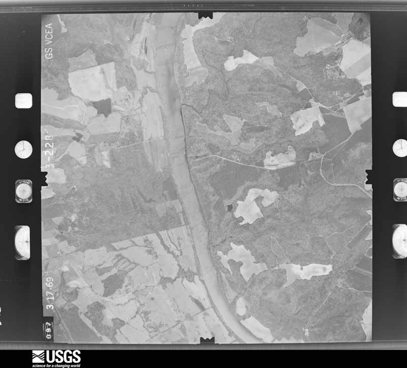
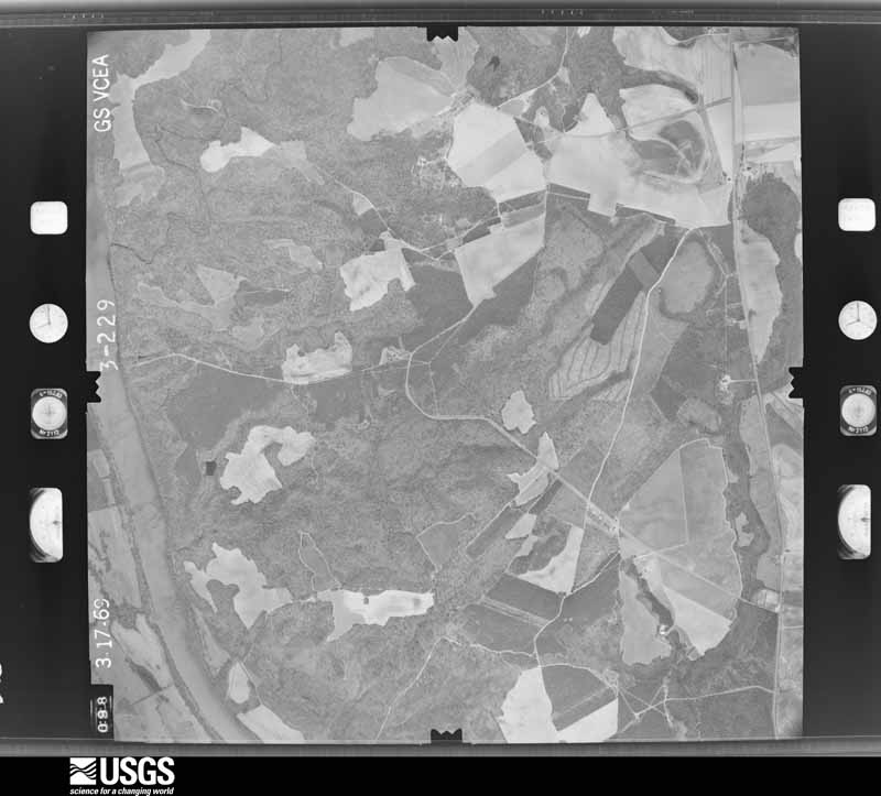
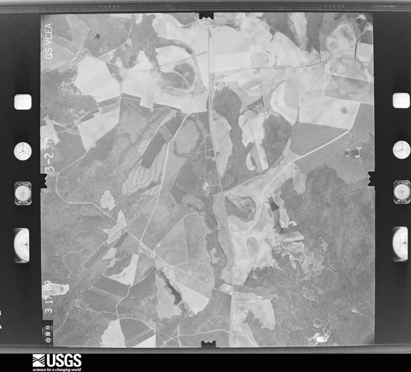
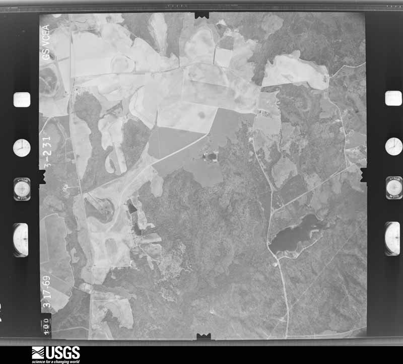
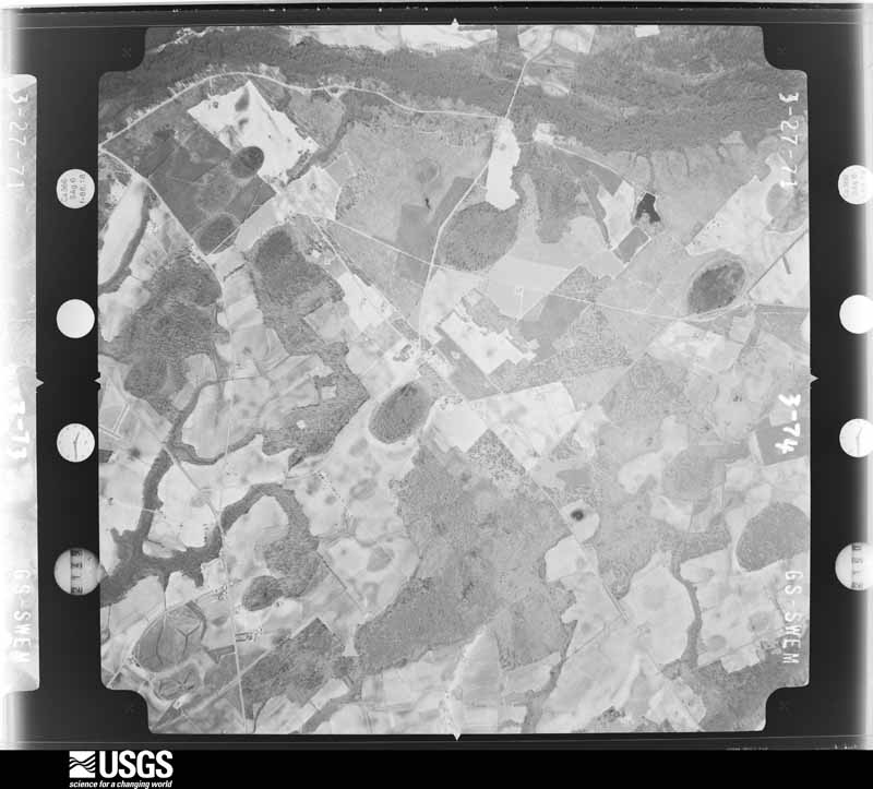
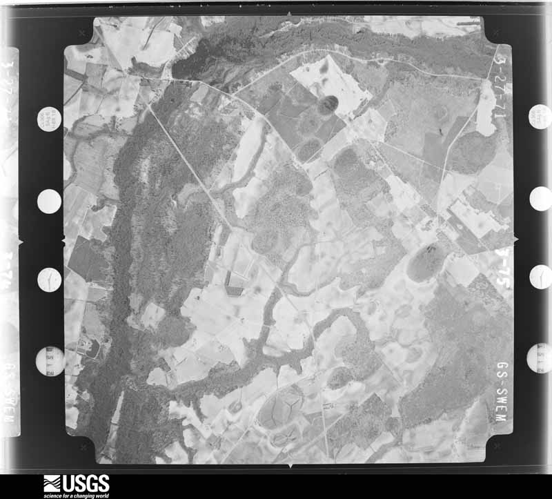
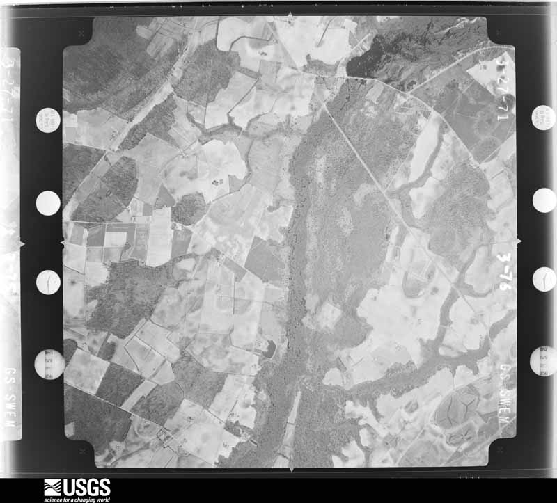
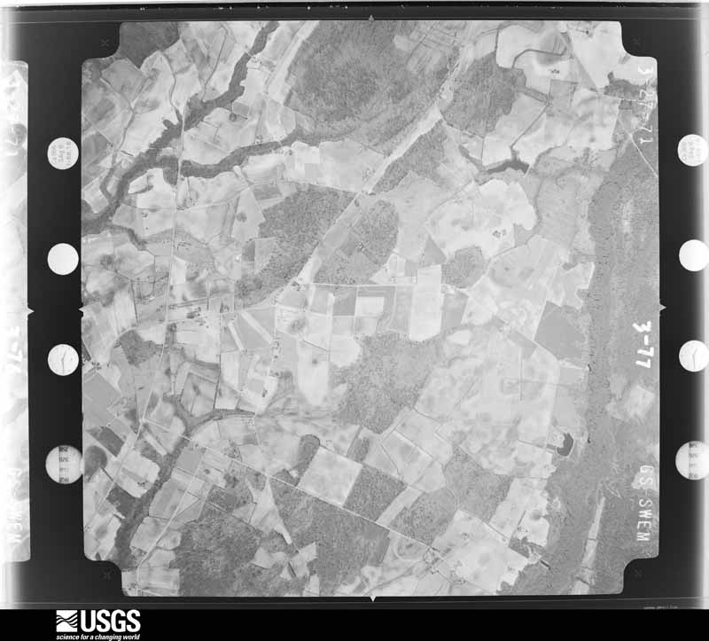
The thermometers that kept this county's weather, and the gages that measured the flow of its streams, as the federal records hold them. The extremes below are measured values from those records, not estimates.
Who lived here in 1950, one enumeration district at a time, as the Census Bureau described each district. Each row opens its official National Archives result, with Population Schedules and ED Maps available there.
Every wildfire the federal occurrence database records inside this county: 1,591 of them, burning about 9,843 acres. 27 started naturally and 386 were recorded as arson. Each settlement page carries the fires within five miles of it.
| Reported cause | Fires |
|---|---|
| Missing data/not specified/undetermined | 539 |
| Debris and open burning | 462 |
| Arson/incendiarism | 386 |
| Equipment and vehicle use | 95 |
| Misuse of fire by a minor | 42 |
| Natural | 27 |
| Smoking | 23 |
| Railroad operations and maintenance | 13 |
| Power generation/transmission/distribution | 3 |
| Fireworks | 1 |
The five largest, by the area the report gives. Two of them were set deliberately.
| Date | Cause | Size | Reported by | Name on the report |
|---|---|---|---|---|
| 10 March 1993 | Missing data/not specified/undetermined | 420 acres | South Carolina Forestry Commission | not named |
| 19 April 2011 | Arson/incendiarism | 288 acres | South Carolina Forestry Commission | not named |
| 13 March 2006 | Debris and open burning | 255 acres | South Carolina Forestry Commission | not named |
| 10 July 2019 | Natural | 235 acres | South Carolina Forestry Commission | HICKORY GROVE |
| 4 April 2020 | Arson/incendiarism | 200 acres | South Carolina Forestry Commission | not named |
| 13 March 2006 | Debris and open burning | 185 acres | South Carolina Forestry Commission | not named |
| 11 April 1993 | Missing data/not specified/undetermined | 152 acres | South Carolina Forestry Commission | not named |
| 24 February 1995 | Missing data/not specified/undetermined | 150 acres | South Carolina Forestry Commission | not named |
Every settlement page carries the fires within five miles of it - see the settlement index below.
The NOAA Storm Events Database holds 325 reports for this county, causing 10 deaths, 219 injuries and about $53,602,250 in recorded property damage. Each settlement page carries the reports that name it.
| Kind of event | Reports |
|---|---|
| Thunderstorm Wind | 221 |
| Hail | 61 |
| Tornado | 15 |
| Flash Flood | 14 |
| Heavy Rain | 7 |
| Lightning | 3 |
| Flood | 3 |
| Funnel Cloud | 1 |
The most serious of them, by death, then injury, then recorded damage. The accounts are quoted exactly as the forecast office filed them.
| When | Event | Place named | Harm | What the report says |
|---|---|---|---|---|
| March 1984 | Tornado (F4) | not stated | 7 killed, 100 hurt, $25,000,000 | no account filed |
| March 1984 | Tornado (F4) | not stated | 2 killed, 115 hurt, $25,000,000 | no account filed |
| August 1996 | Flash Flood | Bennettsville | 1 killed, $100,000 | no account filed |
| May 1962 | Tornado (F1) | not stated | 2 hurt, $25,000 | no account filed |
| April 2010 | Thunderstorm Wind | Bennetsville Arpt | 1 hurt, $55,000 | A 40 x 60 foot section of roof was blown off a large metal warehouse of a Flakeboard MDF Plant on Highway 912. A trailer was blown off its foundation at the plant. The rear window of a pickup truck was shattered. One person was trapped between a trailer and metal beam and suffered a broken arm. National Weather Service personnel estimated a wind gust to 95 mph caused the damage. |
| May 1988 | Thunderstorm Wind | not stated | 1 hurt | no account filed |
| April 2020 | Thunderstorm Wind | Wallace | $300,000 | A few very strong microburts caused widespread damage near the city of|Wallace SC. The width of the entire damage area is approximately 2 to 3 |miles wide and 4 to 5 miles long. All of the damage was aligned nearly|unidirectional at every location damage was observed. The near straight |line swath of damage coupled with evidence of a very wide swath of damage |was indicative of microbursts in this event. ||Most of the winds within this area ranged from 65 to 85 mph with several |locations of 90 to 110 mph winds. Several homes were impacted with roofs |blown off, and an unanchored single wide mobile home was flipped off its |foundation. In addition, hundreds of softwood and hardwood trees|were either snapped or uprooted across a wide area. The most intensive|damage appeared in three areas including: Grants Mill Rd W near Hwy 9|east of Wallace, the Garden Rd area near Old Wire Rd., and along sections|of Hwy 177 northeast of Wallace. |
| October 2016 | Flash Flood | Bennettsville | $250,000 | Crooked Creek was out of its banks and caused considerable flooding in the town of Bennettsville. Flood waters did impact some homes in town. Evacuations were reported to include the communities of Richardson Park and Shady Rest. The time was estimated. |
| September 2004 | Tornado (F1) | Clio | $250,000 | Tornado snapped or uprooted numerous trees and damaged several homes. |
| March 1991 | Tornado (F1) | not stated | $250,000 | no account filed |
| April 1957 | Tornado (F4) | not stated | $250,000 | no account filed |
| December 1955 | Tornado (F2) | not stated | $250,000 | no account filed |
| October 2016 | Flash Flood | Wallace | $200,000 | An earthen dam was compromised by the excessive rainfall and washed out a portion of train track near Highway 9, west of Wallace. This led to a train derailment. |
| October 2016 | Flash Flood | Bennettsville | $100,000 | A portion of Covington Mill Pond Road was washed out. The time was estimated. |
| October 2016 | Flash Flood | Five Forks | $100,000 | A portion of Hebron Dunbar Road was washed out. The time was estimated. |
| October 2016 | Flash Flood | Bristow | $100,000 | A portion of Allen Ridge Road was washed out. The time was estimated. |
| January 1995 | Thunderstorm Wind | not stated | $100,000 | ,Trees down, power outages, damage to businesses |
| January 1995 | Thunderstorm Wind | countywide | $100,000 | Trees and power lines down, part of roof of Welamic Paper Plant blown off, homes damaged in Bennettsville. Power outages and damage to businesses across Marlboro County. |
| July 1998 | Thunderstorm Wind | Bennettsville | $80,000 | Thunderstorm winds caused damage to buildings and sheds at Gold Kist, cotton trailers were overturned at McColl Ginnerry, and the sign, a light pole and car windows were broken at a car dealership. |
| March 1998 | Lightning | Clio | $75,000 | LIGHTNING-CAUSED FIRE IN THE HEBRON-DUNBAR COMMUNITY BURNED A STORAGE BUILDING , DESTROYING TRACTORS AND HISTORICAL FARMING EQUIPMENT. |
| September 2004 | Tornado (F1) | Mc Coll | $60,000 | Tornado demolished a stapped down mobile home. |
| April 2010 | Thunderstorm Wind | Clio | $55,000 | A National Weather Service Storm Survey Team confirmed a microburst with winds to 95 mph. The most significant structural damage occurred to a small three-bay auto garage on Juniper Street near Highway 9 in Clio. This brick and cinder block structure lost its sheet metal roof just before the exterior walls collapsed. Two people took shelter inside the building just before the storm hit and were not injured. The roof of the building was lifted and blown approximately 100 yards. A snapped power pole appeared to be the result of the airborne roof. Trees were also down. The damage pattern was indicative of a strong and narrow microburst. The microburst was estimated to be 20 yards wide and 100 yards long. |
| February 2020 | Thunderstorm Wind | Mill Vlg | $50,000 | The emergency manager reported that a roof was blown off a house. |
| May 2019 | Thunderstorm Wind | Bennettsville | $50,000 | Call center reported multiple trees and power lines down in Bennettsville. |
| August 2004 | Thunderstorm Wind | Wallace | $50,000 | Off of Rt 177, strong winds blew trees, a mobile home and a shed over. |
| September 1993 | Thunderstorm Wind | not stated | $50,000 | Thunderstorm winds downed power lines and damaged a mobile home. |
| August 2000 | Thunderstorm Wind | Clio | $40,000 | A strong thunderstorm moved through the town of Clio, with reports of trees down. Two homes sustained major damage due to the falling trees. Newspaper reports also indicated both corn and cotton crops sustaining damage. Northeast of the city, 911 reported large tree limbs down. A trained spotter also reported dime size hail on Highway 83. |
| August 2011 | Flash Flood | Mc Coll | $30,000 | Radar estimated over seven inches of rain fell in 90 minutes over the town of Mccoll. This led to flash flooding on Main Street and Fletcher Street. Several cars became stranded with water up to the windows. Water inundated several homes with as much as three feet of water. |
| July 2008 | Thunderstorm Wind | Bennettsville | $30,000 | Trees were blown down. The walls and rafters of a funeral home that was under construction collapsed. |
| May 2003 | Thunderstorm Wind | Bennettsville | $30,000 | 911 reported numerous trees down. A mobile home was significantly damage. |
| March 1999 | Lightning | Bennettsville | $30,000 | A morning thunderstorm lightning strike caused a fire to a residence. No injuries. |
| December 2018 | Thunderstorm Wind | Fulton | $25,000 | Several trees were snapped with large limbs blown down. There was roof damage to several old sheds/buildings. |
| August 2004 | Thunderstorm Wind | Wallace | $25,000 | Winds blew the top off of a trailer and wrapped the trailer around a tree. |
| June 1966 | Tornado (F1) | not stated | $25,000 | no account filed |
| May 2019 | Thunderstorm Wind | Mc Coll | $20,000 | Duke Energy reported widespread power outages in McColl. |
| July 2003 | Thunderstorm Wind | Bennettsville | $20,000 | An apparent microburst snapped three large oak trees that fell on two cars. A home had the shingles blown off, and a shed had the roof blown off. Trees were reported down on State St. and South Parsonidge. Small hail was also reported. |
| June 2010 | Thunderstorm Wind | Drake | $18,000 | A metal roof was partially blown off a large metal building. Two large trees were reported down, one of the trees fell onto a house. Damage occurred near the intersection of Ellerslie Lane and Drake Road. |
| June 2010 | Thunderstorm Wind | Fulton | $15,000 | Numerous trees and power lines were reported down near the intersection of Aaron Temple Church Road and Old Wire Road. |
| May 2009 | Thunderstorm Wind | Mc Coll | $15,000 | Numerous trees were reported down. |
| November 2004 | Thunderstorm Wind | Wallace | $15,000 | Strong winds blew power lines down, uprooted trees, and blew the roof off a house. |
| September 2004 | Tornado (F0) | Bennettsville | $15,000 | A tornado damaged a steel conveyor belt track at a sand and gravel mine. Several trees were snapped, and the roof of a front porch of a church was lifted off. |
| July 2016 | Thunderstorm Wind | Bennettsville | $12,000 | Numerous trees were reported down across Bennettsville. The time was estimated based on radar data. |
| January 2024 | Thunderstorm Wind | Fulton | $10,000 | Trees and powerlines down along Old Wire Road. |
| May 2021 | Thunderstorm Wind | Mc Coll | $10,000 | A tree was blown down on a car. |
| April 2019 | Thunderstorm Wind | Mc Coll | $10,000 | Multiple trees down with several power lines down. |
| July 2018 | Thunderstorm Wind | Dunbar | $10,000 | The Utility Company reported trees down on power lines near Currie Road and SC-9 west of Minturn, SC. Damage to electrical equipment led to an estimated 175 power outages. |
| September 2018 | Flash Flood | Clio | $10,000 | Flooding on Dunbar Hwy from Fourth Street to Culvert Street. |
| September 2018 | Flash Flood | Blenheim | $10,000 | Main Street in Blenheim closed due to flooding. |
| June 2006 | Thunderstorm Wind | Mc Coll | $10,000 | Large tree fell on a car. |
| August 2004 | Tornado (F1) | Wallace | $10,000 | A tornado downed trees and destroyed a wooden fence. There was roof and siding damage to many homes. |
| February 2003 | Thunderstorm Wind | Clio | $10,000 | South Carolina highway patrol reported trees down, with a car damaged on Cottingham Rd. |
| August 2000 | Thunderstorm Wind | Wallace | $10,000 | Damaged occurred to the dugout and concession building of the Wallace ballfield. |
| May 1998 | Thunderstorm Wind | Bennettsville | $10,000 | Strong winds downed trees, signs, and blew debris around Bennettsville. Heavy rains measured up to 4.5 inches, causing curb-deep water in the city. Hail reports ranged to 1 inch diameter. |
| January 2024 | Thunderstorm Wind | Tatum | $6,000 | Three power poles snapped along Mt. Zion church road near Tatum. |
| January 2010 | Thunderstorm Wind | Scott | $6,000 | Several trees were reportedly down. Time was estimated based on radar. |
| June 2001 | Lightning | Clio | $5,500 | Lightning caused two homes to catch fire, causing a total of $5,500 damage. One home was located on Laurin Willis Road, the other on Jefferson St. |
| May 2021 | Thunderstorm Wind | Wallace | $5,000 | Hwy patrol reported a tree down on Hickory Grove Rd and SC 9. Trees down on Aaron Temple Church Rd and Old Wire Rd. |
| April 2011 | Thunderstorm Wind | Wallace | $5,000 | Trees were reportedly down and blocking the roadway. |
| April 2011 | Thunderstorm Wind | Newtonville | $5,000 | Large trees were blocking the road near the intersection of Bradley Road and Highway 385. The time was estimated based on radar data. |
| August 2011 | Flood | Bennettsville | $5,000 | Flooding was reported on Beauty Spot Road East. A car hydroplaned and wrecked. |
The Survey's mineral resources record lists 29 workings inside this county. 8 still produce and 21 are closed or unrecorded. Each settlement page carries the workings within five miles of it.
| Commodity | Workings |
|---|---|
| Sand and Gravel, Construction | 17 |
| Clay | 10 |
| Iron, Zirconium, Thorium, Titanium | 1 |
| Fire Clay (Refractory) | 1 |
The least common of them first, because a county's hundredth gravel pit says nothing its first ten did not.
| Where | Site | Commodity | Status | Recorded |
|---|---|---|---|---|
| Marlboro Shale Pit | Fire Clay (Refractory) | Producer | ||
| Naked Creek | Iron, Zirconium, Thorium, Titanium | Unknown | Placer , Modern , Fluvial | |
| Cheraw Mine | Clay | Unknown | Sedimentary | |
| Cheraw Mine | Clay | Producer | ||
| Frank Estridge Clay Mine | Clay | Unknown | Sedimentary | |
| Frank Estridge Clay Mine | Clay | Past Producer | ||
| Gin Creek Mine | Clay | Past Producer | ||
| Gin Creek Shale Pit | Clay | Past Producer | Metamorphic | |
| Irby Mine | Clay | Unknown | Sedimentary | |
| Palmetto Mine | Clay | Producer | ||
| Phillips Mine | Clay | Unknown | Metamorphic | |
| Unnamed Clay Pit | Clay | Unknown | Sedimentary | |
| Blenhein Block Gravel Pit | Sand and Gravel, Construction | Past Producer | Sedimentary | |
| Brownsville Mine | Sand and Gravel, Construction | Past Producer | Sedimentary | |
| Brownsville Mine | Sand and Gravel, Construction | Past Producer | ||
| Brownsville Pit | Sand and Gravel, Construction | Producer | ||
| Brownville Plant | Sand and Gravel, Construction | Past Producer | Sedimentary | |
| Field Plant Pit | Sand and Gravel, Construction | Unknown | ||
| Harrel Pit | Sand and Gravel, Construction | Past Producer | ||
| Hollis Mine | Sand and Gravel, Construction | Unknown | Sedimentary | |
| Hollis Mine | Sand and Gravel, Construction | Past Producer | ||
| Marboro Plant | Sand and Gravel, Construction | Plant | ||
| Marlboro Field Plant | Sand and Gravel, Construction | Producer | Sedimentary | |
| Marlboro Mine | Sand and Gravel, Construction | Producer | ||
| Marlboro Plant | Sand and Gravel, Construction | Producer | Sedimentary | |
| Old Brownsville Plant | Sand and Gravel, Construction | Past Producer | Sedimentary | |
| Turner Pit | Sand and Gravel, Construction | Past Producer | ||
| Turner's Paving Contractors Sand Pit #1 | Sand and Gravel, Construction | Unknown | Sedimentary | |
| Unnamed Gravel Pit | Sand and Gravel, Construction | Unknown | Sedimentary |
One book written about this county, cut here where the book itself is cut, at its printed chapters: 37 chapters in all. Every chapter is public domain, machine-read from the scan and reproduced complete. A chapter already given under one of the county's towns is not repeated in this list.
| Chapter | Length |
|---|---|
| Chapter 1 | 1,413 words |
| Chapter 2 | 2,001 words |
| Chapter 3 | 2,056 words |
| Chapter 4 | 1,734 words |
| Chapter 5 | 2,495 words |
| Chapter 6 | 1,475 words |
| Chapter 7 | 2,935 words |
| Chapter 8 | 1,494 words |
| Chapter 9 | 2,098 words |
| Chapter 10 | 2,009 words |
| Chapter 11 | 2,024 words |
| Chapter 12 | 3,113 words |
| Chapter 13 | 1,454 words |
| Chapter 14 | 1,512 words |
| Chapter 15 | 2,929 words |
| Chapter 16 | 961 words |
| Chapter 17 | 1,146 words |
| Chapter 18 | 2,207 words |
| Chapter 19 | 1,219 words |
| Chapter 20 | 713 words |
| Chapter 21 | 2,000 words |
| Chapter 22 | 2,448 words |
| Chapter 23 | 1,980 words |
| Chapter 24 | 1,961 words |
| Chapter 25 | 1,096 words |
| Chapter 26 | 3,088 words |
| Chapter 27 | 2,731 words |
| Chapter with an unread heading (no. 28 of those read) | 852 words |
| Chapter 29 | 1,242 words |
| Chapter 30 | 1,071 words |
| Chapter 31 | 2,820 words |
| Chapter 32 | 4,327 words |
| Chapter 33 | 1,262 words |
| Chapter 34: Mccoll | 1,921 words |
| Chapter 35 | 2,659 words |
| Chapter 37 | 1,348 words |
| Chapter 39 | 1,988 words |
Named settlements recorded in the Geographic Names Information System, each with the topographic sheets covering it. Villages, hamlets and abandoned places alike. Each is shown with the nearest named watercourse or landform and the survey quadrangle it falls on. The 3 places that were also surveyed for fire insurance come first, with the number of atlases and photographs held for them.
Bennettsville census division · 29512 · Bennettsville South quadrangle
8 sheets, 1942 to 1983
Fire insurance: 7 atlases
Clio census division · 29525 · Clio quadrangle
8 sheets, 1942 to 1983
Fire insurance: 2 atlases
McColl census division · 29570 · On Parker Branch · McColl quadrangle
10 sheets, 1942 to 1983
Bennettsville census division · 29512 · Bennettsville South quadrangle
8 sheets, 1942 to 1983
No longer a settlement
Bennettsville census division · 29512 · On Gulley Branch · Bennettsville South quadrangle
8 sheets, 1942 to 1983
No longer a settlement
Bennettsville census division · 29512 · On Beverly Creek · Bennettsville North quadrangle
8 sheets, 1942 to 1983
Bennettsville census division · 29512 · Bennettsville North quadrangle
8 sheets, 1942 to 1983
McColl census division · 29512 · On Beverly Creek · Bennettsville North quadrangle
8 sheets, 1942 to 1983
No longer a settlement
Bennettsville census division · 29512 · Bennettsville North quadrangle
8 sheets, 1942 to 1983
Bennettsville census division · 29512 · Bennettsville North quadrangle
8 sheets, 1942 to 1983
Bennettsville census division · 29512 · Bennettsville South quadrangle
8 sheets, 1942 to 1983
Wallace census division · 29596 · Wallace quadrangle
9 sheets, 1942 to 1983
No longer a settlement
Bennettsville census division · 29512 · Bennettsville South quadrangle
8 sheets, 1942 to 1983
Wallace census division · 29596 · Wallace quadrangle
9 sheets, 1942 to 1983
No longer a settlement
Wallace census division · 29596 · Wallace quadrangle
9 sheets, 1942 to 1983
No longer a settlement
Bennettsville census division · 29512 · On Herndon Branch · Bennettsville South quadrangle
8 sheets, 1942 to 1983
No longer a settlement
Bennettsville census division · 29512 · Bennettsville North quadrangle
8 sheets, 1942 to 1983
Bennettsville census division · 29512 · On Lilly Quick Creek · Bennettsville North quadrangle
8 sheets, 1942 to 1983
McColl census division · 29512 · On Beverly Creek · Bennettsville North quadrangle
8 sheets, 1942 to 1983
Wallace census division · 29596 · Diggs quadrangle
10 sheets, 1942 to 1983
No longer a settlement
Bennettsville census division · 29512 · Near Beattie Hill · Wallace quadrangle
9 sheets, 1942 to 1983
Bennettsville census division · 29512 · Bennettsville South quadrangle
8 sheets, 1942 to 1983
McColl census division · 29570 · On Marsnip Branch · McColl quadrangle
10 sheets, 1942 to 1983
Clio census division · 29525 · Clio quadrangle
8 sheets, 1942 to 1983
No longer a settlement
Blenheim census division · 29516 · On Carters Branch · Bennettsville South quadrangle
8 sheets, 1942 to 1983
Wallace census division · 29512 · Bennettsville North quadrangle
8 sheets, 1942 to 1983
Clio census division · 29525 · On Beaverdam Creek · Clio quadrangle
8 sheets, 1942 to 1983
Blenheim census division · 29516 · Bingham quadrangle
9 sheets, 1943 to 1983
No longer a settlement
Bennettsville census division · 29512 · Bennettsville South quadrangle
8 sheets, 1942 to 1983
Bennettsville census division · 29512 · On Crooked Creek · Society Hill quadrangle
8 sheets, 1942 to 1983
No longer a settlement
The vanished settlements of Marlboro County: the places named above that are no longer on the map.
8 topographic sheets and 7 fire insurance atlases, 1895 to 1949
10 topographic sheets and 7 fire insurance atlases, 1895 to 1942
The complete index, with nothing left out. Each of these is a separate record with its own page: a federal survey report, or the case file that argued a property on to the National Register. Both are public domain and reproduced word for word.
The vanished settlements of Marlboro County, the places these records name that are no longer on the map.