 Block
Cateechee, South Carolina
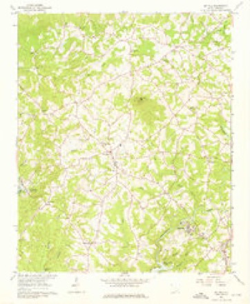
16 topographic sheets cover this place, the earliest surveyed in 1888 and the latest in 1991. It stands in the Central census division. It lies in ZIP code area 29630. It stands on Camp Creek. The Survey maps it on the Six Mile quadrangle.
Topographic sheets covering this place
7 surveys from 16 printed sheetsMatched by testing this settlement's coordinate against the published boundary of every sheet in the United States Geological Survey's historical collection. Each opens the scanned sheet at the Survey.
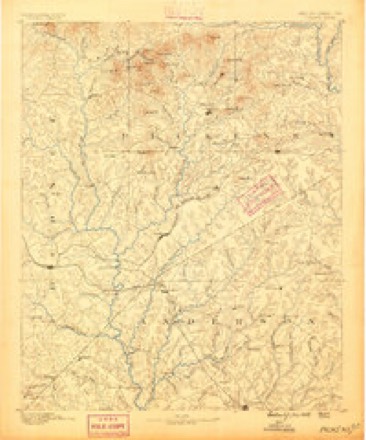
- 1888 USGS Pickens quadrangle1:125000
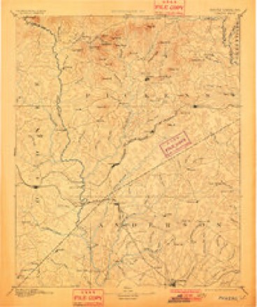
- 1894 USGS Pickens quadrangle1:125000, 6 printings
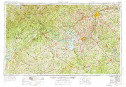
- 1954 USGS Greenville quadrangle1:250000, 3 printings
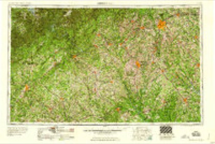
- 1958 USGS Greenville quadrangle1:250000
- 1961 USGS Six Mile quadrangle1:24000, 3 printings
- 1984 USGS Greenville quadrangle1:100000
- 1991 USGS Greenville quadrangle1:100000
Fires near this place
154 since 1992Regional context, not property-specific evidence. The federal wildfire occurrence database lists 154 fires within 5 miles of Cateechee between 1992 and 2020, burning about 519 acres in total. 3 started naturally. 6 were recorded as arson. Distance is straight-line from the map coordinates, so a fire counted here may appear on a neighbouring settlement's page as well.
| Reported cause | Fires |
|---|---|
| Missing data/not specified/undetermined | 68 |
| Debris and open burning | 49 |
| Misuse of fire by a minor | 9 |
| Equipment and vehicle use | 9 |
| Arson/incendiarism | 6 |
| Recreation and ceremony | 5 |
| Power generation/transmission/distribution | 3 |
| Natural | 3 |
| Smoking | 2 |
The most recent of them, most recent first, with the day each was reported and the service that recorded it.
| Date | Cause | Size | Reported by | Name on the report |
|---|---|---|---|---|
| 18 September 1999 | Missing data/not specified/undetermined | 1.5 acres | South Carolina Forestry Commission | not named |
| 17 September 2011 | Debris and open burning | 1.0 acres | South Carolina Forestry Commission | not named |
| 14 September 1998 | Equipment and vehicle use | under an acre | South Carolina Forestry Commission | not named |
| 13 September 2019 | Recreation and ceremony | 30 acres | South Carolina Forestry Commission | not named |
| 12 September 1992 | Missing data/not specified/undetermined | 5.0 acres | South Carolina Forestry Commission | not named |
| 10 September 1999 | Debris and open burning | 4.0 acres | South Carolina Forestry Commission | not named |
| 1 September 1999 | Missing data/not specified/undetermined | 1.0 acres | South Carolina Forestry Commission | not named |
| 8 August 2008 | Debris and open burning | 8.0 acres | South Carolina Forestry Commission | not named |
Settlements close enough to share some of these fires:
Mines and quarries near this place
7 within 5 milesRegional context, not property-specific evidence. The federal mineral resources record lists 7 workings within 5 miles of Cateechee: 4 prospects, 2 occurrences, 1 unknown. None of them still produces. What was taken out: Mica, Gold. Distance is straight-line from the map coordinates, so a quarry counted here may appear on a neighbouring settlement's page as well.
| Where | Site | Commodity | Status | Recorded |
|---|---|---|---|---|
| Calhoun Placer | Gold | Unknown | Placer | |
| Amos L Honeycutt Deposit | Mica | Occurrence | ||
| Head Prospect | Mica | Prospect | ||
| John Walker Prospect | Mica | Prospect | ||
| Josie Mcmadden Deposit | Mica | Occurrence | ||
| Murphrie Deposit | Mica | Prospect | ||
| Robinson Prospects | Mica | Prospect |
Storms near this place
8 since 2010Regional context, not property-specific evidence. The National Weather Service names Cateechee in 8 storm reports between 2010 and 2025: 4 thunderstorm wind, 2 flash flood, 1 tornado, 1 hail. The reports record 1 death. Each account below is quoted exactly as the forecast office filed it, from the NOAA Storm Events Database, and each date opens the federal record of that event.
| When | Event | Place named | Harm | What the report says |
|---|---|---|---|---|
| August 2013 | Flash Flood | Cateechee | 1 killed, $50,000 | A car was swept away by flood waters on Silver Creek Road. The car and it's occupant, a 23 year old male, were found separately downstream. The occupant was killed and the car destroyed. Two other cars were swept away at this location with 4 passengers rescued. |
| October 2017 | Tornado (EF2) | Cateechee | $250,000 | NWS storm survey found a non-continuous path of tornado damage that began at Maxey Dr near the center of Norris. Multiple trees were blown down, several outbuildings damaged or destroyed, and a home received moderate roof damage at this location. The first of several short breaks in the damage path occurred there, but the path was picked up again in an area along Robinson Bridge Rd, just north of Jule Merck Rd, where the most significant damage was observed. The roof of a brick home was completely removed and part of an exterior wall collapsed. Two mobile homes were also completely destroyed in this area. The path was lost again downstream of this location, in a mostly inaccessible area roughly paralleling Twelvemile Creek, but additional tree damage and minor damage to a mobile home was found along Liberty Highway between Nix Rd and Sweetbriar Rd. Yet another break in the path was observed to the north/northeast of this location, but additional damage to trees and outbuildings was observed along South Belle Shoals Rd and Allgood Bridge Rd. A final area of damage was found just west of downtown Pickens, with roofing material removed from a home on Bradley Dr and multiple trees down along Shady Grove Rd. |
| August 2013 | Flash Flood | Cateechee | $100,000 | Todd Creek Road was washed out near the Todd Creek Bridge. The road was damaged as water washed out a culvert under the road. Todd Creek also washed out Sunrise Road and flooded Browning Road in this same area. til 1230 am EDT. |
| May 2025 | Thunderstorm Wind | Cateechee | - | Utility company reported trees blown down on power lines with outages. |
| May 2025 | Hail | Cateechee | - | Public reported nickel size hail. |
| June 2025 | Thunderstorm Wind | Cateechee | - | Public reported numerous trees blown down throughout Pickens County, with some trees down on power lines. |
| September 2025 | Thunderstorm Wind | Cateechee | - | Public reported (via Social Media) trees blown down on Six Mile Highway north of Central. |
| August 2010 | Thunderstorm Wind | Cateechee | - | A few trees and power lines were blown down west of Liberty, including along Golden Creek Rd. |
Nearest settlements
The eight closest, with where each one stands in the county. Distances are straight-line, computed from the Geographic Names Information System coordinates.
| Map | Place | Distance | Sheets |
|---|---|---|---|
| Norris | 1.3 miles | 16 | |
| Kelcar Acres | 2.4 miles | 19 | |
| Brookwood | 2.7 miles | 19 | |
| Central | 3.2 miles | 19 | |
| Pearidge | 3.4 miles | 16 | |
| Traber | 3.5 miles | 17 | |
| Six Mile | 3.5 miles | 16 | |
| Terrapin Crossroads | 4.1 miles | 16 |
Provenance
This settlement is recorded in the Geographic Names Information System as feature 1221397. The sheet list is computed by point-in-boundary test against the United States Geological Survey's historical topographic inventory. Both are works of the United States government and carry no copyright under 17 U.S.C. 105.
Wildfire. Short, Karen C. 2022. Spatial wildfire occurrence data for the United States, 1992-2020 [FPA_FOD_20221014]. 6th Edition. Fort Collins, CO: Forest Service Research Data Archive. https://doi.org/10.2737/RDS-2013-0009.6 Collected with United States Government funding and usable without additional permissions or fees.
Mines and quarries. USGS Mineral Resources Data System (MRDS) https://mrdata.usgs.gov/mrds/ A work of the United States government, no copyright under 17 U.S.C. 105.
Storms. NOAA National Centers for Environmental Information, Storm Events Database https://www.ncei.noaa.gov/stormevents/ A work of the United States government, no copyright under 17 U.S.C. 105. Narratives are quoted verbatim from the National Weather Service report and are not edited or summarised.