 Block
Knightsville, South Carolina
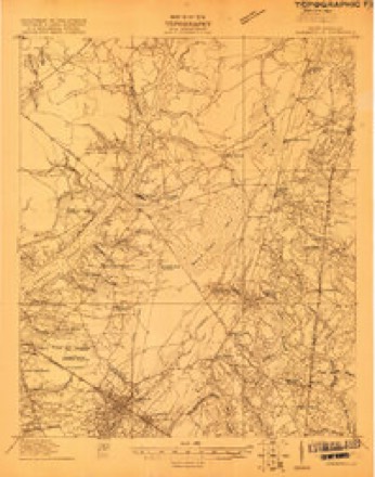
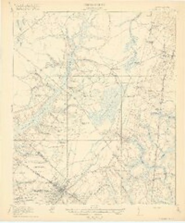
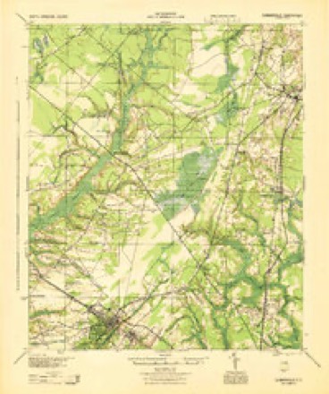
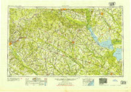
19 topographic sheets cover this place, the earliest surveyed in 1919 and the latest in 1990. It stands in the Summerville census division. It lies in ZIP code area 29483. It stands on Negro Branch. The Survey maps it on the Summerville quadrangle.
On record in Knightsville
Buildings and businesses the archive holds for this place. Each opens its own page, with the source record it came from.
Surveyed buildings and structures 2 records
- Middleton Place Culvert, 4300 Ashley River Road, Knightsvillefederal building survey, 6 photographs
- Middleton Place, 4300 Ashley River Road, Knightsvillefederal building survey, 1 photograph
Topographic sheets covering this place
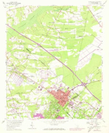
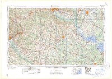
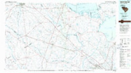
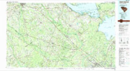
11 surveys from 19 printed sheetsMatched by testing this settlement's coordinate against the published boundary of every sheet in the United States Geological Survey's historical collection. Each opens the scanned sheet at the Survey.
- 1919 USGS Summerville quadrangle1:48000
- 1920 USGS Summerville quadrangle1:62500, 3 printings
- 1944 USGS Summerville quadrangle1:62500
- 1954 USGS Augusta quadrangle1:250000
- 1957 USGS Augusta quadrangle1:250000, 3 printings
- 1958 USGS Augusta quadrangle1:250000
- 1958 USGS Summerville quadrangle1:24000, 4 printings
- 1961 USGS Augusta quadrangle1:250000, 2 printings
- 1962 USGS Augusta quadrangle1:250000
- 1985 USGS Saint George quadrangle1:100000
- 1990 USGS Saint George quadrangle1:100000
Photographs
1 photograph,Taken for the Office of War Information and the Farm Security Administration, who photographed the country between 1935 and 1944. Works of United States government photographers, with no known restriction on use. Each opens its catalogue record.

Photographer not recorded. Library of Congress
Fires near this place
444 since 1992Regional context, not property-specific evidence. The federal wildfire occurrence database lists 444 fires within 5 miles of Knightsville between 1992 and 2019, burning about 2,180 acres in total. None started naturally. 78 were recorded as arson. Distance is straight-line from the map coordinates, so a fire counted here may appear on a neighbouring settlement's page as well.
| Reported cause | Fires |
|---|---|
| Missing data/not specified/undetermined | 156 |
| Debris and open burning | 148 |
| Arson/incendiarism | 78 |
| Misuse of fire by a minor | 49 |
| Equipment and vehicle use | 6 |
| Smoking | 3 |
| Power generation/transmission/distribution | 2 |
| Recreation and ceremony | 1 |
| Railroad operations and maintenance | 1 |
The most recent of them, most recent first, with the day each was reported and the service that recorded it.
| Date | Cause | Size | Reported by | Name on the report |
|---|---|---|---|---|
| 5 September 1999 | Debris and open burning | 1.5 acres | South Carolina Forestry Commission | not named |
| 3 September 2014 | Misuse of fire by a minor | 2.0 acres | South Carolina Forestry Commission | not named |
| 3 September 1999 | Arson/incendiarism | 1.0 acres | South Carolina Forestry Commission | not named |
| 26 September 2017 | Debris and open burning | 4.1 acres | South Carolina Forestry Commission | not named |
| 26 September 1996 | Missing data/not specified/undetermined | under an acre | South Carolina Forestry Commission | not named |
| 2 September 2001 | Arson/incendiarism | 6.0 acres | South Carolina Forestry Commission | not named |
| 18 September 2001 | Misuse of fire by a minor | under an acre | South Carolina Forestry Commission | not named |
| 13 September 2009 | Misuse of fire by a minor | under an acre | South Carolina Forestry Commission | not named |
Settlements close enough to share some of these fires:
Mines and quarries near this place
10 of 19 shownRegional context, not property-specific evidence. The federal mineral resources record lists 19 workings within 5 miles of Knightsville: 8 past producers, 7 unknowns, 4 producers. 4 still produce. What was taken out: Clay, Sand and Gravel, Construction. Distance is straight-line from the map coordinates, so a quarry counted here may appear on a neighbouring settlement's page as well.
| Where | Site | Commodity | Status | Recorded |
|---|---|---|---|---|
| Becker Sand and Gravel Co., Div. Of | Sand and Gravel, Construction | Past Producer | ||
| Evergreen Pit | Sand and Gravel, Construction | Producer | Sedimentary | |
| Murray Mine | Sand and Gravel, Construction | Producer | ||
| Murray Pit | Sand and Gravel, Construction | Producer | Sedimentary | |
| Summerville Plant | Sand and Gravel, Construction | Past Producer | Sedimentary | |
| Unnamed Sand Pit | Sand and Gravel, Construction | Unknown | Sedimentary | |
| Dorchester Brick Clay Pit | Clay | Past Producer | Sedimentary | |
| Dorchester Mine East | Clay | Unknown | Sedimentary | |
| Dorchester Mine East | Clay | Past Producer | ||
| Dorchester Mine West | Clay | Unknown | Sedimentary |
Storms near this place
40 since 1996Regional context, not property-specific evidence. The National Weather Service names Knightsville in 40 storm reports between 1996 and 2025: 22 thunderstorm wind, 14 hail, 4 flash flood. No death or injury is recorded in these reports. Each account below is quoted exactly as the forecast office filed it, from the NOAA Storm Events Database, and each date opens the federal record of that event.
| When | Event | Place named | Harm | What the report says |
|---|---|---|---|---|
| June 2010 | Thunderstorm Wind | Knightsville | $3,000 | Law enforcement reported 2 trees down near the Central Avenue area. One tree was down on Old Parsonage Road. |
| August 2008 | Thunderstorm Wind | Knightsville | $2,500 | A trained weather spotter reported several trees and power lines down along Butternut Road in Knightsville, South Carolina. |
| June 2023 | Thunderstorm Wind | Knightsville | $2,250 | Dorchester County dispatch reported a tree down on power lines near the intersection of Droze Road and Alicia Drive. |
| August 2006 | Thunderstorm Wind | Knightsville | $2,000 | Large tree limb fell on power line. |
| July 2024 | Thunderstorm Wind | Knightsville | $1,000 | South Carolina Highway Patrol reported a tree down on Stephanie Circle. |
| March 2013 | Thunderstorm Wind | Knightsville | $1,000 | A tree was reported down at the 1100 block of Orangeburg Road. |
| May 2012 | Hail | Knightsville | $1,000 | The public reported quarter size hail and two trees blown down near the intersection of Orangeburg Road and West Butternut Road. |
| June 2010 | Thunderstorm Wind | Knightsville | $1,000 | The public reported one tree down and blocking traffic on Central Avenue. |
| July 2025 | Thunderstorm Wind | Knightsville | - | Dorchester County Emergency Management reported a tree down at the intersection of Orangeburg Road and Old Parsonage Road. |
| July 2025 | Thunderstorm Wind | Knightsville | - | Dorchester County Emergency Management reported a tree down at the traffic circle along Orangeburg Road and W Butternut Road. |
| August 2025 | Flash Flood | Knightsville | - | Dorchester County Emergency Management reported the intersection of Congressional Boulevard and Butterfield Road flooded and not passable. |
| August 2025 | Flash Flood | Knightsville | - | Dorchester County Emergency Management reported the 300 Block of Woodward Boulevard flooded and impassable. |
| June 2022 | Thunderstorm Wind | Knightsville | - | The South Carolina Highway Patrol reported a tree down near the intersection of Summerset Lane and Heavens Way. |
| April 2019 | Thunderstorm Wind | Knightsville | - | Law enforcement reported a tree down on Clubhouse Road near the intersection with Highway 17A. |
| April 2019 | Thunderstorm Wind | Knightsville | - | A NWS employee reported a tree uprooted at Summerville Cemetery. |
| July 2019 | Hail | Knightsville | - | A report of dime sized hail near Knightsville was received via social media. |
| July 2019 | Hail | Knightsville | - | Quarter sized hail was reported near the intersection of Shinnecock Hills Road and Wentworth Hall at Pine Forest golf club. |
| July 2019 | Hail | Knightsville | - | A picture received via social media shows an irregularly shaped hail stone with a maximum diameter of 2 inches. |
| April 2018 | Thunderstorm Wind | Knightsville | - | The Dorchester County 911 Call Center reported a tree down on Orangeburg Road near the Pinewood Preparatory School. |
| June 2018 | Thunderstorm Wind | Knightsville | - | Law enforcement reported a tree down near the intersection of Butternut Road and Orangeburg Road. |
| July 2016 | Hail | Knightsville | - | A NWS employee reported nickel sized hail on Highway 17A. |
| July 2014 | Thunderstorm Wind | Knightsville | - | Large tree limbs reported broken off a pear tree. |
| July 2014 | Thunderstorm Wind | Knightsville | - | One large tree reported down on Twin Lakes Drive. |
| July 2014 | Thunderstorm Wind | Knightsville | - | The Dorchester County emergency manager reports two to four homes with minor shingle and siding damage at the 200 block of Scotch Range Road. |
| August 2013 | Flash Flood | Knightsville | - | The public reports ten to twelve inches of water on portions of Woodward Boulevard. The water is at the tops of wheels on vehicles. |
| April 2012 | Thunderstorm Wind | Knightsville | - | SC Highway Patrol reported a tree down at Tupperway Drive and Boone Hill Road. |
| April 2012 | Thunderstorm Wind | Knightsville | - | Charleston Media reported a tree down in Knightsville. |
| May 2009 | Hail | Knightsville | - | The public reported nickel size hail in Knightsville, South Carolina. |
| May 2008 | Hail | Knightsville | - | A trained weather spotter reported golf ball size hail in Knightsville, South Carolina. |
| May 2008 | Hail | Knightsville | - | A trained weather spotter reported nickel size hail 2 miles west of Summerville, South Carolina. |
| October 2008 | Flash Flood | Knightsville | - | The public reported that water was up to 3 feet deep on Butternut and Old Orangeburg Road within the Sweetbriar subdivision in Knightsville, South Carolina. |
| May 2008 | Hail | Knightsville | - | A trained weather spotter reported that penny size hail fell for 10 minutes. |
| August 2007 | Thunderstorm Wind | Knightsville | - | The public reported 60 mph wind gusts on Regent Street in Knightsville. |
| August 2000 | Thunderstorm Wind | Knightsville | - | Power lines down. |
| April 2006 | Hail | Knightsville | - | no account filed |
| June 2006 | Hail | Knightsville | - | no account filed |
| August 2006 | Hail | Knightsville | - | no account filed |
| May 1998 | Hail | Knightsville | - | no account filed |
| November 1997 | Thunderstorm Wind | Knightsville | - | no account filed |
| March 1996 | Hail | Knightsville | - | no account filed |
Nearest settlements
The eight closest, with where each one stands in the county. Distances are straight-line, computed from the Geographic Names Information System coordinates.
| Map | Place | Distance | Sheets |
|---|---|---|---|
| Cotton Hill | 0.3 miles | 19 | |
| Sweetbriar | 0.7 miles | 19 | |
| Pecan Grove | 0.9 miles | 19 | |
| Corey Wood | 1.1 miles | 19 | |
| Trotters Ridge | 1.1 miles | 19 | |
| Corey Point | 1.1 miles | 19 | |
| Orchard Hill | 1.3 miles | 19 | |
| Pine Forest Estates | 1.3 miles | 19 |
Provenance
This settlement is recorded in the Geographic Names Information System as feature 1223761. The sheet list is computed by point-in-boundary test against the United States Geological Survey's historical topographic inventory. Both are works of the United States government and carry no copyright under 17 U.S.C. 105.
Wildfire. Short, Karen C. 2022. Spatial wildfire occurrence data for the United States, 1992-2020 [FPA_FOD_20221014]. 6th Edition. Fort Collins, CO: Forest Service Research Data Archive. https://doi.org/10.2737/RDS-2013-0009.6 Collected with United States Government funding and usable without additional permissions or fees.
Mines and quarries. USGS Mineral Resources Data System (MRDS) https://mrdata.usgs.gov/mrds/ A work of the United States government, no copyright under 17 U.S.C. 105.
Storms. NOAA National Centers for Environmental Information, Storm Events Database https://www.ncei.noaa.gov/stormevents/ A work of the United States government, no copyright under 17 U.S.C. 105. Narratives are quoted verbatim from the National Weather Service report and are not edited or summarised.