 Block
Myrtle Beach, South Carolina
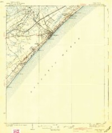
14 topographic sheets cover this place, the earliest surveyed in 1937 and the latest in 1994. It stands in the Myrtle Beach census division. It lies in ZIP code area 29577. The Survey maps it on the Myrtle Beach quadrangle. 35,682 people lived here at the 2020 count. It stands 26 feet above sea level.
Research this city
On record in Myrtle Beach
Buildings and businesses the archive holds for this place. Each opens its own page, with the source record it came from.
On the National Register 10 records
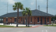 Myrtle Beach Atlantic Coast Line Railroad Stationlisted 2002
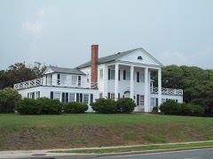 Myrtle Heights-Oak Park Historic Districtlisted 1998
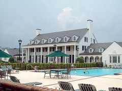 Ocean Forest Country Clublisted 1996
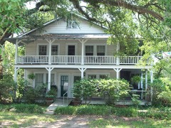 Pleasant Innlisted 1996
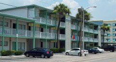 Rainbow Courtlisted 1996
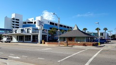 Waikiki Village Motellisted 2017
- Myrtle Beach Downtown Historic Districtlisted 2019
- Noel Court and Apartmentslisted 2021
- Sun Fun Motellisted 2020
- Tawana Motellisted 2019
Population over time
2 figuresMyrtle Beach grew from 27,109 to 35,682 between 2010 and 2020. These are the recorded population figures Wikidata holds for this place, reached through the Geographic Names Information System number this page is keyed on rather than by name, so they belong to this place and not to another of the same name. Most are census counts, but not all are: an early figure may be a founding or settlement estimate, and an estimate published within five years of a census is left out. The change column is computed, and is left blank where more than 20 years separate a figure from the one before it, because a gap that long is not a change between two counts.
| Year | People | Change |
|---|---|---|
| 2010 | 27,109 | |
| 2020 | 35,682 | +8,573 (+32%) |
Topographic sheets covering this place
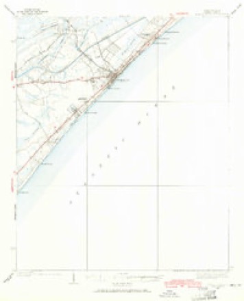
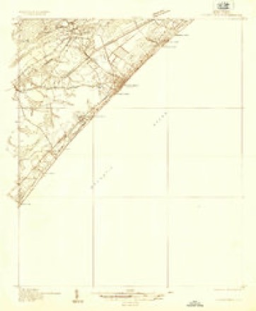
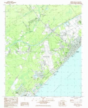
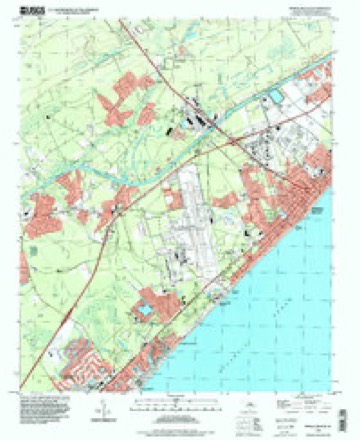
10 surveys from 14 printed sheetsMatched by testing this settlement's coordinate against the published boundary of every sheet in the United States Geological Survey's historical collection. Each opens the scanned sheet at the Survey.
- 1937 USGS Myrtle Beach quadrangle1:62500, 2 printings
- 1937 USGS Myrtle Beach quadrangle1:48000
- 1940 USGS Myrtle Beach quadrangle1:62500, 3 printings
- 1949 USGS Georgetown quadrangle1:250000
- 1967 USGS Georgetown quadrangle1:250000
- 1974 USGS Georgetown quadrangle1:250000, 2 printings
- 1984 USGS Myrtle Beach quadrangle1:24000
- 1986 USGS Myrtle Beach quadrangle1:100000
- 1990 USGS Myrtle Beach quadrangle1:100000
- 1994 USGS Myrtle Beach quadrangle1:24000
Photographs
8 of 29 photographs shown, 1943Taken for the Office of War Information and the Farm Security Administration, who photographed the country between 1935 and 1944. Works of United States government photographers, with no known restriction on use. Each opens its catalogue record.

Delano, Jack, 1943. Library of Congress
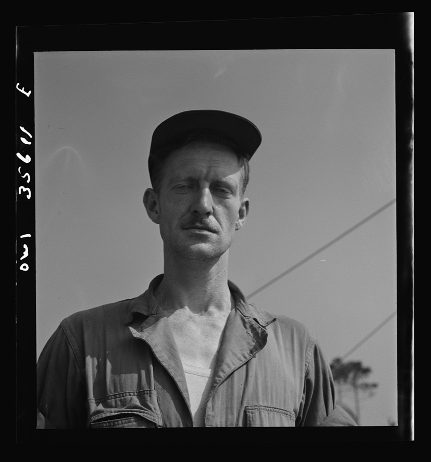
Delano, Jack, 1943. Library of Congress
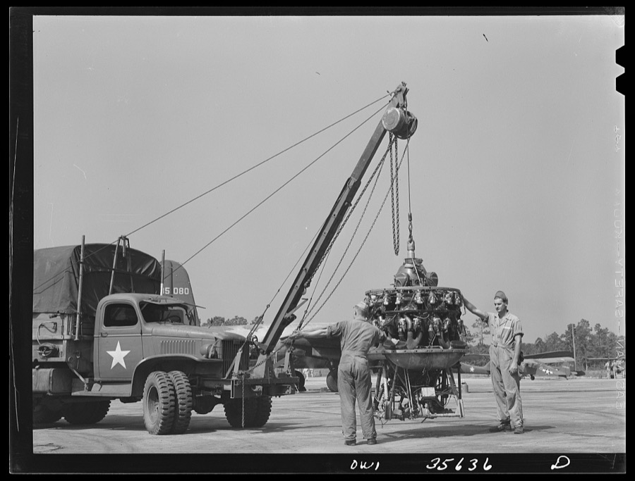
Delano, Jack, 1943. Library of Congress
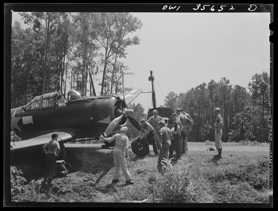
Delano, Jack, 1943. Library of Congress

Delano, Jack, 1943. Library of Congress

Delano, Jack, 1943. Library of Congress

Delano, Jack, 1943. Library of Congress

Delano, Jack, 1943. Library of Congress
Every photograph of Horry County
Fires near this place
93 since 1992Regional context, not property-specific evidence. The federal wildfire occurrence database lists 93 fires within 5 miles of Myrtle Beach between 1992 and 2019, burning about 490 acres in total. 3 started naturally. 23 were recorded as arson. Distance is straight-line from the map coordinates, so a fire counted here may appear on a neighbouring settlement's page as well.
| Reported cause | Fires |
|---|---|
| Missing data/not specified/undetermined | 37 |
| Arson/incendiarism | 23 |
| Debris and open burning | 13 |
| Misuse of fire by a minor | 10 |
| Recreation and ceremony | 3 |
| Natural | 3 |
| Equipment and vehicle use | 2 |
| Power generation/transmission/distribution | 1 |
| Fireworks | 1 |
The most recent of them, most recent first, with the day each was reported and the service that recorded it.
| Date | Cause | Size | Reported by | Name on the report |
|---|---|---|---|---|
| 8 September 2010 | Arson/incendiarism | under an acre | South Carolina Forestry Commission | not named |
| 27 September 2007 | Arson/incendiarism | 2.8 acres | South Carolina Forestry Commission | not named |
| 3 August 2001 | Debris and open burning | 1.5 acres | South Carolina Forestry Commission | not named |
| 21 August 2005 | Missing data/not specified/undetermined | under an acre | South Carolina Forestry Commission | not named |
| 20 August 2006 | Arson/incendiarism | 6.0 acres | South Carolina Forestry Commission | not named |
| 8 July 2012 | Missing data/not specified/undetermined | 1.5 acres | South Carolina Forestry Commission | not named |
| 8 July 1993 | Missing data/not specified/undetermined | 1.5 acres | South Carolina Forestry Commission | not named |
| 6 July 1995 | Missing data/not specified/undetermined | 1.3 acres | South Carolina Forestry Commission | not named |
Settlements close enough to share some of these fires:
Mines and quarries near this place
3 within 5 milesRegional context, not property-specific evidence. The federal mineral resources record lists 3 workings within 5 miles of Myrtle Beach: 1 producer, 1 unknown, 1 past producer. 1 still produces. What was taken out: Clay, Sand and Gravel, Construction, Clay, Sand and Gravel, Construction. Distance is straight-line from the map coordinates, so a quarry counted here may appear on a neighbouring settlement's page as well.
| Where | Site | Commodity | Status | Recorded |
|---|---|---|---|---|
| Myrtle Beach Pit | Sand and Gravel, Construction, Clay | Unknown | Sedimentary | |
| Myrtle Beach Qyarry | Sand and Gravel, Construction, Clay | Past Producer | ||
| Waccamaw Mine | Clay | Producer |
Storms near this place
60 of 97 shownRegional context, not property-specific evidence. The National Weather Service names Myrtle Beach in 97 storm reports between 1994 and 2025: 27 hail, 26 thunderstorm wind, 18 flash flood, 8 lightning. The reports record 6 deaths and 44 injuries. Each account below is quoted exactly as the forecast office filed it, from the NOAA Storm Events Database, and each date opens the federal record of that event.
| When | Event | Place named | Harm | What the report says |
|---|---|---|---|---|
| June 2005 | Rip Current | Myrtle Beach | 2 killed | Strong rip currents took the lives of two people at Myrtle Beach State Park. |
| July 2005 | Rip Current | Myrtle Beach | 2 killed | Two people drowned from rip currents at Myrtle Beach. One drowned near 11th Ave. , and the other near 17th Ave. |
| June 2004 | Rip Current | Myrtle Beach | 2 killed | A long shore current evolved into a rip current and was responsible for two deaths. The first occurred around 615 pm near 24th Avenue North, and the other occurred later that evening (8 pm) around 18th Avenue North. |
| July 2001 | Tornado (F2) | Myrtle Beach | 39 hurt, $8,000,000 | As a weak cold front moved south into an afternoon sea breeze boundary, slow-moving thunderstorms developed along the Horry county coast. An F0 tornado briefly touched down at 9th Ave N near the Myrtle Beach Pavilion, and soon after a waterspout formed just off the beach near 3rd Ave N. It slightly damaged the 2nd Ave N pier and then moved over the beach as it developed more strongly, causing F2 damage - overturned buses and extensive damage to vehicles and hotels along the beach to about 4nd Ave S. Moving off the beach again, the waterspout continued south about 100 yards from the shore until it came ashore between 28th Ave S and Springmaid Pier...causing a 66 knot gust over water at the Springmaid Pier anemometer. As it moved through the Seagate RV park, it did F1 damage - destroyed 10 RVs and damaged 40 more. Weakening further, the tornado crossed US Hwy Business 17 onto Myrtle Beach International Airport, doing F0 damage to trees and structures. |
| September 1997 | Thunderstorm Wind | Myrtle Beach | 2 hurt, $500,000 | A rain loaded thunderstorm microburst hit the beach berm and hotel area along a 4 block strip (from 26th Ave - 30th Ave). Two people were injured (cuts from flying glass and bruises). |
| March 1999 | Thunderstorm Wind | Myrtle Beach | 2 hurt, $175,000 | Wind from a severe thunderstorm blew out windows at Wyndham Myrtle Beach Resort and overturned 4 trailers in a Briarcliffe RV park, injuring two people. At a car lot, 29 cars had windows blown out. Hail was marble size. Power outages extended from the Briarcliffe area to North Myrtle Beach. |
| July 2012 | Lightning | Myrtle Beach | 1 hurt | A man was in an open garage on 4091 Coyledom Ct in Myrtle Beach. He was on an aluminum ladder and was struck in the hand by lightning. He was treated and released at a local hospital. |
| October 2016 | Flash Flood | Myrtle Beach | $1,000,000 | Numerous roads in Myrtle Beach and throughout Horry County were barricaded and closed through the night. Many structures were severely impacted by the flooding. The report was relayed by WMBF News. |
| July 2001 | Tornado (F1) | North Myrtle Beach | $800,000 | A F1 tornado crossed US Hwy 17 just south of SC Hwy 22 (Conway Bypass) doing damage to signs and power poles near the Chesapeake House Restaurant. |
| September 1994 | Thunderstorm Wind | Myrtle Beach | $500,000 | Myrtle Beach trees and limbs down near Waccamaw Pottery on U.S. 501. Several large signs (24'x 26') blown down, some shingles removed, and a mobile home heavily damaged. Damage estimated $75,000. Five hundred power outages reported in Horry County. |
| October 2005 | Heavy Rain | Myrtle Beach | $500,000 | no account filed |
| June 2001 | Lightning | Myrtle Beach | $200,000 | Lightning ignited a fire at an apartment complex. Residents in the building's 14 apartments were forced to relocate after an Horry County code enforcer deemed the building uninhabitable. |
| July 2003 | Thunderstorm Wind | North Myrtle Beach | $100,000 | A National Weather Service storm survey determined straight line winds blew numerous trees and power lines down northeast of SC Hwy 9 along Little River Neck Road. There was some structural damage to several homes due to fallen or snapped trees. One person was trapped in their home by a large fallen tree. No injuries were reported. The winds were estimated at 80 mph. |
| September 2000 | Flash Flood | North Myrtle Beach | $75,000 | Extensive street flooding occurred in downtown North Myrtle Beach. Several local businesses were affected. |
| July 2002 | Lightning | Myrtle Beach | $30,000 | Lightning cause a fire at the Chuck Wagon Restaurant on Kings Highway. |
| July 2006 | Lightning | Myrtle Beach | $25,000 | A barn was heavily damaged due to fire. |
| June 1999 | Flash Flood | Myrtle Beach | $25,000 | A slow moving thunderstorm dropped about 4 inches of rain on Myrtle Beach during the afternoon. Drainage pipes were unable to accomodate the runoff at the corner of Ocean Blvd and Ave 55 N, where ponding reached a depth of 5 feet, necessitating the evacuation of 140 people. Between 30 and 40 rain-related car accidents occurred in the Myrtle Beach area. |
| July 2010 | Thunderstorm Wind | Myrtle Beach | $20,000 | Electric poles and wires were reported down, blocking traffic on 2nd Avenue near Flagg Street. The time was estimated based on radar data. |
| July 2008 | Lightning | Myrtle Beach | $20,000 | Lightning started fires in two homes in Carolina Forest. |
| June 2001 | Lightning | Myrtle Beach | $20,000 | Lightning struck a home on North Ocean Blvd. , causing moderate fire and water damage, officials said. |
| July 2010 | Thunderstorm Wind | Myrtle Beach | $15,000 | Power lines were reported down at the intersection of 21st Avenue and Seaboard Street. The time was estimated based on radar data. |
| July 2007 | Thunderstorm Wind | Myrtle Beach | $15,000 | Survey concluded straight line winds of around 80 mph caused spotty damage along a path 500 yards long ad 60 yards wide in the Emerald Lakes subdivision, just off of US Highway 501. Tops of softwood trees were snapped. Damage to several homes included roofing, windows and siding. |
| April 2001 | Thunderstorm Wind | Myrtle Beach | $15,000 | The railing of a canopy was blown off at the cinema in Colonial Mall. |
| October 2015 | Flood | North Myrtle Beach | $10,000 | The road was washed out on Sandridge Rd. |
| October 2015 | Flash Flood | Myrtle Beach | $10,000 | Roadway was reported impassable at the post office on 5th Avenue N. A car was stalled in flood waters on roadway. |
| September 2000 | Flash Flood | Myrtle Beach | $10,000 | Emergency management reported street flooding on 21st street with one home sustaining flood damage. |
| January 1995 | Thunderstorm Wind | North Myrtle Beach | $10,000 | Trees and power lines down in North Myrtle Beach. |
| October 2025 | Flash Flood | Myrtle Beach | $5,000 | Kings Highway South at 24th Ave North shut down due to flooding with at least one car stalled. |
| July 2022 | Flash Flood | North Myrtle Beach | $5,000 | Water depth was up to the bottom of cars on Anne St. |
| July 2022 | Flash Flood | Myrtle Beach | $5,000 | Significant flooding was reported on 24th Ave N. in Myrtle Beach with water above vehicle wheel wells. Police closed 24th Ave N. due to the flooding. |
| July 2006 | Lightning | Myrtle Beach | $5,000 | Lightning struck an ambulance, disabiling it. No injuries were reported. |
| July 2003 | Thunderstorm Wind | North Myrtle Beach | $5,000 | Several trees were uprooted and there was minor damage to structures in an RV park, including a small shed that was shifted off its foundation. |
| May 1995 | Thunderstorm Wind | South Myrtle Beach | $5,000 | Telephone pole down.,,,,,, |
| May 1995 | Thunderstorm Wind | South Myrtle Beach | $5,000 | no account filed |
| March 1998 | Thunderstorm Wind | Myrtle Beach | $4,000 | ROOFS DAMAGED AND TREES DOWNED ON BUSH DRIVE, NEAR WACCAMAW POTTERY. |
| October 2025 | Flash Flood | Myrtle Beach | $3,000 | Road closures reported at 24th Ave N closed and Withers Drive due to flooding. |
| March 2018 | Hail | Myrtle Beach | $2,000 | Small hail mixed with several stones as large as quarters reportedly covered the ground in the Target parking lot on Seaboard St. |
| May 2014 | Hail | Myrtle Beach | $2,000 | The public measured 1.75 inch hail at Broadway at the Beach. |
| May 2014 | Hail | Myrtle Beach | $2,000 | Hail to the size of golf balls was reported at Broadway at the Beach. |
| May 2014 | Hail | Myrtle Beach | $2,000 | Hail to the size of golf balls was reported on 33rd Avenue N. |
| May 2000 | Hail | Myrtle Beach | $2,000 | Horry Emergency Manager reported dime-size hail in Myrtle Beach. Storm moved to Socastee, blowing off shingles on a roof and downing several trees that were 6 to 8 inches in diameter. |
| July 2014 | Thunderstorm Wind | Myrtle Beach | $1,500 | A mature maple tree was uprooted at Highway 17 Bypass and 38th Avenue N. The time was estimated based on radar data. |
| July 2012 | Hail | Myrtle Beach | $1,250 | Hail to the size of quarters was reported. |
| August 2024 | Flash Flood | North Myrtle Beach | $1,000 | Street flooding reported along 13th Avenue South in North Myrtle Beach. |
| May 2019 | Thunderstorm Wind | Myrtle Beach | $1,000 | A large tree was blown down on the southbound lanes of the Hwy 17 bypass at 38th Ave in Myrtle Beach. |
| May 2011 | Hail | North Myrtle Beach | $1,000 | Hail to the size of quarters was reported near the intersection of Highway 31 and Highway 90. |
| April 2006 | Thunderstorm Wind | Myrtle Beach | $1,000 | Power lines down on 13th and 14th Street South. |
| July 2018 | Tornado (EF0) | Myrtle Beach | $500 | A waterspout moved onto the beach near the 900 block of North Ocean Blvd. The 15 yard wide funnel proceeded toward the boardwalk for about 100 yards before dissipating and caused no apparent damage to structures. However, beach chairs and umbrellas were tossed into the air. The tornado was rated an EF-0 by a NWS Storm Survey with wind gusts estimated at no more than 65 mph. |
| May 2014 | Hail | Myrtle Beach | $500 | Quarter size hail was reported at WMBF Studios. |
| July 2014 | Hail | Myrtle Beach | $250 | Hail to the size of quarters was reported on Lark Hill Drive. |
| May 2014 | Hail | Myrtle Beach | $200 | Three-quarter inch hail was measured at WMBF Studios. |
| March 2022 | Thunderstorm Wind | Myrtle Beach | - | A thunderstorm wind gust of 60 mph was estimated by a meteorologist at WMBF. |
| May 2021 | Hail | Myrtle Beach | - | Multiple reports of quarter size hail at Pelicans Ballpark, 48th Ave, and Myrtlewood. |
| August 2021 | Flash Flood | Myrtle Beach | - | Flash flooding was observed at the intersection of Kings Hwy at 10th Street. The road was impassable at this location due to deep water. |
| February 2020 | Thunderstorm Wind | Myrtle Beach | - | Large palm trees were blown down near Fire Station 2. |
| February 2020 | Thunderstorm Wind | Myrtle Beach | - | There was minor structural damage at Robert Grissom Pky and 38th and 29th Avenue N. |
| May 2019 | Hail | Myrtle Beach | - | Quarter size hail was reported along a Hwy 501. |
| May 2019 | Hail | Myrtle Beach | - | Quarter size hail was reported along Hwy 501. |
| September 2018 | Tornado (EF0) | Myrtle Beach | - | The tornado, associated with a line of storms trailing Tropical |Cyclone Florence, was shown live on air by a local television |station as viewed from their skycam. It caused minor damage to |the tops of pine trees, breaking out numerous small limbs and a |few large ones before it crossed Highway 17 moving west. |Additional minor tree damage occurred on the west side of Highway |17 before the fast moving tornado lifted. |
| September 2018 | Tornado (EF0) | Myrtle Beach | - | Video captured a waterspout that came ashore as a tornado near 21st Ave in Myrtle Beach. |
Nearest settlements
The eight closest, with where each one stands in the county. Distances are straight-line, computed from the Geographic Names Information System coordinates.
| Map | Place | Distance | Sheets |
|---|---|---|---|
| Yaupon Circle | 0.6 miles | 14 | |
| Dogwood | 0.7 miles | 14 | |
| Scott Acres | 0.9 miles | 14 | |
| Withers Heights | 1.0 miles | 14 | |
| Owens | 1.0 miles | 14 | |
| East Chester | 1.2 miles | 14 | |
| Ramsey Acres | 1.3 miles | 14 | |
| Myrtle Ridge | 1.5 miles | 14 |
Elsewhere
Matched on this settlement's Geographic Names Information System number rather than its name, so it cannot be a different place of the same name in another state.
| Wikipedia article on Myrtle Beach | An encyclopaedic summary. Its text is share-alike, so it is linked here rather than copied. |
| Wikidata item Q839805 | The structured record the population and elevation above come from. Public domain (CC0). |
Provenance
This settlement is recorded in the Geographic Names Information System as feature 1249770. The sheet list is computed by point-in-boundary test against the United States Geological Survey's historical topographic inventory. Both are works of the United States government and carry no copyright under 17 U.S.C. 105.
Wildfire. Short, Karen C. 2022. Spatial wildfire occurrence data for the United States, 1992-2020 [FPA_FOD_20221014]. 6th Edition. Fort Collins, CO: Forest Service Research Data Archive. https://doi.org/10.2737/RDS-2013-0009.6 Collected with United States Government funding and usable without additional permissions or fees.
Mines and quarries. USGS Mineral Resources Data System (MRDS) https://mrdata.usgs.gov/mrds/ A work of the United States government, no copyright under 17 U.S.C. 105.
Storms. NOAA National Centers for Environmental Information, Storm Events Database https://www.ncei.noaa.gov/stormevents/ A work of the United States government, no copyright under 17 U.S.C. 105. Narratives are quoted verbatim from the National Weather Service report and are not edited or summarised.