 Block
Orangeburg, South Carolina
18 topographic sheets cover this place, the earliest surveyed in 1920 and the latest in 1990. It stands in the Orangeburg census division. It lies in ZIP code area 29115. The Survey maps it on the Orangeburg South quadrangle. 13,240 people lived here at the 2020 count. It stands 243 feet above sea level.
Research this city
On record in Orangeburg
Buildings and businesses the archive holds for this place. Each opens its own page, with the source record it came from.
On the National Register 12 of 28 shown
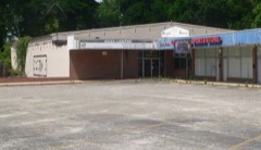 All Star Bowling Lanelisted 1996
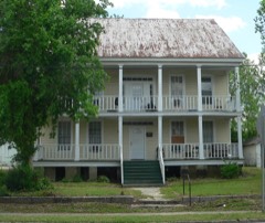 F. H. W. Briggman Houselisted 1985
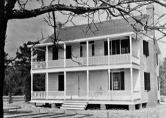 Donald Bruce Houselisted 1978
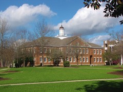 Dining Halllisted 1985
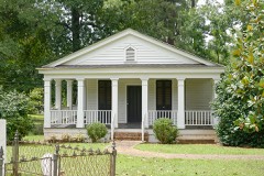 Dixie Library Buildinglisted 1985
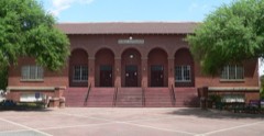 Dukes Gymnasiumlisted 1985
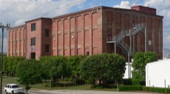 Enterprise Cotton Mills Buildinglisted 1985
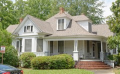 Maj. John Hammond Fordham Houselisted 1985
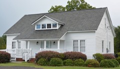 Great Branch Teacheragelisted 2007
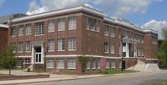 Hodge Halllisted 1985
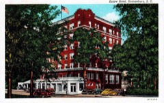 Hotel Eutawlisted 1985
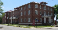 Lowman Hall, South Carolina State Collegelisted 1985
Every listing in Orangeburg County
Surveyed buildings and structures 1 record
- Claflin College, Lee Library, College Avenue, Orangeburgfederal building survey, 20 photographs
Population over time
3 figuresOrangeburg grew from 997 to 13,240 between 1860 and 2020. These are the recorded population figures Wikidata holds for this place, reached through the Geographic Names Information System number this page is keyed on rather than by name, so they belong to this place and not to another of the same name. Most are census counts, but not all are: an early figure may be a founding or settlement estimate, and an estimate published within five years of a census is left out. The change column is computed, and is left blank where more than 20 years separate a figure from the one before it, because a gap that long is not a change between two counts.
| Year | People | Change |
|---|---|---|
| 1860 | 997 | |
| 2010 | 13,964 | |
| 2020 | 13,240 | -724 (-5%) |
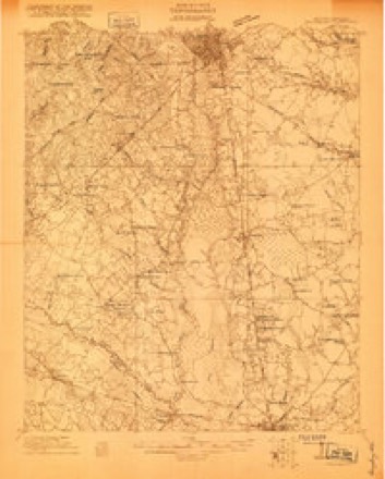
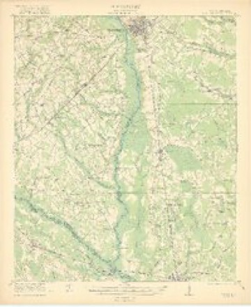
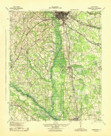
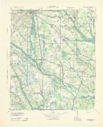
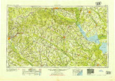
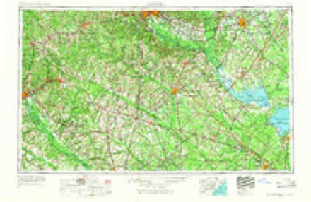
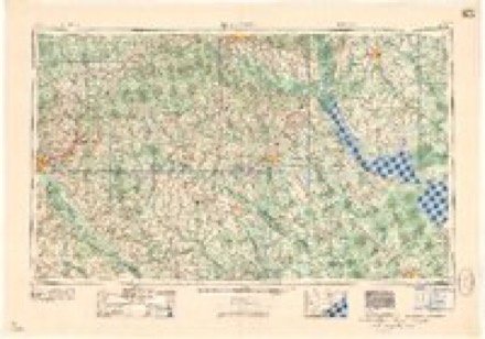
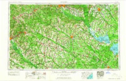
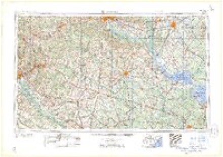
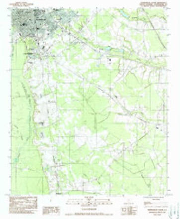
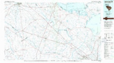
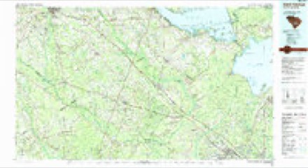
Topographic sheets covering this place
12 surveys from 18 printed sheetsMatched by testing this settlement's coordinate against the published boundary of every sheet in the United States Geological Survey's historical collection. Each opens the scanned sheet at the Survey.
- 1920 USGS Orangeburg quadrangle1:48000
- 1921 USGS Orangeburg quadrangle1:62500, 3 printings
- 1943 USGS Orangeburg quadrangle1:62500
- 1943 USGS Orangeburg quadrangle1:125000
- 1954 USGS Augusta quadrangle1:250000
- 1957 USGS Augusta quadrangle1:250000, 3 printings
- 1958 USGS Augusta quadrangle1:250000
- 1961 USGS Augusta quadrangle1:250000, 2 printings
- 1962 USGS Augusta quadrangle1:250000
- 1982 USGS Orangeburg South quadrangle1:24000, 2 printings
- 1985 USGS Saint George quadrangle1:100000
- 1990 USGS Saint George quadrangle1:100000
Photographs
8 of 18 photographs shown, 1938 to 1941Taken for the Office of War Information and the Farm Security Administration, who photographed the country between 1935 and 1944. Works of United States government photographers, with no known restriction on use. Each opens its catalogue record.
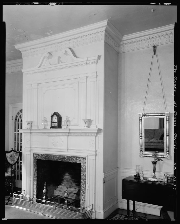
Johnston, Frances Benjamin, 1938. Library of Congress
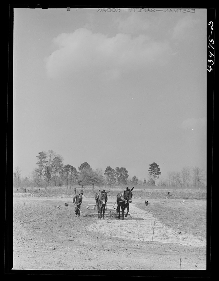
Delano, Jack, 1941. Library of Congress

Delano, Jack, 1941. Library of Congress

Delano, Jack, 1941. Library of Congress
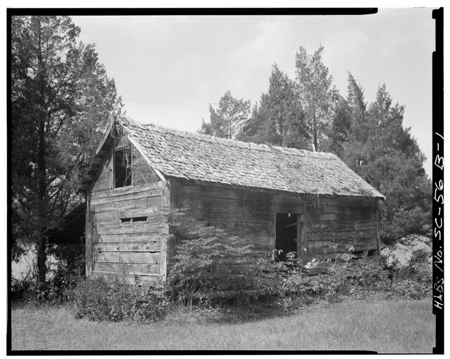
Photographer not recorded. Library of Congress
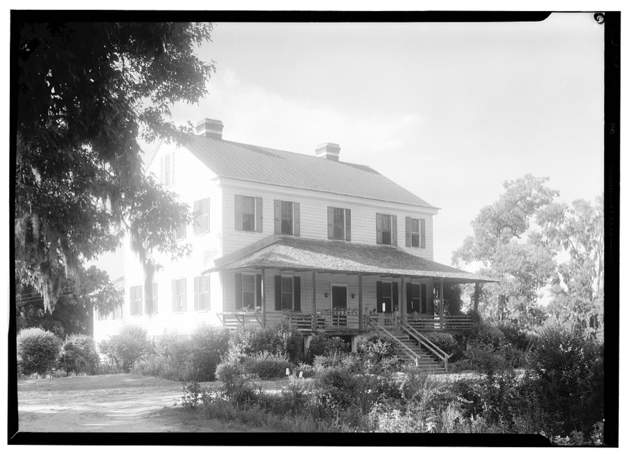
Photographer not recorded. Library of Congress
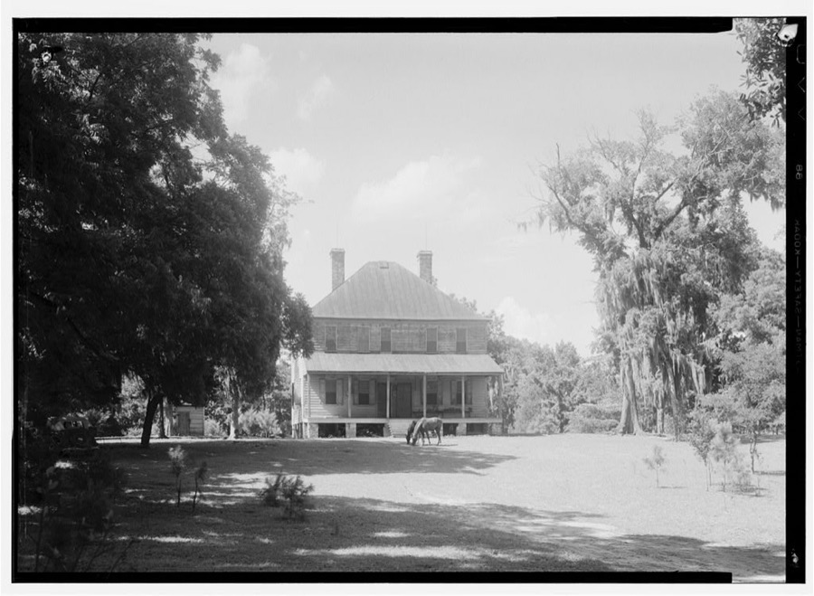
Photographer not recorded. Library of Congress
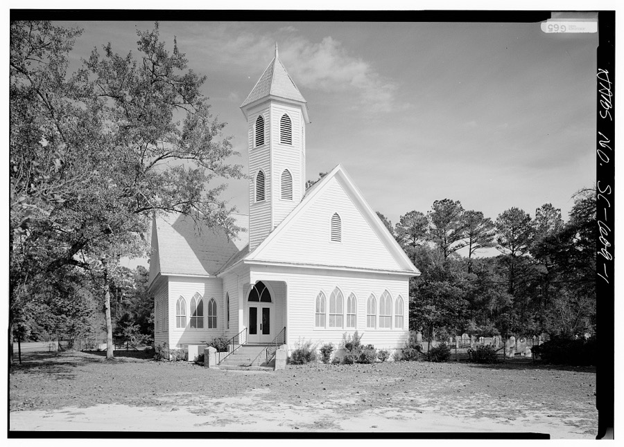
Photographer not recorded. Library of Congress
Every photograph of Orangeburg County
Fires near this place
401 since 1992Regional context, not property-specific evidence. The federal wildfire occurrence database lists 401 fires within 5 miles of Orangeburg between 1992 and 2019, burning about 983 acres in total. 3 started naturally. 13 were recorded as arson. Distance is straight-line from the map coordinates, so a fire counted here may appear on a neighbouring settlement's page as well.
| Reported cause | Fires |
|---|---|
| Debris and open burning | 229 |
| Missing data/not specified/undetermined | 90 |
| Equipment and vehicle use | 22 |
| Smoking | 19 |
| Misuse of fire by a minor | 19 |
| Arson/incendiarism | 13 |
| Natural | 3 |
| Fireworks | 2 |
| Railroad operations and maintenance | 2 |
| Recreation and ceremony | 1 |
| Power generation/transmission/distribution | 1 |
The most recent of them, most recent first, with the day each was reported and the service that recorded it.
| Date | Cause | Size | Reported by | Name on the report |
|---|---|---|---|---|
| 5 September 1999 | Missing data/not specified/undetermined | 2.5 acres | South Carolina Forestry Commission | not named |
| 30 September 2006 | Debris and open burning | under an acre | South Carolina Forestry Commission | not named |
| 29 September 2006 | Debris and open burning | under an acre | South Carolina Forestry Commission | not named |
| 25 September 2019 | Debris and open burning | 4.0 acres | South Carolina Forestry Commission | not named |
| 22 September 1997 | Debris and open burning | 1.0 acres | South Carolina Forestry Commission | not named |
| 21 September 2009 | Debris and open burning | under an acre | South Carolina Forestry Commission | not named |
| 21 September 1997 | Equipment and vehicle use | under an acre | South Carolina Forestry Commission | not named |
| 19 September 2005 | Debris and open burning | under an acre | South Carolina Forestry Commission | not named |
Settlements close enough to share some of these fires:
Mines and quarries near this place
2 within 5 milesRegional context, not property-specific evidence. The federal mineral resources record lists 2 workings within 5 miles of Orangeburg: 1 unknown, 1 producer. 1 still produces. What was taken out: Sand and Gravel, Construction. Distance is straight-line from the map coordinates, so a quarry counted here may appear on a neighbouring settlement's page as well.
| Where | Site | Commodity | Status | Recorded |
|---|---|---|---|---|
| Edisto Asphalt Sand Pit | Sand and Gravel, Construction | Unknown | Sedimentary | |
| No. 6 Pit | Sand and Gravel, Construction | Producer |
Storms near this place
60 of 132 shownRegional context, not property-specific evidence. The National Weather Service names Orangeburg in 132 storm reports between 1994 and 2025: 70 thunderstorm wind, 31 hail, 18 flash flood, 6 tornado. The reports record 5 injuries. Each account below is quoted exactly as the forecast office filed it, from the NOAA Storm Events Database, and each date opens the federal record of that event.
| When | Event | Place named | Harm | What the report says |
|---|---|---|---|---|
| November 1995 | Tornado (F1) | Orangeburg | 3 hurt, $200,000 | Tornado destroyed 16 mobile homes, seriously damaged 11 others and one frame home, and took trees down. Most of the damage occurred along U.S. 178. Three people were slightly injured. |
| August 2002 | Thunderstorm Wind | Orangeburg | 1 hurt, $8,000 | Emergency Manager reported tree fell on a home and came through the roof causing one injury. |
| December 2004 | Tornado (F3) | Orangeburg | 1 hurt | Damage survey found an F3 tornado demolished a brick church, completely destroyed 2 mobile homes and several outbuildings. The main damage occurred on Coulter road. |
| September 2016 | Flash Flood | Orangeburg | $400,000 | Flash Flooding was reported in parts of Orangeburg. The water entered three county buildings, including the library, the courthouse and the law enforcement complex. The emergency manager estimates 40 structures were flooded, with 20 to 25 of them sustaining substantial damage. An apartment complex had 5 buildings with 2 to 3 feet of water in them. A daycare center also had 2 feet of water in the building. Numerous cars were also submerged. |
| July 2022 | Flash Flood | Orangeburg | $300,000 | The broadcast media and local newspaper reported a flash flood at the Malibu Apartments along Malibu Dr between Middleton St and Green St. Ten units flooded with water up to one to two feet. Cars that were parked were also flooded. The nearby Orangeburg water plant reported 3.00 inches of rain, a weather observer along mason drive reported 3.37 inches of rain and a cocorahs observer off jackson drive reported 2.41 inches of rain. Sunnyside Canal, which runs through the complex, rose from 0.54 feet up to 5.31 feet in 45 minutes, cresting at 215 am. |
| August 1996 | Lightning | Orangeburg | $200,000 | no account filed |
| April 2011 | Hail | Orangeburg | $40,000 | Sheriff reported golf ball size hail at FIRE STATION 4 located at Rowesville Road and Prosperity Drive. |
| January 1996 | Tornado (F0) | Orangeburg | $29,000 | no account filed |
| April 2011 | Thunderstorm Wind | Orangeburg | $18,000 | Emergency Manager reported trees down from Cope to Orangeburg. Sheriff also reported a tree down on Hwy 601 by the hospital. |
| July 2024 | Thunderstorm Wind | Orangeburg | $10,000 | Orangeburg County EM reported numerous buildings damaged along a path beginning at the intersection of Russell St and Broughton St to Whaley St and Crystal St and ending on Woodbine Drive where there is a large tree on a house. NWS survey team confirmed a microburst occurred in downtown Orangeburg with estimated wind speeds up to 70 mph. |
| August 2022 | Flash Flood | Orangeburg | $10,000 | Orangeburg Co EM reported flood waters entered 4 apartments at the Malibu Apartments on Malibu Dr. Time estimated. |
| September 2016 | Flash Flood | Orangeburg | $10,000 | County EM reported roadways due to rising water from creeks draining into Caw Caw Swamp Creek. These include Old Riley at Lakeside...Brookside Road...Myers Road at Caw Caw Creek and Railroad Corner Hwy. 601 and Russell Street. |
| October 1995 | Thunderstorm Wind | Orangeburg | $10,000 | no account filed |
| August 2011 | Thunderstorm Wind | Orangeburg | $8,000 | SCEMD reported trees down in Orangeburg. |
| May 2009 | Flash Flood | Orangeburg | $8,000 | Sheriff reported several roads closed due to 1 to 3 feet of water in some areas. Whittaker Parkway, U.S 21, and U.S. 178 were closes as were several roads in Cordova and Cope. |
| June 2009 | Thunderstorm Wind | Orangeburg | $8,000 | Emergency Manager reported numerous trees and powerlines down at SC State University. |
| July 2023 | Flash Flood | Orangeburg | $5,000 | Emergency Manager reported water entered two apartments at Malibu Apartments on Malibu Dr. Times estimated. |
| July 2023 | Flash Flood | Orangeburg | $5,000 | Emergency Manager reported water entered a daycare facility at Belleville Rd and Russell St. Times estimated. |
| June 2011 | Thunderstorm Wind | Orangeburg | $5,000 | Highway Patrol reported trees in the roadway near Presidential Drive and Magnolia road. |
| May 2006 | Thunderstorm Wind | Orangeburg | $5,000 | A microburst blew a tin roof off a horse barn and did minor damage the building. |
| June 2011 | Thunderstorm Wind | Orangeburg | $4,000 | Sheriff reported trees down in north Orangeburg between US 21 and US 601. |
| July 2009 | Thunderstorm Wind | Orangeburg | $4,000 | Sheriff reported trees down along hwy 21 in Orangeburg. |
| October 2016 | Flood | Orangeburg | $3,000 | Reported some minor street flooding in downtown Orangeburg along US 301 John C Calhoun Drive at Sprinkle Street and also along Stonewall Jackson Blvd. |
| June 2015 | Thunderstorm Wind | Orangeburg | $3,000 | Highway Patrol reported trees down on U.S. 301 at U.S 21 in Orangeburg. |
| June 2010 | Thunderstorm Wind | Orangeburg | $3,000 | Emergency Manager reported trees down on Forest Creek Drive. |
| June 2015 | Thunderstorm Wind | Orangeburg | $2,000 | EM reported several trees down in Edisto from thunderstorm winds. |
| July 2013 | Flash Flood | Orangeburg | $2,000 | Highway Patrol reported magnolia Street at Whaley Street closed due to flooding. |
| July 2009 | Thunderstorm Wind | Orangeburg | $2,000 | EM reported several trees down in Edisto. |
| August 2009 | Thunderstorm Wind | Orangeburg | $2,000 | DOT reported several trees down on Partridge Lane road near US 378. |
| May 2002 | Thunderstorm Wind | Orangeburg | $2,000 | Emergency Manager reported a tree fell on a mobile home doing minor damage to the roof. |
| June 2002 | Thunderstorm Wind | Orangeburg | $2,000 | Newspaper reported part of the cinder brick wall of the stands at the football stadium were blown down. |
| August 2022 | Flash Flood | Orangeburg | $1,000 | The Times and Democrat newspaper in Orangeburg relayed a report and photo, via social media, of a flooded vehicle on Frederick St near Chestnut St in the University Village area of SC State Univ. in Orangeburg. Time estimated. |
| November 2020 | Flash Flood | Orangeburg | $1,000 | A flooded and impassable roadway was reported at Brookside Dr and Riverside Dr in Orangeburg. Observations from around the area indicated about 4 to 6 inches of rain fell over this region. Street flooding was also observed in a few other parts of the town of Orangeburg. |
| August 2010 | Thunderstorm Wind | Orangeburg | $1,000 | Sheriff reported a couple of trees down on Bamberg Hwy just southwest of Orangeburg. |
| June 1995 | Thunderstorm Wind | Orangeburg | $1,000 | Thunderstorm winds downed trees in City of Orangeburg. |
| April 2013 | Thunderstorm Wind | Orangeburg | $500 | Highway Patrol reported a tree in the roadway on Columbia road. |
| May 2018 | Flash Flood | Orangeburg | $100 | Road closure at Glover St and Stonewall Jackson Blvd in Orangeburg. |
| May 2018 | Flash Flood | Orangeburg | $100 | Flooding observed at a day care center on Russell St in Orangeburg. Children were rescued. |
| May 2018 | Flash Flood | Orangeburg | $100 | Vehicle stalled in flood waters at Broughton St and Whaley St in Orangeburg. |
| May 2022 | Hail | Orangeburg | $10 | MPING report of pea sized hail. |
| August 2019 | Hail | Orangeburg | $10 | Report of pea size hail received via mPING. |
| May 2025 | Thunderstorm Wind | Orangeburg | - | SC highway patrol reported a tree down on the roadway on Old Edisto Dr. west of Orangeburg. Time estimated by radar. |
| July 2025 | Thunderstorm Wind | Orangeburg | - | Emergency Manager reports roof damage to multiple buildings at 1098 Joe S Jeffords Highway. |
| August 2024 | Thunderstorm Wind | Orangeburg | - | SCHP reported a tree down on Russell St at Old Elloree Rd. |
| August 2024 | Flash Flood | Orangeburg | - | City of Orangeburg has closed portions of Riverside Drive due to flash flooding. |
| August 2024 | Flash Flood | Orangeburg | - | Broadcast media reported via social media that abandoned homes along Waring Street are being flooded. |
| August 2024 | Flash Flood | Orangeburg | - | A SC highway patrol trooper reported a flooded intersection at John C. Calhoun Drive and Sprinkle Avenue. |
| July 2023 | Heavy Rain | Orangeburg | - | USGS rain gage at the US Hwy 301/601 bridge over the North Fork of the Edisto River measured 2.20 inches of rain in one hour from 1730 EDT to 1830 EDT. |
| May 2022 | Thunderstorm Wind | Orangeburg | - | Social media photos show a downed tree near the intersection of Park St and Brantleywood Ln. Time estimated by radar. |
| May 2022 | Thunderstorm Wind | Orangeburg | - | SC Highway Patrol reported a tree in the roadway near the intersection of Hwy 178 and Kennerly Rd. Time estimated. |
| July 2019 | Thunderstorm Wind | Orangeburg | - | A tree fell through a house at 734 Partridge Rd. Time estimated. |
| July 2019 | Thunderstorm Wind | Orangeburg | - | Trees downed in the vicinity of Guinyard St, Garnet St, and Redmon St. |
| June 2019 | Thunderstorm Wind | Orangeburg | - | A thunderstorm downburst with straight-line winds produced extensive damage on the north side of the city of Orangeburg. Tree damage was first observed near Lake Edisto Rd, continuing in a wide path east to east-southeast across North Rd, across |Columbia Rd and ending east of US Hwy 601 south of the Regional Medical Center. Numerous uprooted, snapped and toppled trees were evident, with many structures exhibiting structural and roof damage caused by high wind, downed trees and large downed tree limbs. Several power lines were also down from falling trees|and tree limbs. |
| September 2019 | Thunderstorm Wind | Orangeburg | - | Trees down on Green St in Orangeburg. |
| April 2018 | Thunderstorm Wind | Orangeburg | - | Tree down in roadway Columbia Rd at Sims St. Time estimated. |
| May 2018 | Heavy Rain | Orangeburg | - | The USGS rain gage on the US Hwy 301 bridge over the N. Fork of the Edisto R. recorded 3.24 inches of rain. Most of this rain fell between 1000 am EDT (0900 EST) and 1130 am EDT (1030 EST). |
| May 2018 | Heavy Rain | Orangeburg | - | The NWS COOP observer at the Orangeburg Water Plant recorded 2.88 inches of rain. Most of this rain fell between 1000 am EDT (0900 EST) and 1130 am EDT (1030 EST). Runoff from the heavy rainfall resulted in a nearly 2 foot rise of the N. Fork of the Edisto R. at a gage at the US Hwy 301 bridge. |
| June 2018 | Thunderstorm Wind | Orangeburg | - | SCHP reported trees down on Riverbank Dr at Summer Creek Dr. Time estimated. |
| October 2018 | Tornado (EF0) | Orangeburg | - | A third tornado touchdown occurred near the city of Orangeburg, SC, touching down near Brookside Dr and Pinehill Rd around 2248 EST (2348 EDT). This tornado caused non-continuous damage to large trees as it moved northwestward. It lifted near the Calhoun Co SC line near Providence Rd around 2301 EST on 10/10 (or 00:01 EDT 10/11). |
| June 2016 | Thunderstorm Wind | Orangeburg | - | County Emergency Manager reports numerous trees and power lines down in the city of Orangeburg. |
Newspapers printed here
47,121 digitised pages6 papers published in this town, digitised by the Library of Congress and free to read: 5,733 issues, 47,121 pages. Every page is searchable, so a name or a street can be looked for directly in what the town printed about itself at the time.
| Newspaper | Published |
|---|---|
| The Orangeburg News | 1867 to 1875 |
| Orangeburg News and Times | 1875 to 1877 |
| The Times and Democrat | 1881 to Current |
| Orangeburg Times | 1872 to 1875 |
| The Orangeburg Democrat | 1879 to 1881 |
| The Free Citizen | 1874 to 1876 |
What the paper printed
154,335 wordsFront pages of the local paper, read from the Library of Congress scans: 29 issues spread across its run from 1867 to 1911, 154,335 words in total. Each is reproduced on its own page, exactly as the recogniser returned it.
These pages read less well than anything else here, and the number is worth stating: about three words in four come through cleanly, against nine in ten for the building records. An 1896 broadsheet sets eight-point type in seven columns on microfilm, which is the hardest thing in this archive to read by machine. We tested our own recognisers against the Library's and they were not better, so the Library's text is what appears, with the wholly unreadable columns removed. Read it as a guide to what the paper covered, and follow the link to the scan before quoting anything.
| Issue | Paper | Length |
|---|---|---|
| 1867-03-09 | The Orangeburg News | 3,684 words |
| 1875-03-06 | The Orangeburg News | 3,014 words |
| 1875-05-29 | Orangeburg News and Times | 3,002 words |
| 1875-07-24 | Orangeburg News and Times | 2,172 words |
| 1875-09-11 | Orangeburg News and Times | 3,955 words |
| 1875-11-06 | Orangeburg News and Times | 4,168 words |
| 1877-09-22 | Orangeburg News and Times | 4,248 words |
| 1883-04-26 | The Times and Democrat | 9,888 words |
| 1883-08-30 | The Times and Democrat | 10,081 words |
| 1883-10-11 | The Times and Democrat | 10,067 words |
| 1883-12-20 | The Times and Democrat | 10,200 words |
| 1911-12-30 | The Times and Democrat | 6,421 words |
| 1875-03-06 | The Free Citizen | 5,263 words |
| 1875-04-17 | The Free Citizen | 6,609 words |
| 1875-07-31 | The Free Citizen | 5,627 words |
| 1875-10-16 | The Free Citizen | 5,784 words |
| 1875-11-20 | The Free Citizen | 5,116 words |
| 1872-02-14 | Orangeburg Times | 3,031 words |
| 1872-04-10 | Orangeburg Times | 3,137 words |
| 1872-06-05 | Orangeburg Times | 4,020 words |
| 1872-08-07 | Orangeburg Times | 4,039 words |
| 1872-10-16 | Orangeburg Times | 3,457 words |
| 1875-03-11 | Orangeburg Times | 6,267 words |
| 1879-01-03 | The Orangeburg Democrat | 6,307 words |
| 1879-03-14 | The Orangeburg Democrat | 5,671 words |
| 1879-05-23 | The Orangeburg Democrat | 5,707 words |
| 1879-08-08 | The Orangeburg Democrat | 4,933 words |
| 1879-10-17 | The Orangeburg Democrat | 5,546 words |
| 1880-12-17 | The Orangeburg Democrat | 2,921 words |
Nearest settlements
The eight closest, with where each one stands in the county. Distances are straight-line, computed from the Geographic Names Information System coordinates.
| Map | Place | Distance | Sheets |
|---|---|---|---|
| Hallmark Hills | 0.7 miles | 18 | |
| Quicktown | 0.8 miles | 18 | |
| Orangeburg Manor | 1.0 miles | 18 | |
| College Terrace | 1.1 miles | 18 | |
| Moss Heights | 1.2 miles | 18 | |
| Pecanway Terrace | 1.2 miles | 13 | |
| New Brookland | 1.3 miles | 13 | |
| Berry Woods | 1.3 miles | 13 |
Elsewhere
Matched on this settlement's Geographic Names Information System number rather than its name, so it cannot be a different place of the same name in another state.
| Wikipedia article on Orangeburg | An encyclopaedic summary. Its text is share-alike, so it is linked here rather than copied. |
| Wikidata item Q2276157 | The structured record the population and elevation above come from. Public domain (CC0). |
Provenance
This settlement is recorded in the Geographic Names Information System as feature 1249990. The sheet list is computed by point-in-boundary test against the United States Geological Survey's historical topographic inventory. Both are works of the United States government and carry no copyright under 17 U.S.C. 105.
Wildfire. Short, Karen C. 2022. Spatial wildfire occurrence data for the United States, 1992-2020 [FPA_FOD_20221014]. 6th Edition. Fort Collins, CO: Forest Service Research Data Archive. https://doi.org/10.2737/RDS-2013-0009.6 Collected with United States Government funding and usable without additional permissions or fees.
Mines and quarries. USGS Mineral Resources Data System (MRDS) https://mrdata.usgs.gov/mrds/ A work of the United States government, no copyright under 17 U.S.C. 105.
Storms. NOAA National Centers for Environmental Information, Storm Events Database https://www.ncei.noaa.gov/stormevents/ A work of the United States government, no copyright under 17 U.S.C. 105. Narratives are quoted verbatim from the National Weather Service report and are not edited or summarised.