 Block
Ten Mile, South Carolina
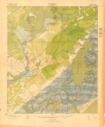
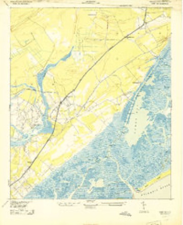
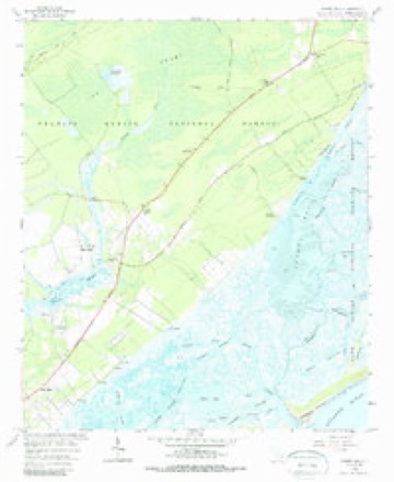
13 topographic sheets cover this place, the earliest surveyed in 1919 and the latest in 1990. It stands in the Mount Pleasant census division. It lies in ZIP code area 29429. The Survey maps it on the Sewee Bay quadrangle.
Topographic sheets covering this place
8 surveys from 13 printed sheetsMatched by testing this settlement's coordinate against the published boundary of every sheet in the United States Geological Survey's historical collection. Each opens the scanned sheet at the Survey.
- 1919 USGS Sewee Bay quadrangle1:21120
- 1943 USGS Sewee Bay quadrangle1:24000
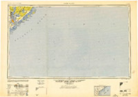
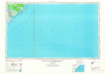
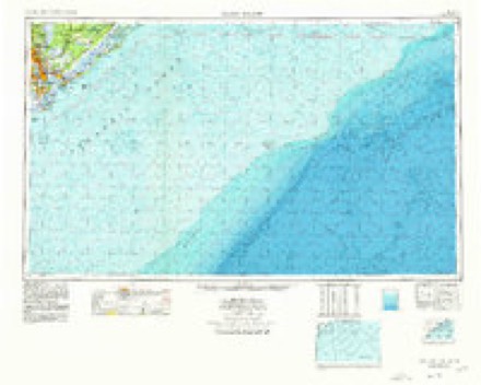
- 1948 USGS James Island quadrangle1:250000, 2 printings
- 1959 USGS Sewee Bay quadrangle1:24000, 4 printings
- 1968 USGS James Island quadrangle1:250000
- 1969 USGS James Island quadrangle1:250000, 2 printings
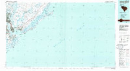
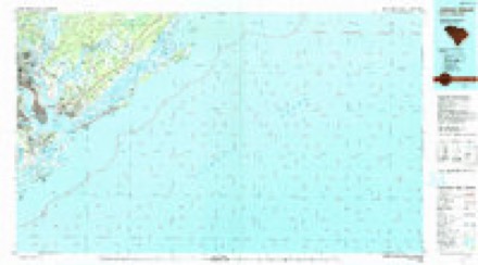
- 1986 USGS James Island quadrangle1:100000
- 1990 USGS James Island quadrangle1:100000
Fires near this place
178 since 1992Regional context, not property-specific evidence. The federal wildfire occurrence database lists 178 fires within 5 miles of Ten Mile between 1992 and 2017, burning about 1,961 acres in total. None started naturally. 39 were recorded as arson. Distance is straight-line from the map coordinates, so a fire counted here may appear on a neighbouring settlement's page as well.
| Reported cause | Fires |
|---|---|
| Missing data/not specified/undetermined | 86 |
| Debris and open burning | 46 |
| Arson/incendiarism | 39 |
| Misuse of fire by a minor | 4 |
| Recreation and ceremony | 2 |
| Equipment and vehicle use | 1 |
The most recent of them, most recent first, with the day each was reported and the service that recorded it.
| Date | Cause | Size | Reported by | Name on the report |
|---|---|---|---|---|
| 21 August 1995 | Missing data/not specified/undetermined | 35 acres | South Carolina Forestry Commission | not named |
| 13 August 1995 | Missing data/not specified/undetermined | 12 acres | South Carolina Forestry Commission | not named |
| 1 August 1993 | Missing data/not specified/undetermined | 1.0 acres | South Carolina Forestry Commission | not named |
| 4 July 2000 | Arson/incendiarism | under an acre | South Carolina Forestry Commission | not named |
| 19 July 2010 | Missing data/not specified/undetermined | 3.2 acres | South Carolina Forestry Commission | not named |
| 1 July 1996 | Missing data/not specified/undetermined | 2.0 acres | South Carolina Forestry Commission | not named |
| 4 June 2000 | Debris and open burning | 6.0 acres | South Carolina Forestry Commission | not named |
| 17 June 2006 | Debris and open burning | 2.0 acres | South Carolina Forestry Commission | not named |
Settlements close enough to share some of these fires:
Mines and quarries near this place
1 within 5 milesRegional context, not property-specific evidence. The federal mineral resources record lists 1 working within 5 miles of Ten Mile: 1 unknown. None of them still produces. What was taken out: Titanium, Iron, Zirconium. Distance is straight-line from the map coordinates, so a quarry counted here may appear on a neighbouring settlement's page as well.
| Where | Site | Commodity | Status | Recorded |
|---|---|---|---|---|
| Sewee Bay Quadrangle | Titanium, Iron, Zirconium | Unknown | Placer , Modern , Beach |
Storms near this place
9 since 2008Regional context, not property-specific evidence. The National Weather Service names Ten Mile in 9 storm reports between 2008 and 2023: 3 hail, 3 thunderstorm wind, 3 tornado. No death or injury is recorded in these reports. Each account below is quoted exactly as the forecast office filed it, from the NOAA Storm Events Database, and each date opens the federal record of that event.
| When | Event | Place named | Harm | What the report says |
|---|---|---|---|---|
| August 2023 | Tornado (EF0) | Ten Mile | - | A National Weather Service Storm Survey Team confirmed an EF0 tornado with an estimated maximum wind speed of 85 mph in Charleston County occurring from 230 PM EST to 233 PM EST. The tornado, which developed within the outer rainbands of Hurricane Idalia, began just south of Highway 17 near the intersection of Happyland Boulevard and Tower Drive in the Whitehall Terrace Community of Mount Pleasant. In this area, the tornado caused minor roof damage to at least one home and uprooted several trees. The tornado then crossed Highway 17, where it was presumed to have periodically touched the ground while crossing over the Wando High School area, causing no discernible damage. As the tornado continued north-northwest into the Carolina Park Community, it generally caused minor damage, snapping some trees and limbs, lifting one porta potty and pushing one car into a tree. The tornado then moved into the northeastern portion of the Park West Community, just south of the Wando River. In this area, there was more concentrated damage, where the tornado snapped and uprooted several trees. The tornado then dissipated as it continued north-northwest toward the marsh and the Wando River. |
| September 2022 | Tornado (EF0) | Ten Mile | - | A NWS storm survey team confirmed that a brief EF-0 tornado occurred near Highway 17 in Mount Pleasant. The weak and short-lived tornado touched down on Zacoma Drive and traveled north-northwest and dissipated near the intersection of Highway 17 and Lieben Road. Damage was mostly confined to small trees and large limbs, but there was some minor roof damage to a Mount Pleasant Public Works building off of Lieben Road. Damage was limited to a small area along Zacoma Drive, Ty Lane, Tower Drive, and Lieben Road. The damage pattern in this area was consistent with an EF-0 tornado with maximum estimated winds around 70 mph. |
| July 2021 | Tornado (EF1) | Ten Mile | - | A National Weather Service (NWS) storm survey team determined that an EF-1 tornado occurred near Awendaw in Charleston County. The tornado touched down in the private community of Wando Farms, where it snapped more than a dozen medium to large pine trees, and snapped large limbs off of very large live oak trees. One resident had the front door of their home blown in. The tornado then moved north, and appears to weaken as it crossed the Wando River and the surrounding marsh area. The tornado then ended near the intersection of Ronlin Farm Road and Woodville Road where it snapped and uprooted several trees around a few homes. The tornado was estimated to be an EF-1, with peak winds of 95 mph, with the highest winds likely near the beginning of the path. |
| June 2019 | Thunderstorm Wind | Ten Mile | - | The South Carolina Highway Patrol reported a tree down near the intersection of Chandler Road and Highway 17. |
| September 2017 | Thunderstorm Wind | Ten Mile | - | Charleston County dispatch reported multiple trees down along Seewee Road near Highway 17. |
| September 2017 | Thunderstorm Wind | Ten Mile | - | Charleston Fire Department reported a tree down on Guerins Bridge Road near Woodville Road. |
| June 2015 | Hail | Ten Mile | - | A resident on Dewees Island reports quarter sized hail. |
| May 2010 | Hail | Ten Mile | - | Broadcast Media relayed a report of near baseball size hail at the corner of Highway 17 and Seewee Road, 9 miles southwest of Awendaw, South Carolina. |
| May 2008 | Hail | Ten Mile | - | A trained weather spotter reported golf ball size hail in the Whitehall Terrace Subdivision. |
Nearest settlements
The eight closest, with where each one stands in the county. Distances are straight-line, computed from the Geographic Names Information System coordinates.
| Map | Place | Distance | Sheets |
|---|---|---|---|
| Whitehall Terrace | 1.0 miles | 14 | |
| Chandler | 1.3 miles | 13 | |
| Porcher Bluff | 2.3 miles | 17 | |
| Woodville | 3.1 miles | 13 | |
| Philip | 3.7 miles | 18 | |
| Martins Point Landing | 5.1 miles | 18 | |
| Palmetto Fort | 5.1 miles | 17 | |
| Moores Landing | 5.8 miles | 13 |
Provenance
This settlement is recorded in the Geographic Names Information System as feature 1230400. The sheet list is computed by point-in-boundary test against the United States Geological Survey's historical topographic inventory. Both are works of the United States government and carry no copyright under 17 U.S.C. 105.
Wildfire. Short, Karen C. 2022. Spatial wildfire occurrence data for the United States, 1992-2020 [FPA_FOD_20221014]. 6th Edition. Fort Collins, CO: Forest Service Research Data Archive. https://doi.org/10.2737/RDS-2013-0009.6 Collected with United States Government funding and usable without additional permissions or fees.
Mines and quarries. USGS Mineral Resources Data System (MRDS) https://mrdata.usgs.gov/mrds/ A work of the United States government, no copyright under 17 U.S.C. 105.
Storms. NOAA National Centers for Environmental Information, Storm Events Database https://www.ncei.noaa.gov/stormevents/ A work of the United States government, no copyright under 17 U.S.C. 105. Narratives are quoted verbatim from the National Weather Service report and are not edited or summarised.