 Block
Plana, South Dakota
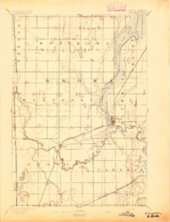
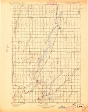
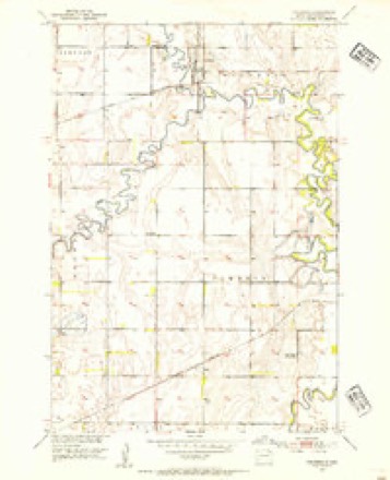
10 topographic sheets cover this place, the earliest surveyed in 1894 and the latest in 1985. It stands in Cambria Township. It lies in ZIP code area 57427. The Survey maps it on the Columbia quadrangle.
On record in Plana
Buildings and businesses the archive holds for this place. Each opens its own page, with the source record it came from.
On the National Register 2 records
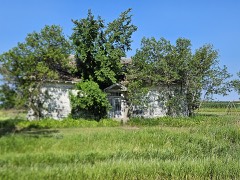 Plana Schoollisted 1995
- Welsh Presbyterian Churchlisted 1995
Topographic sheets covering this place
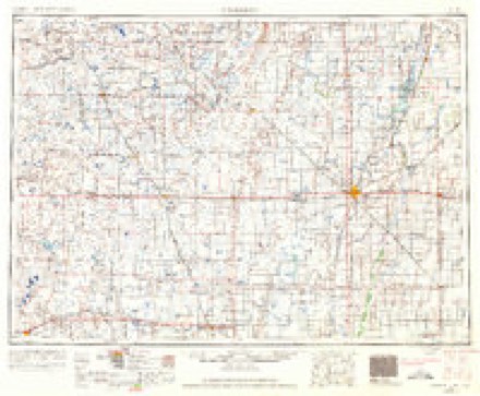
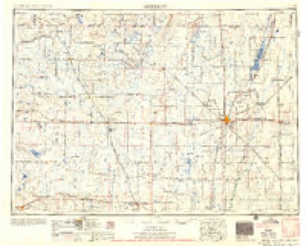
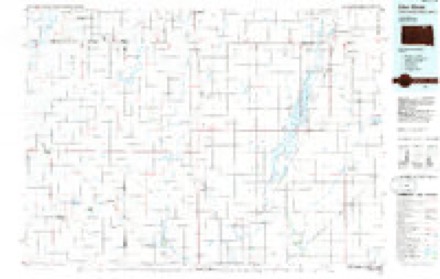
6 surveys from 10 printed sheetsMatched by testing this settlement's coordinate against the published boundary of every sheet in the United States Geological Survey's historical collection. Each opens the scanned sheet at the Survey.
- 1894 USGS Columbia quadrangle1:62500
- 1896 USGS Columbia quadrangle1:125000, 3 printings
- 1952 USGS Columbia quadrangle1:24000
- 1954 USGS Aberdeen quadrangle1:250000, 2 printings
- 1956 USGS Aberdeen quadrangle1:250000
- 1985 USGS Elm River quadrangle1:100000, 2 printings
Fires near this place
22 since 2000Regional context, not property-specific evidence. The federal wildfire occurrence database lists 22 fires within 5 miles of Plana between 2000 and 2017, burning about 7,051 acres in total. 1 started naturally. None was recorded as arson. Distance is straight-line from the map coordinates, so a fire counted here may appear on a neighbouring settlement's page as well.
| Reported cause | Fires |
|---|---|
| Missing data/not specified/undetermined | 12 |
| Equipment and vehicle use | 5 |
| Debris and open burning | 2 |
| Smoking | 1 |
| Fireworks | 1 |
| Natural | 1 |
The most recent of them, most recent first, with the day each was reported and the service that recorded it.
| Date | Cause | Size | Reported by | Name on the report |
|---|---|---|---|---|
| 12 August 2014 | Missing data/not specified/undetermined | 15 acres | South Dakota Wildland Fire Suppression | I90 |
| 4 July 2016 | Missing data/not specified/undetermined | under an acre | South Dakota Wildland Fire Suppression | KEVIN RORHBACH |
| 4 July 2008 | Fireworks | under an acre | South Dakota Wildland Fire Suppression | not named |
| 27 July 2014 | Missing data/not specified/undetermined | 8.0 acres | South Dakota Wildland Fire Suppression | 248TH |
| 15 July 2016 | Equipment and vehicle use | under an acre | South Dakota Wildland Fire Suppression | MIKE |
| 28 May 2014 | Missing data/not specified/undetermined | 2.0 acres | South Dakota Wildland Fire Suppression | TREASURE ISLAND |
| 13 May 2013 | Missing data/not specified/undetermined | 9.0 acres | Brown County | HULL |
| 11 May 2004 | Natural | 1,200 acres | South Dakota Wildland Fire Suppression | RIVER BOTTOM |
Settlements close enough to share some of these fires:
Mines and quarries near this place
1 within 5 milesRegional context, not property-specific evidence. The federal mineral resources record lists 1 working within 5 miles of Plana: 1 producer. All of them still produce. What was taken out: Sand and Gravel, Construction. Distance is straight-line from the map coordinates, so a quarry counted here may appear on a neighbouring settlement's page as well.
| Where | Site | Commodity | Status | Recorded |
|---|---|---|---|---|
| Schlosser Pit | Sand and Gravel, Construction | Producer |
Storms near this place
14 since 2009Regional context, not property-specific evidence. The National Weather Service names Plana in 14 storm reports between 2009 and 2025: 9 flood, 3 thunderstorm wind, 2 hail. No death or injury is recorded in these reports. Each account below is quoted exactly as the forecast office filed it, from the NOAA Storm Events Database, and each date opens the federal record of that event.
| When | Event | Place named | Harm | What the report says |
|---|---|---|---|---|
| August 2025 | Flood | Plana | - | The river near Columbia went into flood at 9:15 p.m. CST on August 10th and remained in flood through the rest of the month. It crested at 15.15 feet, which is 2.15 feet above flood stage, primarily impacting agricultural lands. |
| September 2025 | Flood | Plana | - | Despite cresting in August, the James River would remain in flood through much of the month of September. The James River near Columbia fell below flood stage late in the morning of September 22nd. This flooding mainly impacts agricultural bottomlands. |
| May 2023 | Flood | Plana | - | The James River near Columbia started the month at 17.80 feet, and crested at 18.07 feet on May 13th, and has been more or less steady with a slight trend downwards through the latter half of May. Impacts are limited to flooding of agricultural lands. |
| April 2023 | Flood | Plana | - | The James River near Columbia crested just below major flood stage at 17.85 feet on April 30th. This flooding impacted a significant amount of agricultural lands. |
| April 2023 | Flood | Plana | - | The Elm River at Ordway crested at 14.78 feet, 1.78 feet above flood stage, on the evening of April 19th. |
| August 2023 | Flood | Plana | - | The James river gauge at Columbia observed a level of 16.0 feet on August 1st. Over the course of the month the river level dropped slowly, finally falling below the flood stage of 13.0 feet on the morning of August 23rd, 130 days after the initial start of flooding. Flooding continued to mostly impact cropland and pastures, along with a few county roads. |
| June 2022 | Flood | Plana | - | The James River near Stratford was in moderate flood stage throughout June. It crested at 18.33 feet at 1am one June 5th. |
| June 2017 | Thunderstorm Wind | Plana | - | A tree was downed onto a power line by sixty-five mph winds. |
| June 2016 | Thunderstorm Wind | Plana | - | Seventy mph winds blew down a grain bin and tossed it approximately 50 yards taking out a power pole in the process. The grain bin was empty and not properly anchored to the cement base. |
| July 2016 | Thunderstorm Wind | Plana | - | A large machine shed received major damage to a wall and the roof due to eighty mph winds. |
| August 2022 | Flood | Plana | - | no account filed |
| September 2013 | Flood | Plana | - | no account filed |
| September 2013 | Hail | Plana | - | no account filed |
| August 2009 | Hail | Plana | - | no account filed |
Nearest settlements
The eight closest, with where each one stands in the county. Distances are straight-line, computed from the Geographic Names Information System coordinates.
| Map | Place | Distance | Sheets |
|---|---|---|---|
| Bath | 3.6 miles | 11 | |
| Tacoma Park | 3.7 miles | 9 | |
| Bath Corner | 4.3 miles | 11 | |
| Prairiewood Village | 6.0 miles | 10 | |
| Prairie Wood Village Addition | 6.3 miles | 10 | |
| James | 6.3 miles | 11 | |
| Columbia | 6.5 miles | 10 | |
| Jobee Acres | 6.8 miles | 11 |
Provenance
This settlement is recorded in the Geographic Names Information System as feature 1265322. The sheet list is computed by point-in-boundary test against the United States Geological Survey's historical topographic inventory. Both are works of the United States government and carry no copyright under 17 U.S.C. 105.
Wildfire. Short, Karen C. 2022. Spatial wildfire occurrence data for the United States, 1992-2020 [FPA_FOD_20221014]. 6th Edition. Fort Collins, CO: Forest Service Research Data Archive. https://doi.org/10.2737/RDS-2013-0009.6 Collected with United States Government funding and usable without additional permissions or fees.
Mines and quarries. USGS Mineral Resources Data System (MRDS) https://mrdata.usgs.gov/mrds/ A work of the United States government, no copyright under 17 U.S.C. 105.
Storms. NOAA National Centers for Environmental Information, Storm Events Database https://www.ncei.noaa.gov/stormevents/ A work of the United States government, no copyright under 17 U.S.C. 105. Narratives are quoted verbatim from the National Weather Service report and are not edited or summarised.