 Block
Valley Springs, South Dakota
8 topographic sheets cover this place, the earliest surveyed in 1955 and the latest in 1985. It stands in Valley Springs City. It lies in ZIP code area 57068. It stands on Annie Anderson Creek. The Survey maps it on the Valley Springs quadrangle. 885 people lived here at the 2020 count. It stands 1,404 feet above sea level.
On record in Valley Springs
Buildings and businesses the archive holds for this place. Each opens its own page, with the source record it came from.
On the National Register 1 record
- Valley Springs Rest Stop Tipilisted 2015
Population over time
2 figuresValley Springs grew from 759 to 885 between 2010 and 2020. These are the recorded population figures Wikidata holds for this place, reached through the Geographic Names Information System number this page is keyed on rather than by name, so they belong to this place and not to another of the same name. Most are census counts, but not all are: an early figure may be a founding or settlement estimate, and an estimate published within five years of a census is left out. The change column is computed, and is left blank where more than 20 years separate a figure from the one before it, because a gap that long is not a change between two counts.
| Year | People | Change |
|---|---|---|
| 2010 | 759 | |
| 2020 | 885 | +126 (+17%) |
Topographic sheets covering this place
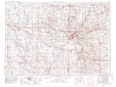
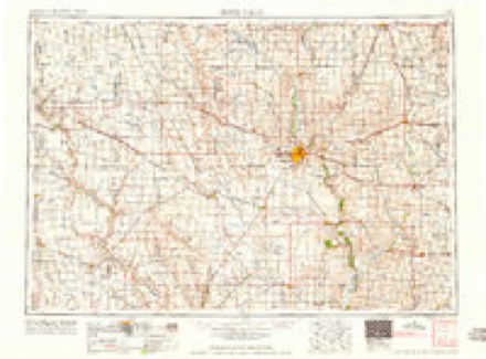
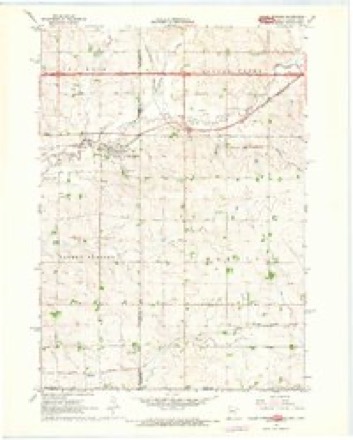
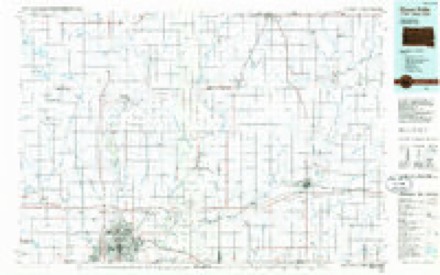
4 surveys from 8 printed sheetsMatched by testing this settlement's coordinate against the published boundary of every sheet in the United States Geological Survey's historical collection. Each opens the scanned sheet at the Survey.
- 1955 USGS Sioux Falls quadrangle1:250000, 3 printings
- 1958 USGS Sioux Falls quadrangle1:250000
- 1967 USGS Valley Springs quadrangle1:24000, 2 printings
- 1985 USGS Sioux Falls quadrangle1:100000, 2 printings
In the county-history sources
15,502 words on this townshipHistory of Minnehaha County, South Dakota. Containing an Account of Its Settlements, Growth, Development and Resources ... Synopsis of Public Records, Biographical Sketches .., published 1899 names this settlement in its chapter on Valley Springs Township. These are the passages that mention it, exactly as the scans read.
All lines of business usually found in villages of the size of Valley Springs, are not only well represented, but there are some enterprises of which the people are justly proud. In 1878, L. K. Lee, then a resident of Valley Springs, built a flouring- mill of 100-barrel capacity. It is a iirst-class mill in every detail, and its product grades high upon the market. He also built an elevator of upwards of 30,000 bushel capacity. The mill has been owned and successfully operated by the Valley Springs Roller Mill Company since 1893. The Hubbard & Palmer Elevator Compan}^ handles grain at this point, and the capacity of their elevator is ample to meet the demands of its patrons.
Passage source: History of Minnehaha County, South Dakota. Containing an Account of Its Settlements, Growth, Development and Resources ... Synopsis of Public Records, Biographical Sketches .., published 1899.
In June, 1896, the Valley Springs Creamery Companv was organized. It is not incorporated, but is organized on the co-operative plan. At the present time there are upwards of seventy-five shareholders. The public-spirited citizens of the village, in order to aid in the project, adopted a novel plan of procedure. They organized the Valley Springs Building Association, with shares of stock at twenty-five dollars each, and secured S1,000 in this way, which was used in erecting a creamery building. The use of this building was given to the creamery company free of charge as long as it was operated as a creamery. During the year 1898 the companv paid S8,945.69 for 1,469,273 lbs. of milk. From this milk 63,895 lbs. of butter was made, which was sold for $10,946.64. The whole cost of the plant, including a skimming station at Corson, is a little upwards of $3,000. It has three separators, and so far has been running at only about one-half its capacity. It has been well conducted, and is under able management. J. J. Urquhart is president, Tolle J. Bye vice president, J. G. Kimball secretary and manager, Charles Lathrop treasurer and L. Christianson buttermaker.
Passage source: History of Minnehaha County, South Dakota. Containing an Account of Its Settlements, Growth, Development and Resources ... Synopsis of Public Records, Biographical Sketches .., published 1899.
Valley Springs Enterprise. - This was the first newspaper published in Valley Springs. T. J. Martin was the proprietor and editor, and for several years published a g-ood local paper, but removed to Toledo, Ohio, in 1890, where he published] a newspaper until his death, w^hich occurred December 19, 1897.
Passage source: History of Minnehaha County, South Dakota. Containing an Account of Its Settlements, Growth, Development and Resources ... Synopsis of Public Records, Biographical Sketches .., published 1899.
Machine-read from a century-old scan, so expect the errors a machine makes: misspelled names, dropped words, stray characters.
Read the whole chapter on Valley Springs Township - it names this place 19 more 19 times.
Fires near this place
6 since 1999Regional context, not property-specific evidence. The federal wildfire occurrence database lists 6 fires within 5 miles of Valley Springs between 1999 and 2020, burning about 47 acres in total. None started naturally. None was recorded as arson. Distance is straight-line from the map coordinates, so a fire counted here may appear on a neighbouring settlement's page as well.
| Reported cause | Fires |
|---|---|
| Missing data/not specified/undetermined | 3 |
| Equipment and vehicle use | 1 |
| Power generation/transmission/distribution | 1 |
| Debris and open burning | 1 |
The most recent of them, most recent first, with the day each was reported and the service that recorded it.
| Date | Cause | Size | Reported by | Name on the report |
|---|---|---|---|---|
| 29 September 2020 | Equipment and vehicle use | 40 acres | South Dakota Wildland Fire Suppression | INC # 106 9/29/2020 |
| 6 May 2019 | Missing data/not specified/undetermined | under an acre | South Dakota Wildland Fire Suppression | BOYD FIRE |
| 6 April 2013 | Debris and open burning | 1.0 acres | Minnehaha County | 2013-284 |
| 23 April 2016 | Missing data/not specified/undetermined | 4.0 acres | South Dakota Wildland Fire Suppression | BRUNS PLACE |
| 14 December 2004 | Missing data/not specified/undetermined | under an acre | South Dakota Wildland Fire Suppression | not named |
| 11 October 1999 | Power generation/transmission/distribution | 1.0 acres | Brandon Volunteer Fire Department | 9600 E. MAPLE ST. |
Settlements close enough to share some of these fires:
Mines and quarries near this place
10 of 12 shownRegional context, not property-specific evidence. The federal mineral resources record lists 12 workings within 5 miles of Valley Springs: 7 past producers, 4 unknowns, 1 producer. 1 still produces. What was taken out: Sand and Gravel, Construction. Distance is straight-line from the map coordinates, so a quarry counted here may appear on a neighbouring settlement's page as well.
| Where | Site | Commodity | Status | Recorded |
|---|---|---|---|---|
| Albert Anderson Sand Pit | Sand and Gravel, Construction | Past Producer | ||
| Baker's Gravel Pit | Sand and Gravel, Construction | Past Producer | ||
| Flanagan Gravel Pit | Sand and Gravel, Construction | Producer | ||
| Gran Sand and Gravel Pit | Sand and Gravel, Construction | Past Producer | ||
| Johnson Pit | Sand and Gravel, Construction | Past Producer | ||
| Pat Kinney Gravel Pit | Sand and Gravel, Construction | Unknown | ||
| Scholten Pit | Sand and Gravel, Construction | Unknown | ||
| Scott Gravel Pit | Sand and Gravel, Construction | Past Producer | ||
| Swanson Gravel Pit | Sand and Gravel, Construction | Unknown | ||
| Swenson Gravel Pit | Sand and Gravel, Construction | Past Producer |
Nearest settlements
The eight closest, with where each one stands in the county. Distances are straight-line, computed from the Geographic Names Information System coordinates.
| Map | Place | Distance | Sheets |
|---|---|---|---|
| Benclare | 5.3 miles | 8 | |
| Brandon | 5.6 miles | 8 | |
| Corson | 6.0 miles | 8 | |
| Rowena | 6.3 miles | 8 | |
| Indian Hill Division | 8.2 miles | 8 | |
| East Sioux Falls | 8.4 miles | 8 | |
| Hill Ridge Development | 9.0 miles | 9 | |
| Pine Lakes Addition | 9.1 miles | 9 |
Elsewhere
Matched on this settlement's Geographic Names Information System number rather than its name, so it cannot be a different place of the same name in another state.
| Wikipedia article on Valley Springs | An encyclopaedic summary. Its text is share-alike, so it is linked here rather than copied. |
| Wikidata item Q2800844 | The structured record the population and elevation above come from. Public domain (CC0). |
Provenance
This settlement is recorded in the Geographic Names Information System as feature 1258730. The sheet list is computed by point-in-boundary test against the United States Geological Survey's historical topographic inventory. Both are works of the United States government and carry no copyright under 17 U.S.C. 105.
Wildfire. Short, Karen C. 2022. Spatial wildfire occurrence data for the United States, 1992-2020 [FPA_FOD_20221014]. 6th Edition. Fort Collins, CO: Forest Service Research Data Archive. https://doi.org/10.2737/RDS-2013-0009.6 Collected with United States Government funding and usable without additional permissions or fees.
Mines and quarries. USGS Mineral Resources Data System (MRDS) https://mrdata.usgs.gov/mrds/ A work of the United States government, no copyright under 17 U.S.C. 105.