 Block
Winship, South Dakota
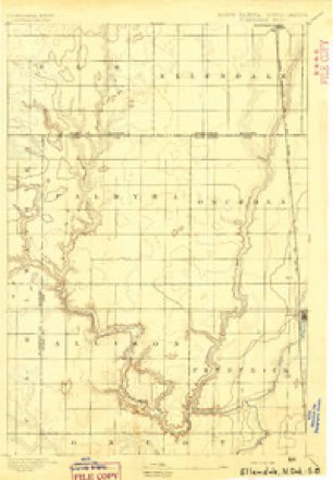
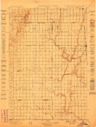
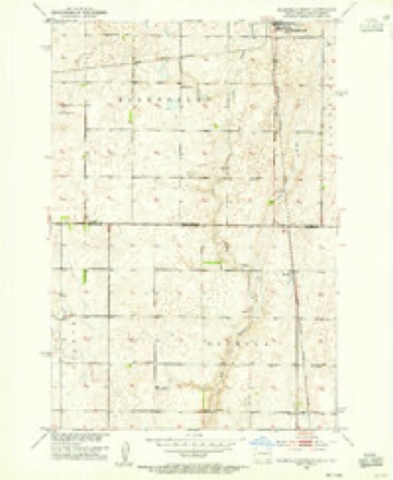
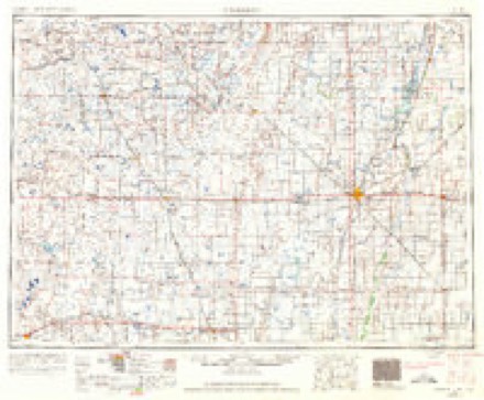
11 topographic sheets cover this place, the earliest surveyed in 1894 and the latest in 1985. It stands in Osceola Township. It lies in ZIP code area 58436. It stands on Sewer Branch. The Survey maps it on the Ellendale South quadrangle.
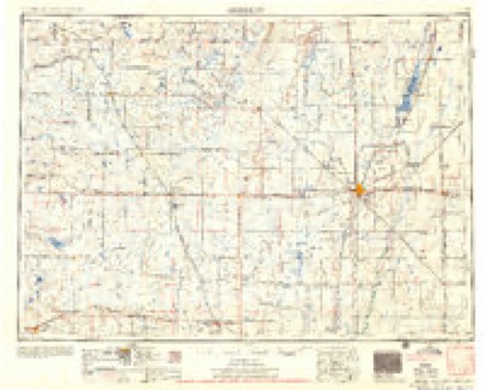
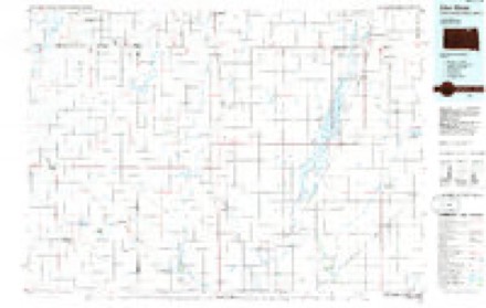
Topographic sheets covering this place
6 surveys from 11 printed sheetsMatched by testing this settlement's coordinate against the published boundary of every sheet in the United States Geological Survey's historical collection. Each opens the scanned sheet at the Survey.
- 1894 USGS Ellendale quadrangle1:62500
- 1899 USGS Ellendale quadrangle1:125000, 2 printings
- 1953 USGS Ellendale South quadrangle1:24000, 3 printings
- 1954 USGS Aberdeen quadrangle1:250000, 2 printings
- 1956 USGS Aberdeen quadrangle1:250000
- 1985 USGS Elm River quadrangle1:100000, 2 printings
Fires near this place
1 since 2020Regional context, not property-specific evidence. The federal wildfire occurrence database lists 1 fire within 5 miles of Winship in 2020, burning under an acre in total. None started naturally. None was recorded as arson. Distance is straight-line from the map coordinates, so a fire counted here may appear on a neighbouring settlement's page as well.
| Reported cause | Fires |
|---|---|
| Equipment and vehicle use | 1 |
The most recent of them, most recent first, with the day each was reported and the service that recorded it.
| Date | Cause | Size | Reported by | Name on the report |
|---|---|---|---|---|
| 27 April 2020 | Equipment and vehicle use | under an acre | South Dakota Wildland Fire Suppression | 281 FIRE |
Storms near this place
60 of 65 shownRegional context, not property-specific evidence. The National Weather Service names Winship in 65 storm reports between 2007 and 2025: 27 flood, 22 thunderstorm wind, 14 hail, 1 tornado. No death or injury is recorded in these reports. Each account below is quoted exactly as the forecast office filed it, from the NOAA Storm Events Database, and each date opens the federal record of that event.
| When | Event | Place named | Harm | What the report says |
|---|---|---|---|---|
| April 2019 | Flood | Winship | $745,300 | no account filed |
| April 2023 | Flood | Winship | $150,000 | no account filed |
| August 2009 | Flash Flood | Winship | $15,000 | Numerous county roads and area fields were overrun with flowing water. The level of Richmond Lake rose nearly a foot a day after the event from high inflows. This rapid rise in the lake level resulted in numerous boat and fishing docks being submerged. Several boats were also trapped under lift canopies due to the high water. There were reports of several boats breaking free of their mooring and floating toward the spillway. |
| July 2025 | Hail | Winship | - | A caller stated the storm produced dime to penny sized hail, and that the hail had damaged crops. |
| June 2022 | Hail | Winship | - | The report of golf ball sized hail was submitted via social media with a photo. |
| June 2020 | Thunderstorm Wind | Winship | - | Estimated ninety mph winds caused a partial loss of a barn's roof along with a collapsed wall. The winds also caused the collapse of a machine shop's door, house shingle damage, uprooted cottonwood trees, with some cottonwood trees snapped at the base. |
| June 2020 | Thunderstorm Wind | Winship | - | Estimated seventy-five mph winds uprooted a tree along with downing large tree branches. The tree fell on a shop. |
| March 2019 | Flood | Winship | - | Some flooding began to occur from Amsden Lake, Foote Creek, and the Elm River by the end of March. The water over the spillway on Amsden Lake in southeast Brown county caused some minor flooding on a few township roads and a county road near the Day/Brown county line. |
| July 2018 | Thunderstorm Wind | Winship | - | Estimated seventy mph winds downed several large branches. |
| June 2016 | Thunderstorm Wind | Winship | - | Seventy-five mph winds downed numerous large trees along with causing some damage to the house. Several grain bins were also moved 1 to 2 feet off of their foundation. |
| June 2016 | Thunderstorm Wind | Winship | - | Severe winds completely ripped two trees out of the ground. |
| July 2016 | Thunderstorm Wind | Winship | - | Seventy mph winds along with hail caused considerable damage to the crops from Elm Lake and to the east for several miles. |
| July 2016 | Thunderstorm Wind | Winship | - | Winds estimated over seventy mph overturned three RV campers at Elm Lake. All three campers were on a hill overlooking the lake. One camper rolled one to two times down a small valley. The second camper turned over onto its side. The last camper rolled over just a half turn and then was pushed approximately 100 to 150 feet around the side of the hill and down toward the lake. Numerous boats and pontoons were also flipped over in the water. Boat lifts and canopies could be seen flipped over with canopies torn. |
| September 2013 | Thunderstorm Wind | Winship | - | Seventy mph winds downed several trees and snapped a power pole. Also there was damage to the tin on a barn. |
| March 2011 | Flood | Winship | - | Snowmelt flooding again affected much of Brown county this year, especially in northeast Brown county in the Claremont region. Many roads again went under water along with countless acres of farmland. Also, several creeks rose to near or above flood stage including the Moccasin and Foote creeks. The Maple River in northwest Brown county also went above flood stage for a couple days at the end of the month. The Maple River went above the flood stage of 10 feet to 11.7 feet and then back below flood stage from the 24th to the 26th. |
| April 2011 | Flood | Winship | - | The Elm River near Westport went above the flood stage of 14 feet on April 3rd rising to 17.44 feet on April 6th. The river fell back below flood stage on April 8th. Flooding of agricultural and cropland along with a few roads occurred. |
| May 2011 | Flood | Winship | - | Many areas of Brown county continued to experience flooding throughout May with the previous snowmelt water along with above normal May rainfall. The main areas of concern continued to be in northeast Brown county in the Hecla and Claremont areas. Many roads along with countless acres of crop and pastureland remained under water throughout the county. |
| April 2011 | Flood | Winship | - | Snowmelt flooding resulted in the closure and damage to many roads in Brown county. The area most affected by the flooding was in the Claremont and Hecla areas in northeast Brown county. Claremont had become nearly an island with only one way in and out of town. This had been the worst flooding in their history. Hecla was also bad with many roads closed. Many homes were also threatened by flooding in the Hecla and Claremont areas. The Maple River in northwest Brown county also flooded for a few days in early April. The river went about 2.4 feet above the flood stage of 10 feet. |
| March 2011 | Flood | Winship | - | Snowmelt runoff brought the Elm River twice above and below flood stage at the end of March. The river rose above the flood stage of 14 feet to 14.2 feet and again to 15.9 feet. Minor flooding of crop and pastureland occurred. |
| June 2011 | Flood | Winship | - | Many areas of Brown county continued to experience flooding throughout June from a very wet spring and much above normal rainfall in June. The main areas of concern continued to be in northeast Brown county in the Hecla and Claremont areas. Many roads along with countless acres of crop and pastureland remained under water throughout the county. Very heavy rainfall brought both the Moccasin and Foot Creeks above flood stage for the end of the month. Moccasin Creek rose to about a half foot above flood stage while Foot creek rose to 1.3 feet above flood stage. The flooding continued into July. |
| March 2010 | Flood | Winship | - | Foot Creek 6 miles northwest of Aberdeen reached a record stage of 10.38 feet on March 17th where flood stage is 9 feet. The Moccasin creek also flooded in Aberdeen reaching 7.1 feet in north Aberdeen where flood stage is 6 feet. Eighty percent of the township roads in Brown county were closed. Volunteers, inmates, and the National Guard all took part in extensive sandbagging in the Camino Real subdivsion in Aberdeen, in Claremont, and Tacoma Park areas. |
| August 2009 | Thunderstorm Wind | Winship | - | Seventy mph winds snapped a power pole off at the base. |
| July 2007 | Tornado (EF0) | Winship | - | A tornado touched down and blew over an unanchored and unoccupied trailer. There was also some minor tree damage. |
| July 2007 | Thunderstorm Wind | Winship | - | One hundred mph winds blew an empty galvanized steel grain bin 100 yards downwind. A large machine shed was toppled over with debris thrown 200 yards downwind. There was also widespread tree damage with some farm implements tipped over and/or moved. |
| August 2025 | Hail | Winship | - | no account filed |
| August 2025 | Hail | Winship | - | no account filed |
| May 2024 | Hail | Winship | - | no account filed |
| April 2023 | Flood | Winship | - | no account filed |
| July 2023 | Thunderstorm Wind | Winship | - | no account filed |
| August 2021 | Hail | Winship | - | no account filed |
| August 2021 | Hail | Winship | - | no account filed |
| August 2021 | Thunderstorm Wind | Winship | - | no account filed |
| August 2021 | Thunderstorm Wind | Winship | - | no account filed |
| June 2021 | Thunderstorm Wind | Winship | - | no account filed |
| July 2020 | Flood | Winship | - | no account filed |
| July 2020 | Flood | Winship | - | no account filed |
| July 2020 | Thunderstorm Wind | Winship | - | no account filed |
| August 2020 | Hail | Winship | - | no account filed |
| August 2020 | Hail | Winship | - | no account filed |
| March 2019 | Flood | Winship | - | no account filed |
| June 2019 | Flood | Winship | - | no account filed |
| April 2019 | Flood | Winship | - | no account filed |
| May 2019 | Flood | Winship | - | no account filed |
| February 2017 | Flood | Winship | - | no account filed |
| June 2016 | Thunderstorm Wind | Winship | - | no account filed |
| June 2016 | Thunderstorm Wind | Winship | - | no account filed |
| August 2016 | Thunderstorm Wind | Winship | - | no account filed |
| August 2016 | Thunderstorm Wind | Winship | - | no account filed |
| July 2016 | Thunderstorm Wind | Winship | - | no account filed |
| July 2016 | Thunderstorm Wind | Winship | - | no account filed |
| June 2015 | Thunderstorm Wind | Winship | - | no account filed |
| July 2013 | Hail | Winship | - | no account filed |
| June 2012 | Hail | Winship | - | no account filed |
| June 2011 | Flood | Winship | - | no account filed |
| June 2011 | Flood | Winship | - | no account filed |
| July 2011 | Flood | Winship | - | no account filed |
| April 2010 | Hail | Winship | - | no account filed |
| April 2010 | Hail | Winship | - | no account filed |
| March 2010 | Flood | Winship | - | no account filed |
| March 2010 | Flood | Winship | - | no account filed |
Nearest settlements
The eight closest, with where each one stands in the county. Distances are straight-line, computed from the Geographic Names Information System coordinates.
Provenance
This settlement is recorded in the Geographic Names Information System as feature 1261081. The sheet list is computed by point-in-boundary test against the United States Geological Survey's historical topographic inventory. Both are works of the United States government and carry no copyright under 17 U.S.C. 105.
Wildfire. Short, Karen C. 2022. Spatial wildfire occurrence data for the United States, 1992-2020 [FPA_FOD_20221014]. 6th Edition. Fort Collins, CO: Forest Service Research Data Archive. https://doi.org/10.2737/RDS-2013-0009.6 Collected with United States Government funding and usable without additional permissions or fees.
Storms. NOAA National Centers for Environmental Information, Storm Events Database https://www.ncei.noaa.gov/stormevents/ A work of the United States government, no copyright under 17 U.S.C. 105. Narratives are quoted verbatim from the National Weather Service report and are not edited or summarised.