 Block
Bordeaux, Tennessee
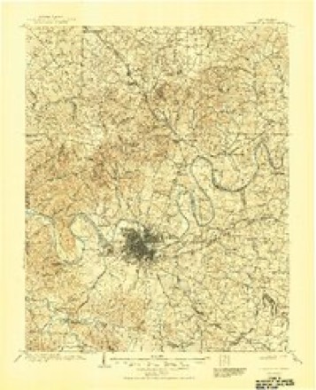
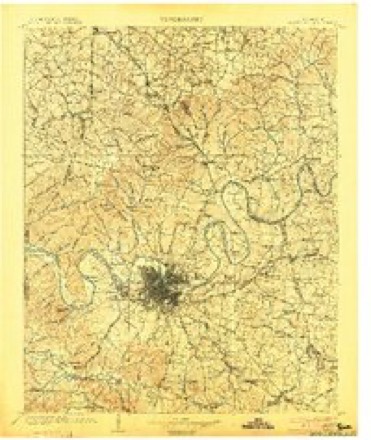
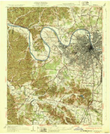
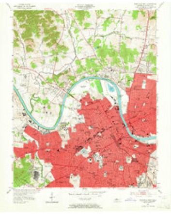
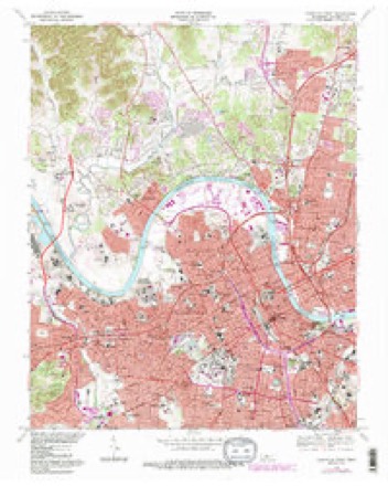
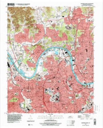
17 topographic sheets cover this place, the earliest surveyed in 1903 and the latest in 1997. It stands in District 2. It lies in ZIP code area 37218. It stands on Drake Branch. The Survey maps it on the Nashville West quadrangle.
Topographic sheets covering this place
9 surveys from 17 printed sheetsMatched by testing this settlement's coordinate against the published boundary of every sheet in the United States Geological Survey's historical collection. Each opens the scanned sheet at the Survey.
- 1903 USGS Greenbrier quadrangle1:125000, 2 printings
- 1903 USGS Nashville quadrangle1:125000, 2 printings
- 1932 USGS Nashville quadrangle1:62500, 2 printings
- 1952 USGS Nashville West quadrangle1:24000, 2 printings
- 1956 USGS Nashville quadrangle1:250000, 2 printings
- 1959 USGS Nashville quadrangle1:250000
- 1968 USGS Nashville West quadrangle1:24000, 4 printings
- 1984 USGS Nashville quadrangle1:100000
- 1997 USGS Nashville West quadrangle1:24000



Fires near this place
1 since 1998Regional context, not property-specific evidence. The federal wildfire occurrence database lists 1 fire within 5 miles of Bordeaux in 1998, burning under an acre in total. None started naturally. None was recorded as arson. Distance is straight-line from the map coordinates, so a fire counted here may appear on a neighbouring settlement's page as well.
| Reported cause | Fires |
|---|---|
| Debris and open burning | 1 |
The most recent of them, most recent first, with the day each was reported and the service that recorded it.
| Date | Cause | Size | Reported by | Name on the report |
|---|---|---|---|---|
| 3 January 1998 | Debris and open burning | under an acre | Tennessee Division of Forestry | not named |
Settlements close enough to share some of these fires:
Mines and quarries near this place
10 within 5 milesRegional context, not property-specific evidence. The federal mineral resources record lists 10 workings within 5 miles of Bordeaux: 6 producers, 2 past producers, 2 plants. 8 still produce. What was taken out: Stone, Crushed/Broken, Clay, Stone, Crushed/Broken, Limestone, General, Sand and Gravel, Construction. Distance is straight-line from the map coordinates, so a quarry counted here may appear on a neighbouring settlement's page as well.
| Where | Site | Commodity | Status | Recorded |
|---|---|---|---|---|
| Herbert Sand Yard | Sand and Gravel, Construction | Producer | ||
| Nashville Plant-Uss Agri-Chemical | Fluorine-Fluorite | Plant | ||
| Eller and Olsen Stone Co. Quarry | Stone, Crushed/Broken, Limestone, General | Producer | Limestone | |
| Nashville Plant | Stone, Crushed/Broken, Limestone, General | Producer | Limestone | |
| Eller and Olsen Stone Co. Quarry | Stone, Crushed/Broken | Producer | ||
| Mat-Nel No. 1 Pit | Clay | Producer | 1950 | |
| Mat-Nel Number 1 Pit | Clay | Past Producer | Sedimentary | |
| Mat-Nel Number 1 Pit | Clay | Past Producer | ||
| Nashville Cement Plant | Stone, Crushed/Broken | Plant | ||
| Nashville Quarry | Stone, Crushed/Broken | Producer |
Storms near this place
16 since 2010Regional context, not property-specific evidence. The National Weather Service names Bordeaux in 16 storm reports between 2010 and 2025: 14 thunderstorm wind, 1 tornado, 1 hail. The reports record 1 death. Each account below is quoted exactly as the forecast office filed it, from the NOAA Storm Events Database, and each date opens the federal record of that event.
| When | Event | Place named | Harm | What the report says |
|---|---|---|---|---|
| January 2013 | Thunderstorm Wind | Bordeaux | 1 killed, $5,000 | A man was killed when a tree fell onto a shed he was taking cover in on Abernathy Road in Bordeaux. |
| August 2018 | Thunderstorm Wind | Bordeaux | $100,000 | A tree fell onto through the middle of a house in northwest Nashville causing severe damage to the home. No injuries. |
| August 2017 | Tornado (EF1) | Bordeaux | $25,000 | A brief EF-1 tornado associated with Tropical Depression Harvey touched down in the Bordeaux area of northwest Nashville and moved to the northwest for over one-half mile. The tornado snapped or uprooted nearly 100 large mature hardwood trees on Hydesdale Lane, Drakes Branch Road, Setters Road, Enchanted Drive, and Queens Lane. A small portion of the roof was blown off a home on Setters Road north of Drakes Branch Road, and the carport of a home was destroyed on Queens Lane. The worst damage was to a wood frame home at 133 Queens Lane where a large portion of the roof was blown off. Maximum winds were estimated to be around 95 mph. |
| March 2023 | Thunderstorm Wind | Bordeaux | $20,000 | Severe thunderstorm winds caused a tree to fall on a house near Youngs Lane and Trinity Lane in north Nashville. Damages are estimated. |
| April 2025 | Thunderstorm Wind | Bordeaux | $10,000 | Severe thunderstorm winds downed several trees in Haynes Park. Damages are a rough estimate. |
| June 2016 | Thunderstorm Wind | Bordeaux | $10,000 | Tree limbs knocked down power lines which caused a fire at the Nashville Community Cares Rehab Facility on Hospital Road. |
| June 2016 | Thunderstorm Wind | Bordeaux | $5,000 | A tree was blown down onto a house at 1105 38th Avenue North. |
| August 2012 | Thunderstorm Wind | Bordeaux | $5,000 | Multiple trees and power lines were blown down in Bordeaux. |
| July 2010 | Thunderstorm Wind | Bordeaux | $5,000 | Trees were downed which resulted in power lines being taken down on Humingbird Drive. |
| August 2021 | Thunderstorm Wind | Bordeaux | $2,000 | A tree was blown down on Kings Lane in Bordeaux. Power lines were also reported blown down in North Nashville. |
| July 2016 | Thunderstorm Wind | Bordeaux | $2,000 | A tree was blown down onto a home on 38th Avenue North at John L. Driver Avenue. |
| June 2023 | Thunderstorm Wind | Bordeaux | $1,000 | Severe thunderstorm winds downed a large tree along Dr. Walter S Davis Road in west Nashville. Damages are a rough estimate. |
| June 2016 | Thunderstorm Wind | Bordeaux | $1,000 | Tree down on Rosa Parks Blvd near Mainstream Drive. |
| May 2018 | Hail | Bordeaux | - | A tSpotter Twitter report and photo showed quarter size hail near Bordeaux. |
| October 2014 | Thunderstorm Wind | Bordeaux | - | A WSMV-TV Weatherbug station measured a wind gust of 66 mph at Tennessee State University. |
| December 2013 | Thunderstorm Wind | Bordeaux | - | A Weatherbug station at Tennessee State University measured a wind gust of 62 mph. |
Nearest settlements
The eight closest, with where each one stands in the county. Distances are straight-line, computed from the Geographic Names Information System coordinates.
| Map | Place | Distance | Sheets |
|---|---|---|---|
| Bordeaux Hills | 1.0 miles | 17 | |
| Jordonia | 2.1 miles | 17 | |
| Buena Vista Estates | 2.3 miles | 17 | |
| Brooklyn Heights | 2.5 miles | 17 | |
| West Nashville | 2.5 miles | 17 | |
| Cumberland Heights | 2.7 miles | 17 | |
| Metropolitan Government of Nashville-Davidson (balance) | 2.9 miles | 17 | |
| Avondale | 3.0 miles | 17 |
Provenance
This settlement is recorded in the Geographic Names Information System as feature 1277996. The sheet list is computed by point-in-boundary test against the United States Geological Survey's historical topographic inventory. Both are works of the United States government and carry no copyright under 17 U.S.C. 105.
Wildfire. Short, Karen C. 2022. Spatial wildfire occurrence data for the United States, 1992-2020 [FPA_FOD_20221014]. 6th Edition. Fort Collins, CO: Forest Service Research Data Archive. https://doi.org/10.2737/RDS-2013-0009.6 Collected with United States Government funding and usable without additional permissions or fees.
Mines and quarries. USGS Mineral Resources Data System (MRDS) https://mrdata.usgs.gov/mrds/ A work of the United States government, no copyright under 17 U.S.C. 105.
Storms. NOAA National Centers for Environmental Information, Storm Events Database https://www.ncei.noaa.gov/stormevents/ A work of the United States government, no copyright under 17 U.S.C. 105. Narratives are quoted verbatim from the National Weather Service report and are not edited or summarised.