 Block
Berry Hill, Tennessee
18 topographic sheets cover this place, the earliest surveyed in 1903 and the latest in 1997. It stands in District 26. It lies in ZIP code area 37204. It stands on East Fork Browns Creek. The Survey maps it on the Oak Hill quadrangle. 2,112 people lived here at the 2020 count. It stands 535 feet above sea level.
On record in Berry Hill
Buildings and businesses the archive holds for this place. Each opens its own page, with the source record it came from.
On the National Register within a mile 1 record
The National Register names another town for these. They stand within one mile of this settlement's coordinate.
- Glen Levenlisted 2008 · 1.0 miles away
Population over time
2 figuresBerry Hill grew from 537 to 2,112 between 2010 and 2020. These are the recorded population figures Wikidata holds for this place, reached through the Geographic Names Information System number this page is keyed on rather than by name, so they belong to this place and not to another of the same name. Most are census counts, but not all are: an early figure may be a founding or settlement estimate, and an estimate published within five years of a census is left out. The change column is computed, and is left blank where more than 20 years separate a figure from the one before it, because a gap that long is not a change between two counts.
| Year | People | Change |
|---|---|---|
| 2010 | 537 | |
| 2020 | 2,112 | +1,575 (+293%) |
Topographic sheets covering this place
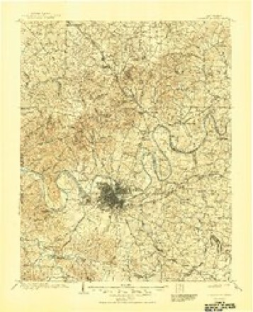
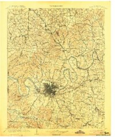
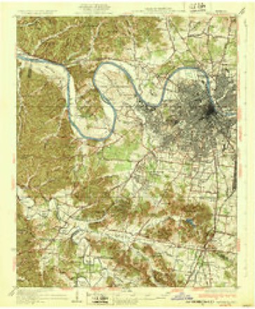
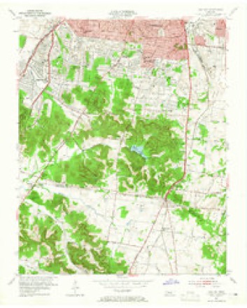
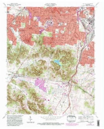
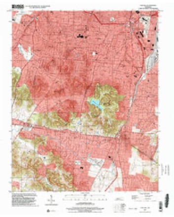
9 surveys from 18 printed sheetsMatched by testing this settlement's coordinate against the published boundary of every sheet in the United States Geological Survey's historical collection. Each opens the scanned sheet at the Survey.
- 1903 USGS Greenbrier quadrangle1:125000, 2 printings
- 1903 USGS Nashville quadrangle1:125000, 2 printings
- 1932 USGS Nashville quadrangle1:62500, 2 printings
- 1953 USGS Oak Hill quadrangle1:24000, 2 printings
- 1956 USGS Nashville quadrangle1:250000, 2 printings
- 1959 USGS Nashville quadrangle1:250000
- 1968 USGS Oak Hill quadrangle1:24000, 5 printings
- 1984 USGS Nashville quadrangle1:100000
- 1997 USGS Oak Hill quadrangle1:24000



Fires near this place
3 since 1998Regional context, not property-specific evidence. The federal wildfire occurrence database lists 3 fires within 5 miles of Berry Hill between 1998 and 2005, burning about 10 acres in total. None started naturally. None was recorded as arson. Distance is straight-line from the map coordinates, so a fire counted here may appear on a neighbouring settlement's page as well.
| Reported cause | Fires |
|---|---|
| Debris and open burning | 3 |
The most recent of them, most recent first, with the day each was reported and the service that recorded it.
| Date | Cause | Size | Reported by | Name on the report |
|---|---|---|---|---|
| 13 September 2002 | Debris and open burning | 3.0 acres | Tennessee Division of Forestry | not named |
| 3 January 1998 | Debris and open burning | under an acre | Tennessee Division of Forestry | not named |
| 25 January 2005 | Debris and open burning | 7.0 acres | Tennessee Division of Forestry | not named |
Settlements close enough to share some of these fires:
Mines and quarries near this place
10 within 5 milesRegional context, not property-specific evidence. The federal mineral resources record lists 10 workings within 5 miles of Berry Hill: 5 past producers, 3 producers, 2 plants. 5 still produce. What was taken out: Clay, Stone, Crushed/Broken, Limestone, General, Sand and Gravel, Construction. Distance is straight-line from the map coordinates, so a quarry counted here may appear on a neighbouring settlement's page as well.
| Where | Site | Commodity | Status | Recorded |
|---|---|---|---|---|
| Herbert Sand Yard | Sand and Gravel, Construction | Producer | ||
| Nashville Plant-Uss Agri-Chemical | Fluorine-Fluorite | Plant | ||
| Derryberry Construction Bo. Quarry | Limestone, General | Past Producer | Sedimentary | |
| Glencliff Quarry | Limestone, General | Past Producer | Sedimentary | |
| Derryberry Construction Bo. Quarry | Stone, Crushed/Broken | Past Producer | ||
| Glencliff Quarry | Stone, Crushed/Broken | Producer | ||
| Mat-Nel No. 1 Pit | Clay | Producer | 1950 | |
| Mat-Nel Number 1 Pit | Clay | Past Producer | Sedimentary | |
| Mat-Nel Number 1 Pit | Clay | Past Producer | ||
| Nashville Cement Plant | Stone, Crushed/Broken | Plant |
Storms near this place
38 since 2007Regional context, not property-specific evidence. The National Weather Service names Berry Hill in 38 storm reports between 2007 and 2025: 23 thunderstorm wind, 6 hail, 5 flash flood, 2 heavy rain. No death or injury is recorded in these reports. Each account below is quoted exactly as the forecast office filed it, from the NOAA Storm Events Database, and each date opens the federal record of that event.
| When | Event | Place named | Harm | What the report says |
|---|---|---|---|---|
| March 2012 | Hail | Berry Hill | $25,000,000 | no account filed |
| July 2010 | Heavy Rain | Berry Hill | $150,000 | Two Warren County ambulance medics were injured when their vehicle hydroplanned on Interstate 440 near Nolensville Road in Nashville. The ambulance, which was traveling east back toward Warren County, slid into the median, crashed over the guardrail between lanes, and vaulted into the oncoming westbound lanes. It came to rest on its side. Investigators believed that heavy rain contributed to the accident, noting the ambulance was traveling at normal highway speeds when the crash occurred. The abulance was deemed a total loss. There were two people were in the ambulance. The ambulance driver recieved bone fractures but was in stable condition at the time of this report. Type and amount of bone fractures were not provided. The other paramedic was treated and released from Vanderbilt Hospital that evening. Details concerning type and extent of injury for this paramedic were not provided. |
| March 2012 | Hail | Berry Hill | $50,000 | Hail up to golf ball size was reported at the Nashville Emergency Operations Center. At least two dozen vehicles were damaged. |
| June 2010 | Thunderstorm Wind | Berry Hill | $50,000 | Several trees were blown down or snapped in the western and southern portions of the county, including at Trevecca Univeristy on Murfreesboro road. Reports were continuous received from 438 PM to 445 PM. |
| September 2015 | Lightning | Berry Hill | $25,000 | A trained spotter reported that lightning struck the Iglesia de Cristo Grandview Church on Nolensville Road just south of I-440. Extensive electrical damage occurred to the interior of the building. |
| May 2011 | Thunderstorm Wind | Berry Hill | $25,000 | Several trees and power lines were downed, along with damage to a section of a roof of a building, near the intersection of Polk Avenue and Fesslers Lane. Specific details concerning what type of building received this roof damage and associated damage costs were unknown. Some trees were also downed in Hermitage. |
| May 2025 | Thunderstorm Wind | Berry Hill | $10,000 | Severe thunderstorm winds downed powerlines in the Berry Hill area, causing power outages to 10,000 customers. Damages are a rough estimate. |
| April 2011 | Thunderstorm Wind | Berry Hill | $10,000 | Several trees were downed in the 100 Oaks Mall area. |
| May 2025 | Thunderstorm Wind | Berry Hill | $5,000 | Severe thunderstorm winds downed trees on the University of Belmont campus near Belmont Boulevard and Ashwood Avenue. Damages are a rough estimate. |
| March 2021 | Thunderstorm Wind | Berry Hill | $5,000 | TSpotter report of a large tree down on a home off of Elliott Avenue and Inverness Avenue. |
| July 2018 | Lightning | Berry Hill | $5,000 | Lightning struck a house at 1104 Clifton Lane causing minor damage. |
| May 2012 | Thunderstorm Wind | Berry Hill | $5,000 | A few small trees were downed near the intersection of 8th Avenue South and Wedgewood Avenue. |
| September 2016 | Thunderstorm Wind | Berry Hill | $3,000 | A Facebook photo showed a tree was blown down onto a car at 18th Avenue South at Magnolia Boulevard. |
| December 2016 | Thunderstorm Wind | Berry Hill | $3,000 | Three large trees were blown down on Franklin Road south of Tyne Road. |
| April 2025 | Thunderstorm Wind | Berry Hill | $2,000 | Severe thunderstorm winds downed a tree onto a Shell Gas Station on 8th Avenue in Nashville. Damages are a rough estimate. |
| July 2023 | Thunderstorm Wind | Berry Hill | $1,000 | Severe thunderstorm winds snapped a tree along Thompson Lane in Berry Hill. Damages are a rough estimate. |
| August 2023 | Thunderstorm Wind | Berry Hill | $1,000 | Severe thunderstorm winds downed a large oak tree along Robin Road in Oak Hill. Damages are a rough estimate. |
| August 2023 | Thunderstorm Wind | Berry Hill | $1,000 | Severe thunderstorm winds downed a tree at 12 South Farmers Market in Berry Hill. Damages are a rough estimate. |
| June 2022 | Thunderstorm Wind | Berry Hill | $1,000 | A tree was blown down on 21st Avenue between Linden Avenue and Sunset Place. |
| August 2019 | Thunderstorm Wind | Berry Hill | $1,000 | A tree was blown down that blocked Caldwell Lane between Caldwell Court and General Bate Drive. |
| June 2018 | Thunderstorm Wind | Berry Hill | $1,000 | A Facebook photo indicated a large tree limb was blown down on Music Row near Wedgewood Avenue. |
| June 2016 | Thunderstorm Wind | Berry Hill | $1,000 | Photo showed a large tree blown down. |
| July 2016 | Thunderstorm Wind | Berry Hill | $1,000 | A tSpotter Twitter report indicated a large tree was snapped onto playground equipment in Reservoir Park. |
| July 2015 | Thunderstorm Wind | Berry Hill | $1,000 | WSMV-TV reported a tree blown down on Woodmont Blvd at Granny White Pike. |
| March 2025 | Flash Flood | Berry Hill | - | Heavy rain in the Berry Hill area caused flooding at I-440 and Nolensville Pike. Extent of damages are unknown. |
| February 2025 | Flash Flood | Berry Hill | - | Heavy rain in the Nashville area caused flooding at Sidco Drive and Armory Drive. Damages are unknown. |
| April 2025 | Flash Flood | Berry Hill | - | Heavy rain from a stationary thunderstorm over Nashville caused flash flooding on Nolensville Pike with reports of cars stuck in floodwaters. Extent of damages is unknown. |
| April 2025 | Thunderstorm Wind | Berry Hill | - | A weather station at Vanderbilt University measured a 58 mph thunderstorm wind gust. |
| February 2019 | Heavy Rain | Berry Hill | - | CoCoRaHS station Berry Hill 1.6 WNW measured a 24 hour rainfall total of 6.11 inches. |
| February 2019 | Flash Flood | Berry Hill | - | Rising water on Percy Priest Lake resulted in water rescues from Four Corners marina, as several docks went underwater with multiple people stuck on boats. Flooding was also reported on the I-65S at Harding Place exit ramp. |
| July 2019 | Flash Flood | Berry Hill | - | Several parking lots were flooded in Berry Hill. |
| March 2012 | Thunderstorm Wind | Berry Hill | - | A wind gust of 82 mph was measured by a sensor on top of Vanderbilt Medical Center in Nashville. |
| April 2012 | Hail | Berry Hill | - | Hail up to quarter size was reported at Nolensville Road and Rosedale Road. |
| May 2010 | Thunderstorm Wind | Berry Hill | - | Thunderstorm wind gust estimated at 65 mph was reported at the Tennessee Emergency Operations Center in Nashville. |
| January 2008 | Hail | Berry Hill | - | Spotter reported golf ball size hail. Newspaper story stated that 5,500 people were without electric power in the Nashville area because of the thunderstorm. |
| October 2007 | Thunderstorm Wind | Berry Hill | - | Davidson County OEM official reported 73 mph wind gust with hand held anemometer at I-65 and Harding Road. |
| March 2012 | Hail | Berry Hill | - | no account filed |
| April 2011 | Hail | Berry Hill | - | no account filed |
Nearest settlements
The eight closest, with where each one stands in the county. Distances are straight-line, computed from the Geographic Names Information System coordinates.
| Map | Place | Distance | Sheets |
|---|---|---|---|
| Woodbine | 1.2 miles | 19 | |
| Radnor | 1.5 miles | 19 | |
| Glendale Park | 1.7 miles | 18 | |
| Oak Hill | 2.2 miles | 18 | |
| Jimtown (historical) | 2.2 miles | 21 | |
| Glencliff | 2.6 miles | 19 | |
| Green Hills | 2.8 miles | 18 | |
| Curry (historical) | 2.9 miles | 19 |
Elsewhere
Matched on this settlement's Geographic Names Information System number rather than its name, so it cannot be a different place of the same name in another state.
| Wikipedia article on Berry Hill | An encyclopaedic summary. Its text is share-alike, so it is linked here rather than copied. |
| Wikidata item Q1960234 | The structured record the population and elevation above come from. Public domain (CC0). |
Provenance
This settlement is recorded in the Geographic Names Information System as feature 1277057. The sheet list is computed by point-in-boundary test against the United States Geological Survey's historical topographic inventory. Both are works of the United States government and carry no copyright under 17 U.S.C. 105.
Wildfire. Short, Karen C. 2022. Spatial wildfire occurrence data for the United States, 1992-2020 [FPA_FOD_20221014]. 6th Edition. Fort Collins, CO: Forest Service Research Data Archive. https://doi.org/10.2737/RDS-2013-0009.6 Collected with United States Government funding and usable without additional permissions or fees.
Mines and quarries. USGS Mineral Resources Data System (MRDS) https://mrdata.usgs.gov/mrds/ A work of the United States government, no copyright under 17 U.S.C. 105.
Storms. NOAA National Centers for Environmental Information, Storm Events Database https://www.ncei.noaa.gov/stormevents/ A work of the United States government, no copyright under 17 U.S.C. 105. Narratives are quoted verbatim from the National Weather Service report and are not edited or summarised.