 Block
Deason, Tennessee
12 topographic sheets cover this place, the earliest surveyed in 1936 and the latest in 1985. It stands in District 2. It lies in ZIP code area 37160. It lies near Ransom Hill. The Survey maps it on the Deason quadrangle.
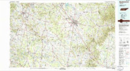
Topographic sheets covering this place
6 surveys from 12 printed sheetsMatched by testing this settlement's coordinate against the published boundary of every sheet in the United States Geological Survey's historical collection. Each opens the scanned sheet at the Survey.
- 1936 USGS Deason quadrangle1:24000
- 1944 USGS Shelbyville quadrangle1:100000
- 1951 USGS Deason quadrangle1:24000
- 1956 USGS Columbia quadrangle1:250000, 6 printings
- 1966 USGS Deason quadrangle1:24000, 2 printings
- 1985 USGS Murfreesboro quadrangle1:100000
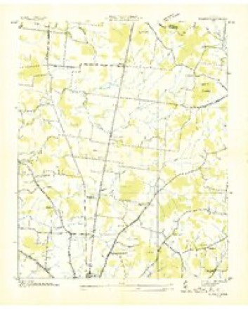
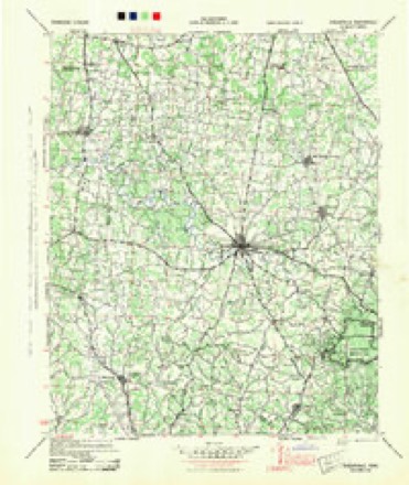
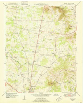

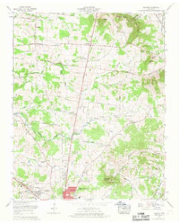
Mines and quarries near this place
1 within 5 milesRegional context, not property-specific evidence. The federal mineral resources record lists 1 working within 5 miles of Deason: 1 past producer. None of them still produces. What was taken out: Iron. Distance is straight-line from the map coordinates, so a quarry counted here may appear on a neighbouring settlement's page as well.
| Where | Site | Commodity | Status | Recorded |
|---|---|---|---|---|
| Jenkins Branch Mine | Iron | Past Producer |
Storms near this place
9 since 1997Regional context, not property-specific evidence. The National Weather Service names Deason in 9 storm reports between 1997 and 2023: 7 thunderstorm wind, 1 hail, 1 funnel cloud. No death or injury is recorded in these reports. Each account below is quoted exactly as the forecast office filed it, from the NOAA Storm Events Database, and each date opens the federal record of that event.
| When | Event | Place named | Harm | What the report says |
|---|---|---|---|---|
| March 2017 | Thunderstorm Wind | Deason | $15,000 | An intense 1/2 mile long by 1/4 mile wide microburst affected areas along Highway 231 just north of Deason in association with a mesovortex on radar. Two barns suffered considerable roof damage and a large tree was uprooted to the northeast around a home on the west side of Highway 231 north of Joywood Trailer Park Road. A mobile home was also significantly damaged on the east side of Highway 231. Two large outbuildings were destroyed at the Joy Vail Allman Farm on the east side of Highway 231, and several trees were snapped and uprooted. Winds were estimated up to 80 mph. |
| June 2013 | Thunderstorm Wind | Deason | $15,000 | A NWS Storm Survey found that damage along Minkslide Road and Highway 82 was due to a microburst. Dozens of large trees were uprooted with smaller trees snapped. Outbuildings suffered minor to moderate roof damage and homes had minor exterior damage. Some trees fell onto homes causing more substantial damage. Winds were estimated between 70 and 75 mph. |
| May 2021 | Thunderstorm Wind | Deason | $10,000 | A large barn was destroyed and another barn had its roof partially blown off at Gilmore Livestock on Highway 231. |
| March 2017 | Thunderstorm Wind | Deason | $10,000 | A few homes, businesses, and barns suffered minor roof damage along Highway 231 at the Bedford/Rutherford County line. Several trees were also snapped and uprooted. |
| March 2017 | Thunderstorm Wind | Deason | $8,000 | Numerous cedar trees were snapped and uprooted in a northeast direction on both the north and south sides of Edd Joyce Road. |
| March 2017 | Thunderstorm Wind | Deason | $3,000 | A Facebook photo showed a large tree uprooted partially onto a home on the northeast corner of Highway 231 and Edd Joyce Road in Deason. |
| August 2011 | Thunderstorm Wind | Deason | $2,000 | Two trees were blown down on Coop Road. |
| August 2023 | Funnel Cloud | Deason | - | Social media users reported a funnel cloud along the Rutherford and Bedford county line. |
| April 1997 | Hail | Deason | - | Local law enforcement reported dime to nickel size hail. |
Nearest settlements
The eight closest, with where each one stands in the county. Distances are straight-line, computed from the Geographic Names Information System coordinates.
| Map | Place | Distance | Sheets |
|---|---|---|---|
| Vannatta | 2.6 miles | 12 | |
| Bell Buckle | 4.4 miles | 12 | |
| Longview | 5.6 miles | 13 | |
| Beechwood | 6.2 miles | 14 | |
| Fall Creek | 6.2 miles | 14 | |
| Carter Crossroads | 6.5 miles | 13 | |
| Anchor Mill | 6.8 miles | 14 | |
| Elbethel | 6.9 miles | 14 |
Elsewhere
Matched on this settlement's Geographic Names Information System number rather than its name, so it cannot be a different place of the same name in another state.
| Wikidata item Q122597978 | The structured record the population and elevation above come from. Public domain (CC0). |
Provenance
This settlement is recorded in the Geographic Names Information System as feature 1282269. The sheet list is computed by point-in-boundary test against the United States Geological Survey's historical topographic inventory. Both are works of the United States government and carry no copyright under 17 U.S.C. 105.
Mines and quarries. USGS Mineral Resources Data System (MRDS) https://mrdata.usgs.gov/mrds/ A work of the United States government, no copyright under 17 U.S.C. 105.
Storms. NOAA National Centers for Environmental Information, Storm Events Database https://www.ncei.noaa.gov/stormevents/ A work of the United States government, no copyright under 17 U.S.C. 105. Narratives are quoted verbatim from the National Weather Service report and are not edited or summarised.