 Block
Longview, Tennessee
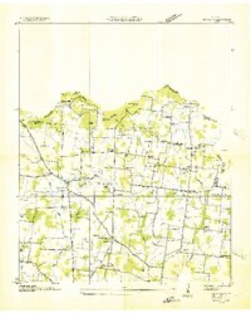
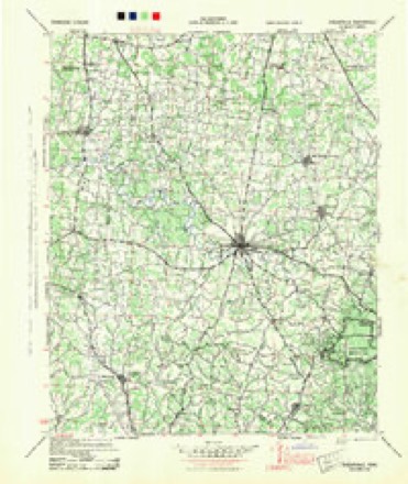
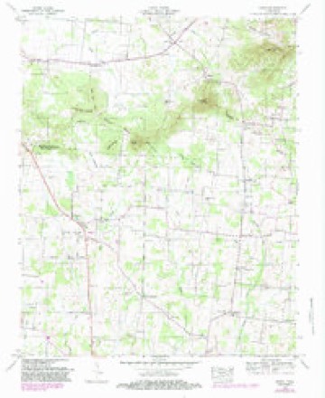
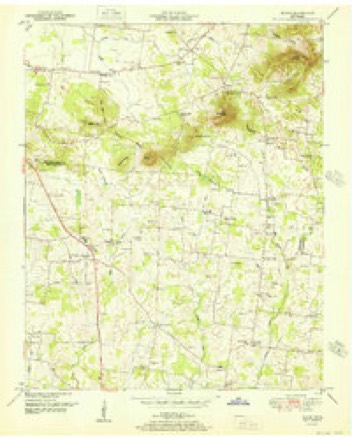
13 topographic sheets cover this place, the earliest surveyed in 1936 and the latest in 1985. It stands in District 2. It lies in ZIP code area 37020. It stands on Dolly Branch. The Survey maps it on the Rover quadrangle.
Topographic sheets covering this place
6 surveys from 13 printed sheetsMatched by testing this settlement's coordinate against the published boundary of every sheet in the United States Geological Survey's historical collection. Each opens the scanned sheet at the Survey.
- 1936 USGS Rover quadrangle1:24000
- 1944 USGS Shelbyville quadrangle1:100000
- 1949 USGS Rover quadrangle1:24000, 3 printings
- 1951 USGS Rover quadrangle1:24000
- 1956 USGS Columbia quadrangle1:250000, 6 printings
- 1985 USGS Murfreesboro quadrangle1:100000

Fires near this place
2 since 1998Regional context, not property-specific evidence. The federal wildfire occurrence database lists 2 fires within 5 miles of Longview between 1998 and 2011, burning about 7 acres in total. None started naturally. None was recorded as arson. Distance is straight-line from the map coordinates, so a fire counted here may appear on a neighbouring settlement's page as well.
| Reported cause | Fires |
|---|---|
| Power generation/transmission/distribution | 1 |
| Debris and open burning | 1 |
The most recent of them, most recent first, with the day each was reported and the service that recorded it.
| Date | Cause | Size | Reported by | Name on the report |
|---|---|---|---|---|
| 6 August 1998 | Debris and open burning | 4.1 acres | Tennessee Division of Forestry | not named |
| 15 February 2011 | Power generation/transmission/distribution | 2.5 acres | Tennessee Division of Forestry | HICKORY HILL |
Settlements close enough to share some of these fires:
Mines and quarries near this place
1 within 5 milesRegional context, not property-specific evidence. The federal mineral resources record lists 1 working within 5 miles of Longview: 1 past producer. None of them still produces. What was taken out: Iron. Distance is straight-line from the map coordinates, so a quarry counted here may appear on a neighbouring settlement's page as well.
| Where | Site | Commodity | Status | Recorded |
|---|---|---|---|---|
| Jenkins Branch Mine | Iron | Past Producer |
Storms near this place
4 since 2018Regional context, not property-specific evidence. The National Weather Service names Longview in 4 storm reports between 2018 and 2025: 2 tornado, 1 flood, 1 thunderstorm wind. No death or injury is recorded in these reports. Each account below is quoted exactly as the forecast office filed it, from the NOAA Storm Events Database, and each date opens the federal record of that event.
| When | Event | Place named | Harm | What the report says |
|---|---|---|---|---|
| March 2025 | Tornado (EF1) | Longview | $500,000 | An EF-1 tornado first touched down in far northwest Bedford County near Carter Crossroads on Kingdom Road. At this location, a half dozen outbuildings, storage buildings, and barns were damaged or destroyed. The tornado continued east-northeast where some minor damage occurred to homes along Longview Road. Garage doors were blown in, fences were knocked down, outbuildings were destroyed, and minor roof damage was observed. The tornado then continued into far southwest Rutherford County. Damages are a rough estimate. |
| November 2018 | Tornado (EF2) | Longview | $400,000 | The Christiana tornado first touched down in far northern Bedford County southwest of Kimmons Road at Longview Road, damaging an outbuilding and blowing down a few trees. This small but very intense tornado moved northeast and quickly increased in intensity to EF-2 as it approached the Bedford/Rutherford County line, severely damaging two homes on the south side of Kingdom Road/Midland Fosterville Road. The tornado then crossed the road into Rutherford County, where a small but well-built brick home had its roof blown off and brick walls blown in. One wall fell onto the homeowner causing minor injuries. Further to the northeast on Williams Road, one barn was heavily damaged and another completely destroyed. The narrow but strong EF-2 tornado continued northeast, carving a well-defined path through forests before striking a new 3000 square foot home on the west side of Midland Crescent Road. This large house, which was poorly attached to its cinder-block foundation, was lifted almost completely intact, flipped upside down, and rotated 90 degrees as it was blown to the north-northwest. One woman inside the home was killed. Numerous trees continued to be blown down further to the northeast across Jones Road. Upon reaching Rock Springs Midland Road, another home that was built in the 1800s took a direct hit from the tornado, losing its roof and all of the third story. The homeowners inside received the warning and took appropriate shelter on the lowest floor, escaping uninjured. Two silos and a barn just north of the home were de-roofed, and several nearby trees were blown down. Curving more to the east-northeast, two 70 foot-tall silos and two sheet metal barns located northwest of Rock Springs Midland Road at Gray Fox Drive were completely destroyed. Another smaller barn was destroyed and adjacent home received roof damage north of Eagle Creek Road. As the tornado crossed a northward bend in Rock Springs Road, a detached garage was completely destroyed while a home suffered minor roof damage. Further to the east, an outbuilding and mobile home were heavily damaged, with debris being blown up to 200 yards to the east. The tornado continued east-northeast, causing minor exterior damage to a home and damaging the roof of a barn. Approaching Rock Springs Midland Road, the tornado completely destroyed a small home on the south side of the roadway, with debris being blown in a cyclonic curved path 200 yards off to the east. The tornado finally weakened to EF-1 as it crossed Rock Springs Midland Road yet again, overturning an old, small mobile home on the north side of the road just west of Highway 231. Two women inside the mobile home were injured. The final damage occurred on Christiana Fosterville Road just one-quarter mile south of Christiana, where part of the roof of a barn was blown off and several trees were blown down. The total path length for this tornado in both Bedford and Rutherford Counties was 8.61 miles. |
| March 2025 | Thunderstorm Wind | Longview | $10,000 | A tornadic thunderstorm caused damage to a powerline and a tree at the intersection of Longview Road and Pepper Hill near Unionville. Damages are a rough estimate. |
| December 2022 | Flood | Longview | - | Minor flooding was reported in Unionville along Squire Jones Road and Sudberry Road. |
Nearest settlements
The eight closest, with where each one stands in the county. Distances are straight-line, computed from the Geographic Names Information System coordinates.
| Map | Place | Distance | Sheets |
|---|---|---|---|
| Carter Crossroads | 1.9 miles | 13 | |
| Taylor Crossroads | 2.2 miles | 13 | |
| Walnut Grove | 2.9 miles | 13 | |
| Vannatta | 3.1 miles | 12 | |
| Newtown | 3.4 miles | 13 | |
| Unionville | 3.6 miles | 14 | |
| Rover | 4.2 miles | 13 | |
| Poplins Crossroads | 5.1 miles | 14 |
Provenance
This settlement is recorded in the Geographic Names Information System as feature 1315434. The sheet list is computed by point-in-boundary test against the United States Geological Survey's historical topographic inventory. Both are works of the United States government and carry no copyright under 17 U.S.C. 105.
Wildfire. Short, Karen C. 2022. Spatial wildfire occurrence data for the United States, 1992-2020 [FPA_FOD_20221014]. 6th Edition. Fort Collins, CO: Forest Service Research Data Archive. https://doi.org/10.2737/RDS-2013-0009.6 Collected with United States Government funding and usable without additional permissions or fees.
Mines and quarries. USGS Mineral Resources Data System (MRDS) https://mrdata.usgs.gov/mrds/ A work of the United States government, no copyright under 17 U.S.C. 105.
Storms. NOAA National Centers for Environmental Information, Storm Events Database https://www.ncei.noaa.gov/stormevents/ A work of the United States government, no copyright under 17 U.S.C. 105. Narratives are quoted verbatim from the National Weather Service report and are not edited or summarised.