 Block
Ewingville, Tennessee
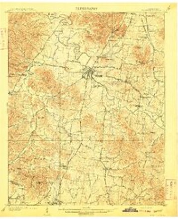
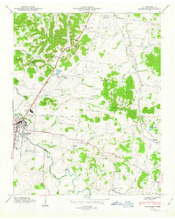
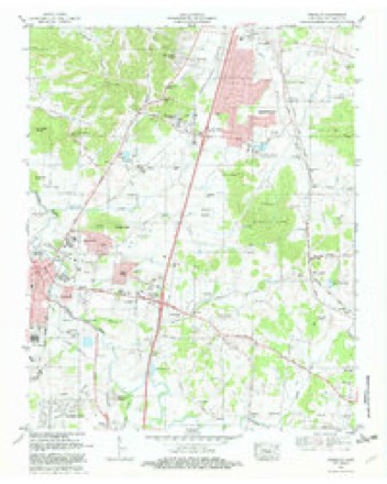
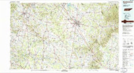
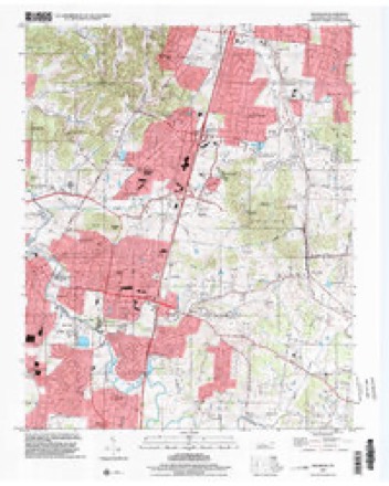
15 topographic sheets cover this place, the earliest surveyed in 1909 and the latest in 1997. It stands in District 10. It lies in ZIP code area 37064. It stands on North Ewingville Creek. The Survey maps it on the Franklin quadrangle.
On record in Ewingville
Buildings and businesses the archive holds for this place. Each opens its own page, with the source record it came from.
On the National Register within a mile 12 of 16 shown
The National Register names another town for these. They stand within one mile of this settlement's coordinate.
 Hiram Masonic Lodge No. 7National Historic Landmark · listed 1973 · 0.8 miles away
 Andrew C. Vaughn Houselisted 1988 · 0.2 miles away
 Fort Grangerlisted 1973 · 0.3 miles away
 Franklin Historic District (Boundary Increase)listed 1988 · 0.5 miles away
 Franklin Historic District (Boundary Increase)listed 2000 · 0.5 miles away
 Winstead Houselisted 1979 · 0.6 miles away
 Cox Houselisted 1980 · 0.6 miles away
 Franklin Historic Districtlisted 1972 · 0.7 miles away
 Lewisburg Avenue Historic Districtlisted 1988 · 0.7 miles away
 Alpheus Truett Houselisted 1988 · 0.7 miles away
 Henry H. Mayberry Houselisted 1988 · 0.8 miles away
 St. Paul's Episcopal Churchlisted 1972 · 0.8 miles away
Topographic sheets covering this place
6 surveys from 15 printed sheetsMatched by testing this settlement's coordinate against the published boundary of every sheet in the United States Geological Survey's historical collection. Each opens the scanned sheet at the Survey.
- 1909 USGS Franklin quadrangle1:62500, 2 printings
- 1949 USGS Franklin quadrangle1:24000, 3 printings
- 1956 USGS Columbia quadrangle1:250000, 6 printings
- 1981 USGS Franklin quadrangle1:24000, 2 printings
- 1985 USGS Murfreesboro quadrangle1:100000
- 1997 USGS Franklin quadrangle1:24000

Fires near this place
1 since 2008Regional context, not property-specific evidence. The federal wildfire occurrence database lists 1 fire within 5 miles of Ewingville in 2008, burning about 28 acres in total. None started naturally. None was recorded as arson. Distance is straight-line from the map coordinates, so a fire counted here may appear on a neighbouring settlement's page as well.
| Reported cause | Fires |
|---|---|
| Railroad operations and maintenance | 1 |
The most recent of them, most recent first, with the day each was reported and the service that recorded it.
| Date | Cause | Size | Reported by | Name on the report |
|---|---|---|---|---|
| 18 September 2008 | Railroad operations and maintenance | 28 acres | Tennessee Division of Forestry | not named |
Settlements close enough to share some of these fires:
Mines and quarries near this place
10 of 62 shownRegional context, not property-specific evidence. The federal mineral resources record lists 62 workings within 5 miles of Ewingville: 25 past producers, 17 unknowns, 11 producers, 5 prospects. 11 still produce. What was taken out: Phosphorus-Phosphates, Stone, Crushed/Broken, Stone, Crushed/Broken, Limestone, General, Aluminum. Distance is straight-line from the map coordinates, so a quarry counted here may appear on a neighbouring settlement's page as well.
| Where | Site | Commodity | Status | Recorded |
|---|---|---|---|---|
| Tillman No 113 | Aluminum, Phosphorus-Phosphates | Past Producer | ||
| Franklin Plant | Stone, Crushed/Broken, Limestone, General | Producer | Limestone | |
| Williamson County Highway Department Quarry | Stone, Crushed/Broken, Limestone, General | Producer | Limestone | |
| Franklin Pit & Plant | Stone, Crushed/Broken | Past Producer | ||
| Franklin Quarry | Stone, Crushed/Broken | Producer | ||
| Globe Quarry | Stone, Crushed/Broken | Producer | ||
| Amos | Phosphorus-Phosphates | Producer | 1920 | |
| Anthony Pit | Phosphorus-Phosphates | Past Producer | ||
| Anthony Pit | Phosphorus-Phosphates | Past Producer | ||
| Battlefield Hood #862 | Phosphorus-Phosphates | Occurrence |
Storms near this place
26 since 2010Regional context, not property-specific evidence. The National Weather Service names Ewingville in 26 storm reports between 2010 and 2025: 13 thunderstorm wind, 6 hail, 3 flash flood, 2 tornado. No death or injury is recorded in these reports. Each account below is quoted exactly as the forecast office filed it, from the NOAA Storm Events Database, and each date opens the federal record of that event.
| When | Event | Place named | Harm | What the report says |
|---|---|---|---|---|
| August 2023 | Tornado (EF0) | Ewingville | $100,000 | A brief, weak EF0 tornado touched down 1.2 miles northeast of downtown Franklin and moved southeast before lifting near Highway 96 at Royal Oaks Boulevard. The main damage was numerous trees being blown down along the intermittent damage path with some falling onto homes. A few homes suffered minor roof and exterior damage near the beginning of the path between Sycamore Drive and Chestnut Lane, and some businesses had minor roof and exterior damage along Highway 96. Maximum winds with this tornado were estimated 75 mph. Damages are a rough estimate. |
| January 2013 | Tornado (EF0) | Ewingville | $100,000 | An EF0 tornado touched down west of Fort Granger Drive just to the east of downtown Franklin. Two businesses on Fort Granger drive and two others on Eddy Lane received roof and siding damage with sheet metal blown into adjacent forests and fields. A pavilion was damaged by a falling tree at Liberty Elementary School. Several homes and a church had minor roof damage along Liberty Pike, Cadet Lane, and Flintlock Drive. Additional homes received minor roof and siding damage in the Liberty Hills Drive area including on Sedgewick Place before the tornado lifted. |
| May 2010 | Flash Flood | Ewingville | $25,000 | Yorktown Drive off of State Highway 96 had a water depth of about 3 inches on the roadway as a result of a small creek overflowing its banks. |
| August 2023 | Thunderstorm Wind | Ewingville | $20,000 | Severe thunderstorm winds downed several trees near The Factory at Franklin along Liberty Pike. One of these fallen trees crushed a shed. Damages are a rough estimate. |
| July 2016 | Thunderstorm Wind | Ewingville | $10,000 | A large tree fell onto a house on 11th Avenue North at Boyd Mill Avenue near downtown Franklin. The house suffered significant damage to the roof and siding, and a fence was knocked down. |
| June 2015 | Lightning | Ewingville | $10,000 | A house fire occurred at 108 Gallagher Drive in Franklin due to a lightning strike. |
| February 2014 | Thunderstorm Wind | Ewingville | $10,000 | Several trees were blown down onto six vehicles at an apartment complex on Magnolia Drive. |
| April 2017 | Flood | Ewingville | $5,000 | TSpotter Twitter reports and photos showed a car stranded in high water in a parking lot with poor drainage at The Factory in Franklin on Liberty Pike at Franklin Road. One person had to be rescued from the vehicle. High water also surrounded a home on Hillsboro Road due to road construction blocking drainage. |
| April 2017 | Thunderstorm Wind | Ewingville | $3,000 | Trees and power lines were blown down on Murfreesboro Road between Margin Street and Eddy Lane near downtown Franklin. |
| October 2014 | Thunderstorm Wind | Ewingville | $3,000 | Church Street at 5th Street was closed due to large tree branches in the roadway and a tree on power lines. |
| August 2012 | Thunderstorm Wind | Ewingville | $3,000 | Trees were blown down on 11th Avenue North in Franklin. |
| April 2017 | Thunderstorm Wind | Ewingville | $2,000 | A tSpotter Twitter photo showed a large tree was uprooted which crushed a small trailer on Everbright Avenue. |
| June 2023 | Thunderstorm Wind | Ewingville | $1,000 | Severe thunderstorm winds downed large tree limbs onto a deck in downtown Franklin. Damages are estimated. |
| April 2017 | Thunderstorm Wind | Ewingville | $1,000 | A tSpotter Twitter photo showed a large tree was uprooted in Pinkerton Park. |
| September 2016 | Thunderstorm Wind | Ewingville | $1,000 | A Twitter report indicated a large tree was blown down and blocked west Main Street at Forrest Street in Franklin. |
| July 2016 | Thunderstorm Wind | Ewingville | $1,000 | A large tree branch was down at Franklin Road and Lancaster Drive. |
| June 2014 | Thunderstorm Wind | Ewingville | $1,000 | A tree was blown down on Carnton Lane blocking the roadway. |
| May 2025 | Hail | Ewingville | - | Estimated two-inch hail was reported in Franklin. |
| May 2025 | Hail | Ewingville | - | Golf ball size hail was reported at the Public Safety Center on Beasley Street in Franklin. |
| May 2025 | Hail | Ewingville | - | Golf ball size hail was reported near Mack Hatcher Road and Lewisburg Pike near Franklin. |
| July 2022 | Hail | Ewingville | - | Social media reports indicated quarter size hail fell in downtown Franklin. |
| February 2019 | Flash Flood | Ewingville | - | Media reports indicated Kidd Road in Nolensville was underwater in multiple places, and Chestnut Lane at Maple Drive in Franklin was closed due to flooding. |
| June 2018 | Hail | Ewingville | - | A Twitter tSpotter photo showed quarter size hail fell in south Franklin. |
| June 2018 | Hail | Ewingville | - | A tSpotter Twitter report indicated dime size hail fell on 1st Avenue South at Church Street in downtown Franklin. |
| April 2017 | Flash Flood | Ewingville | - | Aerial imagery showed extensive flooding near the Carnton Plantation in Franklin with some roads in the area under water. |
| January 2013 | Thunderstorm Wind | Ewingville | - | A large area of wind damage around one half mile wide occurred west and south of the EF0 tornado in Franklin. Damage began from one mile southwest of downtown Franklin into the southern downtown area, where scattered trees, power lines, and a few light poles were blown down, and a few buildings received minor roof damage. Wind damage continued eastward to Mallory Lane, where several homes and Centennial High School suffered damage to roofs. Further to the east, more homes and Ravenwood High School had minor roof damage along Wilson Pike. Several trees were snapped or uprooted all along the path. Winds were estimated around 70 mph. |
Nearest settlements
The eight closest, with where each one stands in the county. Distances are straight-line, computed from the Geographic Names Information System coordinates.
| Map | Place | Distance | Sheets |
|---|---|---|---|
| Rolling Rivers | 0.2 miles | 15 | |
| Yorktown | 0.3 miles | 15 | |
| Sturbridge Pointe | 0.5 miles | 15 | |
| Charleton Green | 0.6 miles | 15 | |
| Buckingham Park | 0.6 miles | 15 | |
| Franklin | 0.6 miles | 15 | |
| River Club Estates | 0.8 miles | 15 | |
| Hill Estates | 0.9 miles | 15 |
Provenance
This settlement is recorded in the Geographic Names Information System as feature 1283946. The sheet list is computed by point-in-boundary test against the United States Geological Survey's historical topographic inventory. Both are works of the United States government and carry no copyright under 17 U.S.C. 105.
Wildfire. Short, Karen C. 2022. Spatial wildfire occurrence data for the United States, 1992-2020 [FPA_FOD_20221014]. 6th Edition. Fort Collins, CO: Forest Service Research Data Archive. https://doi.org/10.2737/RDS-2013-0009.6 Collected with United States Government funding and usable without additional permissions or fees.
Mines and quarries. USGS Mineral Resources Data System (MRDS) https://mrdata.usgs.gov/mrds/ A work of the United States government, no copyright under 17 U.S.C. 105.
Storms. NOAA National Centers for Environmental Information, Storm Events Database https://www.ncei.noaa.gov/stormevents/ A work of the United States government, no copyright under 17 U.S.C. 105. Narratives are quoted verbatim from the National Weather Service report and are not edited or summarised.