 Block
Gilmore, Tennessee
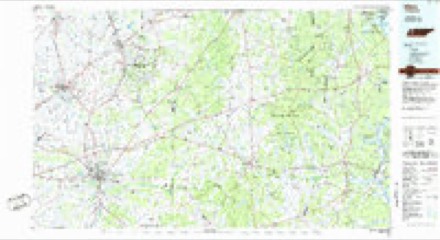
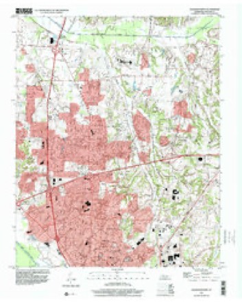
12 topographic sheets cover this place, the earliest surveyed in 1950 and the latest in 1997. It stands in District 10. It lies in ZIP code area 38305. The Survey maps it on the Jackson North quadrangle.
Topographic sheets covering this place
6 surveys from 12 printed sheetsMatched by testing this settlement's coordinate against the published boundary of every sheet in the United States Geological Survey's historical collection. Each opens the scanned sheet at the Survey.
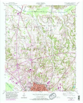
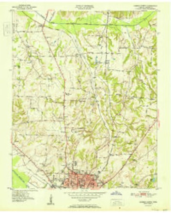
- 1950 USGS Jackson North quadrangle1:24000, 5 printings
- 1951 USGS Jackson North quadrangle1:24000
- 1956 USGS Blytheville quadrangle1:250000, 2 printings
- 1959 USGS Blytheville quadrangle1:250000
- 1986 USGS Milan quadrangle1:100000, 2 printings
- 1997 USGS Jackson North quadrangle1:24000
Fires near this place
1 since 1999Regional context, not property-specific evidence. The federal wildfire occurrence database lists 1 fire within 5 miles of Gilmore in 1999, burning under an acre in total. None started naturally. None was recorded as arson. Distance is straight-line from the map coordinates, so a fire counted here may appear on a neighbouring settlement's page as well.
| Reported cause | Fires |
|---|---|
| Equipment and vehicle use | 1 |
The most recent of them, most recent first, with the day each was reported and the service that recorded it.
| Date | Cause | Size | Reported by | Name on the report |
|---|---|---|---|---|
| 19 August 1999 | Equipment and vehicle use | under an acre | Tennessee Division of Forestry | not named |
Settlements close enough to share some of these fires:
Mines and quarries near this place
7 within 5 milesRegional context, not property-specific evidence. The federal mineral resources record lists 7 workings within 5 miles of Gilmore: 3 occurrences, 2 past producers, 2 prospects. None of them still produces. What was taken out: Clay, Fire Clay (Refractory), Ball Clay, Sand and Gravel, Construction. Distance is straight-line from the map coordinates, so a quarry counted here may appear on a neighbouring settlement's page as well.
| Where | Site | Commodity | Status | Recorded |
|---|---|---|---|---|
| Browns Church Road Prospect | Ball Clay | Prospect | ||
| Jackson Pit | Fire Clay (Refractory) | Past Producer | ||
| Sand Pit | Sand and Gravel, Construction | Past Producer | ||
| B.A. Bailey Farm Prospect | Clay | Occurrence | ||
| Gilmore Road Prospect | Clay | Prospect | ||
| Jackson City Prospects | Clay | Occurrence | ||
| Vol Vantrease Prospect | Clay | Occurrence |
Storms near this place
18 since 2000Regional context, not property-specific evidence. The National Weather Service names Gilmore in 18 storm reports between 2000 and 2026: 7 thunderstorm wind, 7 hail, 3 flash flood, 1 tornado. The reports record 51 injuries. Each account below is quoted exactly as the forecast office filed it, from the NOAA Storm Events Database, and each date opens the federal record of that event.
| When | Event | Place named | Harm | What the report says |
|---|---|---|---|---|
| February 2008 | Tornado (EF4) | Gilmore | 51 hurt, $100,000,000 | The tornado touched down at the Union University Campus near the U.S. Highway 45 Bypass in Jackson producing tremendous damage. Fifty one people were injured at Union University as two dormitories collapsed during the passage of the violent tornado. Eighty percent of the dorms were severely damaged or destroyed. Three academic buildings received major damage and 14 other campus buildings were damaged. Several hundred vehicles in the campus parking lots were also damaged or destroyed. The damage in the University area was rated EF-4 with maximum winds of 170 mph. The track was 125 yards wide. The damage at the university alone was estimated at $40,000,000. The tornado then tracked across the U.S. Highway 45 Bypass damaging several banks and businesses before hitting the Regional Hospital and adjacent doctors' offices. The tornado then moved across North Jackson inflicting significant damage to many subdivisions and businesses. The Chapel Creek, Indian Hills and Wyndhurst subdivisions were all struck by the tornado. The tornado also damaged the Jackson Oaks Senior Living Complex. The tornado continued to track northeast striking the Northside High School in the Oak Hill area. The tornado then moved through the Walnut Trace subdivision before crossing Old Medina Road and damaging more houses. The tornado then continued northeast causing EF-3 damage near the intersection of Christmasville Road and Ashport Road in Northeast Madison County before lifting. The Madison County Fire Station No. 11 was destroyed. The station's fire engine and pumper, water and brush trucks were all damaged. Several homes in the area were also damaged. The maximum winds were 145 mph in this area and the track was 100 yards wide. Along the track of this tornado over 70 structures were destroyed with over 500 more damaged. |
| April 2025 | Thunderstorm Wind | Gilmore | $5,000 | Damage to the roof of the PAC Building at Union University. |
| July 2000 | Thunderstorm Wind | Gilmore | $5,000 | A couple of trees were blown down. |
| April 2026 | Thunderstorm Wind | Gilmore | $2,000 | A large tree was knocked down on the Union University campus. |
| July 2019 | Flash Flood | Gilmore | $2,000 | Water covering Ridge Crest Road in Jackson. Various reports of other flooded roadways. |
| May 2024 | Thunderstorm Wind | Gilmore | $1,500 | Trees down across Pipkin Road near Shadow Ridge Drive. |
| January 2008 | Hail | Gilmore | $1,000 | no account filed |
| April 2025 | Hail | Gilmore | - | Half dollar sized hail at Exit 83 N Jackson. |
| July 2014 | Thunderstorm Wind | Gilmore | - | Straight line winds knocked down large trees and power lines on Old Medina Road in Jackson. |
| April 2012 | Hail | Gilmore | - | Penny to nickel size hail fell on the north side of Jackson. |
| June 2012 | Thunderstorm Wind | Gilmore | - | Straight line winds knocked down numerous trees and power lines in Jackson. |
| March 2010 | Hail | Gilmore | - | Penny size hail fell on Henderson Road in Jackson. |
| July 2009 | Thunderstorm Wind | Gilmore | - | Straight line winds knocked down trees on Browns Church Road and Beech Bluff Road. Several areas in the city had power lines knocked down. Power lines were also knocked down off Old Medina Road just north of Interstate 40. |
| January 2008 | Flash Flood | Gilmore | - | Heavy rain produced flash flooding across northeastern portions of Madison County and northeastern sections of Jackson. Several roadways were covered by up to 2 feet of water. Windy City Road and Bells Highway had to be closed for a short time. |
| May 2008 | Flash Flood | Gilmore | - | Heavy rain produced flash flooding in the Steeplechase Subdivision. At least a foot of water covered Windale Drive. In additon, water covered Plantation Drive as well. |
| March 2025 | Hail | Gilmore | - | no account filed |
| April 2025 | Hail | Gilmore | - | no account filed |
| March 2017 | Hail | Gilmore | - | no account filed |
Nearest settlements
The eight closest, with where each one stands in the county. Distances are straight-line, computed from the Geographic Names Information System coordinates.
| Map | Place | Distance | Sheets |
|---|---|---|---|
| Oakfield | 1.9 miles | 12 | |
| Carroll | 2.2 miles | 12 | |
| Lawrence | 2.8 miles | 12 | |
| Hicksville | 3.6 miles | 12 | |
| Youngs Crossing | 4.2 miles | 12 | |
| Westwood Gardens | 4.2 miles | 12 | |
| Allenton Heights | 4.4 miles | 10 | |
| Jackson | 5.1 miles | 10 |
Provenance
This settlement is recorded in the Geographic Names Information System as feature 1285427. The sheet list is computed by point-in-boundary test against the United States Geological Survey's historical topographic inventory. Both are works of the United States government and carry no copyright under 17 U.S.C. 105.
Wildfire. Short, Karen C. 2022. Spatial wildfire occurrence data for the United States, 1992-2020 [FPA_FOD_20221014]. 6th Edition. Fort Collins, CO: Forest Service Research Data Archive. https://doi.org/10.2737/RDS-2013-0009.6 Collected with United States Government funding and usable without additional permissions or fees.
Mines and quarries. USGS Mineral Resources Data System (MRDS) https://mrdata.usgs.gov/mrds/ A work of the United States government, no copyright under 17 U.S.C. 105.
Storms. NOAA National Centers for Environmental Information, Storm Events Database https://www.ncei.noaa.gov/stormevents/ A work of the United States government, no copyright under 17 U.S.C. 105. Narratives are quoted verbatim from the National Weather Service report and are not edited or summarised.