 Block
Glencliff, Tennessee
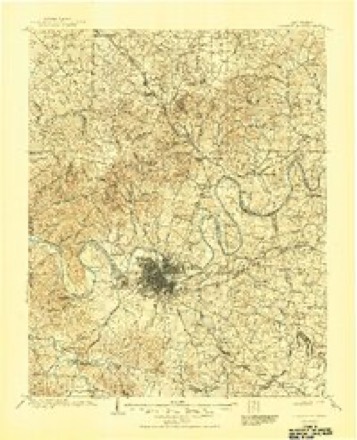
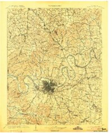
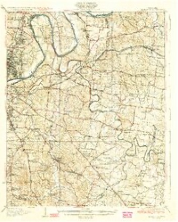
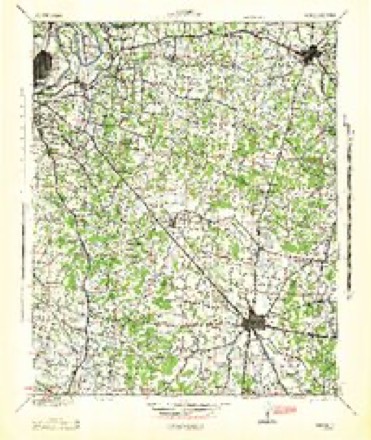
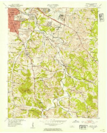
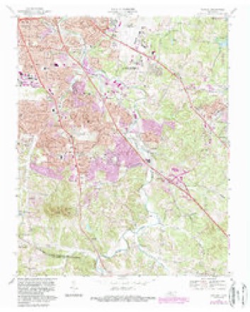
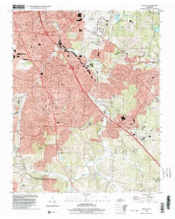
19 topographic sheets cover this place, the earliest surveyed in 1903 and the latest in 1999. It stands in District 16. It lies in ZIP code area 37211. It stands on Sevenmile Creek. The Survey maps it on the Antioch quadrangle.
Topographic sheets covering this place
10 surveys from 19 printed sheetsMatched by testing this settlement's coordinate against the published boundary of every sheet in the United States Geological Survey's historical collection. Each opens the scanned sheet at the Survey.
- 1903 USGS Greenbrier quadrangle1:125000, 2 printings
- 1903 USGS Nashville quadrangle1:125000, 2 printings
- 1932 USGS Hermitage quadrangle1:62500, 3 printings
- 1942 USGS Lebanon quadrangle1:100000
- 1952 USGS Antioch quadrangle1:24000, 2 printings
- 1956 USGS Nashville quadrangle1:250000, 2 printings
- 1959 USGS Nashville quadrangle1:250000
- 1968 USGS Antioch quadrangle1:24000, 4 printings
- 1984 USGS Nashville quadrangle1:100000
- 1999 USGS Antioch quadrangle1:24000



Fires near this place
3 since 1997Regional context, not property-specific evidence. The federal wildfire occurrence database lists 3 fires within 5 miles of Glencliff between 1997 and 2005, burning about 7 acres in total. None started naturally. None was recorded as arson. Distance is straight-line from the map coordinates, so a fire counted here may appear on a neighbouring settlement's page as well.
| Reported cause | Fires |
|---|---|
| Debris and open burning | 3 |
The most recent of them, most recent first, with the day each was reported and the service that recorded it.
| Date | Cause | Size | Reported by | Name on the report |
|---|---|---|---|---|
| 14 December 1997 | Debris and open burning | under an acre | Tennessee Division of Forestry | not named |
| 3 January 1998 | Debris and open burning | under an acre | Tennessee Division of Forestry | not named |
| 25 January 2005 | Debris and open burning | 7.0 acres | Tennessee Division of Forestry | not named |
Settlements close enough to share some of these fires:
Mines and quarries near this place
10 within 5 milesRegional context, not property-specific evidence. The federal mineral resources record lists 10 workings within 5 miles of Glencliff: 6 producers, 3 past producers, 1 plant. 7 still produce. What was taken out: Stone, Crushed/Broken, Limestone, General, Sand and Gravel, Construction, Fluorine-Fluorite. Distance is straight-line from the map coordinates, so a quarry counted here may appear on a neighbouring settlement's page as well.
| Where | Site | Commodity | Status | Recorded |
|---|---|---|---|---|
| Donelson Pike Quarry | Stone, Crushed/Broken, Limestone, General | Producer | Limestone | |
| Herbert Sand Yard | Sand and Gravel, Construction | Producer | ||
| Nashville Plant-Uss Agri-Chemical | Fluorine-Fluorite | Plant | ||
| Derryberry Construction Bo. Quarry | Limestone, General | Past Producer | Sedimentary | |
| Glencliff Quarry | Limestone, General | Past Producer | Sedimentary | |
| Danley Plant #516 | Stone, Crushed/Broken | Producer | Limestone | |
| Danley Quarry | Stone, Crushed/Broken | Producer | ||
| Derryberry Construction Bo. Quarry | Stone, Crushed/Broken | Past Producer | ||
| Donelson Pike Quarry | Stone, Crushed/Broken | Producer | ||
| Glencliff Quarry | Stone, Crushed/Broken | Producer |
Storms near this place
15 since 2009Regional context, not property-specific evidence. The National Weather Service names Glencliff in 15 storm reports between 2009 and 2022: 9 thunderstorm wind, 2 lightning, 1 hail, 1 tornado. The reports record 1 injury. Each account below is quoted exactly as the forecast office filed it, from the NOAA Storm Events Database, and each date opens the federal record of that event.
| When | Event | Place named | Harm | What the report says |
|---|---|---|---|---|
| April 2009 | Tornado (EF1) | Glencliff | 1 hurt, $500,000 | An EF1 Tornado with maximum estimated wind speed around 90 to 100 mph touched down in the Nashville Metro Area.||The tornado touched down south of Briley Parkway and Murfreesboro |Pike, where it caused minor damage to houses and downed several|trees. As the tornado crossed Murfreesboro Pike and it damaged several |businesses, some significantly. The tornado continued north and |caused minor damage to houses and downed trees, some very large,|then crossed Interstate 40 west of Briley Parkway and lifted near Elm Hill Pike. The path length of the tornado was almost two miles, and the maximum width was 50 to 100 yards wide. One minor injury was reported but no additional information was provided. Additional details provided by the public, trained spotters, and amateur radio included |2 overturned semi-trucks at Interstate 40 and Briley Parkway and at 1204 Murfreesboro Road roof damage to a building with 20 to 30 cars damaged in the parking lot. A newspaper reported an exterior wall collapsed onto a car at Bridgestone Firestone Tire Store, with two large power lines snapped and leaning over Murfreesboro Road and tires were tossed more than 300 yards. |
| June 2014 | Lightning | Glencliff | $200,000 | The Trinity Church of the Nazarene on Vultee Boulevard was struck by lightning and destroyed by fire. This was the second time the church had been struck by lightning, as it was previously struck in July 2012. |
| July 2012 | Lightning | Glencliff | $30,000 | Lightning destroyed the steeple of a church on Vultee Boulevard and set the building on fire. Specific details concerning any damage to the church as the result of the building fire were unknown. |
| November 2016 | Flood | Glencliff | $10,000 | Amateur radio and local media reported minor roadway flooding at Thompson Ln at Nolensville Rd, Murfreesboro Rd at Thompson Ln, and Harding Pl at Antioch Pk in southeastNashville. In addition, Orr Ave was partially flooded, and a car became stranded with a water rescue performed. |
| May 2012 | Thunderstorm Wind | Glencliff | $5,000 | Two trees were blown down on Radford Drive. |
| July 2016 | Thunderstorm Wind | Glencliff | $2,000 | A dead tree and a power pole were blown down on Saturn Drive. |
| September 2015 | Thunderstorm Wind | Glencliff | $2,000 | One old tree and a few large tree limbs were blown down near the Nashville International Airport. |
| July 2015 | Thunderstorm Wind | Glencliff | $1,000 | A CWSU employee and Twitter reports indicated high winds plus a lightning strike to the Nashville International Airport Terminal caused brief power outages at the airport, resulting in the diversion of several flight to other airports. The BNA ASOS at located at the airport measured a peak wind gust of 54 mph. |
| February 2011 | Flash Flood | Glencliff | $1,000 | Spotter reported Murfreesboro Road flooded between Kermit Drive and Thompson Lane. Water was deep enough to cause some larger trucks problems while driving through this area. |
| April 2022 | Thunderstorm Wind | Glencliff | - | A 64 mph wind gust was measured at the Nashville International Airport ASOS. |
| May 2020 | Thunderstorm Wind | Glencliff | - | The Nashville International Airport ASOS measured a wind gust of 62 mph three minutes after the peak wind gust of 71 mph. |
| May 2020 | Thunderstorm Wind | Glencliff | - | The Nashville International Airport ASOS measured a peak wind gust of 71 mph. |
| July 2016 | Thunderstorm Wind | Glencliff | - | Nashville International Airport ASOS measured a wind gust of 59 mph. |
| July 2016 | Thunderstorm Wind | Glencliff | - | Nashville International Airport ASOS measured a wind gust of 60 mph. |
| May 2009 | Hail | Glencliff | - | In the Murfreesboro Pike area, nickel to quarter size hail was reported. |
Nearest settlements
The eight closest, with where each one stands in the county. Distances are straight-line, computed from the Geographic Names Information System coordinates.
| Map | Place | Distance | Sheets |
|---|---|---|---|
| Dog Town (historical) | 0.5 miles | 21 | |
| Glenview | 1.0 miles | 21 | |
| Woodbine | 1.3 miles | 19 | |
| Curry (historical) | 1.6 miles | 19 | |
| Radnor | 1.7 miles | 19 | |
| Jimtown (historical) | 2.0 miles | 21 | |
| Beverly Heights | 2.2 miles | 19 | |
| Mudtavern | 2.4 miles | 21 |
Provenance
This settlement is recorded in the Geographic Names Information System as feature 1285502. The sheet list is computed by point-in-boundary test against the United States Geological Survey's historical topographic inventory. Both are works of the United States government and carry no copyright under 17 U.S.C. 105.
Wildfire. Short, Karen C. 2022. Spatial wildfire occurrence data for the United States, 1992-2020 [FPA_FOD_20221014]. 6th Edition. Fort Collins, CO: Forest Service Research Data Archive. https://doi.org/10.2737/RDS-2013-0009.6 Collected with United States Government funding and usable without additional permissions or fees.
Mines and quarries. USGS Mineral Resources Data System (MRDS) https://mrdata.usgs.gov/mrds/ A work of the United States government, no copyright under 17 U.S.C. 105.
Storms. NOAA National Centers for Environmental Information, Storm Events Database https://www.ncei.noaa.gov/stormevents/ A work of the United States government, no copyright under 17 U.S.C. 105. Narratives are quoted verbatim from the National Weather Service report and are not edited or summarised.