 Block
Lincoln, Tennessee
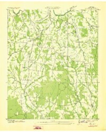
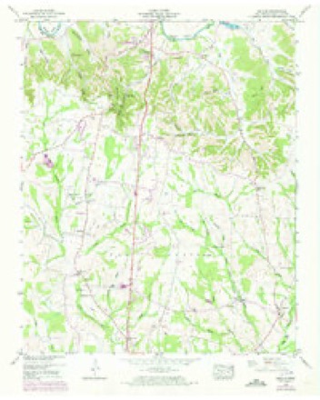
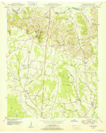
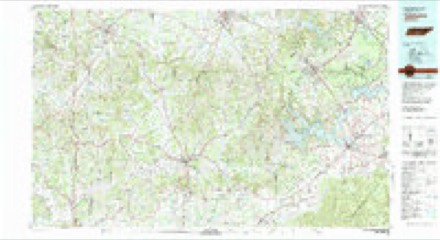
12 topographic sheets cover this place, the earliest surveyed in 1936 and the latest in 1981. It stands in District 8. It lies in ZIP code area 37334. It stands on Harbin Branch. The Survey maps it on the Lincoln quadrangle.
Topographic sheets covering this place
5 surveys from 12 printed sheetsMatched by testing this settlement's coordinate against the published boundary of every sheet in the United States Geological Survey's historical collection. Each opens the scanned sheet at the Survey.
- 1936 USGS Lincoln quadrangle1:24000
- 1949 USGS Lincoln quadrangle1:24000, 3 printings
- 1951 USGS Lincoln quadrangle1:24000
- 1956 USGS Columbia quadrangle1:250000, 6 printings
- 1981 USGS Tullahoma quadrangle1:100000

Fires near this place
260 since 1997Regional context, not property-specific evidence. The federal wildfire occurrence database lists 260 fires within 5 miles of Lincoln between 1997 and 2020, burning about 922 acres in total. 3 started naturally. 22 were recorded as arson. Distance is straight-line from the map coordinates, so a fire counted here may appear on a neighbouring settlement's page as well.
| Reported cause | Fires |
|---|---|
| Debris and open burning | 182 |
| Arson/incendiarism | 22 |
| Missing data/not specified/undetermined | 19 |
| Equipment and vehicle use | 17 |
| Misuse of fire by a minor | 9 |
| Smoking | 5 |
| Natural | 3 |
| Other causes | 2 |
| Recreation and ceremony | 1 |
The most recent of them, most recent first, with the day each was reported and the service that recorded it.
| Date | Cause | Size | Reported by | Name on the report |
|---|---|---|---|---|
| 8 September 2010 | Missing data/not specified/undetermined | 3.0 acres | Tennessee Division of Forestry | WIND WOOD |
| 8 September 1998 | Arson/incendiarism | 30 acres | Alabama Forestry Commission | not named |
| 6 September 2000 | Missing data/not specified/undetermined | 2.0 acres | Tennessee Division of Forestry | not named |
| 6 September 1998 | Debris and open burning | 4.0 acres | Tennessee Division of Forestry | not named |
| 5 September 2007 | Debris and open burning | under an acre | Tennessee Division of Forestry | GOODWIN |
| 4 September 2002 | Missing data/not specified/undetermined | 2.0 acres | Tennessee Division of Forestry | not named |
| 30 September 2007 | Other causes | 2.0 acres | Tennessee Division of Forestry | CORDERS CROSSROADS |
| 29 September 2005 | Debris and open burning | under an acre | Tennessee Division of Forestry | not named |
Settlements close enough to share some of these fires:
Storms near this place
18 since 1995Regional context, not property-specific evidence. The National Weather Service names Lincoln in 18 storm reports between 1995 and 2025: 11 thunderstorm wind, 4 tornado, 2 flash flood, 1 lightning. The reports record 2 deaths. Each account below is quoted exactly as the forecast office filed it, from the NOAA Storm Events Database, and each date opens the federal record of that event.
| When | Event | Place named | Harm | What the report says |
|---|---|---|---|---|
| April 2014 | Tornado (EF3) | Lincoln | 2 killed | A tornado touched down in extreme southern Lincoln County, just north of the state line, near the intersection of Jeans Road and Old Quick Road. The tornado produced mainly tree damage as it moved northeast across Lincoln Road, but tore off portions of the roofs of houses along Smith Mill Road. It continued moving northeast and intensified near the intersection of Old Lincoln Road and Tipton Lane where it produced its most significant damage. Three houses were almost completely destroyed, leaving only a few interior walls standing. This is also the area where two fatalities occurred, as their mobile home was flipped and destroyed, with its frame having been thrown approximately 125 yards across the street. At another nearby house along Smith Mill Road, even interior walls were collapsed and pushed (though left partially intact). The cars In the attached garage were pushed 10 to 15 feet. A nearby barn was completely destroyed and a nearby RV was rolled approximately 10 yards. The tornado tore off much of the roof from South Lincoln Elementary school, dragged a school bus approximately 75 yards, and caused it to impact the front wall of the school. Additional damage was incurred to homes just northeast of the school, where large sections of roofing were removed. Some of the most widespread damage occurred along Price Lane where multiple mobile homes were rolled as much as 50 yards and completely destroyed. Single family homes had exterior walls collapsed and roofs removed with electrical transmission towers completely toppled. The tornado continued to produce tree and roof damage as it moved northeast across Corders Crossroads and Crystal Springs Roads. Houses were pushed off their foundations near the intersection of Howell Mill Road and Crystal Springs Road, and nearby truss electrical transmission towers were crumpled.||The tornado appeared to weaken somewhat northeast of this location as it continued to snap multiple trees and produce minor roof damage. It broadened upon crossing Highway 64 and moved along Smithland Road where it snapped hundreds more trees and a few power poles. The tornado crossed the Elk river, toppled more trees, and produced minor roof damage in the Champ community. |
| June 2013 | Lightning | Lincoln | $10,000 | Lightning struck a tree, resulting in it falling onto a home along Highway 231 about a mile north of the Tennessee and Alabama border in Lincoln County, Tennessee. |
| July 1995 | Thunderstorm Wind | Lincoln | $5,000 | Several trees and power lines were knocked down. |
| June 2009 | Thunderstorm Wind | Lincoln | $2,000 | Thunderstorm winds knocked a large tree with an 8 foot diameter root bulb onto Highway 275. |
| April 2025 | Thunderstorm Wind | Lincoln | $1,000 | A tree was knocked down onto the roadway at the intersection of South Lincoln Road and Brookwood Drive. |
| April 2025 | Thunderstorm Wind | Lincoln | $1,000 | A large tree was knocked down onto the roadway covering both lanes at 52 You Take It Road. |
| April 2025 | Thunderstorm Wind | Lincoln | $1,000 | A tree was knocked down on Smith Mill Road. |
| June 2024 | Thunderstorm Wind | Lincoln | $1,000 | Power lines were hanging low due to strong thunderstorm winds at the intersection of Lincoln Road and Smith Mill Road. Time estimated by radar. |
| June 2023 | Thunderstorm Wind | Lincoln | $1,000 | A tree was knocked down across the roadway at the intersection of Old Quick Road and Lincoln Road. Time estimated by radar. |
| May 2024 | Tornado (EF0) | Lincoln | - | A tornado touched down on South Patrick Road near Eastwood Estates causing structural damage to a manufactured home and uprooted numerous trees. It continued to the southeast across Old Quick Road, uprooting and splitting numerous additional trees. |
| April 2023 | Tornado (EF3) | Lincoln | - | A tornado tracked out of Madison County, Alabama into Lincoln County after crossing Borderline Road. The tornado's estimated peak wind of 160 mph was noted at the intersection of Borderline Road and Myers Road where a newly constructed, however not completed, home was destroyed with a complete collapse of walls. The degree of damage at this location was slightly lowered below expected values due an uncertainty in the status of the garage, which was facing west. The tornado paralleled Borderline Road as it continued east-northeast. Sporadic trees were uprooted and snapped south of Vanntown, crossing Hester Creek. The tornado with a peak wind speed of 143 mph destroyed several farm outbuildings housing farm equipment from Mason Road eastward onto Echols Road. The tornado was weakening at this point, and finally lifted just after it crossed John Hunter Highway (Highway 122) just south of Elora in far southeastern Lincoln County. Tin was strewn into an open field in this location, but no further tree or structural damage was noted beyond the tree line near Collins Road and Mountain Road. |
| September 2021 | Flash Flood | Lincoln | - | A water rescue due to flash flooding occurred at 100 Old Lincoln Road and Shelton Road. Time estimated. |
| September 2021 | Flash Flood | Lincoln | - | A water rescue occurred due to flash flooding at 40 Vanntown Road. Time estimated. |
| June 2019 | Thunderstorm Wind | Lincoln | - | Thunderstorm winds blew over a hay bar and snapped tree limbs on South Lincoln Road. Time was esimated by radar. |
| May 2019 | Tornado (EF0) | Lincoln | - | The tornado intensified slightly on the Tennessee side of Hunter Rd. The maximum intensity of this tornado was noted in this area with peak wind speeds of 80 mph. This is where two large hardwood trees were uprooted. The uprooted trees heavily damaged one home on the north side of Hunter Road. The tornado progressed toward Old Quick Road, where another large tree was uprooted. It then tracked northeast toward the junction of Jeans Road and Quick School Road, where it started to weaken. Sporatic large limb damage were the main damage indicators in this location. The tornado likely lifted and dissipated very close to Lincoln Road, in the Mason Branch Creek area. |
| June 2016 | Thunderstorm Wind | Lincoln | - | Trees were knocked down on Ellis Childress Road. |
| June 2016 | Thunderstorm Wind | Lincoln | - | Trees were knocked down on Smith Mill Road. |
| June 2003 | Thunderstorm Wind | Lincoln | - | EMA reported trees down. |
Nearest settlements
The eight closest, with where each one stands in the county. Distances are straight-line, computed from the Geographic Names Information System coordinates.
| Map | Place | Distance | Sheets |
|---|---|---|---|
| Rozells Mill | 1.0 miles | 12 | |
| New Hope | 1.8 miles | 11 | |
| Bucks Mill | 1.8 miles | 21 | |
| Three Oaks | 2.3 miles | 12 | |
| Eastwood Estates | 2.6 miles | 12 | |
| Vanntown | 2.8 miles | 11 | |
| Howell Hill | 3.3 miles | 12 | |
| Hilldale Estates | 3.6 miles | 12 |
Provenance
This settlement is recorded in the Geographic Names Information System as feature 1291303. The sheet list is computed by point-in-boundary test against the United States Geological Survey's historical topographic inventory. Both are works of the United States government and carry no copyright under 17 U.S.C. 105.
Wildfire. Short, Karen C. 2022. Spatial wildfire occurrence data for the United States, 1992-2020 [FPA_FOD_20221014]. 6th Edition. Fort Collins, CO: Forest Service Research Data Archive. https://doi.org/10.2737/RDS-2013-0009.6 Collected with United States Government funding and usable without additional permissions or fees.
Storms. NOAA National Centers for Environmental Information, Storm Events Database https://www.ncei.noaa.gov/stormevents/ A work of the United States government, no copyright under 17 U.S.C. 105. Narratives are quoted verbatim from the National Weather Service report and are not edited or summarised.