 Block
Vanntown, Tennessee
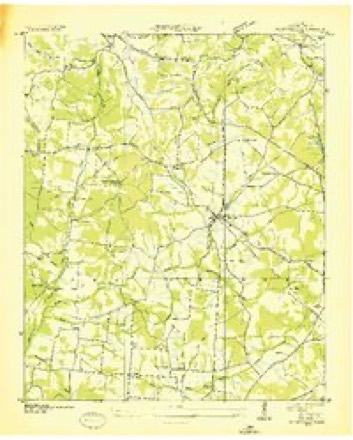
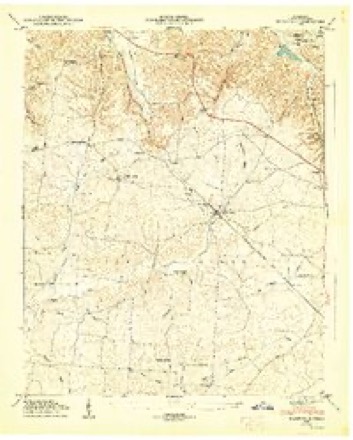
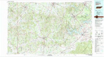
11 topographic sheets cover this place, the earliest surveyed in 1936 and the latest in 1981. It stands in District 7. It lies in ZIP code area 37335. It stands on Puncheon Camp Branch. The Survey maps it on the Flintville quadrangle.
Topographic sheets covering this place
4 surveys from 11 printed sheetsMatched by testing this settlement's coordinate against the published boundary of every sheet in the United States Geological Survey's historical collection. Each opens the scanned sheet at the Survey.
- 1936 USGS Flintville quadrangle1:24000
- 1947 USGS Flintville quadrangle1:24000, 3 printings
- 1956 USGS Columbia quadrangle1:250000, 6 printings
- 1981 USGS Tullahoma quadrangle1:100000

Fires near this place
218 since 1997Regional context, not property-specific evidence. The federal wildfire occurrence database lists 218 fires within 5 miles of Vanntown between 1997 and 2020, burning about 926 acres in total. 2 started naturally. 13 were recorded as arson. Distance is straight-line from the map coordinates, so a fire counted here may appear on a neighbouring settlement's page as well.
| Reported cause | Fires |
|---|---|
| Debris and open burning | 161 |
| Missing data/not specified/undetermined | 16 |
| Equipment and vehicle use | 14 |
| Arson/incendiarism | 13 |
| Smoking | 5 |
| Misuse of fire by a minor | 4 |
| Other causes | 3 |
| Natural | 2 |
The most recent of them, most recent first, with the day each was reported and the service that recorded it.
| Date | Cause | Size | Reported by | Name on the report |
|---|---|---|---|---|
| 8 September 1998 | Arson/incendiarism | 30 acres | Alabama Forestry Commission | not named |
| 6 September 1999 | Debris and open burning | under an acre | Tennessee Division of Forestry | not named |
| 6 September 1998 | Debris and open burning | 4.0 acres | Tennessee Division of Forestry | not named |
| 5 September 2006 | Debris and open burning | 6.0 acres | Tennessee Division of Forestry | not named |
| 30 September 2007 | Other causes | 2.0 acres | Tennessee Division of Forestry | CORDERS CROSSROADS |
| 29 September 2002 | Equipment and vehicle use | 3.0 acres | Tennessee Division of Forestry | not named |
| 28 September 1999 | Missing data/not specified/undetermined | under an acre | Tennessee Division of Forestry | not named |
| 24 September 1999 | Debris and open burning | under an acre | Alabama Forestry Commission | not named |
Settlements close enough to share some of these fires:
Storms near this place
11 since 2004Regional context, not property-specific evidence. The National Weather Service names Vanntown in 11 storm reports between 2004 and 2024: 5 tornado, 3 thunderstorm wind, 2 flash flood, 1 lightning. No death or injury is recorded in these reports. Each account below is quoted exactly as the forecast office filed it, from the NOAA Storm Events Database, and each date opens the federal record of that event.
| When | Event | Place named | Harm | What the report says |
|---|---|---|---|---|
| July 2012 | Lightning | Vanntown | $50,000 | Lightning struck a home and ignited a fire, resulting in extensive damage. |
| May 2004 | Tornado (F1) | Vanntown | $10,000 | F1 tornado moved out of Madison County in Alabama and into southeast Lincoln County in Tennessee. The tornado snapped numerous trees and power poles with some of the debris falling on structures. |
| November 2007 | Tornado (EF1) | Vanntown | $5,000 | A supercell thunderstorm developed ahead of a strong cold front that moved through southern middle Tennessee. The storm intensified over southeastern Lincoln county between 5:30 and 5:35 PM. This thunderstorm produced an EF-1 tornado one mile south southwest of Flintville at 5:35 PM. This tornado exhibited maximum wind speeds of 90 mph and a path width of 75 yards. A storage shed was destroyed and a pole barn suffered considerable damage. As the tornado continued east northeast, a large oak tree, at least 50 years old, was uprooted just northeast of the pole barn. The track continued in an east northeast direction until it lifted two and one half miles east of Flintville. In other locations along the path EF-0 damage was evident. Tree were blown down and tops of trees snapped off. |
| August 2024 | Thunderstorm Wind | Vanntown | $1,000 | A tree was reported down completely blocking the road near the intersection of Walker Ford Road and Oliver Smith road. |
| July 2023 | Thunderstorm Wind | Vanntown | $1,000 | A tree was knocked down blocking both lanes of the road at 11 Walker Ford Road. Time estimated by radar. |
| June 2018 | Thunderstorm Wind | Vanntown | $1,000 | A tree was knocked down on a house in the Vanntown area. |
| May 2024 | Tornado (EF1) | Vanntown | - | A tornado touched southwest of Flintville producing tree damage off of North George Road. The track continued southeast passing to the south and southeast of Flintville with numerous trees snapped or uprooted. At this point, the width of the tornado was estimated at 300 yards. The tornado then crossed into Madison County in Alabama. |
| September 2021 | Flash Flood | Vanntown | - | A water rescue was performed due to flash flooding at 7 M. Jones Road and Walker Ford Road. Time estimated. |
| September 2021 | Flash Flood | Vanntown | - | A water rescue was performed due to flash flooding on 7 M. Jones Road in Flintville. |
| April 2014 | Tornado (EF2) | Vanntown | - | The tornado touched down along North King Road, near the intersection with Lincoln Loop Road. It snapped and uprooted many trees along Lincoln Loop Road then crossed Vanntown School Road. The tornado then damaged a farm complex along Stewarts Chapel Road, where it tore the roof off an office building, destroyed two metal sheds, and vaulted a metal silo 150 yards. It continued tracking northeast, snapping and uprooting numerous trees, and causing minor roof damage to single family residences. One large tree fell onto a residence along Wells Lee Road. The tornado continued to snap and uproot numerous trees as it crossed Flintville School Road and Elora Road, with minimal structural damage noted. As it crossed Highway 64 east of Old Elora Road, the tornado pushed a mobile home off its foundation. At this stage, the tornado appeared to weaken, causing progressively weaker tree damage as it crossed Hotel/Terry Dunavan Road north of Highway 64. It is believed to have dissipated between Hotel/Terry Dunavan road and the Franklin County line. |
| April 2006 | Tornado (F0) | Vanntown | - | A short lived F0 tornado briefly continued its northeast movement into extreme southeast Lincoln county before quickly dissipating. This tornado uprooted and heavily damaged four trees before quickly dissipating. |
Nearest settlements
The eight closest, with where each one stands in the county. Distances are straight-line, computed from the Geographic Names Information System coordinates.
| Map | Place | Distance | Sheets |
|---|---|---|---|
| New Hope | 2.7 miles | 11 | |
| Lincoln | 2.8 miles | 12 | |
| Bucks Mill | 3.7 miles | 21 | |
| Rozells Mill | 3.7 miles | 12 | |
| Flintville | 4.2 miles | 11 | |
| Crystal Springs | 4.5 miles | 11 | |
| Three Oaks | 4.9 miles | 12 | |
| Howell Hill | 4.9 miles | 12 |
Elsewhere
Matched on this settlement's Geographic Names Information System number rather than its name, so it cannot be a different place of the same name in another state.
| Wikidata item Q122551738 | The structured record the population and elevation above come from. Public domain (CC0). |
Provenance
This settlement is recorded in the Geographic Names Information System as feature 1273382. The sheet list is computed by point-in-boundary test against the United States Geological Survey's historical topographic inventory. Both are works of the United States government and carry no copyright under 17 U.S.C. 105.
Wildfire. Short, Karen C. 2022. Spatial wildfire occurrence data for the United States, 1992-2020 [FPA_FOD_20221014]. 6th Edition. Fort Collins, CO: Forest Service Research Data Archive. https://doi.org/10.2737/RDS-2013-0009.6 Collected with United States Government funding and usable without additional permissions or fees.
Storms. NOAA National Centers for Environmental Information, Storm Events Database https://www.ncei.noaa.gov/stormevents/ A work of the United States government, no copyright under 17 U.S.C. 105. Narratives are quoted verbatim from the National Weather Service report and are not edited or summarised.