 Block
Rover, Tennessee
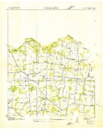
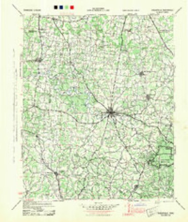
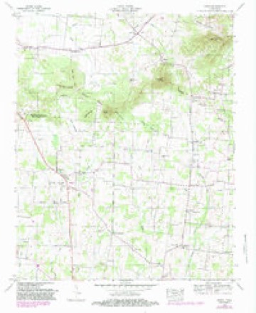
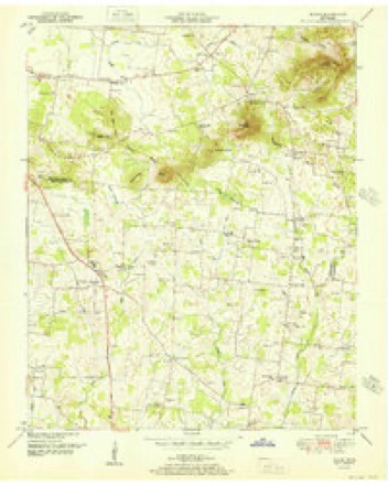
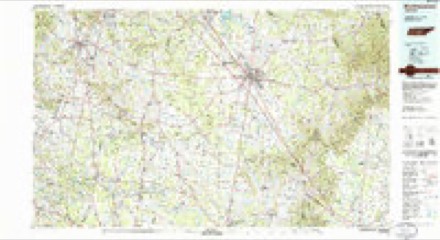
13 topographic sheets cover this place, the earliest surveyed in 1936 and the latest in 1985. It stands in District 3. It lies in ZIP code area 37153. The Survey maps it on the Rover quadrangle.
Topographic sheets covering this place
6 surveys from 13 printed sheetsMatched by testing this settlement's coordinate against the published boundary of every sheet in the United States Geological Survey's historical collection. Each opens the scanned sheet at the Survey.
- 1936 USGS Rover quadrangle1:24000
- 1944 USGS Shelbyville quadrangle1:100000
- 1949 USGS Rover quadrangle1:24000, 3 printings
- 1951 USGS Rover quadrangle1:24000
- 1956 USGS Columbia quadrangle1:250000, 6 printings
- 1985 USGS Murfreesboro quadrangle1:100000

Fires near this place
6 since 1998Regional context, not property-specific evidence. The federal wildfire occurrence database lists 6 fires within 5 miles of Rover between 1998 and 2014, burning about 43 acres in total. 1 started naturally. 2 were recorded as arson. Distance is straight-line from the map coordinates, so a fire counted here may appear on a neighbouring settlement's page as well.
| Reported cause | Fires |
|---|---|
| Debris and open burning | 3 |
| Arson/incendiarism | 2 |
| Natural | 1 |
The most recent of them, most recent first, with the day each was reported and the service that recorded it.
| Date | Cause | Size | Reported by | Name on the report |
|---|---|---|---|---|
| 6 August 1998 | Debris and open burning | 4.1 acres | Tennessee Division of Forestry | not named |
| 4 July 2012 | Natural | 2.0 acres | Tennessee Division of Forestry | WEST |
| 13 March 2014 | Debris and open burning | 10 acres | Tennessee Division of Forestry | COOK |
| 5 November 2005 | Debris and open burning | under an acre | Tennessee Division of Forestry | not named |
| 8 January 2006 | Arson/incendiarism | 17 acres | Tennessee Division of Forestry | not named |
| 28 January 2006 | Arson/incendiarism | 10 acres | Tennessee Division of Forestry | not named |
Settlements close enough to share some of these fires:
Storms near this place
10 since 2001Regional context, not property-specific evidence. The National Weather Service names Rover in 10 storm reports between 2001 and 2024: 4 flash flood, 2 thunderstorm wind, 2 flood, 1 hail. No death or injury is recorded in these reports. Each account below is quoted exactly as the forecast office filed it, from the NOAA Storm Events Database, and each date opens the federal record of that event.
| When | Event | Place named | Harm | What the report says |
|---|---|---|---|---|
| February 2019 | Flash Flood | Rover | $275,400 | Numerous roads were flooded and closed across Bedford County, including Highway 30 between the Duck River Bridge and Sulphur Springs Road, Sevier Street, Lipscomb Street, Coopertown Road, Maxwell Chapel Road, Threet Road, Longview Road, Rattlesnake Lodge Road, McDale Lane, Blue Ribbon Parkway, and many others. |
| September 2009 | Flood | Rover | $100,000 | A few public roads were covered with water, but several private roads and access lanes were impassible and many yards were turned into ponds across the county. The location receiving the greatest amount of rainfall was in Unionville, where a local CoCoRaHS observer reported 7.20 inches of rainfall. Other locations across the county ranged from 7 inches at Community High School to 2.85 inches at the Shelbyville Municipal Airport near Deason. One of the most hardest-hit locations was DJ's Market and Deli, on U.S. 231 North, across from Blackberry Ridge Golf Club, where up to five inches of water inundated the store. Part of the store's parking lot was also damaged, with large chunks cut into the pavement. Water also rose in several places along Liberty Pike (State Highway 269) north of Bell Buckle. The entrance to Parker Sain Road was impassible late in the morning and water was almost to the edge of the highway. |
| April 2023 | Tornado (EF1) | Rover | $50,000 | This narrative continues a tornado that began in Marshall County before tracking into Rutherford County. This tornado just clipped the extreme northwest edge of Bedford County where an outbuilding was heavily damaged. The tornado then continued back into Rutherford County. Damages are estimated for Bedford County. |
| May 2024 | Thunderstorm Wind | Rover | $15,000 | Numerous trees were snapped south of Eagleville from straight-line winds. Damages are a rough estimate. |
| January 2008 | Flood | Rover | $1,000 | High water was reported at the intersection of Wilson Pike and Clovercroft Rd. |
| July 2022 | Hail | Rover | - | Social media reports indicated quarter to ping pong ball size hail fell in Rover. |
| July 2022 | Flash Flood | Rover | - | A few roads were closed in Rover due to high water, including Cedar Grove Road. |
| February 2019 | Flash Flood | Rover | - | Numerous roads were flooded and closed across Bedford County, including Mullins Mill Road, Bugscuffle Road, Midland Road at Peacock Lane, Happy Valley Road, South Valley Road at Narrows and Woodland Drive, El Bethel Road at Shaw Road, Arnold Road at Fairfield Pike, Airport Road, Higgins Road, Millhouse Road, Hurricane Grove Road, Whiteside hill Road at Highway 130, Cathy Road, and Halls Mill Road at Virgil Crowell Road. |
| March 2018 | Flash Flood | Rover | - | Numerous roads were closed due to high water across Bedford County, especially around Wartrace. Roads that were flooded and closed near Wartrace included Bugscuffle Road, Higgins Road, Bell Buckle Highway at Wartrace Road, Potts Road, Cannon Road, and Jernigan Lane. Other roads flooded and closed across the county included Mullins Mill at Highway 41A South, Zion Hill Road at Unionville Road, Shaw Road at Highway 41A North, Eddy Road at Highway 231 North, Peacock Lane at Midland Road, Old Center Church Road at Earnest Campbell Road, Pass Road, Sims Road at Highway 64 West, Old Nashville Dirt Road at El Bethel Road, Old Flat Creek Road at Hilltop Road, 552 Rattlesnake Lodge Road, Wheel Road at Card Road, Quarry Street at Lipscomb Street, Burns Road, and Haley Road at Three Forks Bridge. |
| October 2001 | Thunderstorm Wind | Rover | - | Newspaper article account of Carlton's General Store, at Rover, had windows blown out and a visible break between the concrete walls and roof of the building due to strong thunderstorm winds. Earl Carlton, owner of the general store, said that less than a mile from his store a barn lost its roof and several cows were killed. The winds snapped and uprooted trees, and also downed power lines in Rover. |
Nearest settlements
The eight closest, with where each one stands in the county. Distances are straight-line, computed from the Geographic Names Information System coordinates.
| Map | Place | Distance | Sheets |
|---|---|---|---|
| Taylor Crossroads | 2.3 miles | 13 | |
| Cedar Grove | 2.5 miles | 12 | |
| Walnut Grove | 2.9 miles | 13 | |
| Unionville | 3.6 miles | 14 | |
| Carter Crossroads | 3.8 miles | 13 | |
| Newtown | 4.1 miles | 13 | |
| Longview | 4.2 miles | 13 | |
| Poplins Crossroads | 6.5 miles | 14 |
Provenance
This settlement is recorded in the Geographic Names Information System as feature 1300192. The sheet list is computed by point-in-boundary test against the United States Geological Survey's historical topographic inventory. Both are works of the United States government and carry no copyright under 17 U.S.C. 105.
Wildfire. Short, Karen C. 2022. Spatial wildfire occurrence data for the United States, 1992-2020 [FPA_FOD_20221014]. 6th Edition. Fort Collins, CO: Forest Service Research Data Archive. https://doi.org/10.2737/RDS-2013-0009.6 Collected with United States Government funding and usable without additional permissions or fees.
Storms. NOAA National Centers for Environmental Information, Storm Events Database https://www.ncei.noaa.gov/stormevents/ A work of the United States government, no copyright under 17 U.S.C. 105. Narratives are quoted verbatim from the National Weather Service report and are not edited or summarised.